Journey Across the Uinta Highline Trail
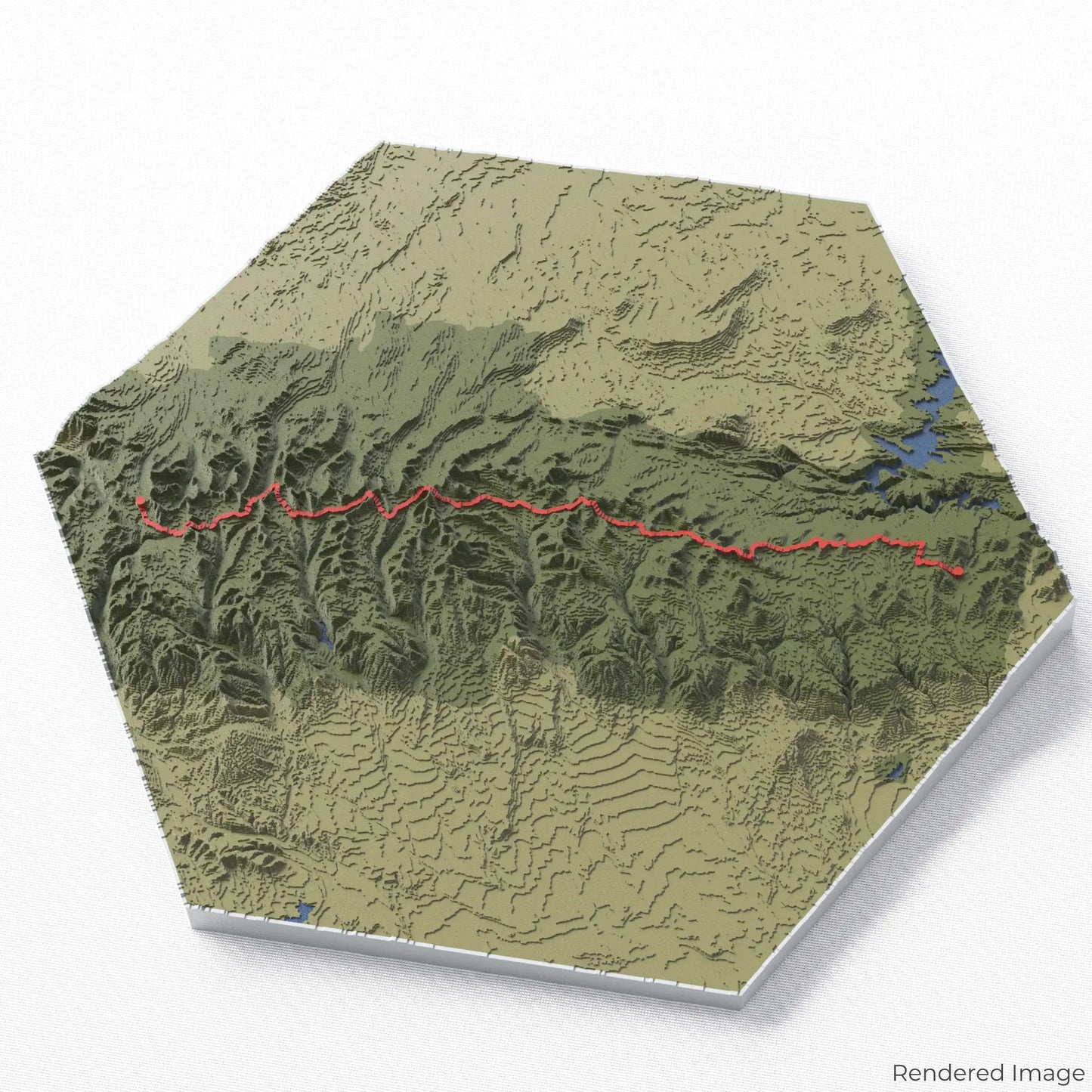
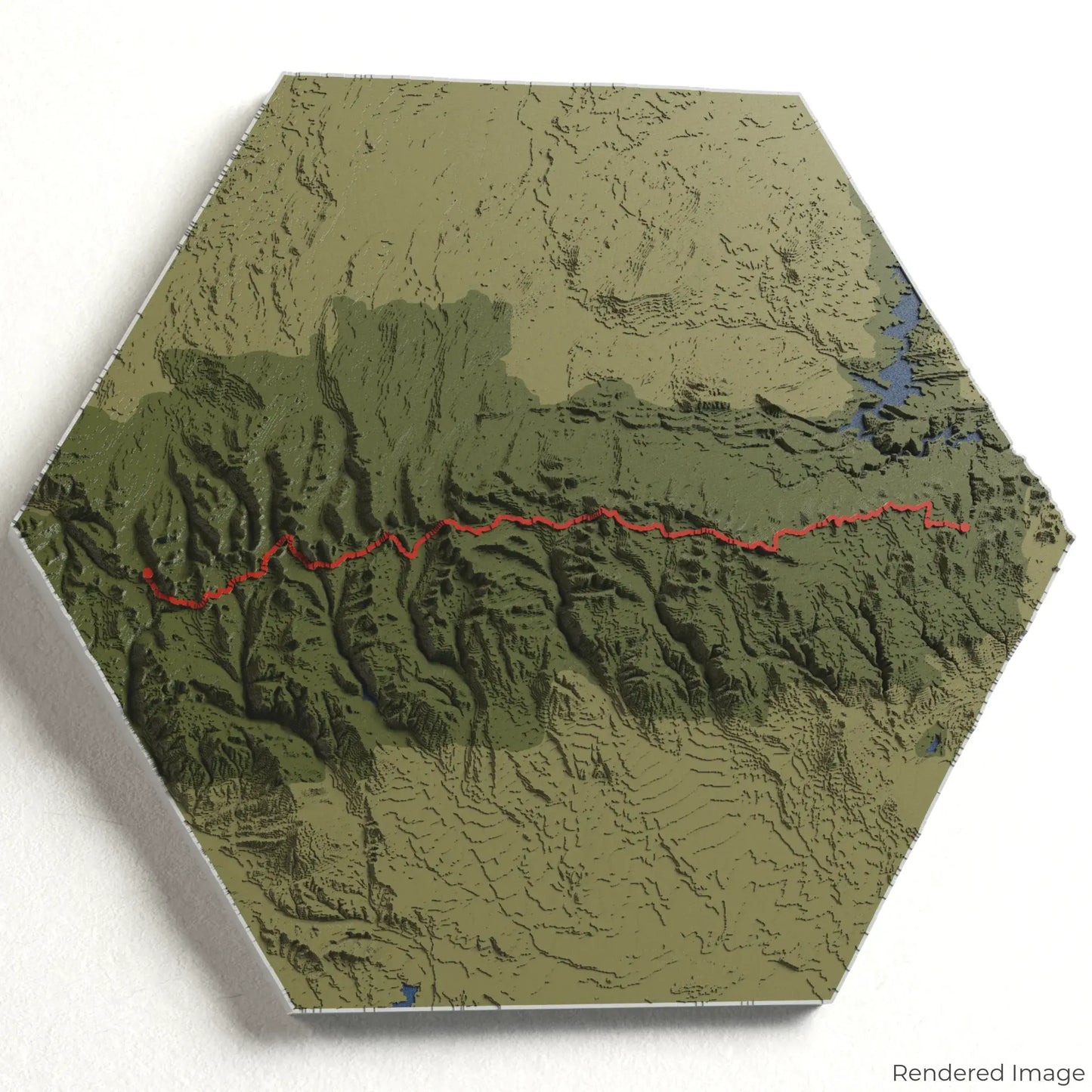
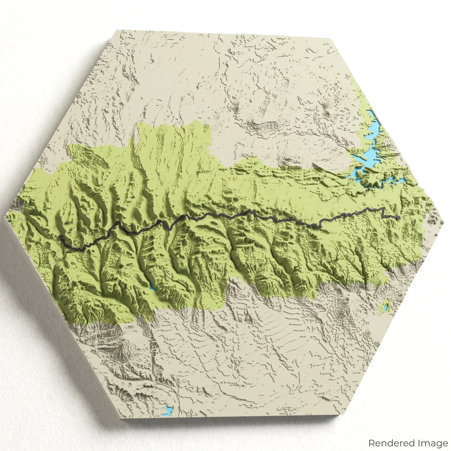
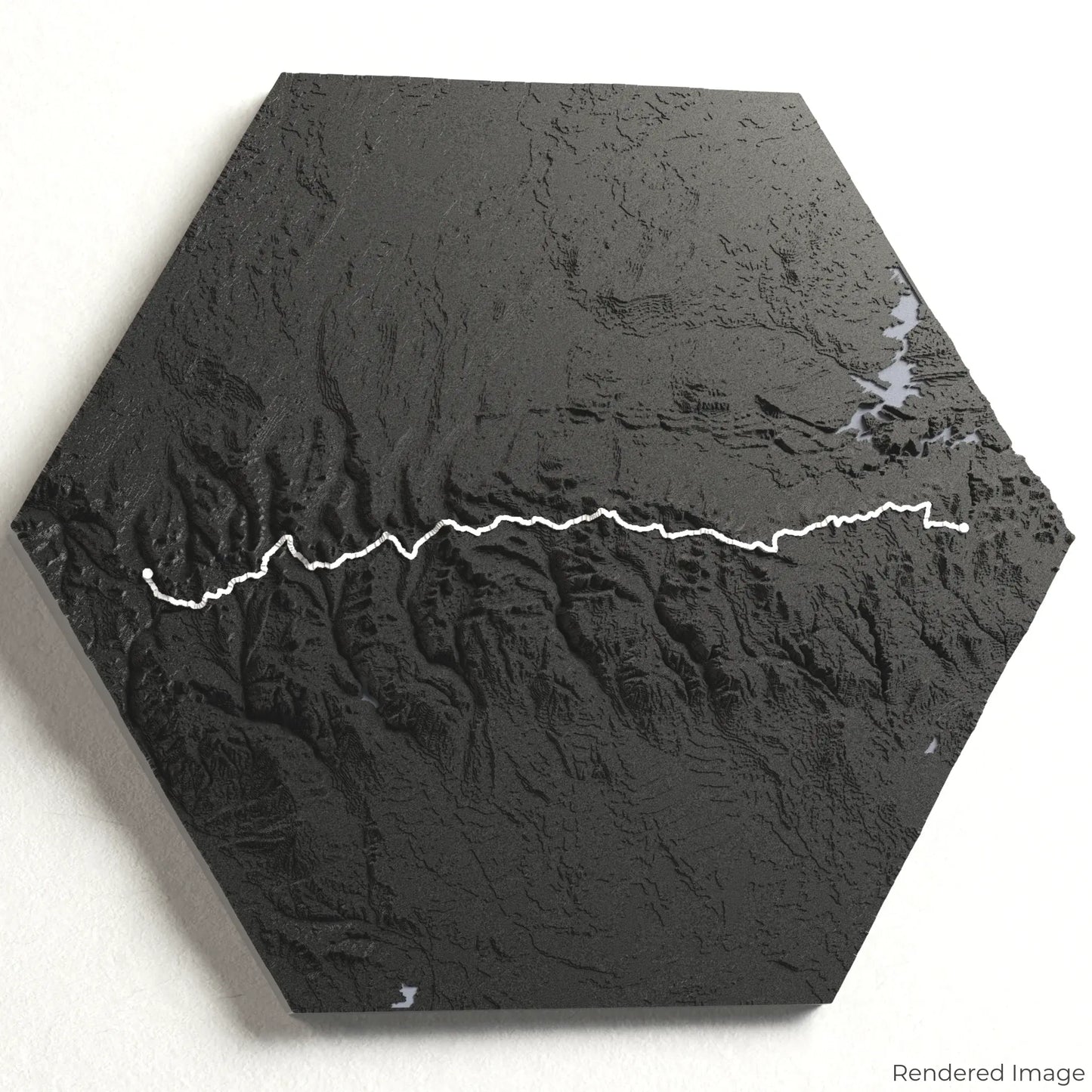
Experience the rugged beauty of Utah’s wilderness with our 3D topographic map of the Uinta Highline Trail. This remote and challenging trek takes hikers across high alpine basins, dramatic ridgelines, and some of the wildest terrain in the lower 48 states.
A Trek Through Utah’s Alpine Wilderness
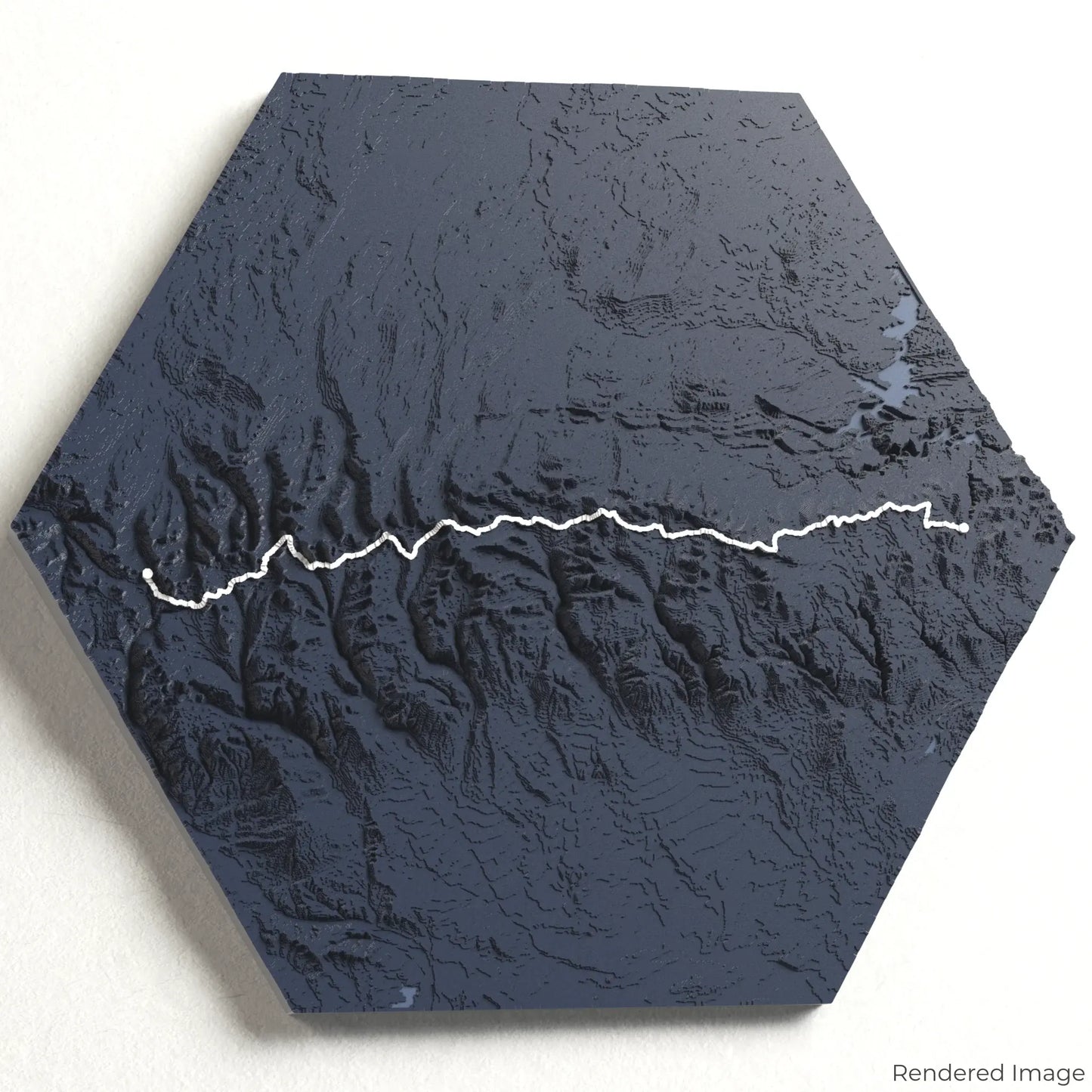
The Uinta Highline Trail stretches approximately 161 kilometres (100 miles), crossing the Uinta Mountains from Leidy Peak to Hayden Pass. With breathtaking views of Kings Peak—the highest point in Utah—and countless glacial lakes, this trail offers solitude and adventure in equal measure. Whether you've completed this incredible trek or aspire to take it on, our handcrafted map captures the essence of the Uinta Highline Trail.
Select The Perfect Trail Memento
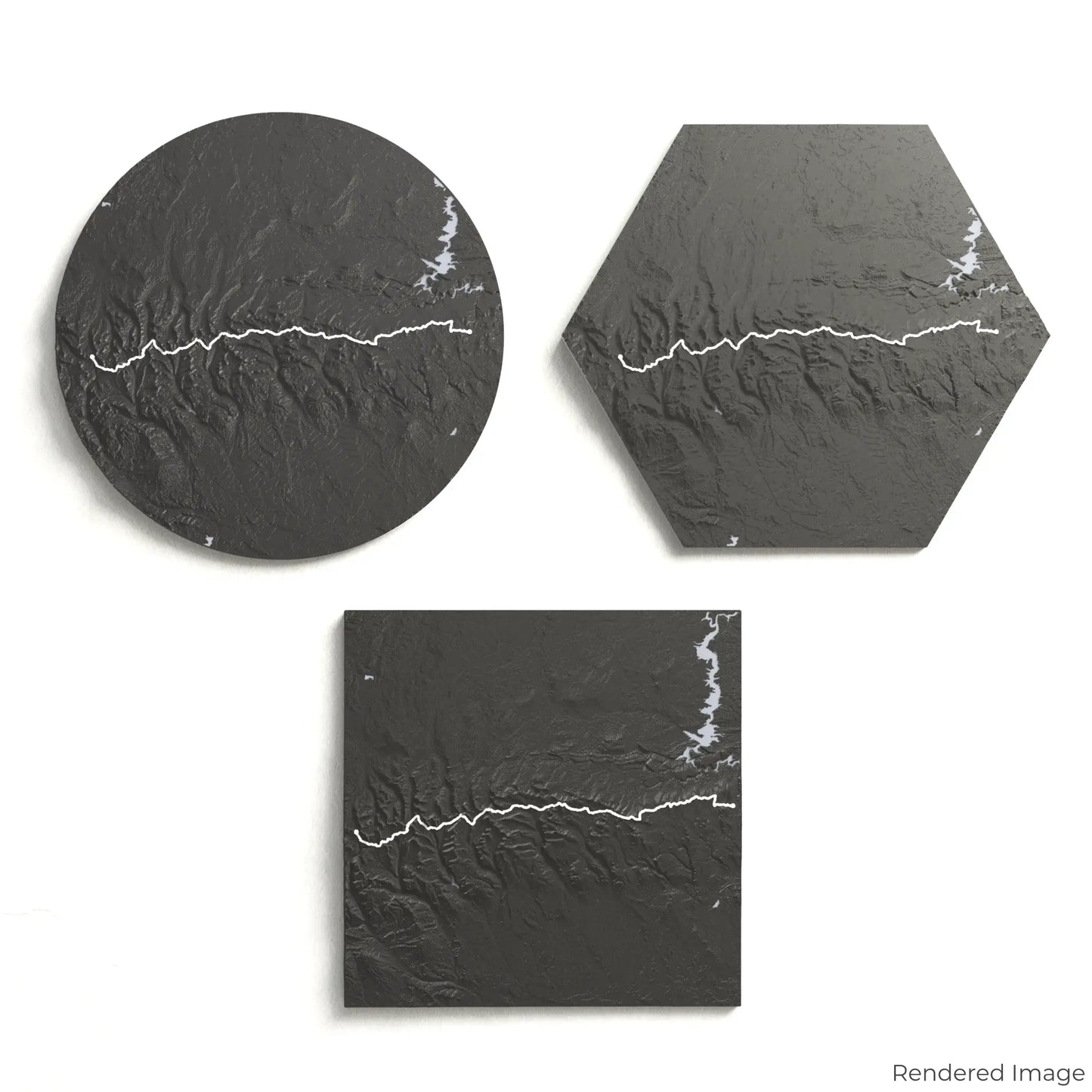
Choose from four striking colour themes and three unique shapes to create a stunning centrepiece for your wall or table. This handcrafted map is the perfect way to commemorate your journey along the Uinta Highline Trail or as a meaningful gift for fellow adventurers.
Find the Perfect Size and Shape
Circle: 222 x 222 x 23 mm (8.7 x 8.7 x 0.9 inches)
Hexagon: 242 x 212 x 23 mm (9.6 x 8.3 x 0.9 inches)
Square: 198 x 198 x 23 mm (7.8 x 7.8 x 0.9 inches)
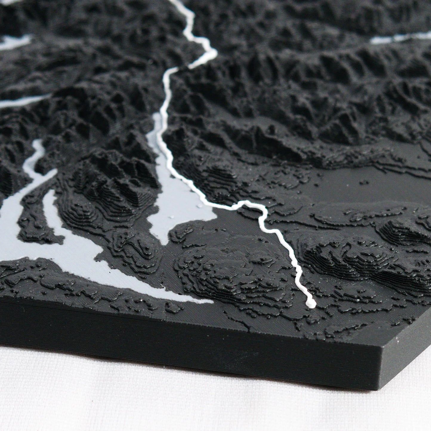
Crafted for Detail and Durability
Our maps are meticulously designed using advanced colour 3D printing technology and PLA, a durable and plant-based plastic.
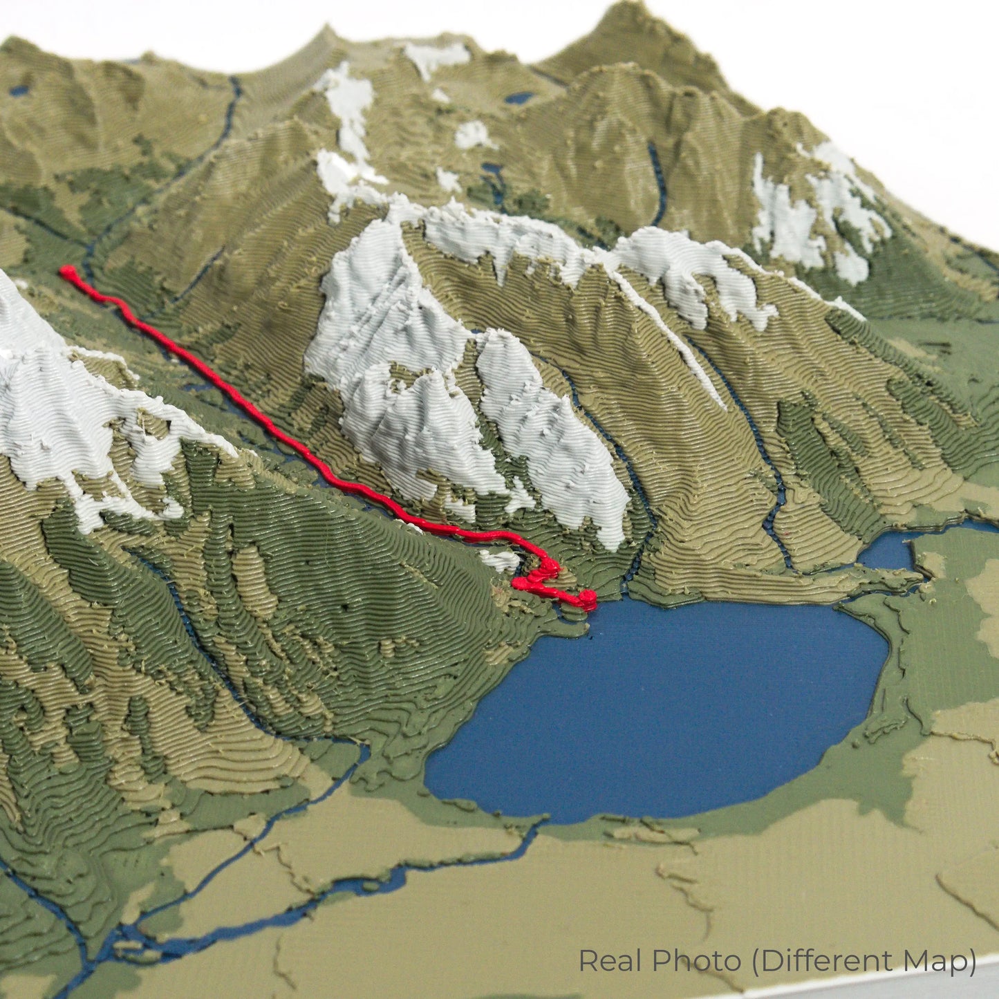
Please Note: Some product photos are digitally rendered for illustrative purposes and are labelled as "Rendered Image" for clarity. The actual product may show slight variations and natural imperfections due to the 3D printing process and material properties.
Bring the Uinta Mountains Home
Celebrate your love for high-altitude adventure with this one-of-a-kind keepsake. Whether you're reminiscing about past treks or planning your next backcountry expedition, this 3D map is a tribute to the wild beauty of the Uinta Highline Trail.
Order now and let us create a memento as unforgettable as your journey!
Data Sources
Our maps are created using high-precision topographic data from the following sources:
OpenStreetMap: openstreetmap.org/copyright
Copernicus WorldDEM-30: Produced using Copernicus WorldDEM-30 © DLR e.V. 2010-2014 and © Airbus Defence and Space GmbH 2014-2018, provided under COPERNICUS by the European Union and ESA; all rights reserved.