Venture Around Mount Hood on the Timberline Trail
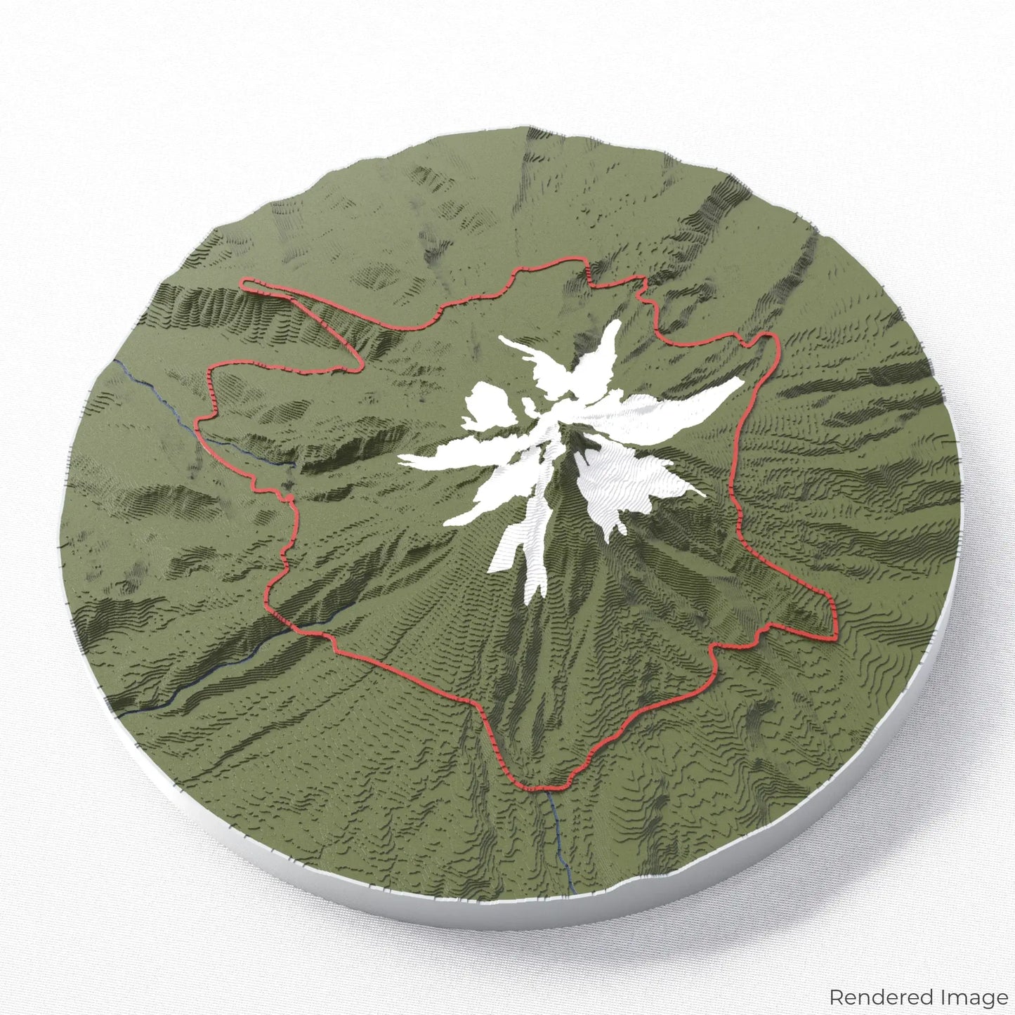
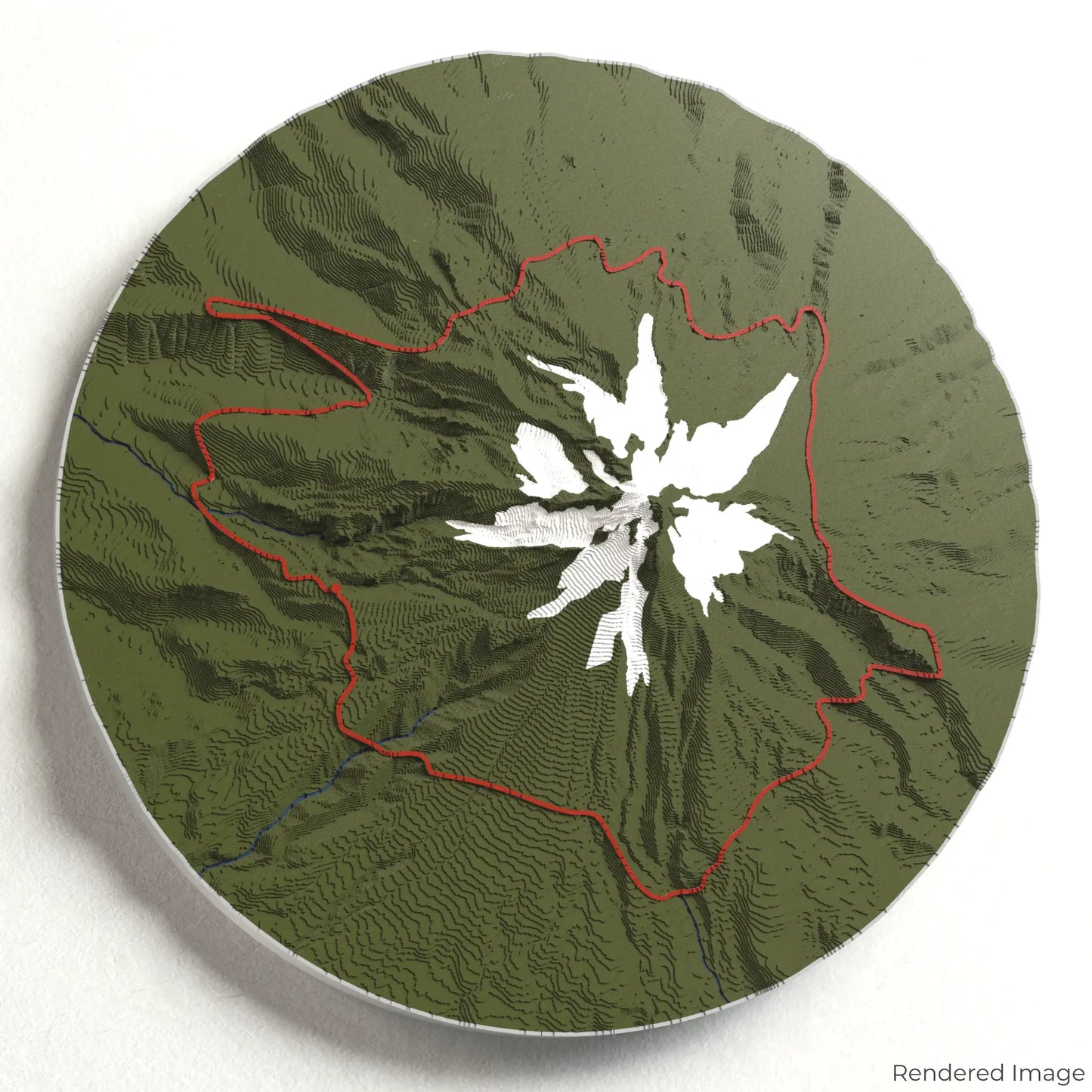
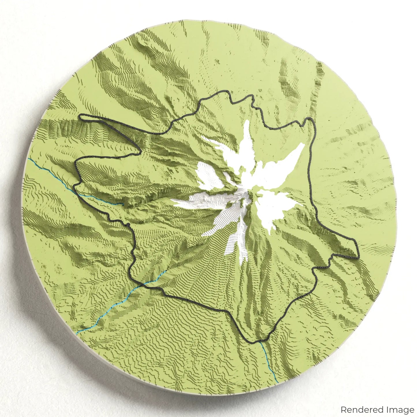
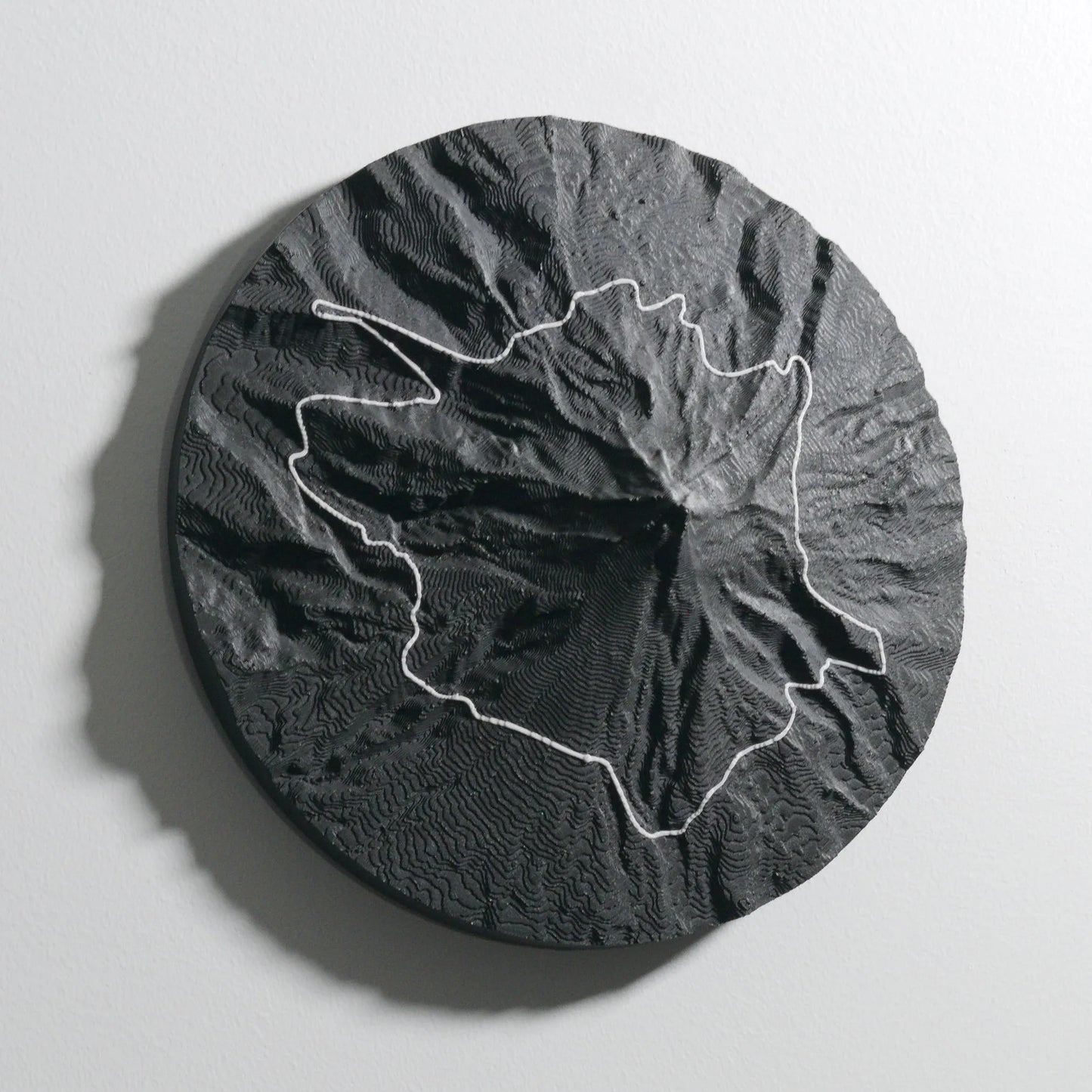
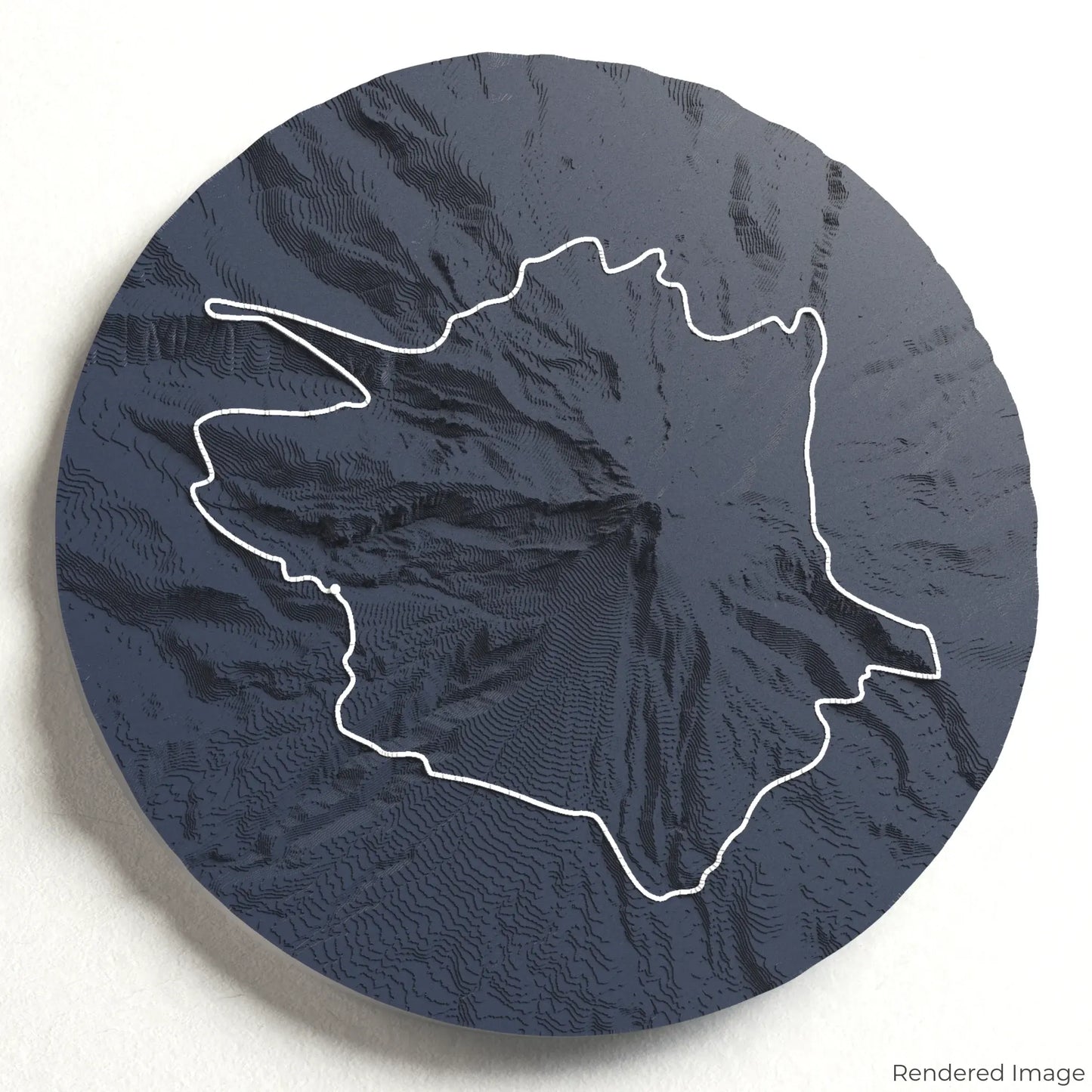
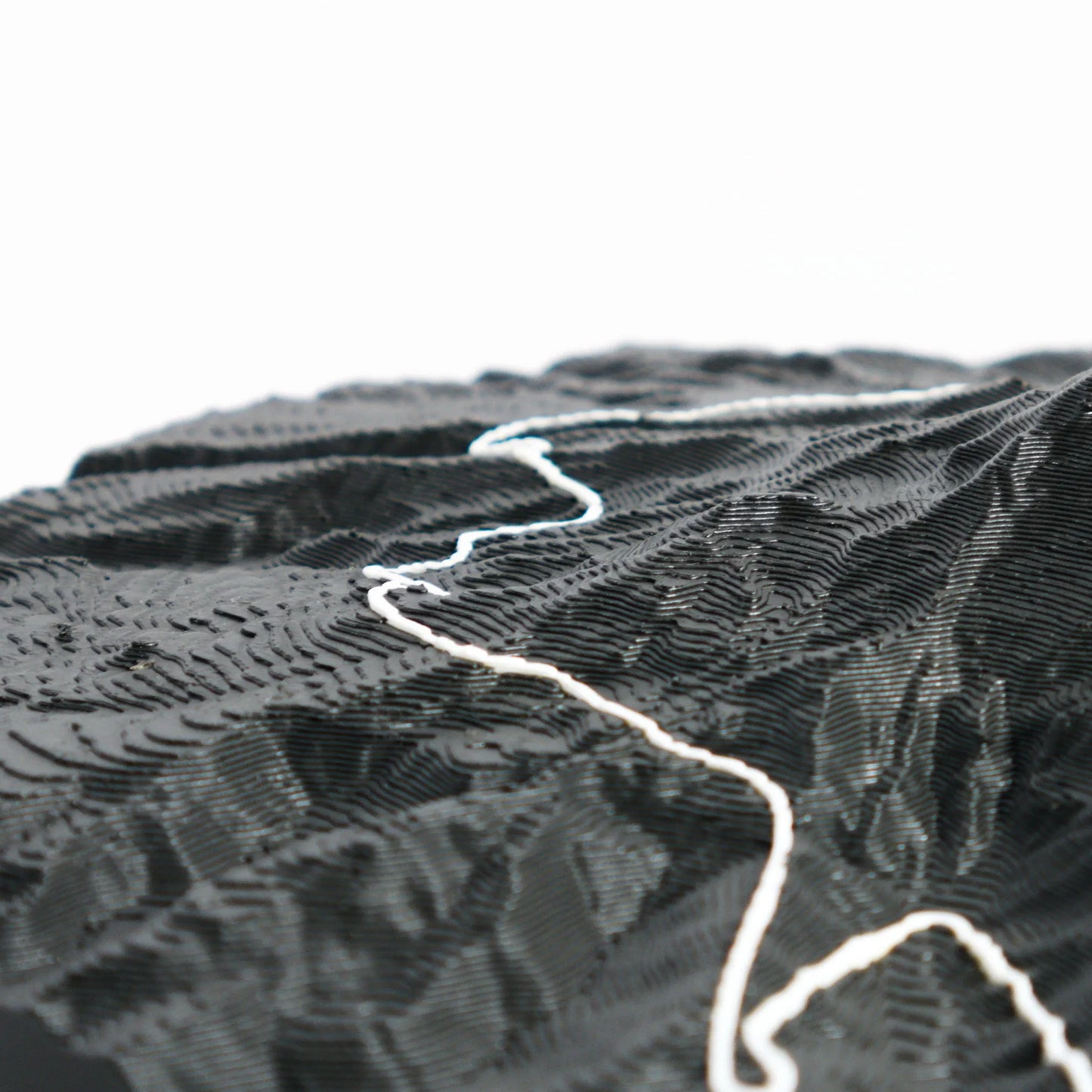
Experience the beauty of Oregon’s most iconic peak with our 3D topographic map of the Timberline Trail. This stunning loop encircles Mount Hood, offering breathtaking alpine views, river crossings, and wildflower meadows.
A Scenic Journey Through Cascadian Wilderness
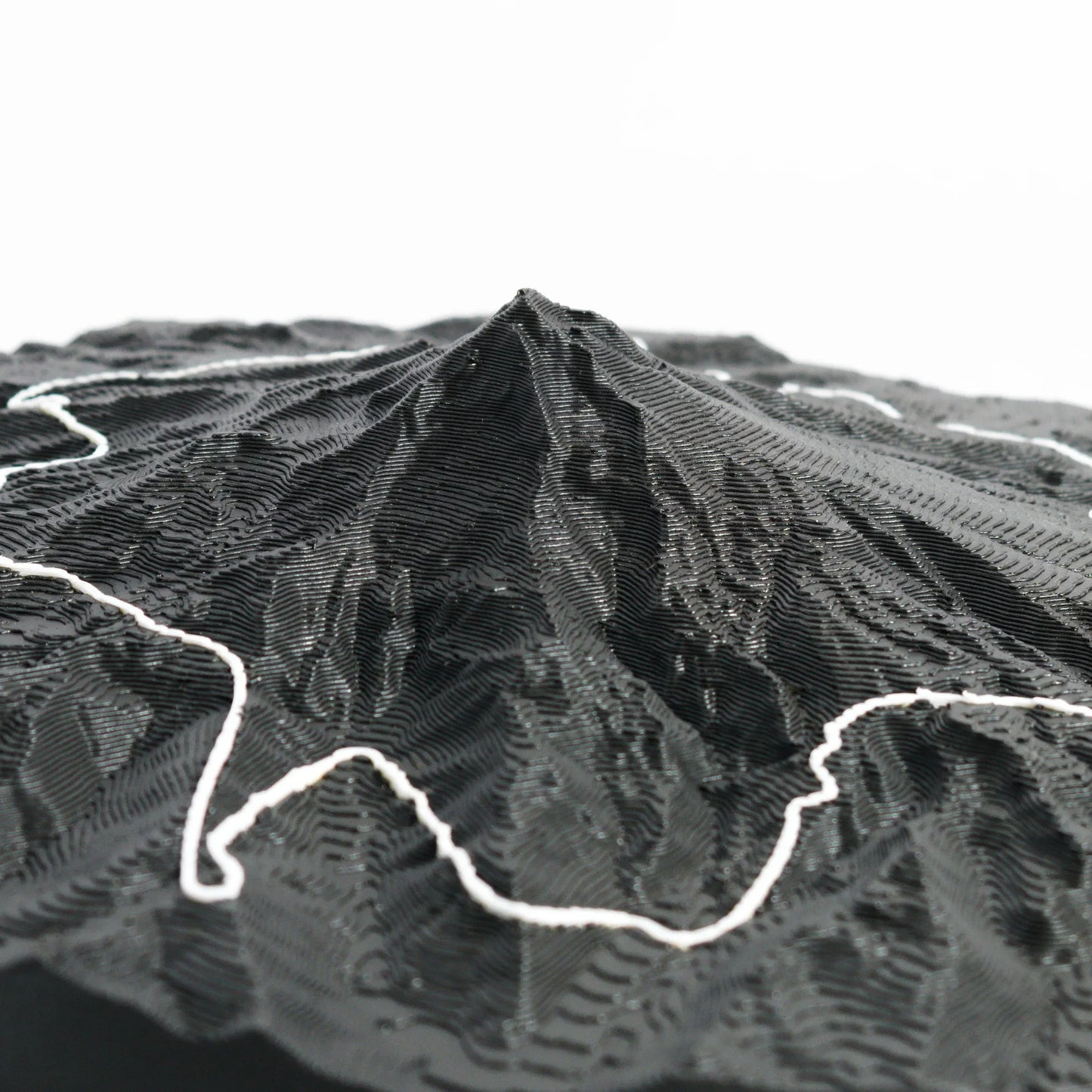
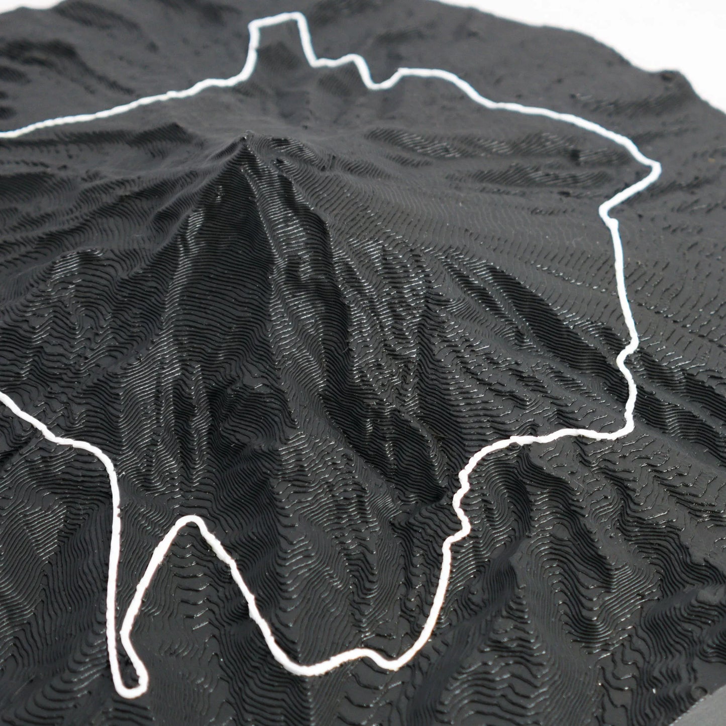
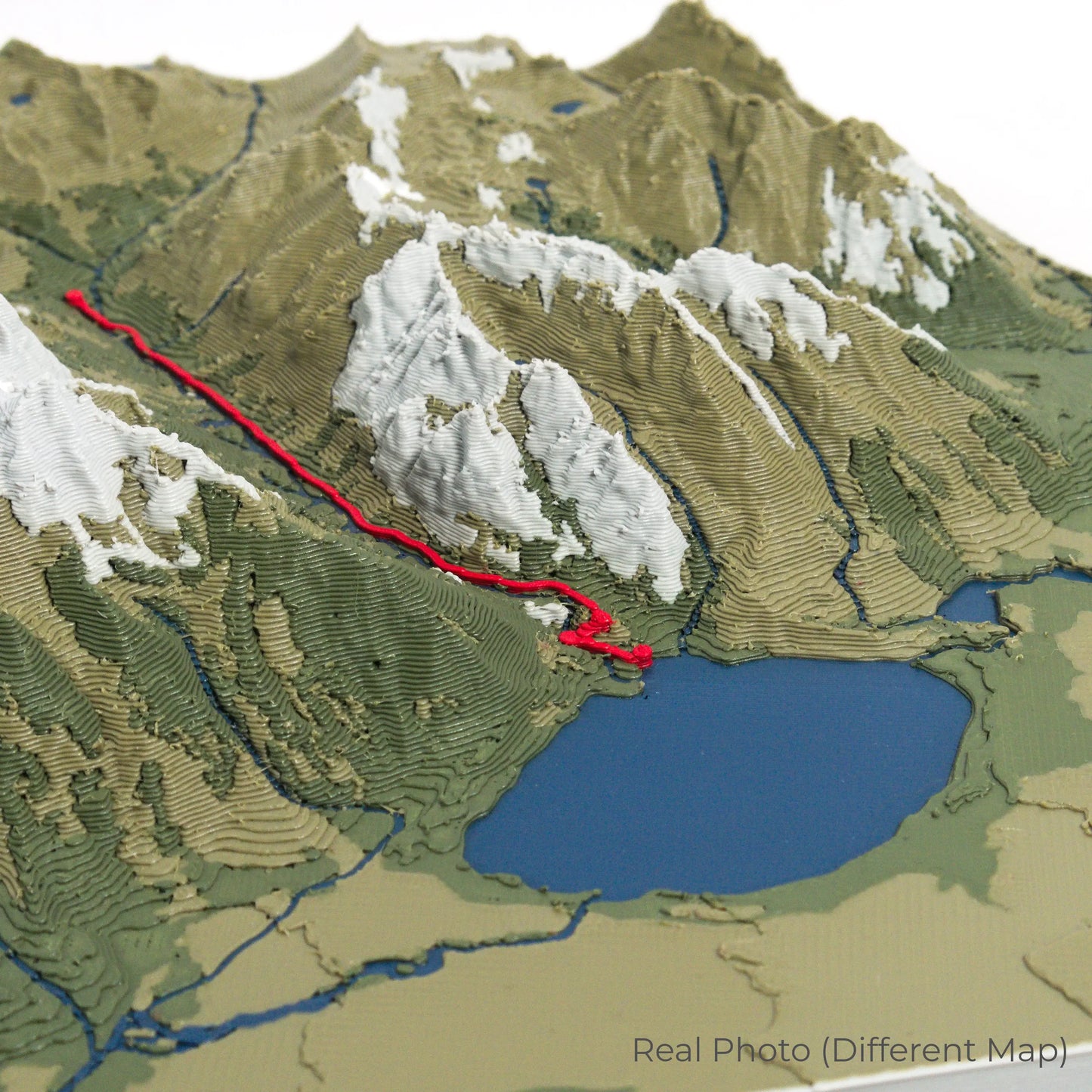
The Timberline Trail spans approximately 65 kilometres (40 miles), winding through lush forests, rugged ridgelines, and glacial valleys. Highlights include the dramatic Eliot Glacier, the deep canyon of the Muddy Fork, and panoramic views from the Paradise Park area. Whether you’ve completed this iconic trek or aspire to do so, our handcrafted map captures the essence of the Timberline Trail.
Commemorate Your Journey with a Unique Keepsake
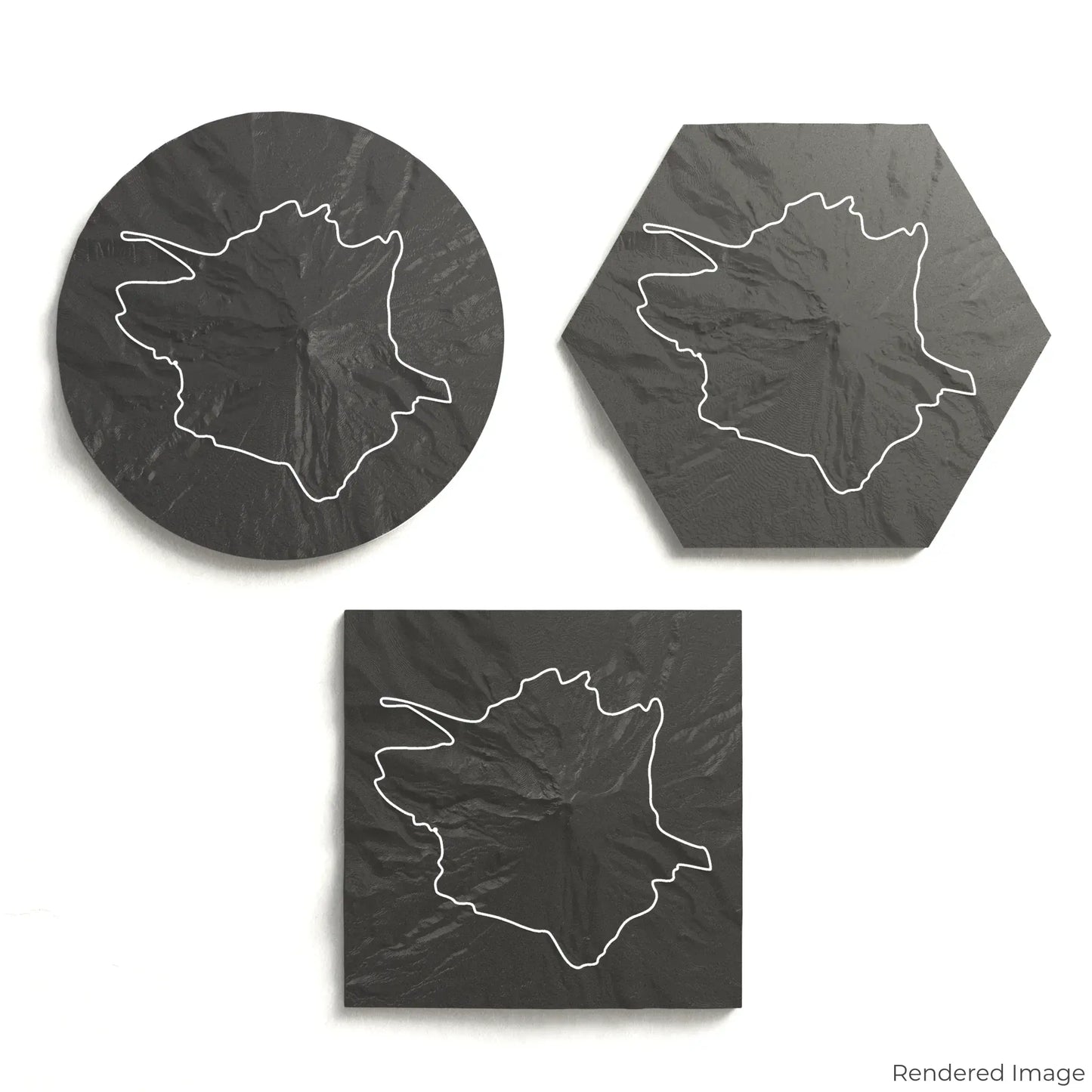
Select from four striking colour themes and three unique shapes to create a stunning centrepiece for your wall or table. This handcrafted map is the perfect way to celebrate your Timberline Trail experience or as a meaningful gift for fellow hikers and mountaineers.
Choose the Perfect Size and Shape
Circle: 222 x 222 x 43mm (8.7 x 8.7 x 1.7 inches)
Hexagon: 242 x 212 x 44mm (9.5 x 8.3 x 1.7 inches)
Square: 198 x 198 x 44mm (7.8 x 7.8 x 1.7 inches)
Crafted with Precision and Detail
Our maps are meticulously designed using advanced colour 3D printing technology and PLA, a durable and plant-based plastic.
Please Note: Some product photos are digitally rendered for illustrative purposes and are labelled as "Rendered Image" for clarity. The actual product may show slight variations and natural imperfections due to the 3D printing process and material properties.
Take Mount Hood’s Beauty Home
Celebrate your love for Oregon’s backcountry with this one-of-a-kind keepsake. Whether you're reminiscing about past treks or planning your next adventure, this 3D map is a tribute to the breathtaking landscapes of the Timberline Trail.
Order now and let us create a memento as unforgettable as your journey!
Data Sources
Our maps are created using high-precision topographic data from the following sources:
OpenStreetMap: openstreetmap.org/copyright
Copernicus WorldDEM-30: Produced using Copernicus WorldDEM-30 © DLR e.V. 2010-2014 and © Airbus Defence and Space GmbH 2014-2018, provided under COPERNICUS by the European Union and ESA; all rights reserved.