Experience the Teton Crest Trail
Explore one of the most scenic backcountry routes in the United States with our 3D topographic map of the Teton Crest Trail. This breathtaking trek offers sweeping alpine views, glacial valleys, and stunning ridgelines.
A Trail Through the Heart of the Tetons
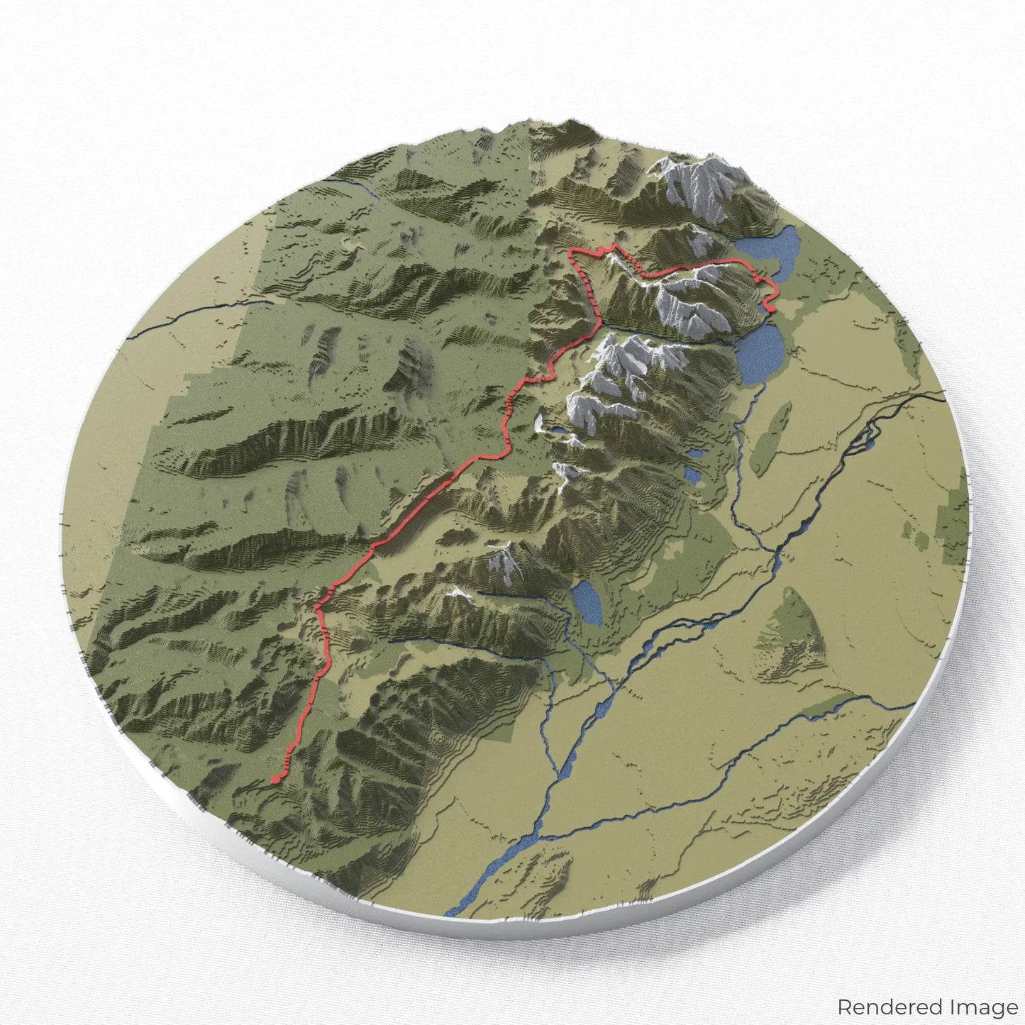
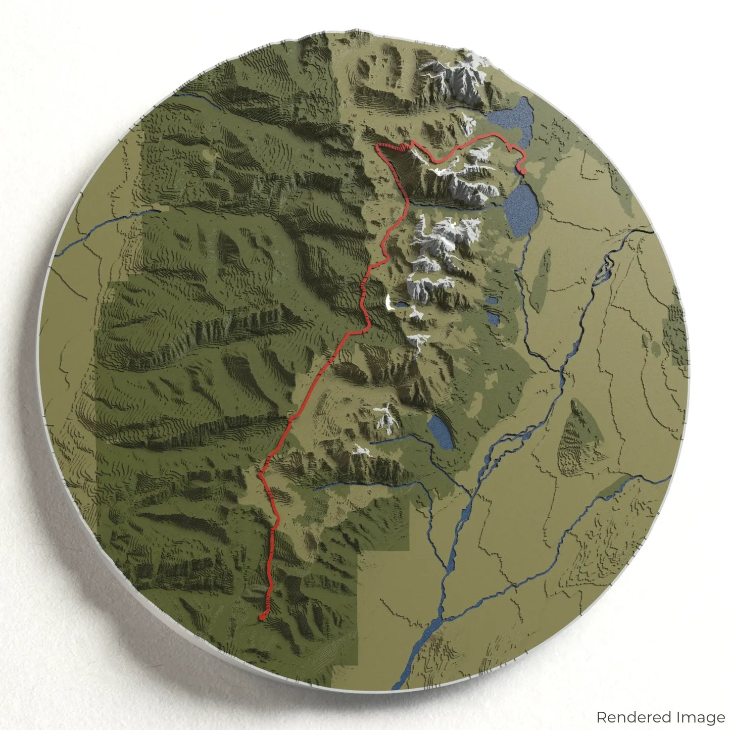
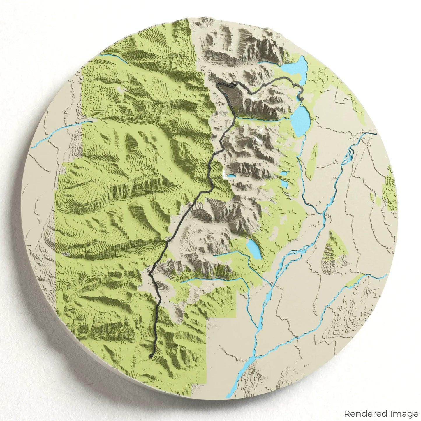
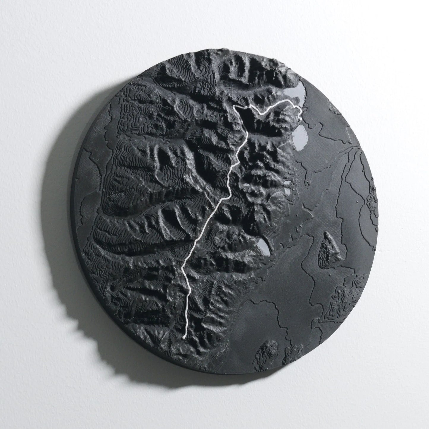
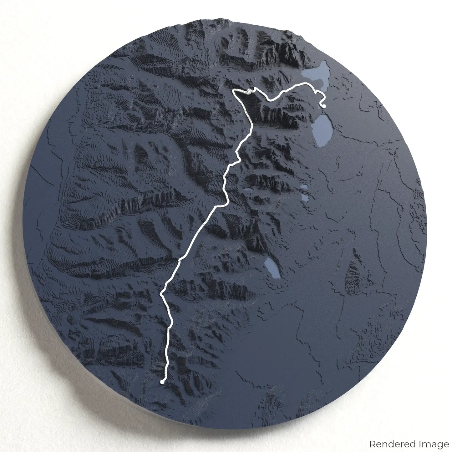
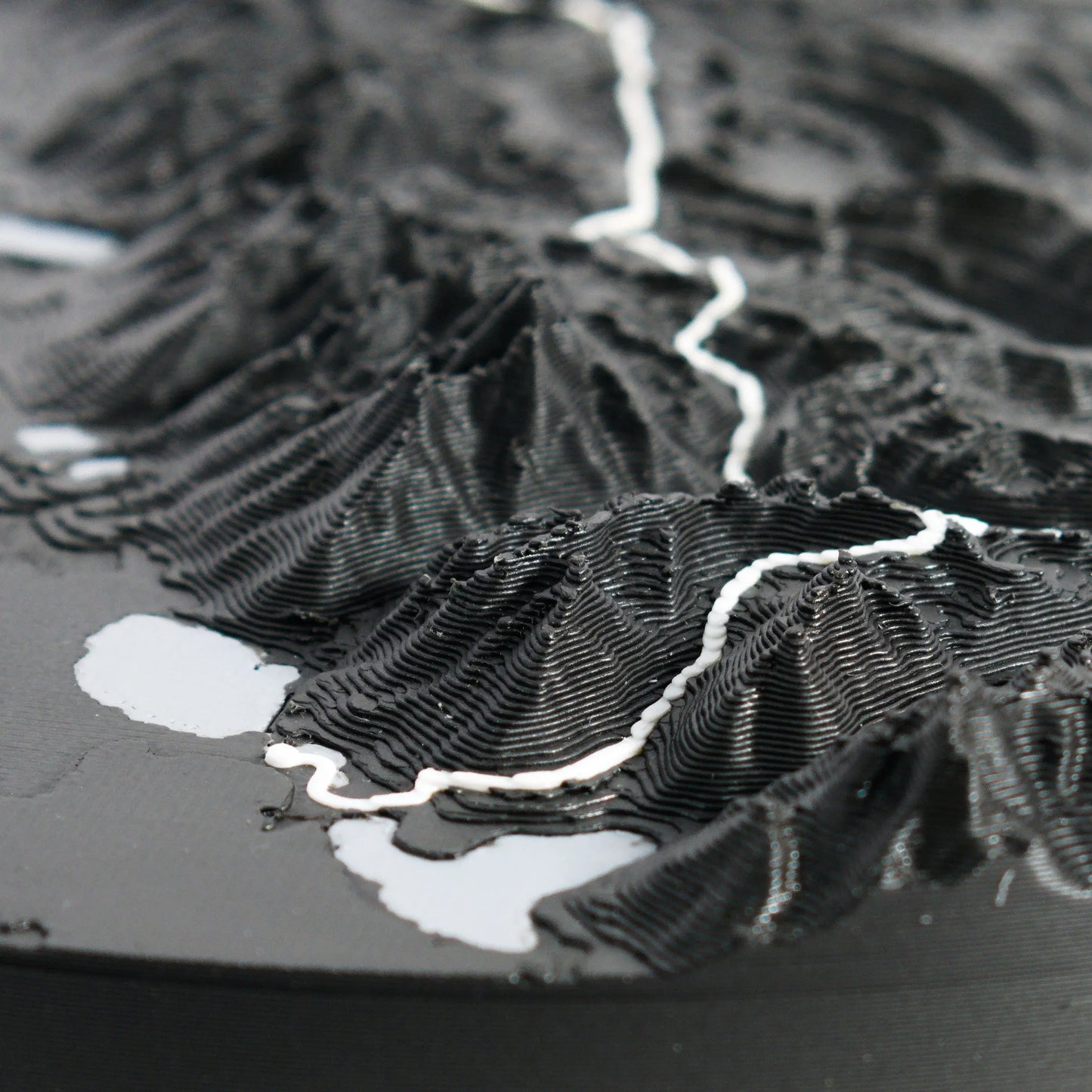
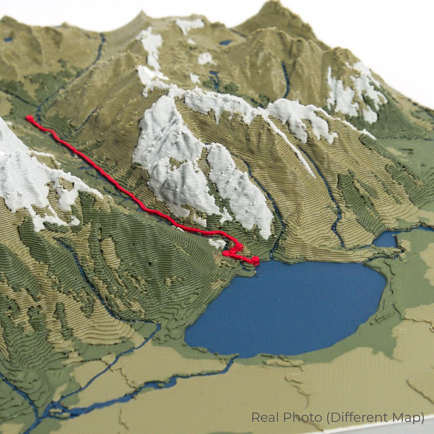
The Teton Crest Trail spans approximately 64 kilometres (40 miles), leading hikers through Grand Teton National Park. With highlights including Hurricane Pass, Death Canyon Shelf, and the breathtaking views of the Cathedral Group, this hike is a bucket-list adventure. Whether you've completed this unforgettable route or dream of tackling it, our handcrafted map captures the essence of the Teton Crest Trail.
Design Your Custom Trail Keepsake
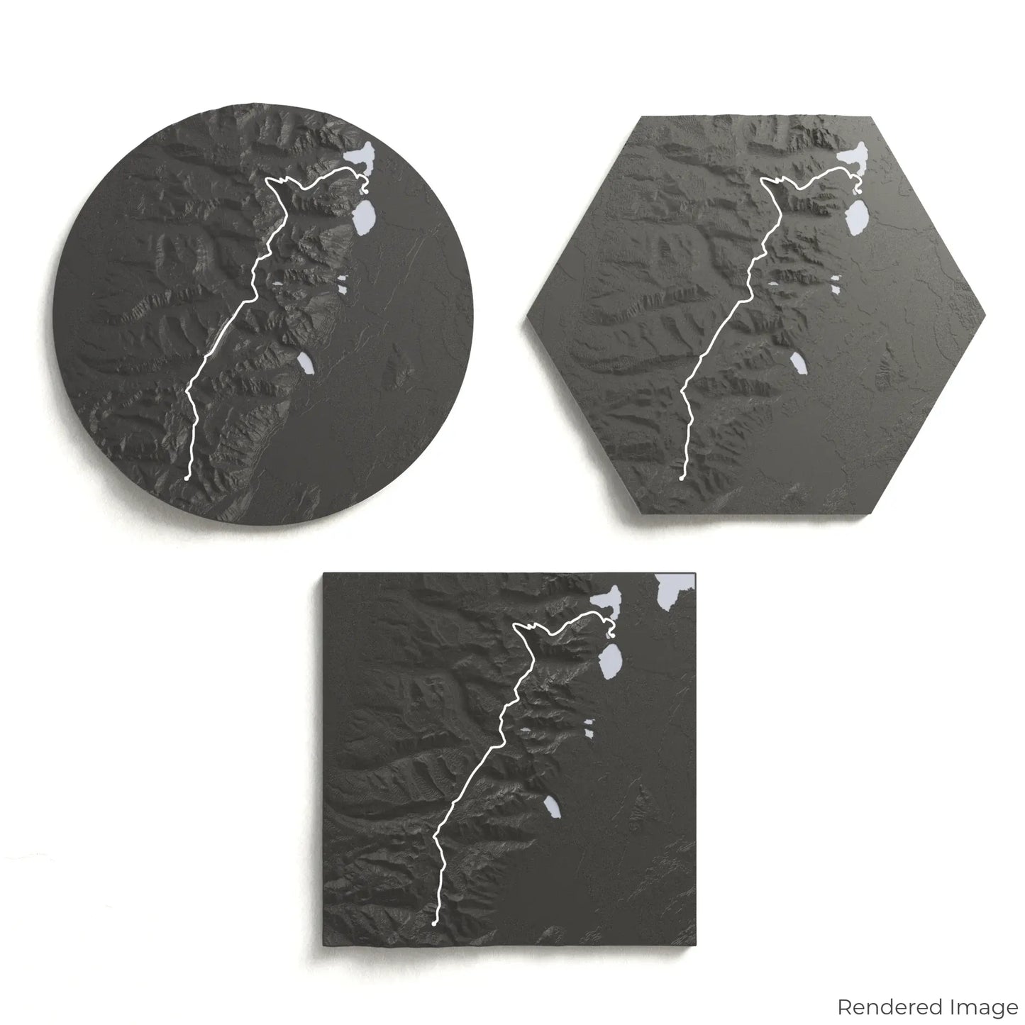
Choose from four striking colour themes and three unique shapes to create a stunning centrepiece for your wall or table. This handcrafted map is the perfect way to commemorate your Teton Crest Trail adventure or as a thoughtful gift for fellow outdoor enthusiasts.
Pick the Perfect Size and Shape
Circle: 222 x 222 x 25mm (8.7 x 8.7 x 1 inches)
Hexagon: 242 x 212 x 25mm (9.5 x 8.3 x 1 inches)
Square: 198 x 198 x 25mm (7.8 x 7.8 x 1 inches)
Crafted with Precision and Detail
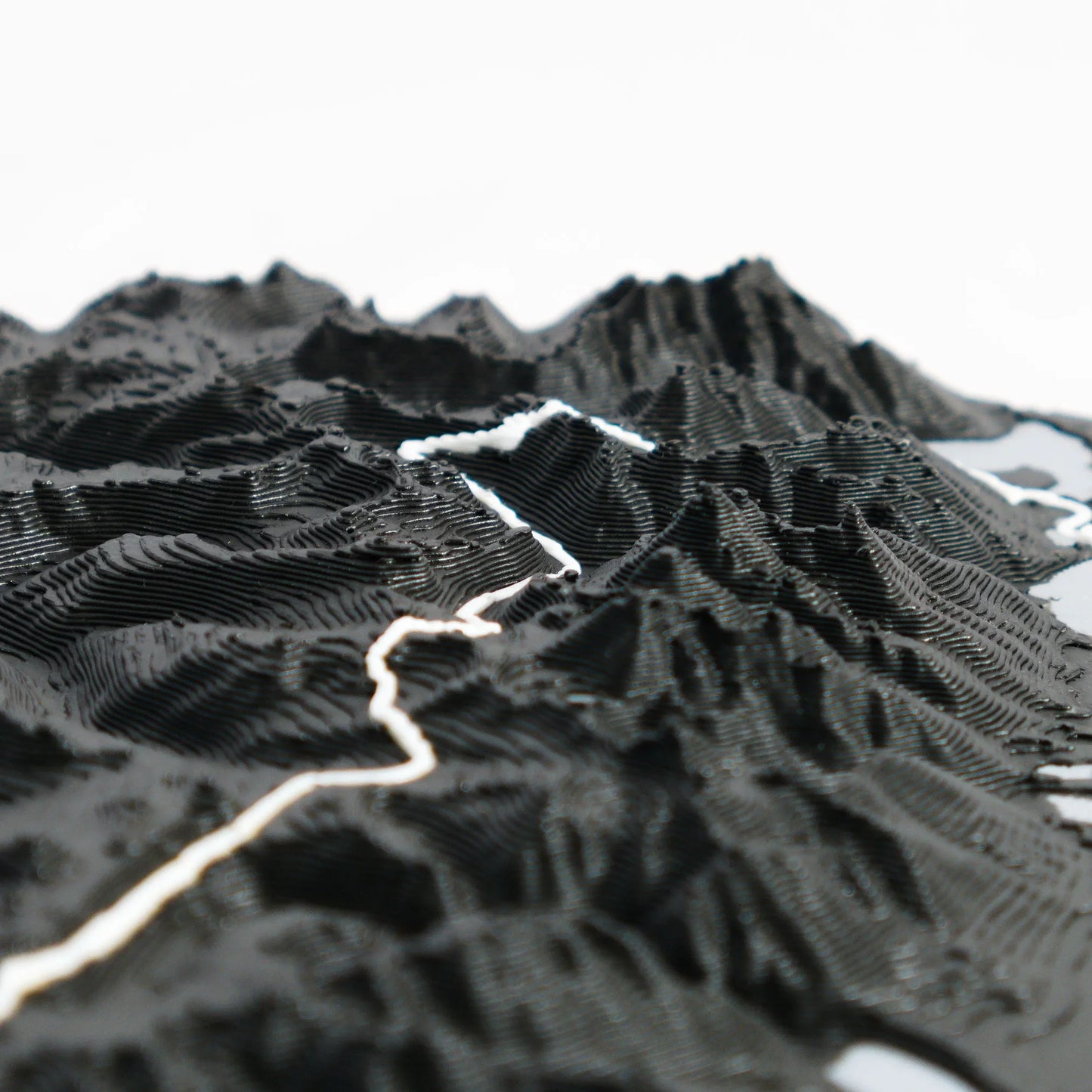
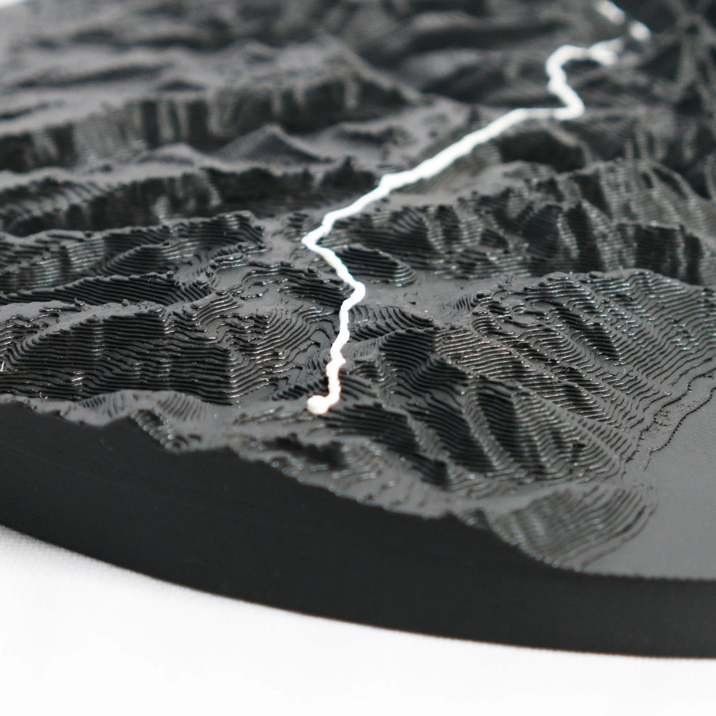
Our maps are meticulously designed using advanced colour 3D printing technology and PLA, a durable and plant-based plastic.
Please Note: Some product photos are digitally rendered for illustrative purposes and are labelled as "Rendered Image" for clarity. The actual product may show slight variations and natural imperfections due to the 3D printing process and material properties.
Take the Tetons Home
Celebrate your love for the rugged beauty of Grand Teton National Park with this one-of-a-kind keepsake. Whether you're reminiscing about past treks or planning your next journey, this 3D map is a tribute to the awe-inspiring landscapes of the Teton Crest Trail.
Order now and let us create a memento as unforgettable as your adventure!
Data Sources
Our maps are created using high-precision topographic data from the following sources:
OpenStreetMap: openstreetmap.org/copyright
Copernicus WorldDEM-30: Produced using Copernicus WorldDEM-30 © DLR e.V. 2010-2014 and © Airbus Defence and Space GmbH 2014-2018, provided under COPERNICUS by the European Union and ESA; all rights reserved.