Mapped3D 3D Printed Maps Auckland, New Zealand
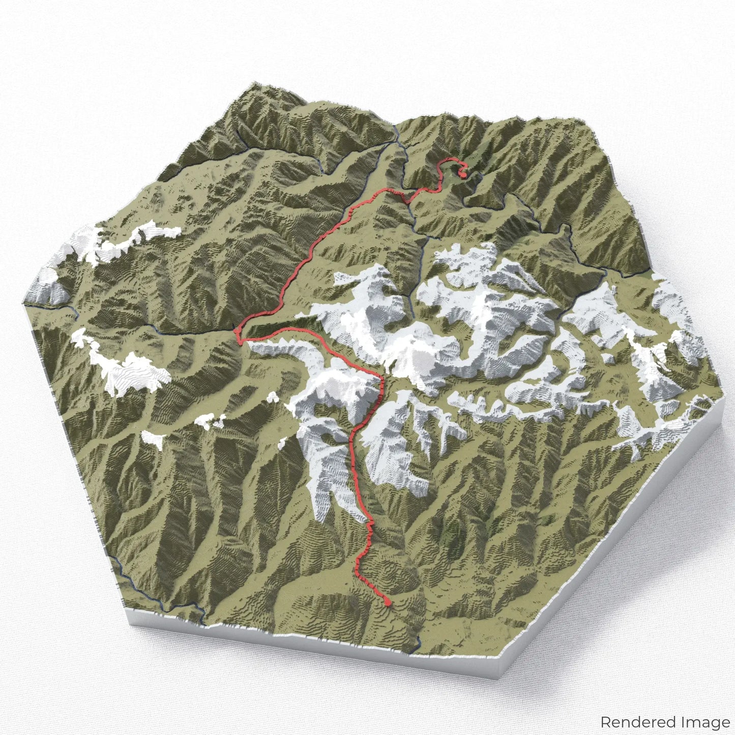
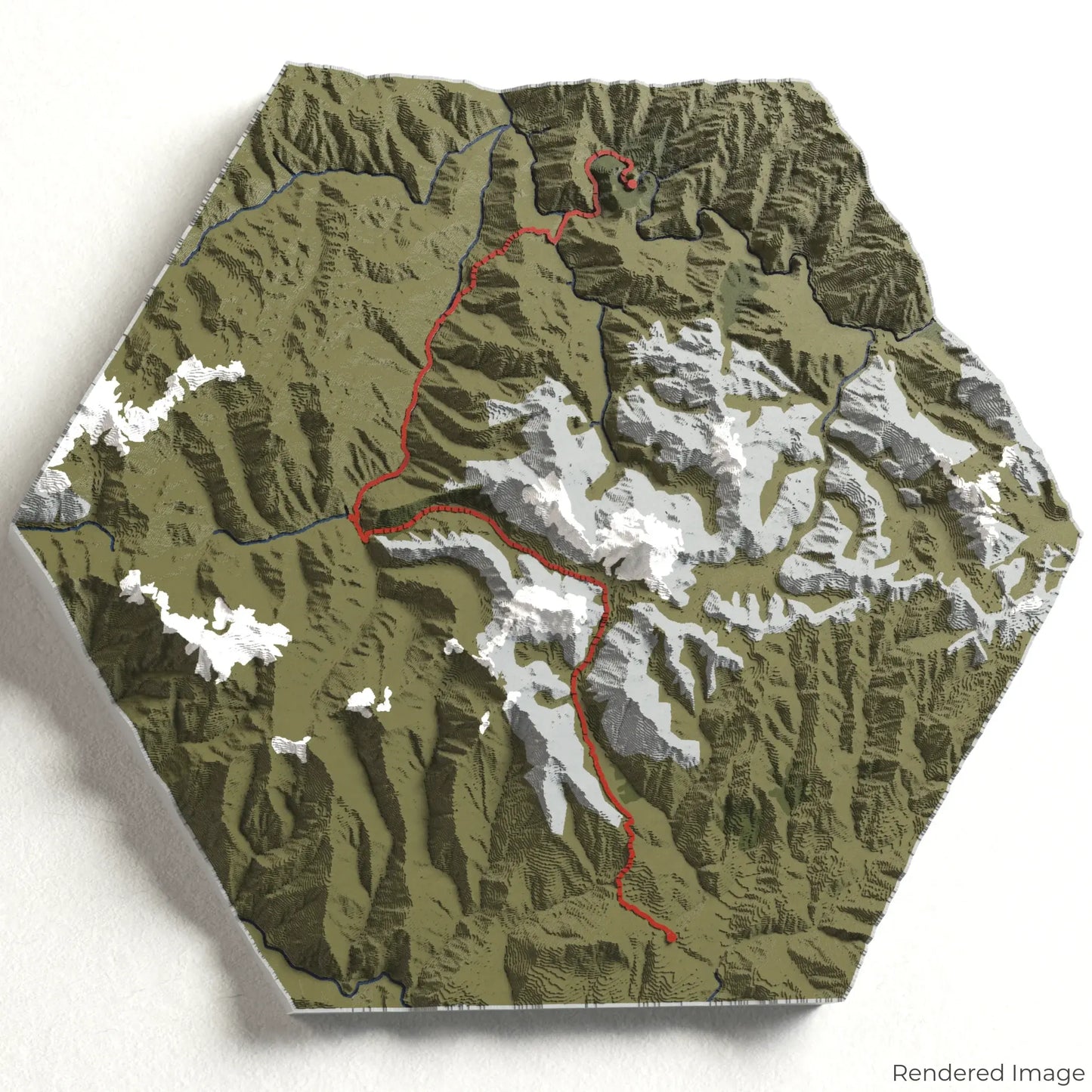
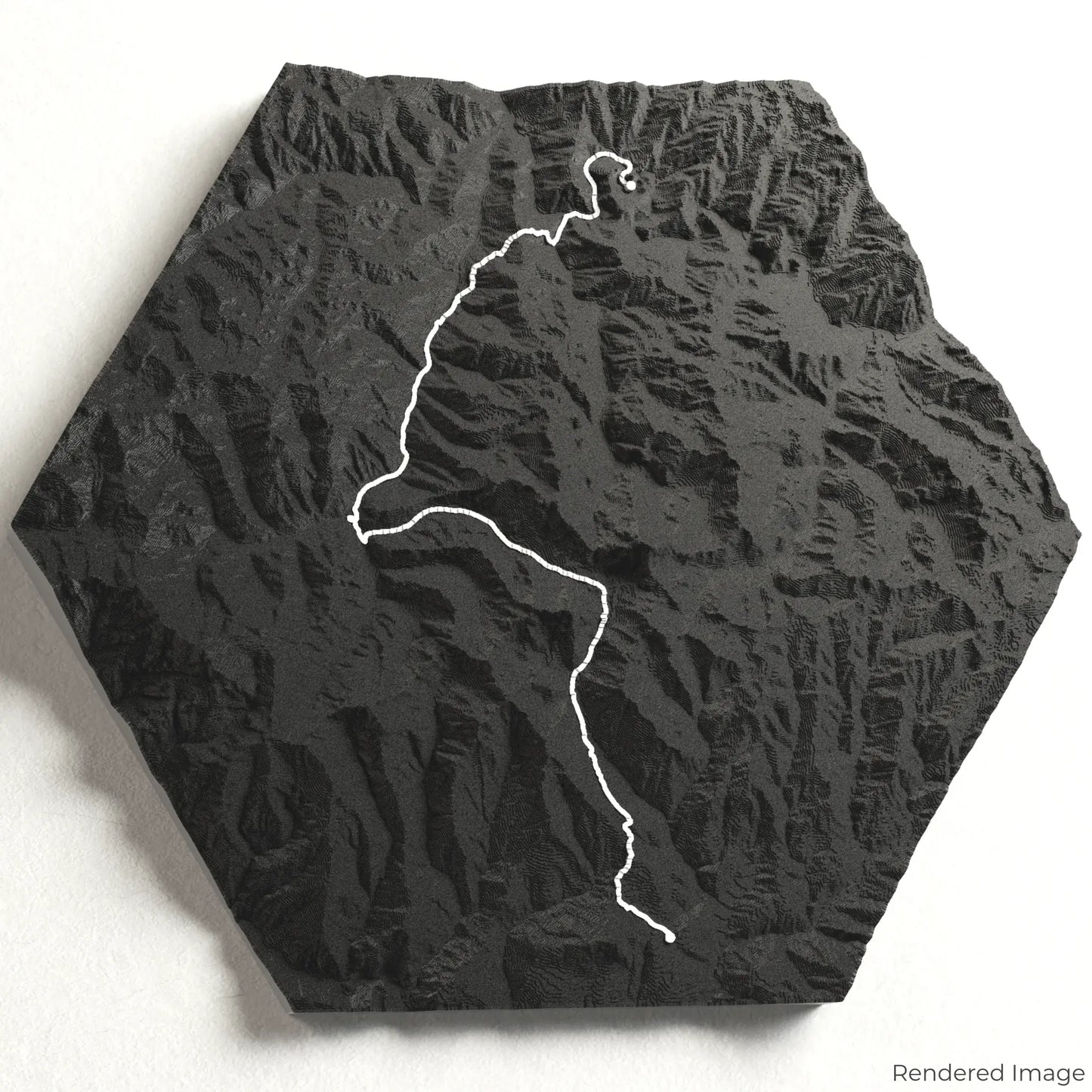
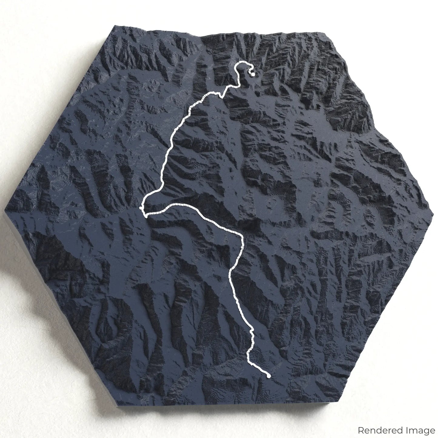
Salkantay Trek 3D Map
Salkantay Trek 3D Map
ORDERS NOT SHIPPED TILL SEPTEMBER!!!
Couldn't load pickup availability
Embark on the Salkantay Trek
Experience the breathtaking beauty of the Peruvian Andes with our 3D topographic map of the Salkantay Trek. This alternative route to Machu Picchu offers dramatic mountain scenery, diverse ecosystems, and a journey through ancient Incan landscapes.
A Trail of Contrasts and Wonders
The Salkantay Trek spans approximately 72 kilometres (45 miles), guiding hikers through towering snow-capped peaks, misty cloud forests, and remote high-altitude passes. Along the way, trekkers will witness the majestic Salkantay Mountain, Humantay Lake, and the transition from alpine terrain to lush jungle paths. Whether you've conquered this trek or dream of the adventure, our handcrafted map captures the essence of the Salkantay Trek.
Your Mountain Keepsake
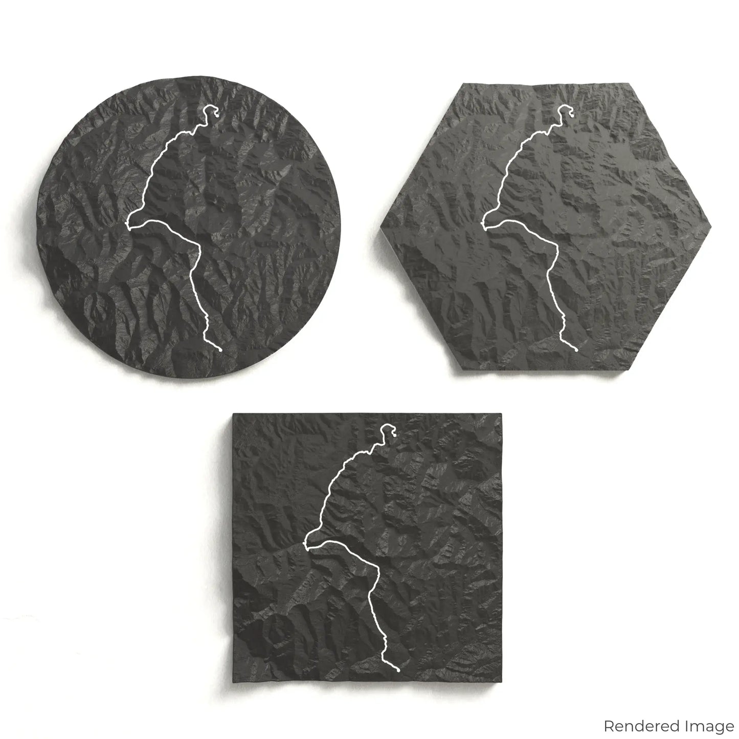
Choose from four striking colour themes and three unique shapes to create an eye-catching centrepiece for your wall or table. This handcrafted map is the perfect way to commemorate your journey along the Salkantay Trek or as a thoughtful gift for fellow explorers.
Find the Perfect Fit for Your Space
Circle: 222 x 222 x 33 mm (8.7 x 8.7 x 1.3 inches)
Hexagon: 242 x 212 x 33 mm (9.6 x 8.3 x 1.3 inches)
Square: 198 x 198 x 33 mm (7.8 x 7.8 x 1.3 inches)
Crafted with Precision and Detail
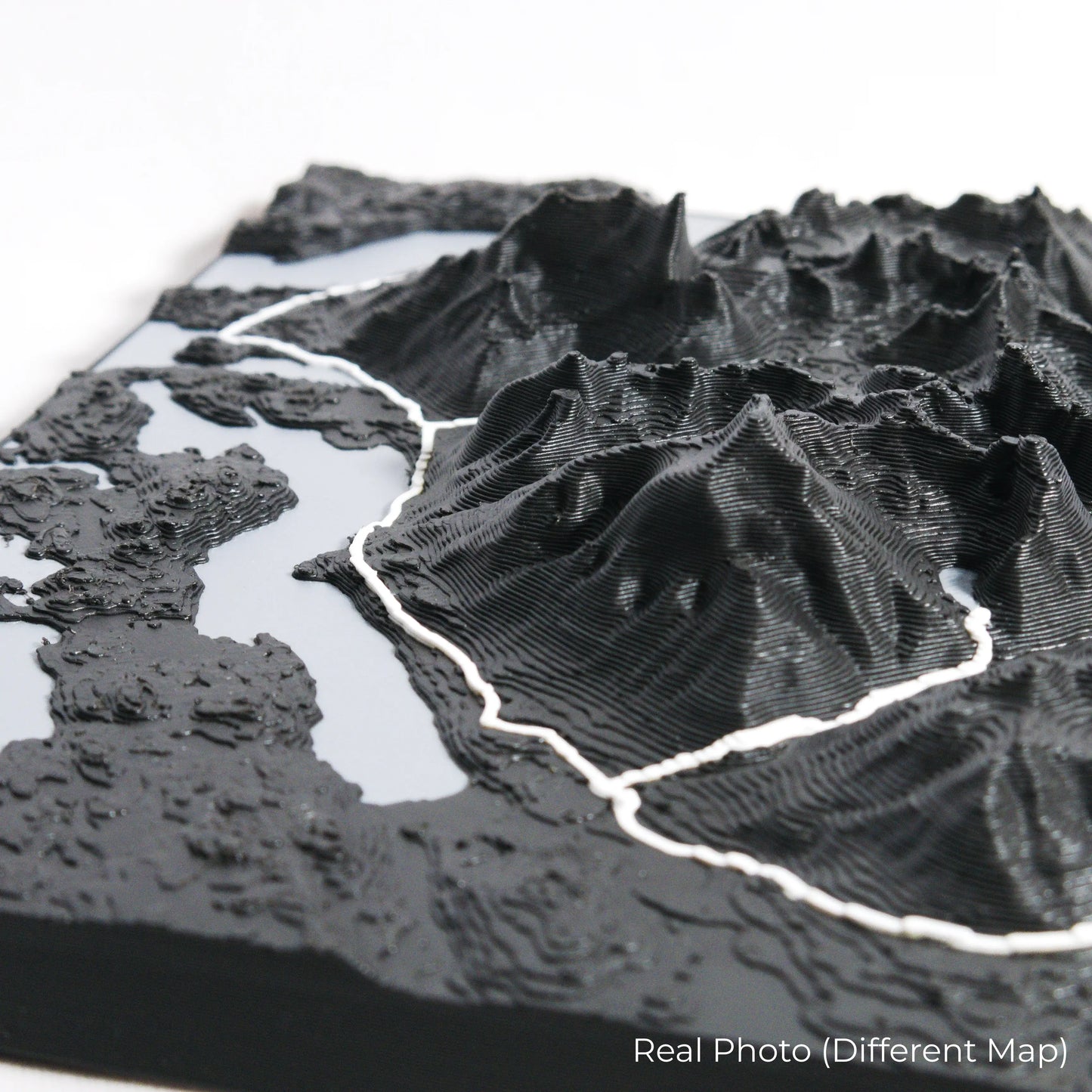
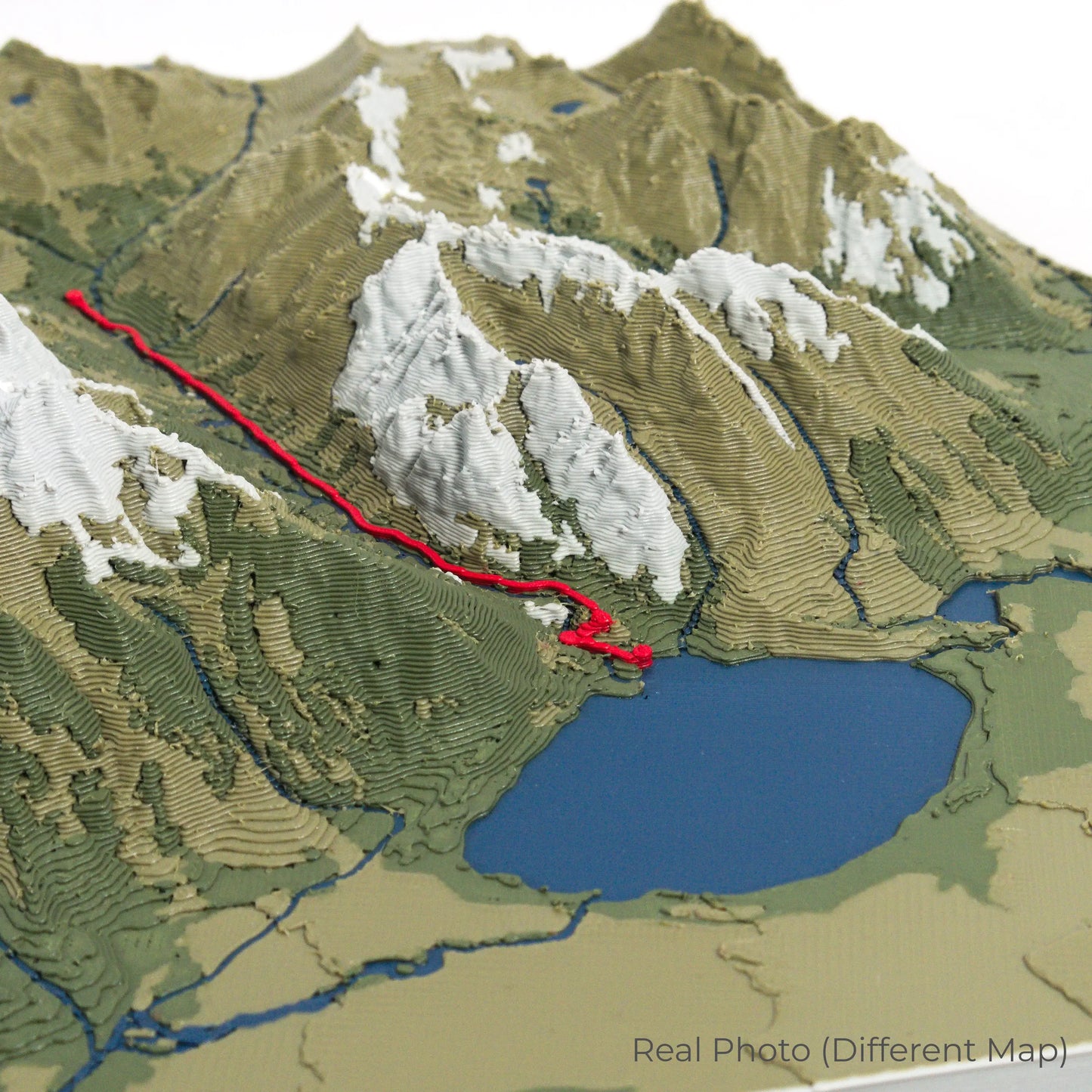
Our maps are meticulously crafted using advanced colour 3D printing technology and PLA, a durable and plant-based plastic.
Please Note: Some product photos are digitally rendered for illustrative purposes and are labelled as "Rendered Image" for clarity. The actual product may show slight variations and natural imperfections due to the 3D printing process and material properties.
Bring the Andes Home
Celebrate your love for Peru’s breathtaking landscapes with this one-of-a-kind keepsake. Whether you're reminiscing about your journey or planning your next trek, this 3D map is a tribute to the natural beauty of the Salkantay Trek.
Order now and let us create a memento as unforgettable as your adventure!
Data Sources
Our maps are created using high-precision topographic data from the following sources:
OpenStreetMap: openstreetmap.org/copyright
Copernicus WorldDEM-30: Produced using Copernicus WorldDEM-30 © DLR e.V. 2010-2014 and © Airbus Defence and Space GmbH 2014-2018, provided under COPERNICUS by the European Union and ESA; all rights reserved.
Share