Mapped3D 3D Printed Maps Auckland, New Zealand
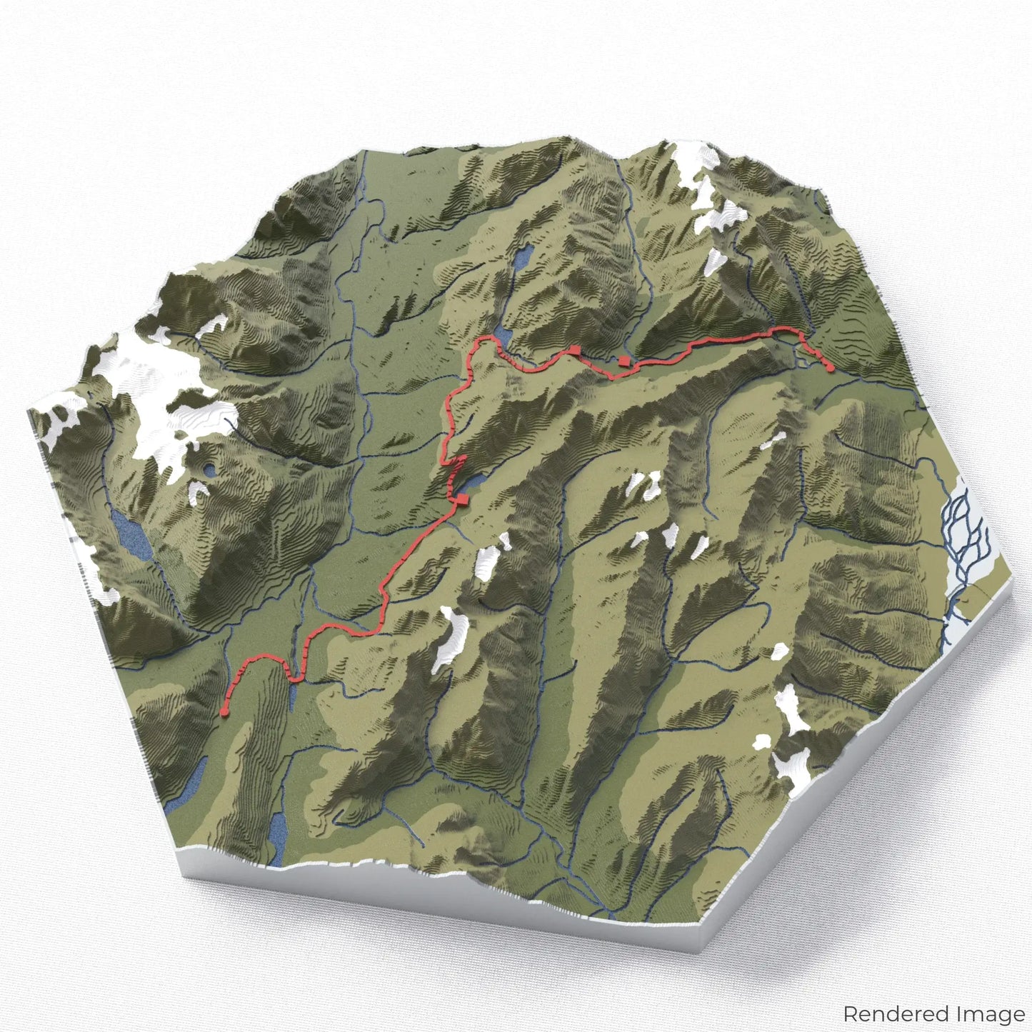
Routeburn Track Great Walk 3D Map
Routeburn Track Great Walk 3D Map
ORDERS NOT SHIPPED TILL SEPTEMBER!!!
Couldn't load pickup availability
Celebrate the Routeburn Track
Experience the breathtaking landscapes of New Zealand’s South Island with our 3D topographic map of the Routeburn Track. This world-famous Great Walk features alpine views, lush valleys, and crystal-clear rivers.
A Scenic Journey Through the Southern Alps
The Routeburn Track stretches approximately 33 kilometres (20.5 miles), winding through Fiordland and Mount Aspiring National Parks. From dense beech forests to panoramic mountain vistas, this hike showcases some of New Zealand’s most spectacular scenery. Whether you've trekked this stunning trail or dream of doing so, our handcrafted map captures the essence of the Routeburn Track.
A Unique Trail Keepsake
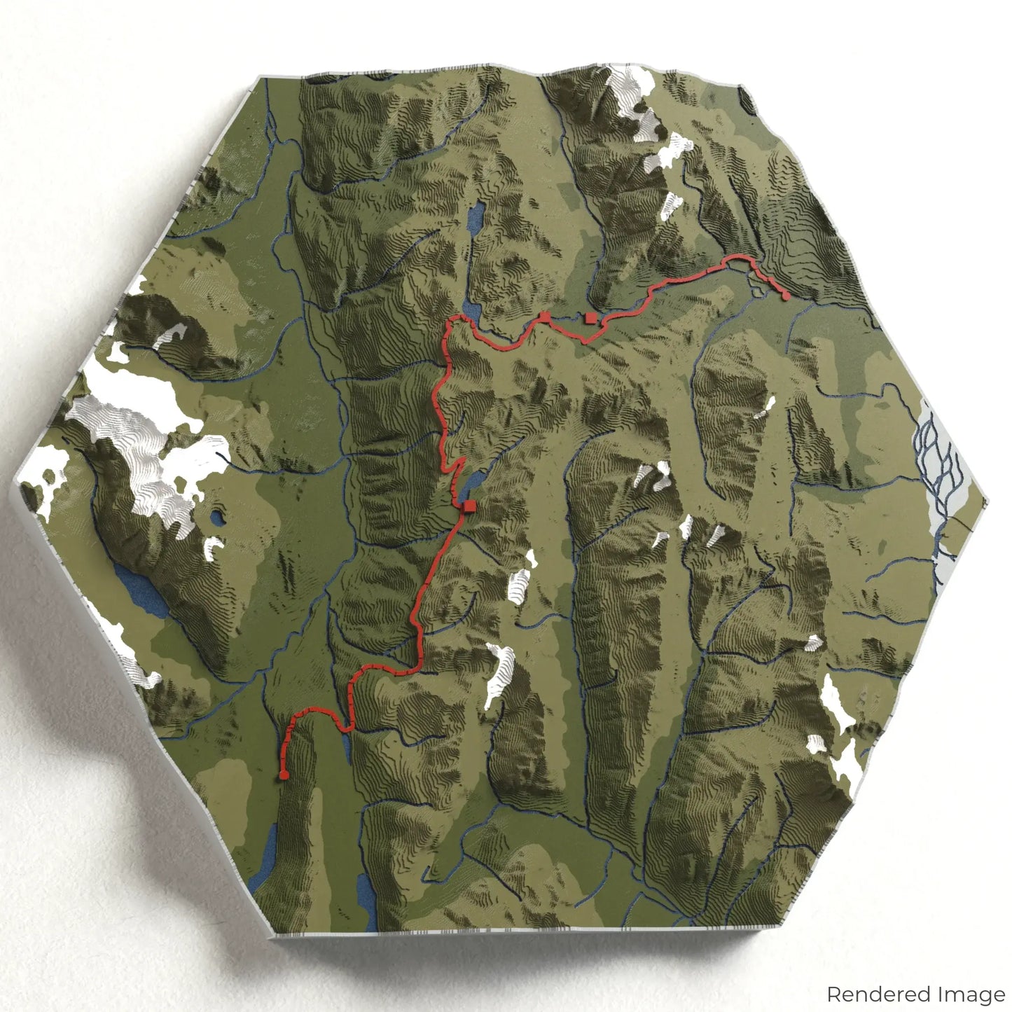
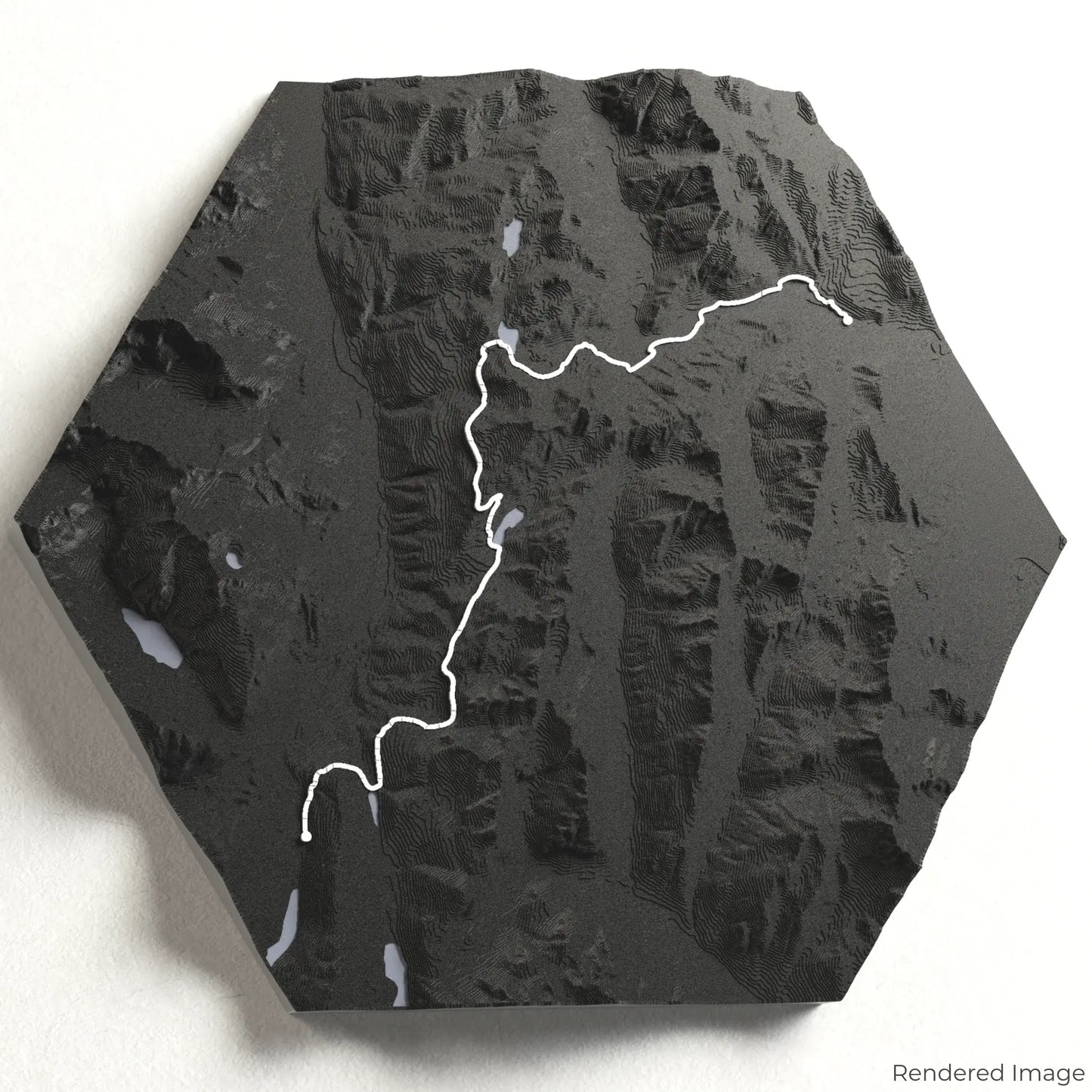
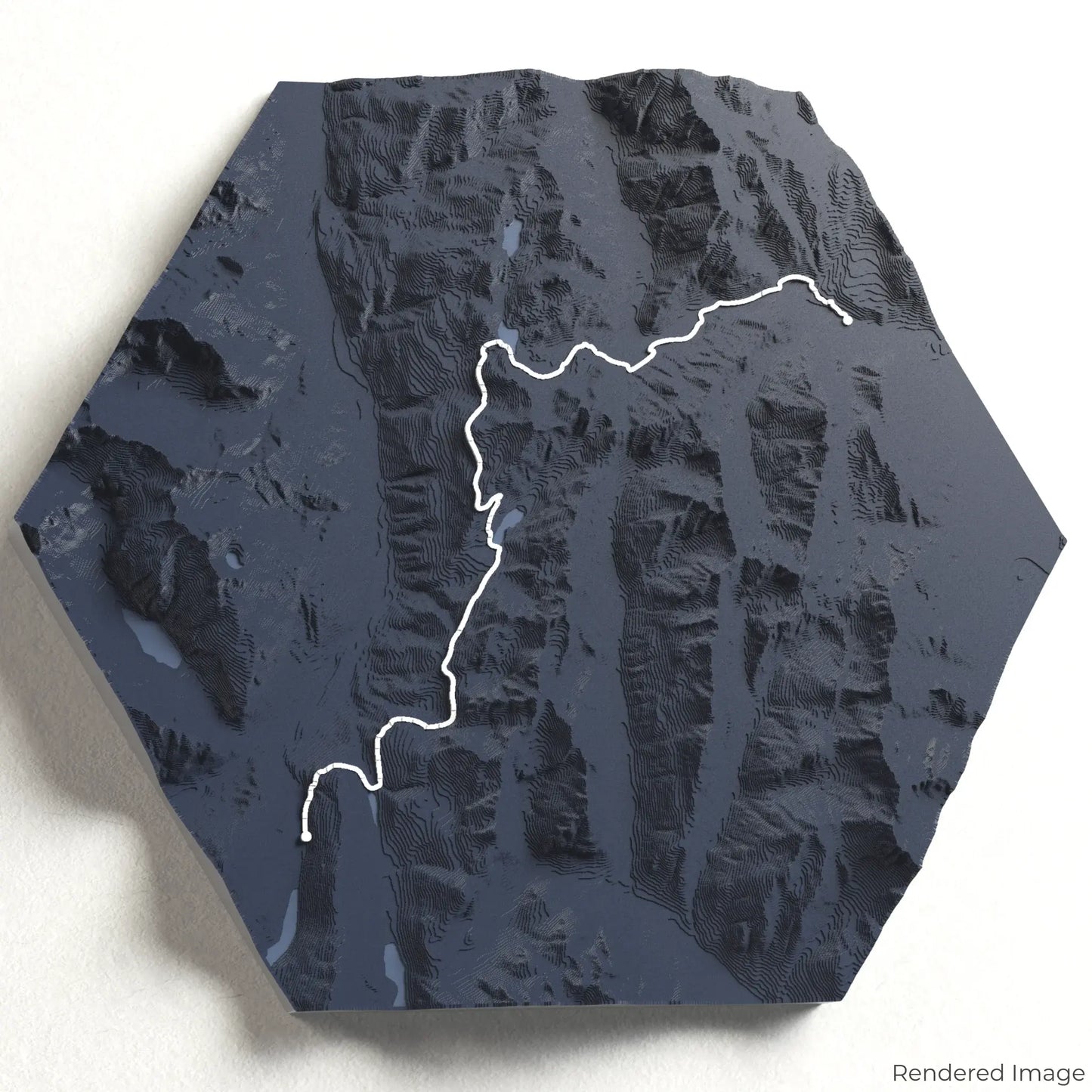
Choose from four striking colour themes and three unique shapes to create an eye-catching centrepiece for your wall or table. This handcrafted map is the perfect way to commemorate your Routeburn Track adventure or as a thoughtful gift for fellow hikers.
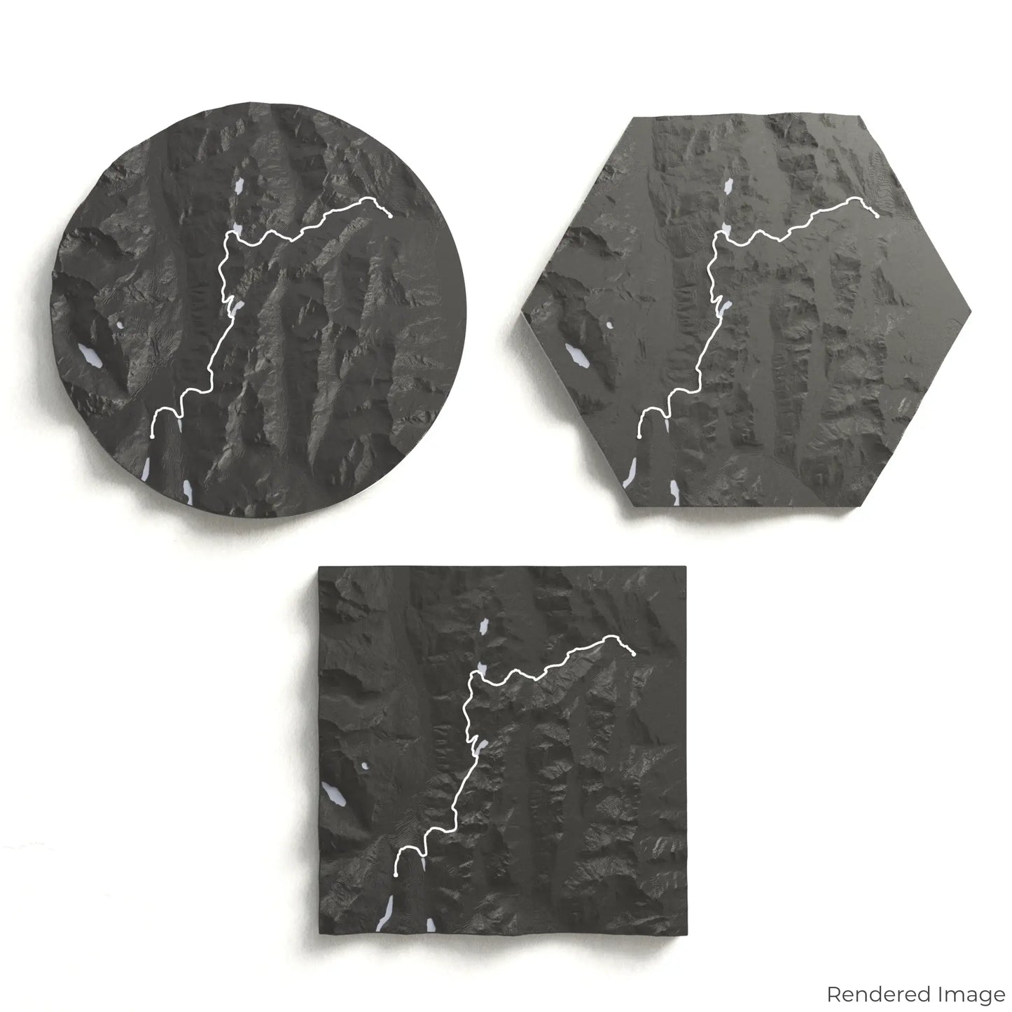
Find the Perfect Size and Shape
Circle: 222 x 222 x 28mm (8.7 x 8.7 x 1.1 inches)
Hexagon: 242 x 212 x 28mm (9.5 x 8.3 x 1.1 inches)
Square: 198 x 198 x 28mm (7.8 x 7.8 x 1.1 inches)
Crafted with Precision and Care
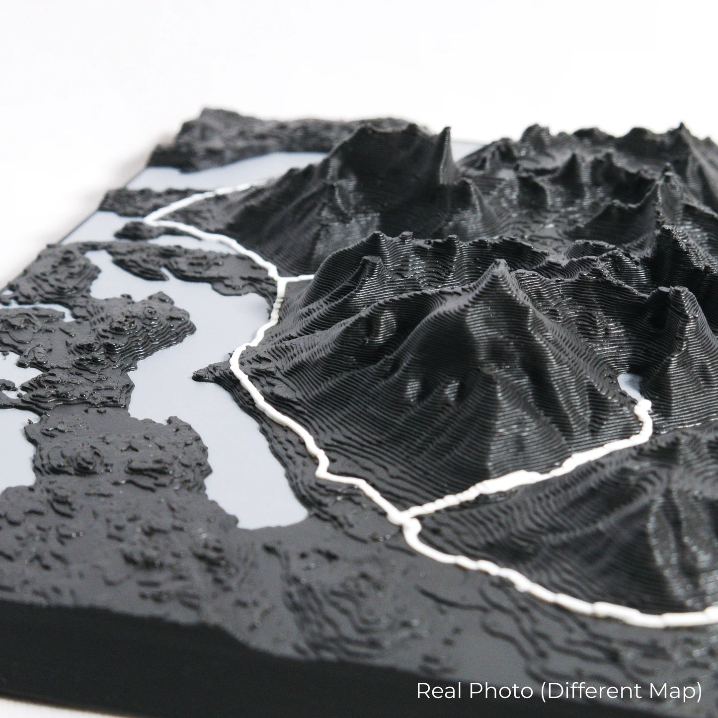
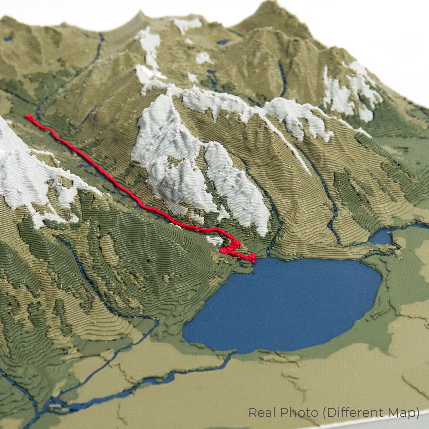
Our maps are meticulously crafted using advanced colour 3D printing technology and PLA, a durable and plant-based plastic.
Please Note: Some product photos are digitally rendered for illustrative purposes and are labelled as "Rendered Image" for clarity. The actual product may show slight variations and natural imperfections due to the 3D printing process and material properties.
Bring the Routeburn Track Home
Celebrate your love for New Zealand’s backcountry with this one-of-a-kind keepsake. Whether you're reliving cherished memories or planning your next adventure, this 3D map is a testament to the natural beauty of the Routeburn Track.
Order now and let us create a memento as unforgettable as your journey!
Data Sources
Our maps are created using high-precision topographic data from the following sources:
OpenStreetMap: openstreetmap.org/copyright
Copernicus WorldDEM-30: Produced using Copernicus WorldDEM-30 © DLR e.V. 2010-2014 and © Airbus Defence and Space GmbH 2014-2018, provided under COPERNICUS by the European Union and ESA; all rights reserved.
Share