Mapped3D 3D Printed Maps Auckland, New Zealand
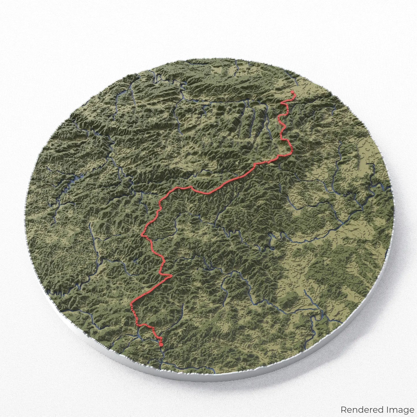
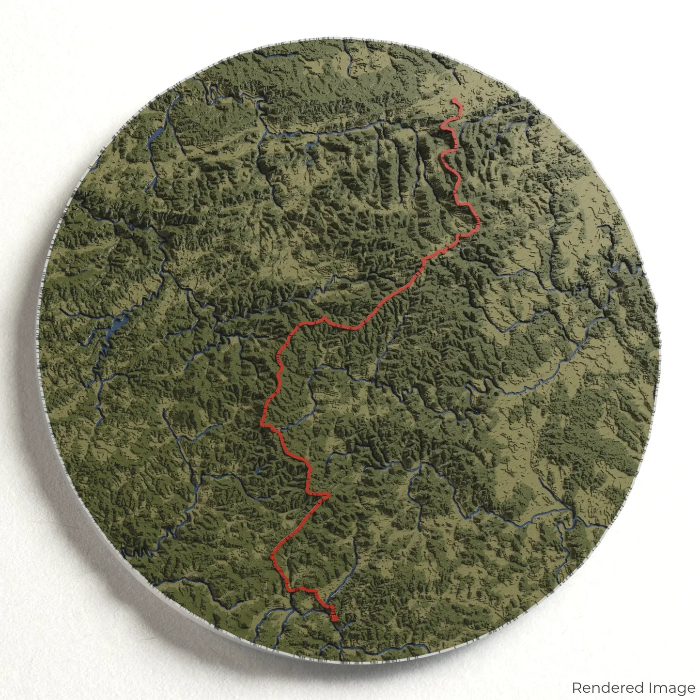
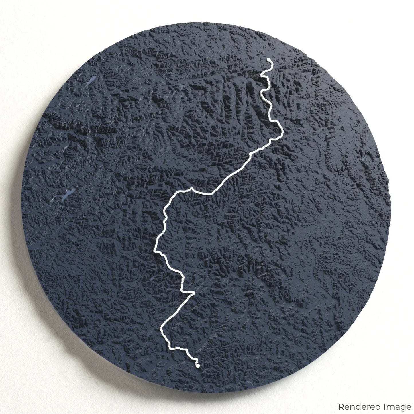
Rothaarsteig 3D Map
Rothaarsteig 3D Map
ORDERS NOT SHIPPED TILL SEPTEMBER!!!
Couldn't load pickup availability
Explore the Scenic Rothaarsteig
Discover one of Germany’s most picturesque long-distance trails with our 3D topographic map of the Rothaarsteig. This tranquil route winds through lush forests, rolling hills, and charming villages, offering an unforgettable hiking experience.
A Journey Through Germany’s Highlands
The Rothaarsteig stretches approximately 154 kilometres (96 miles), traversing the Rothaar Mountains and connecting the towns of Brilon and Dillenburg. Hikers are treated to panoramic viewpoints, historic castles, and pristine natural reserves, making this trail a true gem of central Germany. Whether you've walked this scenic path or dream of exploring it, our handcrafted map captures the beauty of the Rothaarsteig.
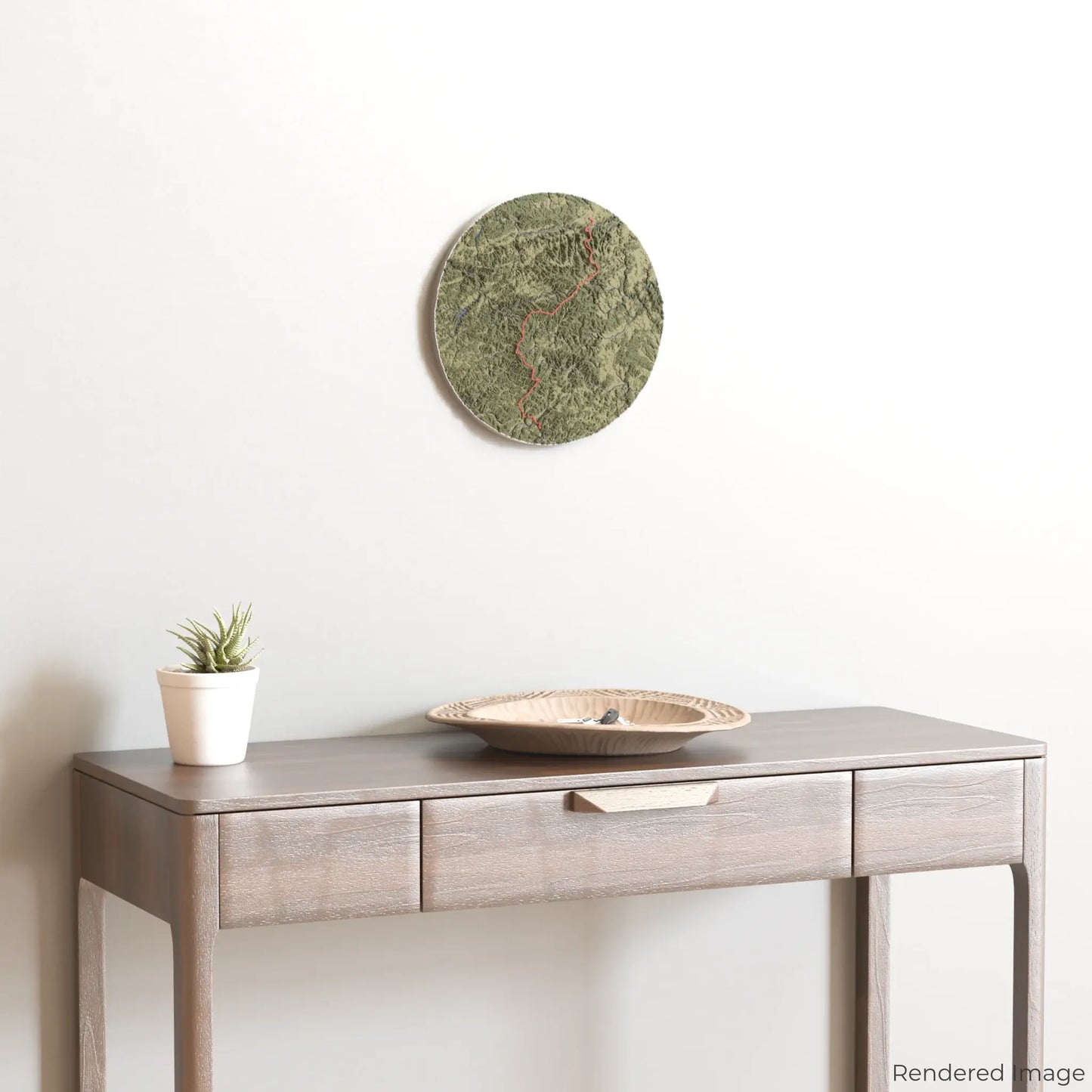
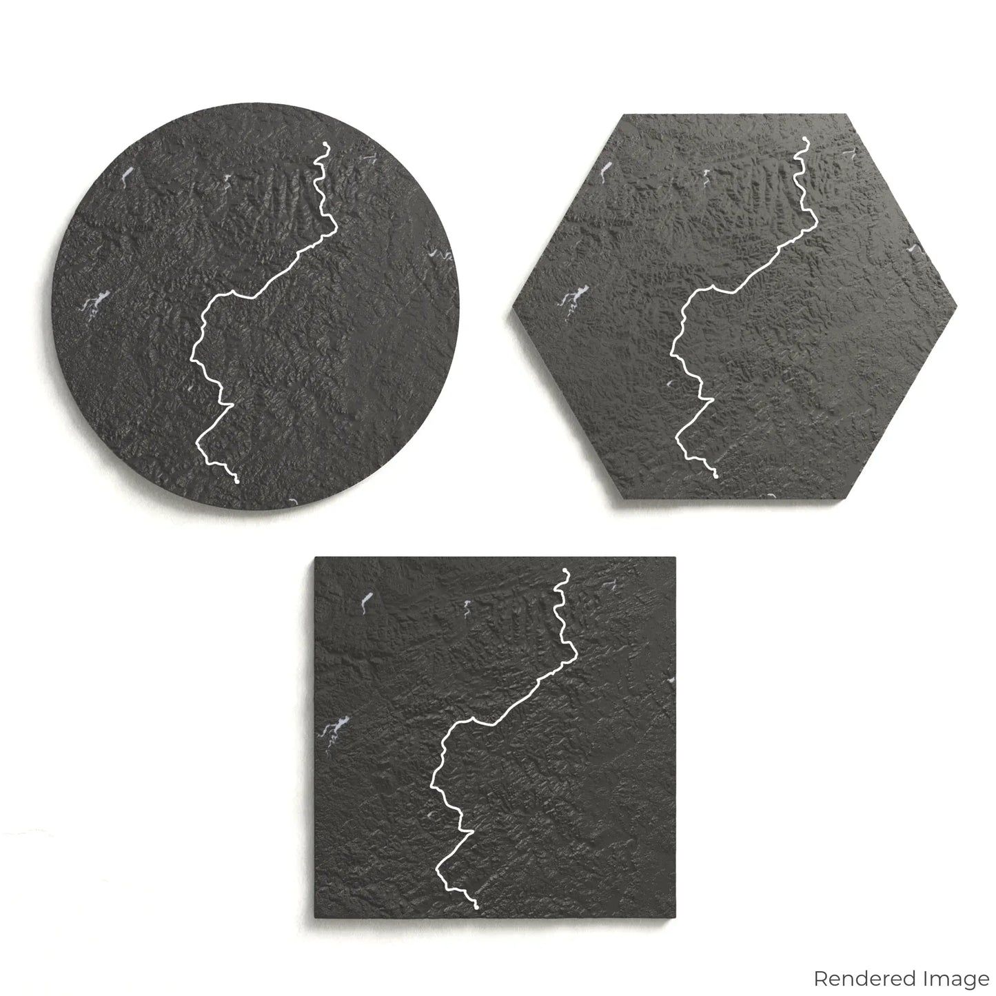
Design Your Custom Trail Keepsake
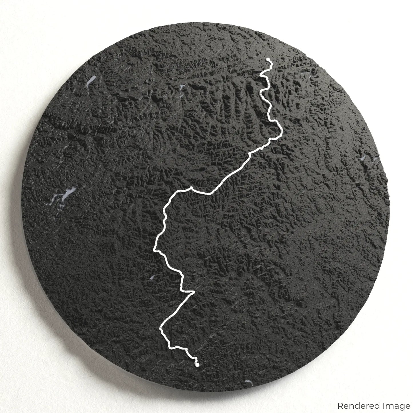
Choose from four striking colour themes and three unique shapes to create a stunning centrepiece for your wall or table. This handcrafted map is the perfect way to commemorate your Rothaarsteig adventure or as a meaningful gift for fellow nature lovers.
Pick the Perfect Size and Shape
Circle: 222 x 222 x 17 mm (8.7 x 8.7 x 0.7 inches)
Hexagon: 242 x 212 x 17 mm (9.6 x 8.3 x 0.7 inches)
Square: 198 x 198 x 17 mm (7.8 x 7.8 x 0.7 inches)
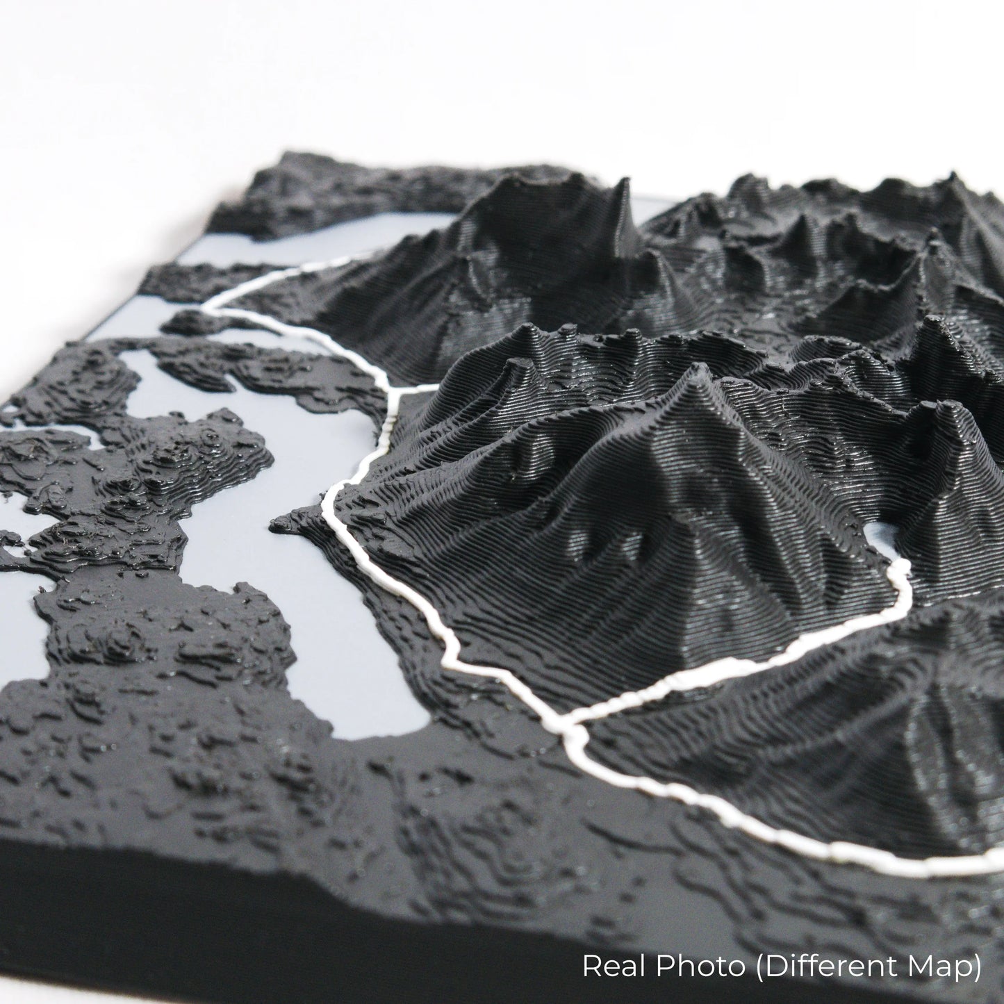
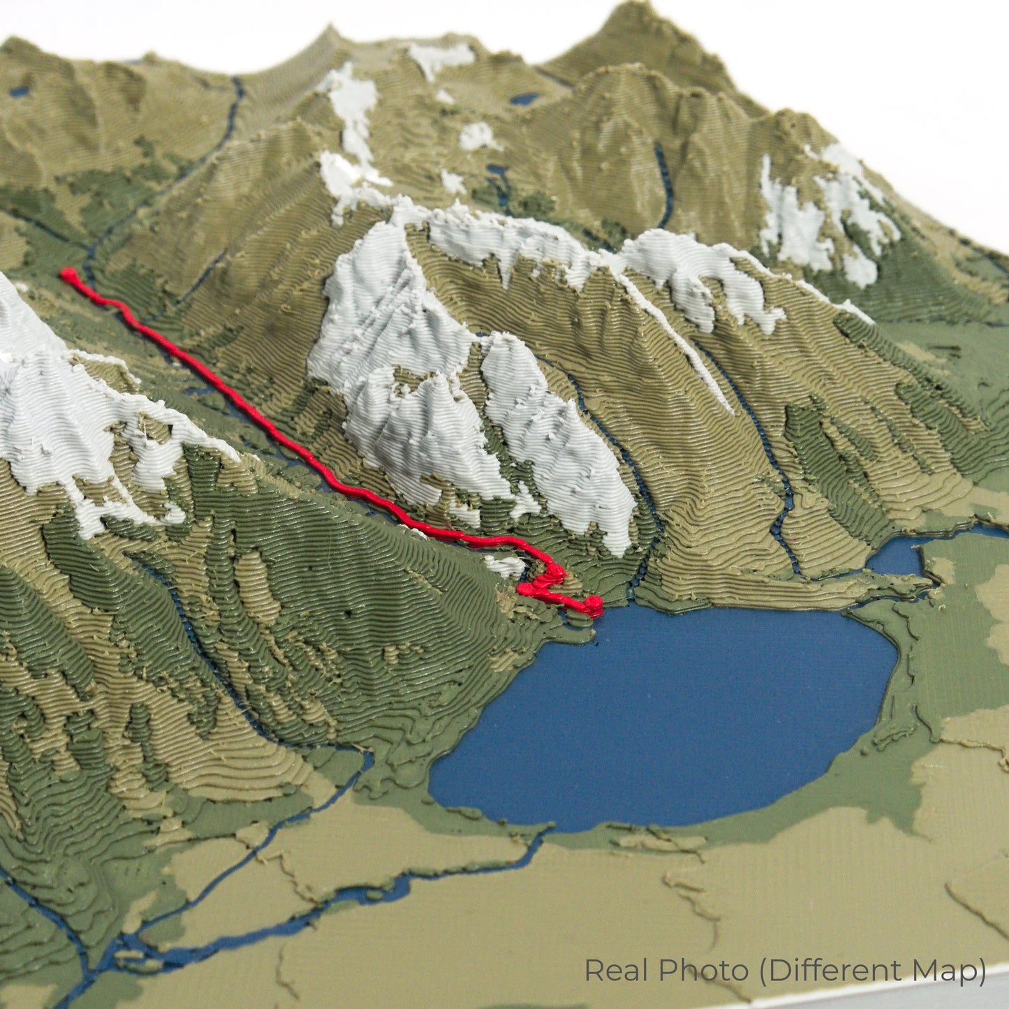
Expertly Crafted for Lasting Detail
Our maps are meticulously designed using advanced colour 3D printing technology and PLA, a durable and plant-based plastic.
Please Note: Some product photos are digitally rendered for illustrative purposes and are labelled as "Rendered Image" for clarity. The actual product may show slight variations and natural imperfections due to the 3D printing process and material properties.
Take the Spirit of the Rothaar Mountains Home
Celebrate your love for the great outdoors with this one-of-a-kind keepsake. Whether you're reminiscing about past hikes or planning your next trek, this 3D map is a tribute to the stunning landscapes of the Rothaarsteig.
Order now and let us create a memento as unforgettable as your journey!
Data Sources
Our maps are created using high-precision topographic data from the following sources:
OpenStreetMap: openstreetmap.org/copyright
Copernicus WorldDEM-30: Produced using Copernicus WorldDEM-30 © DLR e.V. 2010-2014 and © Airbus Defence and Space GmbH 2014-2018, provided under COPERNICUS by the European Union and ESA; all rights reserved.
Share