Mapped3D 3D Printed Maps Auckland, New Zealand
Rongai Route - Mount Kilimanjaro 3D Map
Rongai Route - Mount Kilimanjaro 3D Map
ORDERS NOT SHIPPED TILL SEPTEMBER!!!
Couldn't load pickup availability
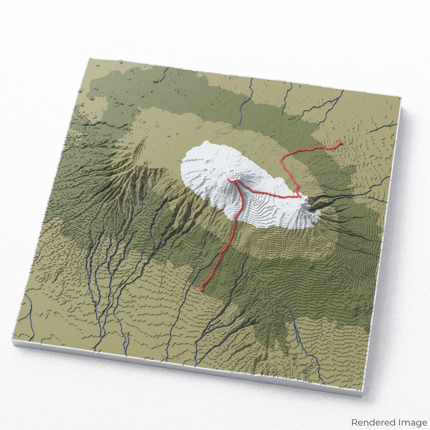
Ascend Kilimanjaro via the Rongai Route
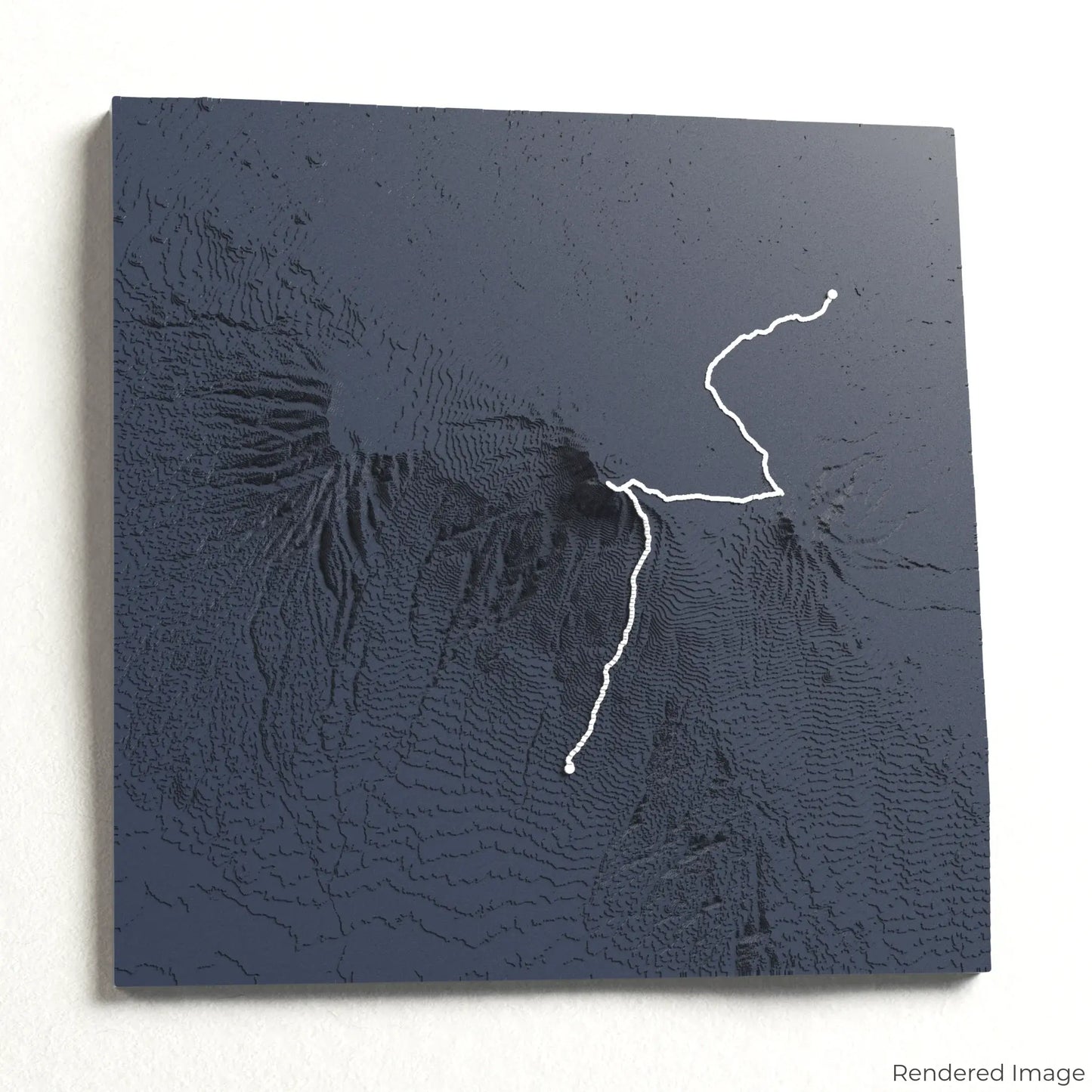
Embark on an unforgettable journey to Africa’s highest peak with our 3D topographic map of the Rongai Route. This scenic and less-traveled path offers breathtaking views and a gradual approach to the legendary summit of Mount Kilimanjaro.
A Unique Trek Through Diverse Landscapes
The Rongai Route spans approximately 72 kilometres (45 miles), winding through lush forests, remote moorlands, and high-altitude deserts before reaching Uhuru Peak at 5,895 metres (19,341 feet). With stunning sunrise vistas and a quieter atmosphere, this route is ideal for those seeking a serene yet challenging climb. Whether you’ve conquered Kilimanjaro or dream of summiting it, our handcrafted map captures the adventure of the Rongai Route.
Create a Lasting Tribute to Your Climb
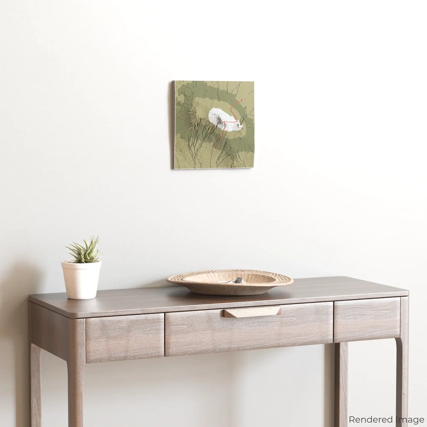
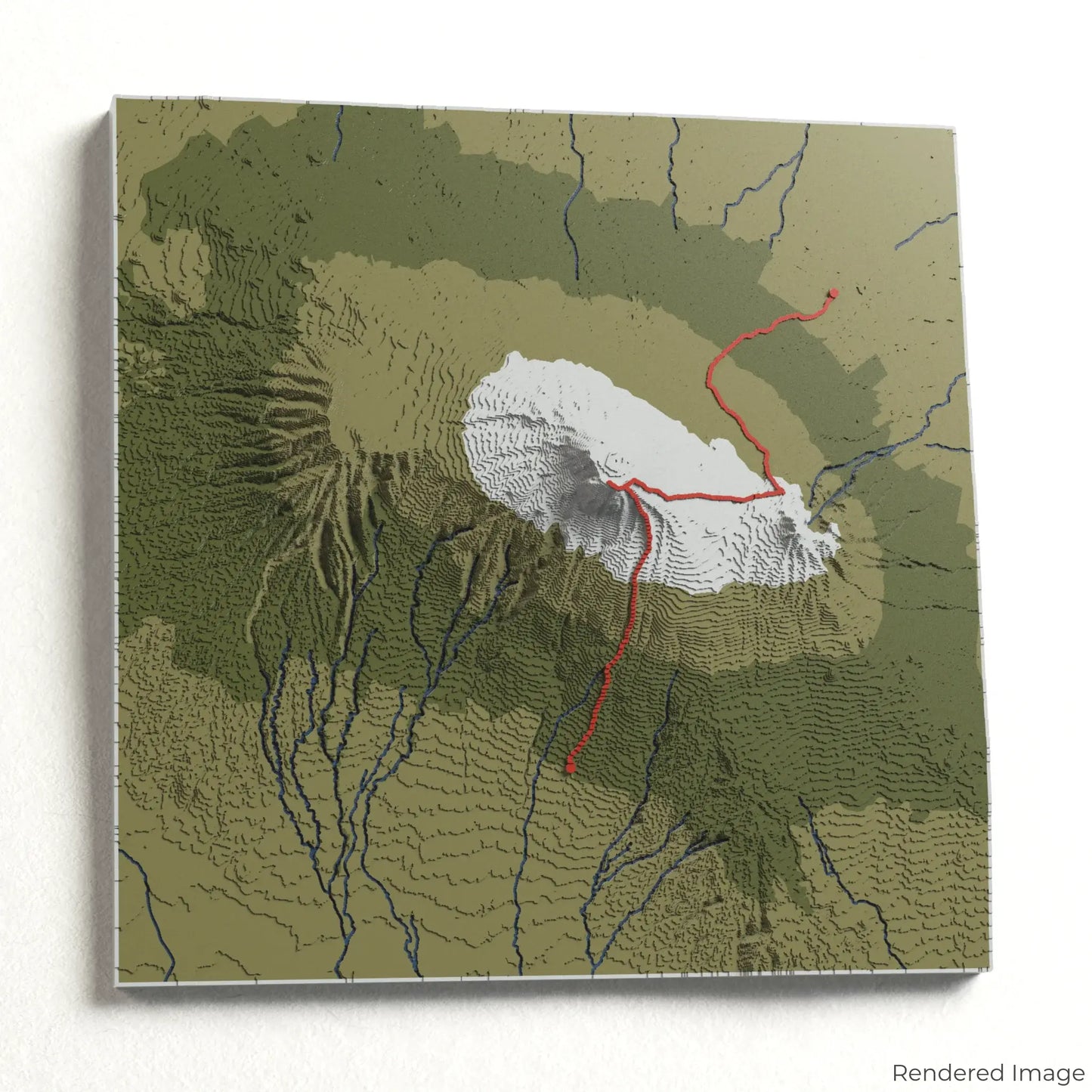
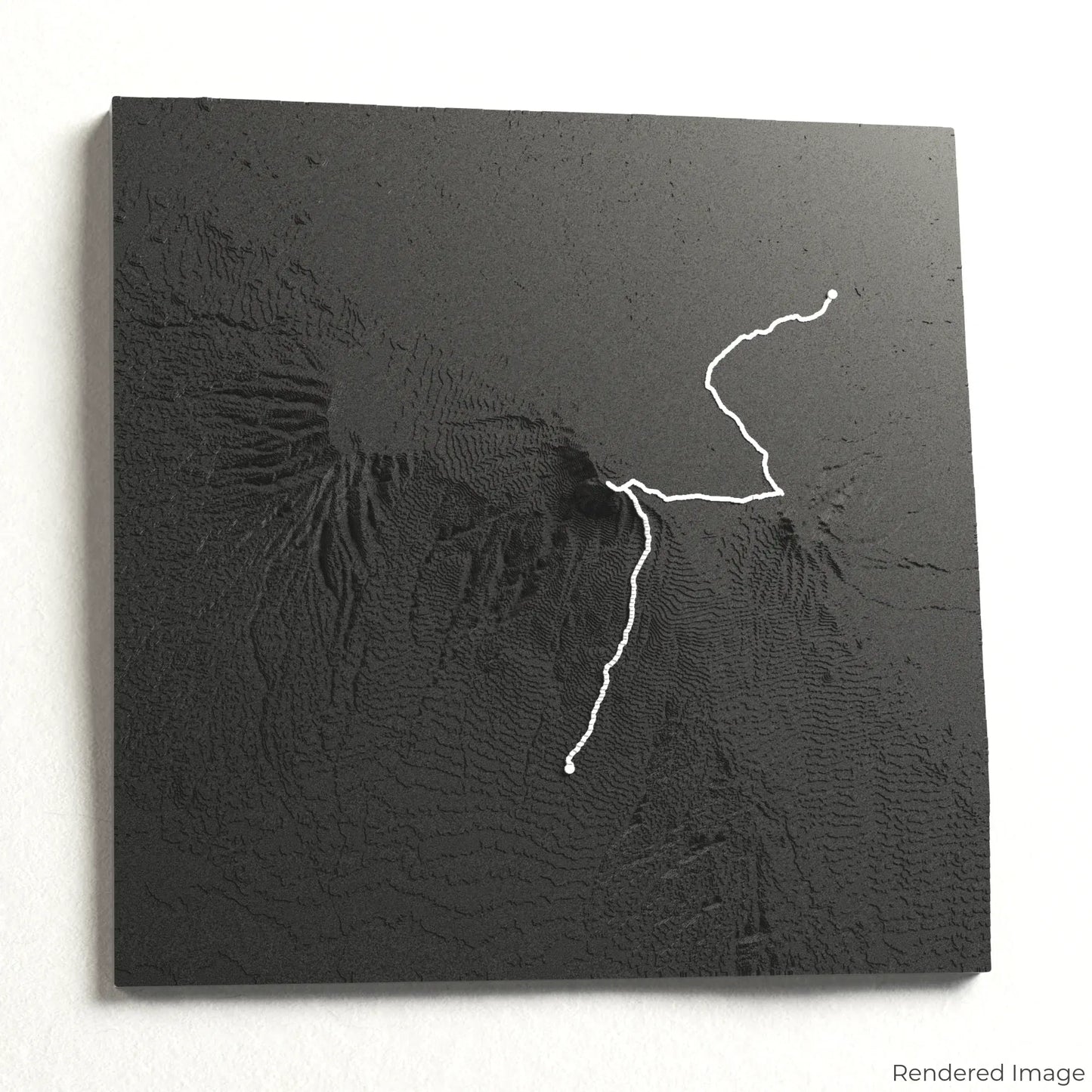
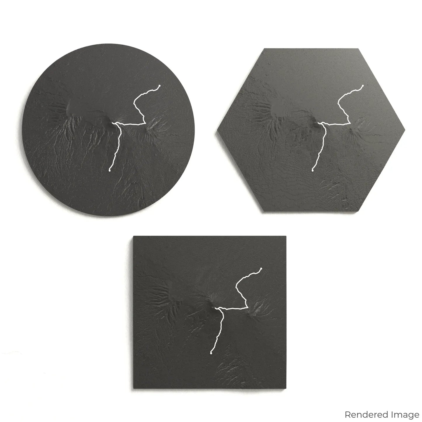
Choose from four striking colour themes and three unique shapes to create a stunning centrepiece for your wall or table. This handcrafted map is the perfect way to celebrate your Rongai Route ascent or as a meaningful gift for fellow climbers.
Select the Perfect Fit for Your Space
Circle: 222 x 222 x 35 mm (8.7 x 8.7 x 1.4 inches)
Hexagon: 242 x 212 x 35 mm (9.5 x 8.3 x 1.4 inches)
Square: 198 x 198 x 35 mm (7.8 x 7.8 x 1.4 inches)
Designed with Precision and Detail
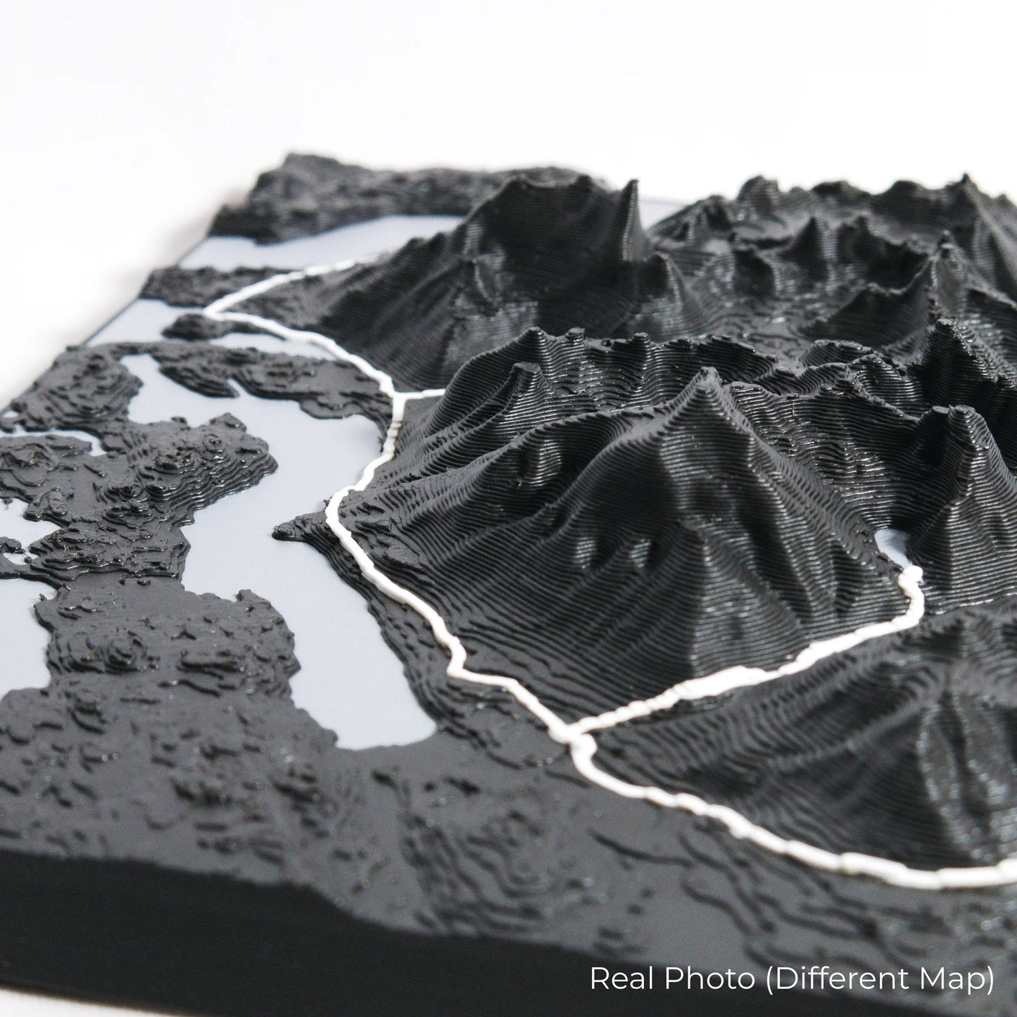
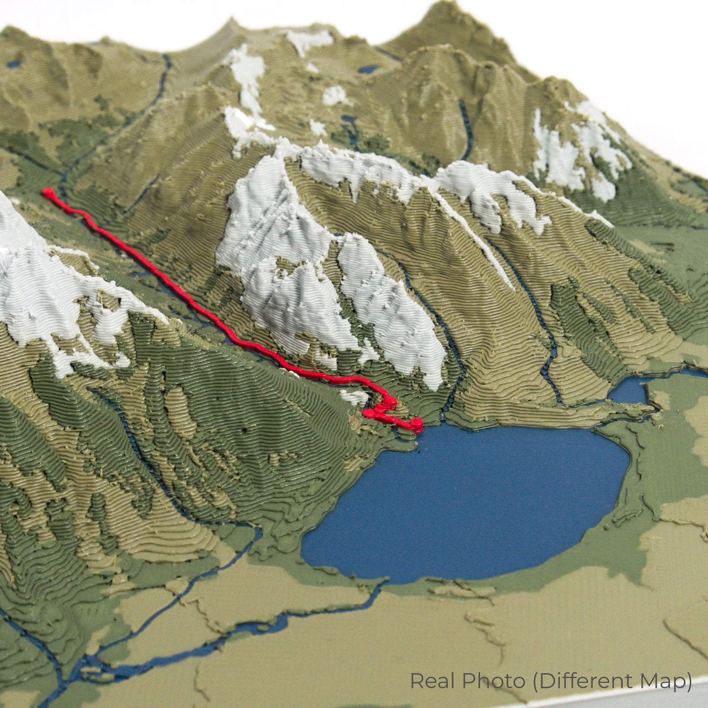
Our maps are meticulously crafted using advanced colour 3D printing technology and PLA, a durable and plant-based plastic.
Please Note: Some product photos are digitally rendered for illustrative purposes and are labelled as "Rendered Image" for clarity. The actual product may show slight variations and natural imperfections due to the 3D printing process and material properties.
Bring Kilimanjaro’s Majesty Home
Celebrate your love for high-altitude adventures with this one-of-a-kind keepsake. Whether you're reminiscing about past treks or planning your next expedition, this 3D map is a tribute to the beauty of the Rongai Route.
Order now and let us create a memento as unforgettable as your journey!
Data Sources
Our maps are created using high-precision topographic data from the following sources:
OpenStreetMap: openstreetmap.org/copyright
Copernicus WorldDEM-30: Produced using Copernicus WorldDEM-30 © DLR e.V. 2010-2014 and © Airbus Defence and Space GmbH 2014-2018, provided under COPERNICUS by the European Union and ESA; all rights reserved.
Share