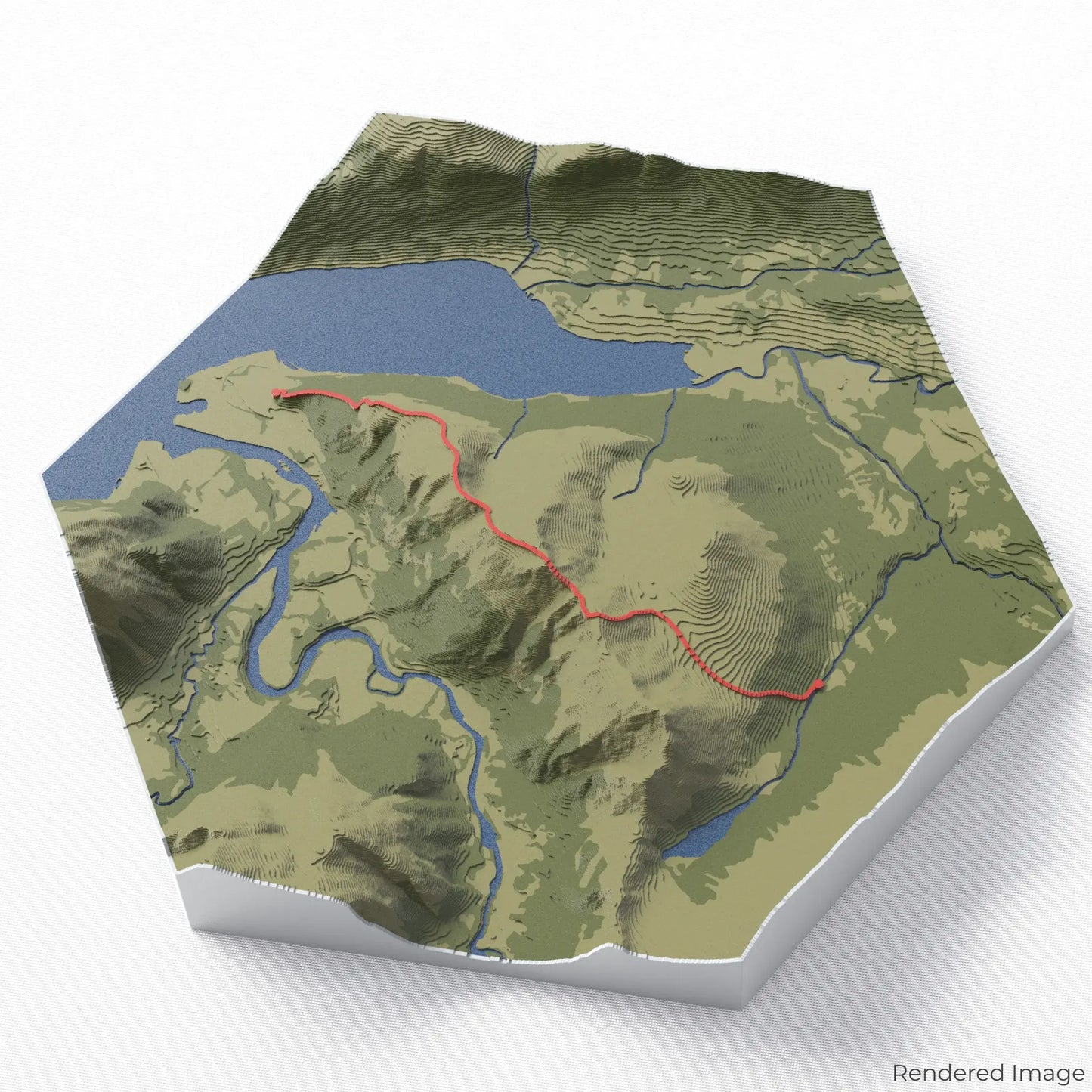
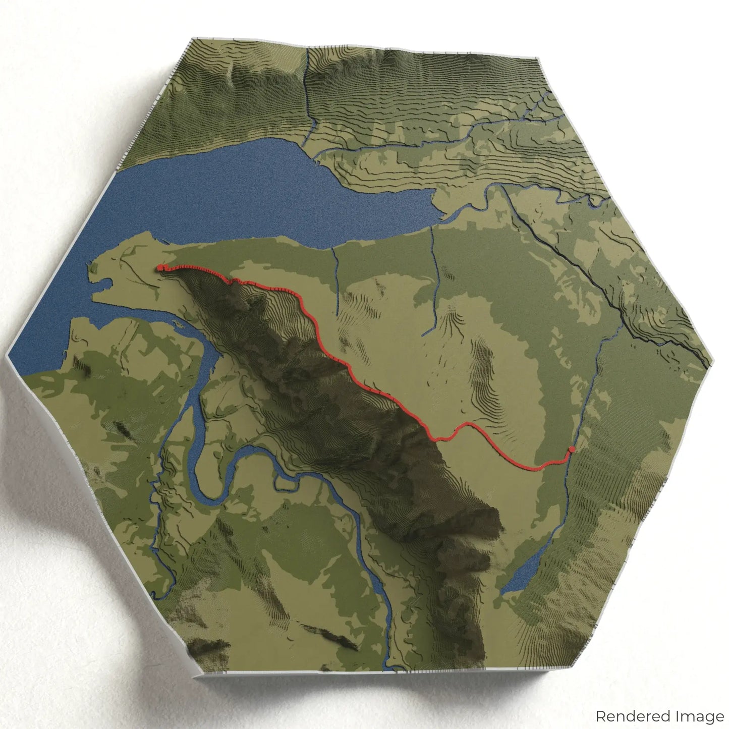
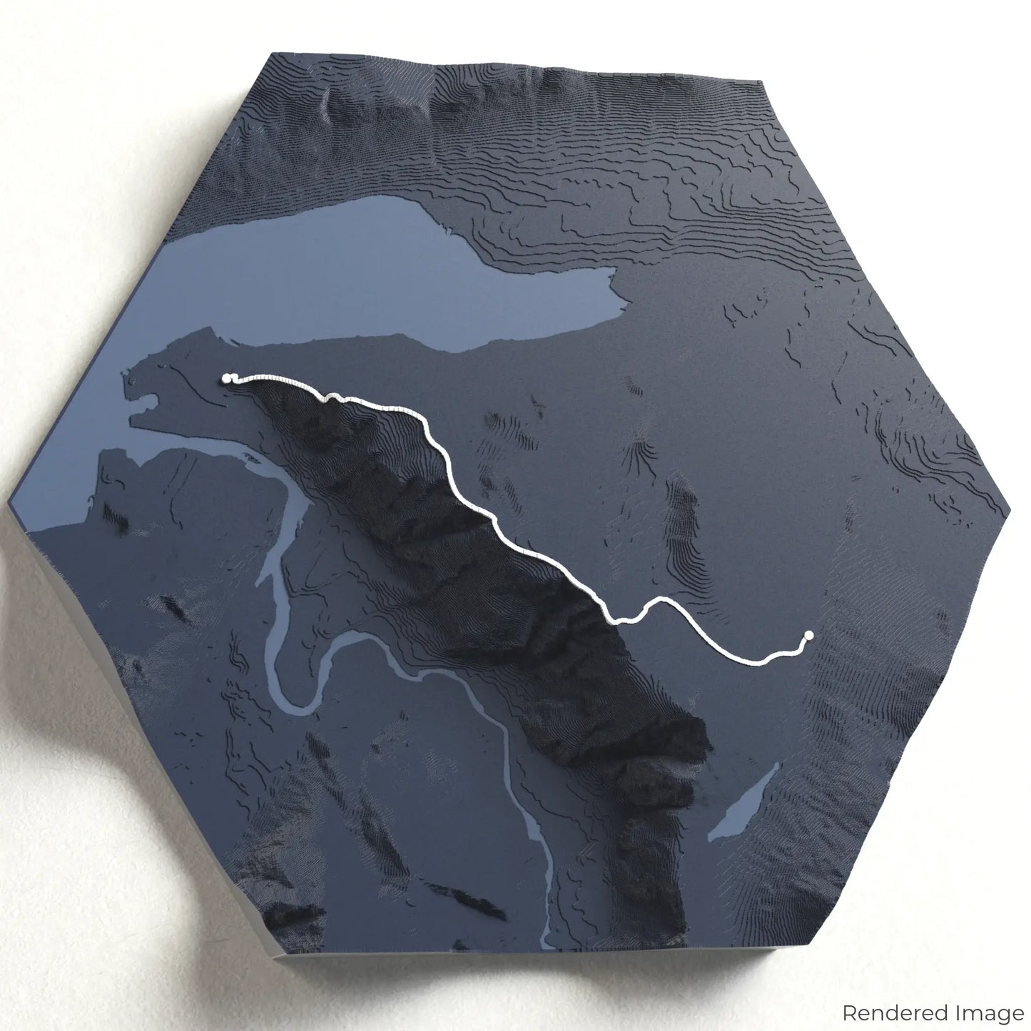
Conquer the Romsdalseggen Ridge
Experience one of Norway’s most breathtaking hikes with our 3D topographic map of Romsdalseggen. This dramatic ridge trail offers panoramic views of deep fjords, towering peaks, and lush valleys.
A Spectacular Trek Through the Fjords
The Romsdalseggen hike spans approximately 10 kilometres (6.2 miles), guiding adventurers along rugged ridgelines with unparalleled views of the Romsdal Alps, Åndalsnes, and the Rauma River far below. Whether you've hiked this thrilling trail or dream of doing so, our handcrafted map captures the essence of Romsdalseggen.
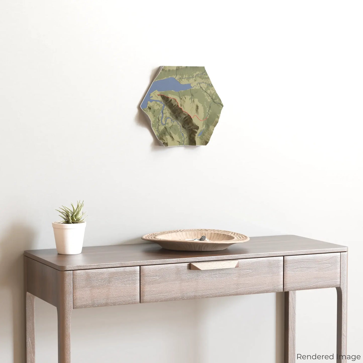
Your Mountain Memento
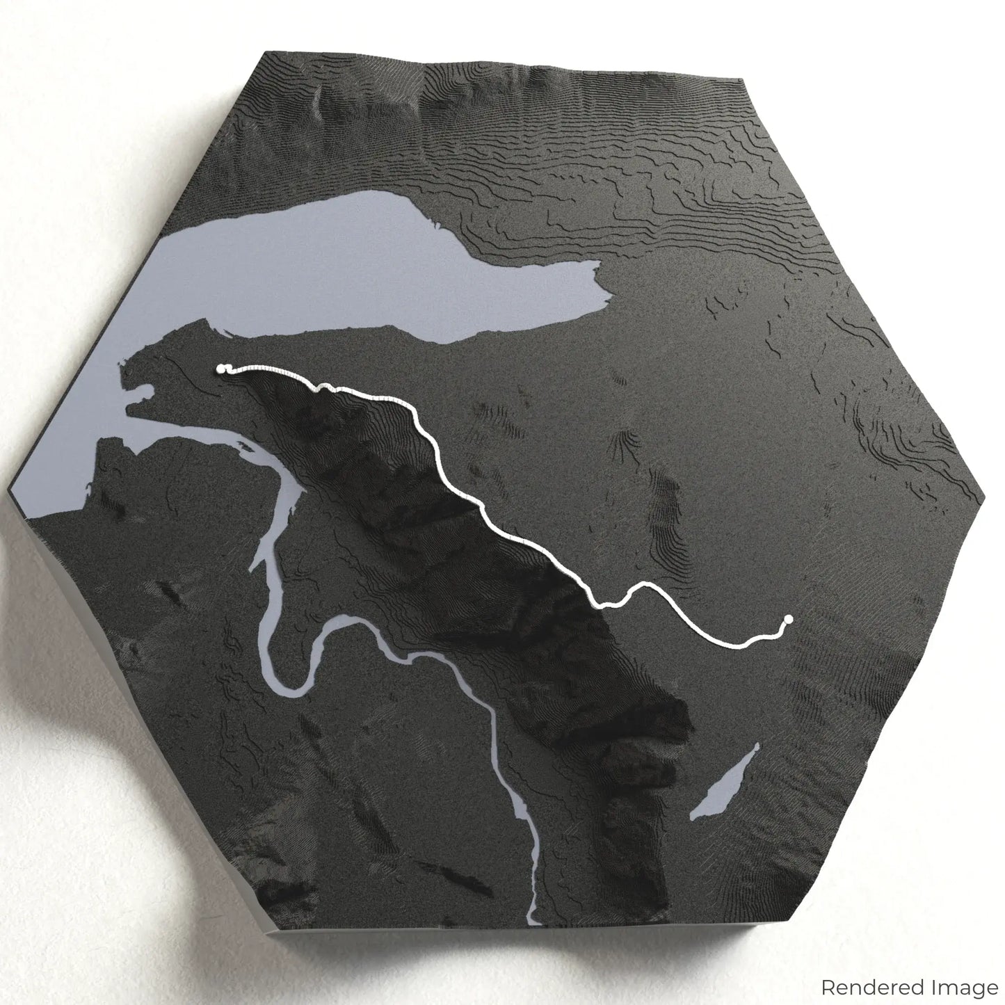
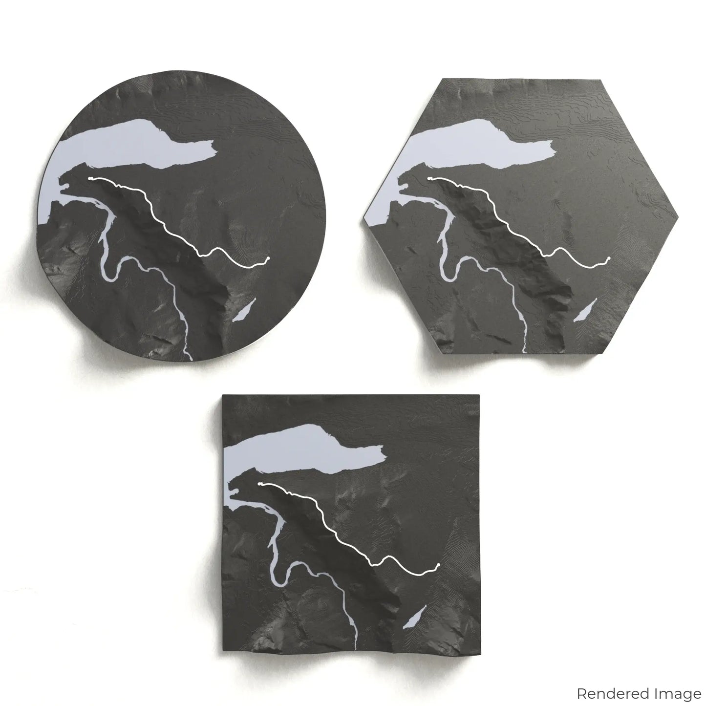
Choose from four striking colour themes and three unique shapes to create an eye-catching centrepiece for your wall or table. This handcrafted map is the perfect way to commemorate your Romsdalseggen adventure or as a thoughtful gift for fellow explorers.
Choose the Perfect Size and Shape
Circle: 222 x 222 x 43 mm (8.7 x 8.7 x 1.7 inches)
Hexagon: 242 x 212 x 43 mm (9.5 x 8.3 x 1.7 inches)
Square: 198 x 198 x 43 mm (7.8 x 7.8 x 1.7 inches)
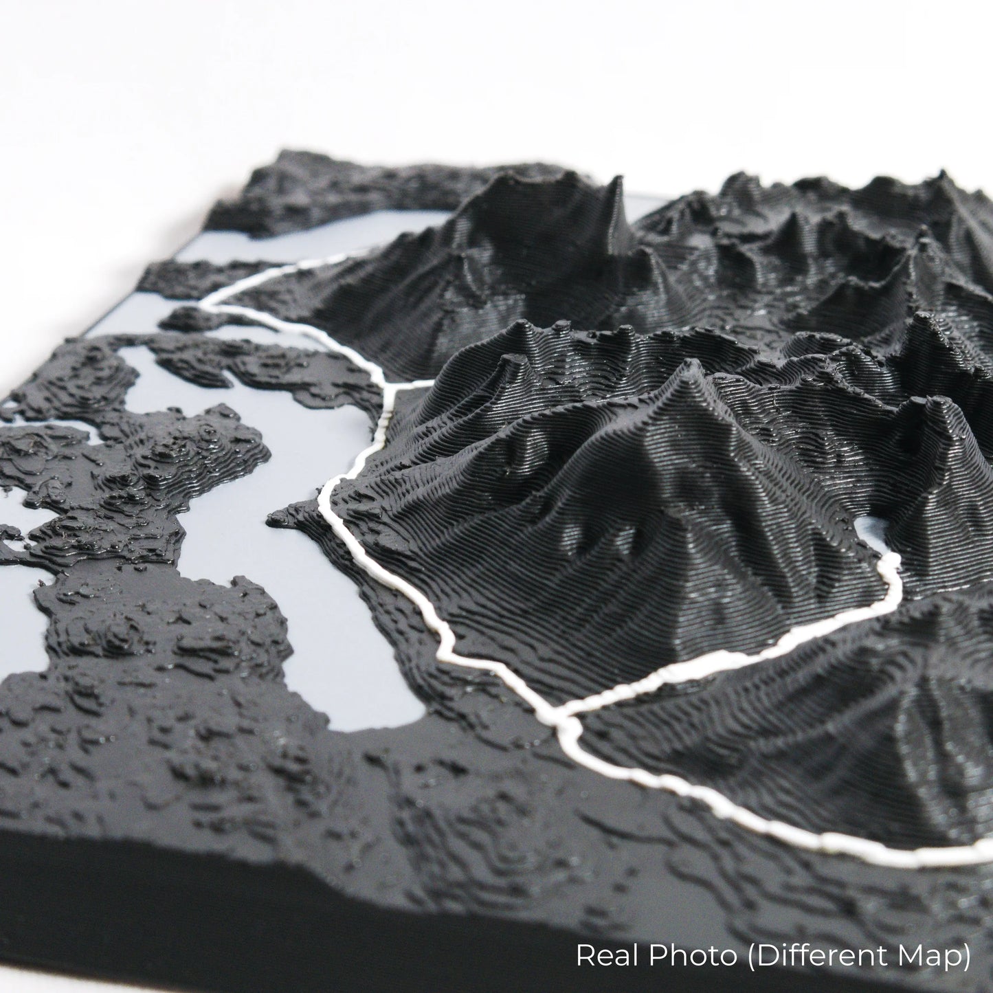
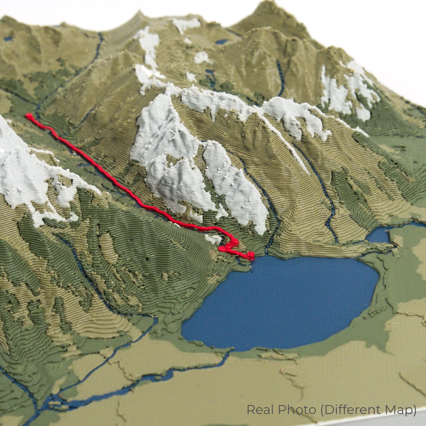
Crafted for Lasting Quality
Our maps are meticulously crafted using advanced colour 3D printing technology and PLA, a durable and plant-based plastic.
Please Note: Some product photos are digitally rendered for illustrative purposes and are labelled as "Rendered Image" for clarity. The actual product may show slight variations and natural imperfections due to the 3D printing process and material properties.
Bring Norway’s Scenic Ridge Home
Celebrate your love for Norway’s wild landscapes with this one-of-a-kind keepsake. Whether you're reliving cherished memories or planning your next adventure, this 3D map is a testament to the breathtaking beauty of Romsdalseggen.
Order now and let us create a memento as unforgettable as your journey!
Data Sources
Our maps are created using high-precision topographic data from the following sources:
OpenStreetMap: openstreetmap.org/copyright
Copernicus WorldDEM-30: Produced using Copernicus WorldDEM-30 © DLR e.V. 2010-2014 and © Airbus Defence and Space GmbH 2014-2018, provided under COPERNICUS by the European Union and ESA; all rights reserved.