Mapped3D 3D Printed Maps Auckland, New Zealand
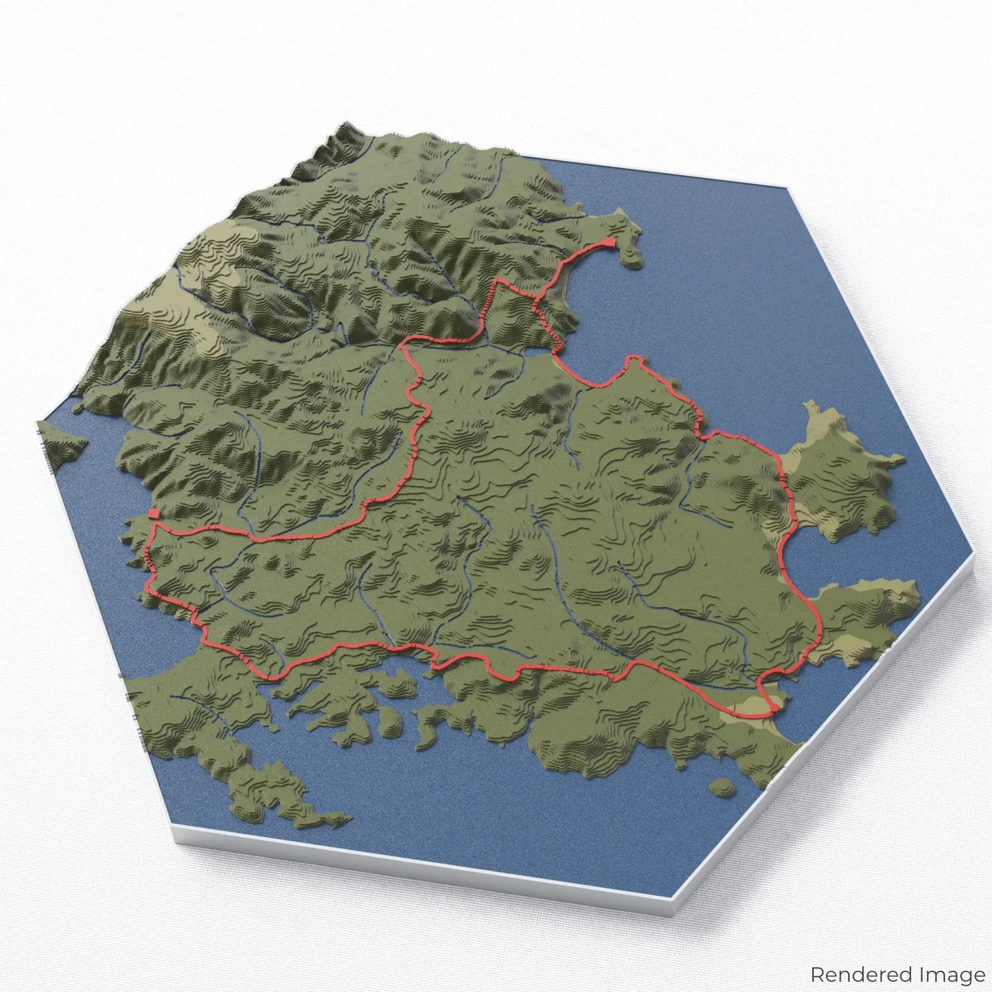
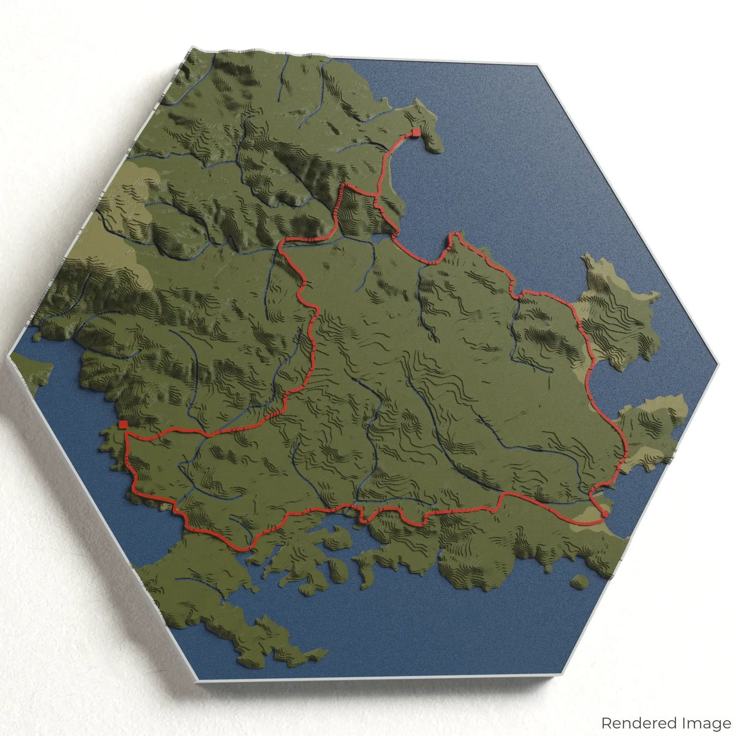
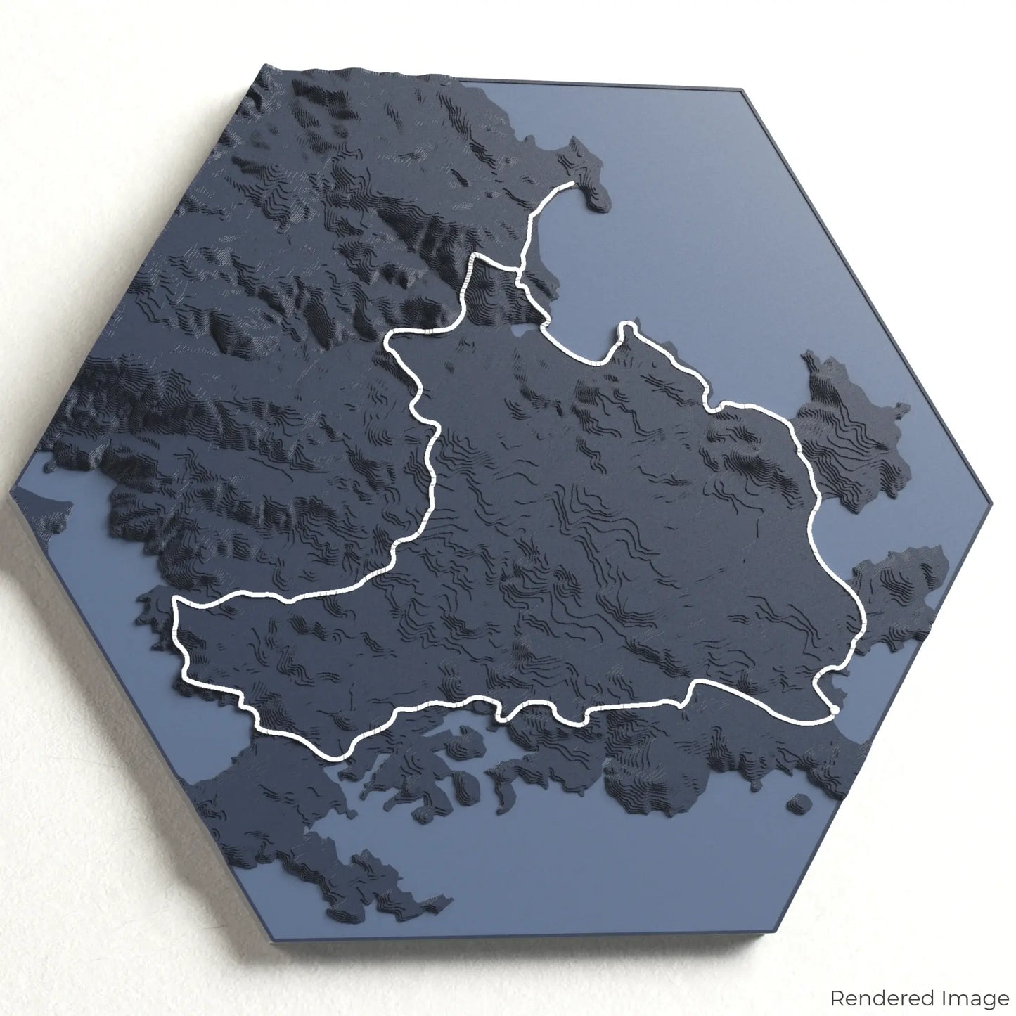
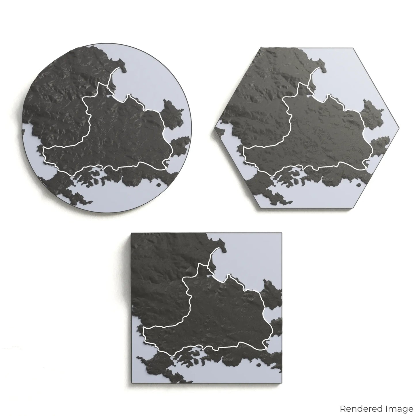
Rakiura Track 3D Map
Rakiura Track 3D Map
ORDERS NOT SHIPPED TILL SEPTEMBER!!!
Couldn't load pickup availability
Discover the Rakiura Track
Experience the remote beauty of New Zealand’s Stewart Island with our 3D topographic map of the Rakiura Track. This Great Walk showcases pristine beaches, lush rainforests, and abundant wildlife, offering a true escape into nature.
A Journey Through Stewart Island’s Wilderness
The Rakiura Track spans approximately 32 kilometres (20 miles), guiding hikers through coastal landscapes, podocarp forests, and historic Māori settlement sites. With its tranquil atmosphere and diverse birdlife, including kiwi sightings, this trail provides an unforgettable experience. Whether you've explored its winding paths or dream of doing so, our handcrafted map captures the essence of the Rakiura Track.
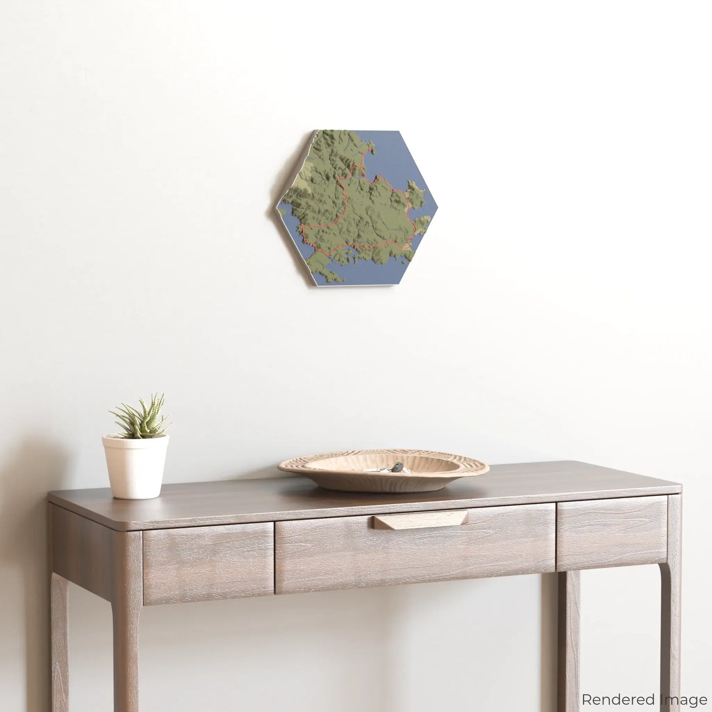
Create Your Custom Trail Keepsake
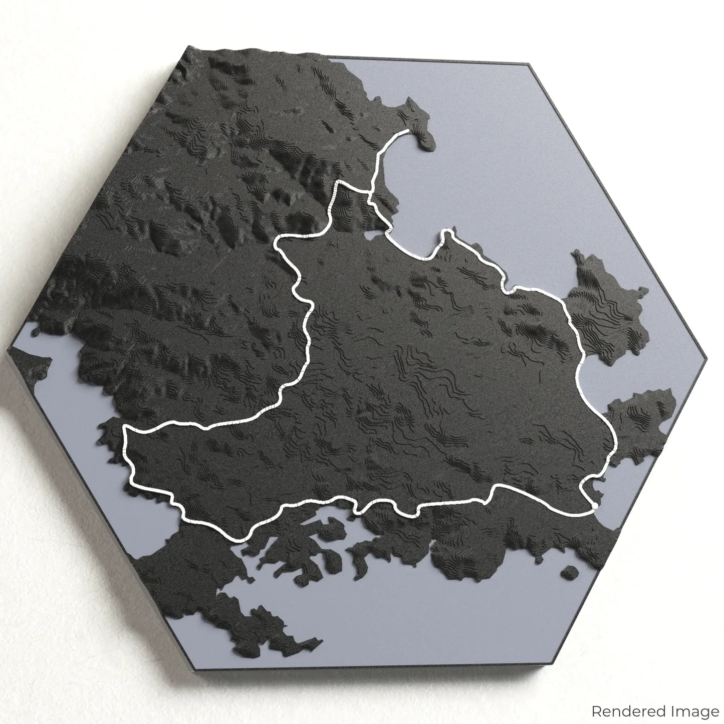
Choose from four striking colour themes and three unique shapes to create an eye-catching centrepiece for your wall or table. This handcrafted map is the perfect way to commemorate your journey along the Rakiura Track or as a thoughtful gift for fellow explorers.
Select Your Preferred Size and Shape
Circle: 222 x 222 x 27 mm (8.7 x 8.7 x 1.1 inches)
Hexagon: 242 x 212 x 27 mm (9.5 x 8.3 x 1.1 inches)
Square: 198 x 198 x 27 mm (7.8 x 7.8 x 1.1 inches)
Crafted for Quality and Detail
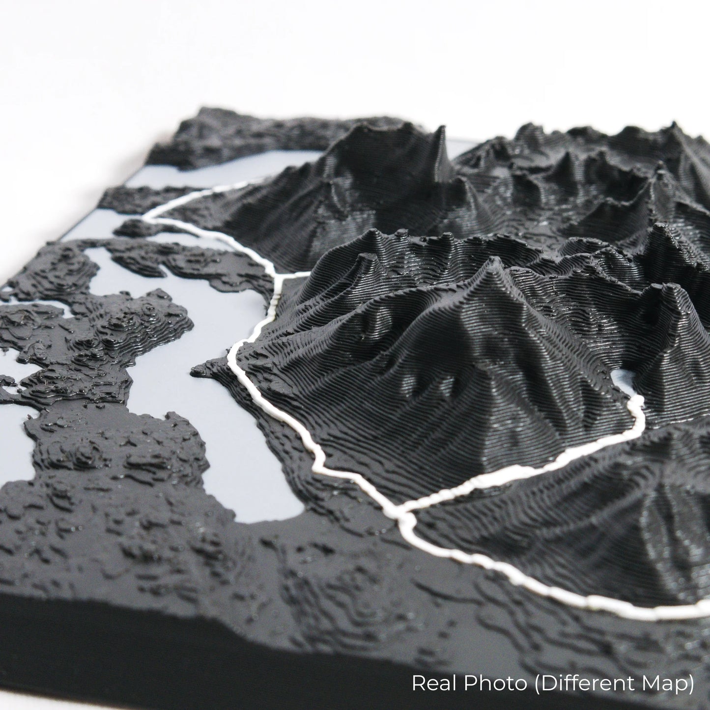
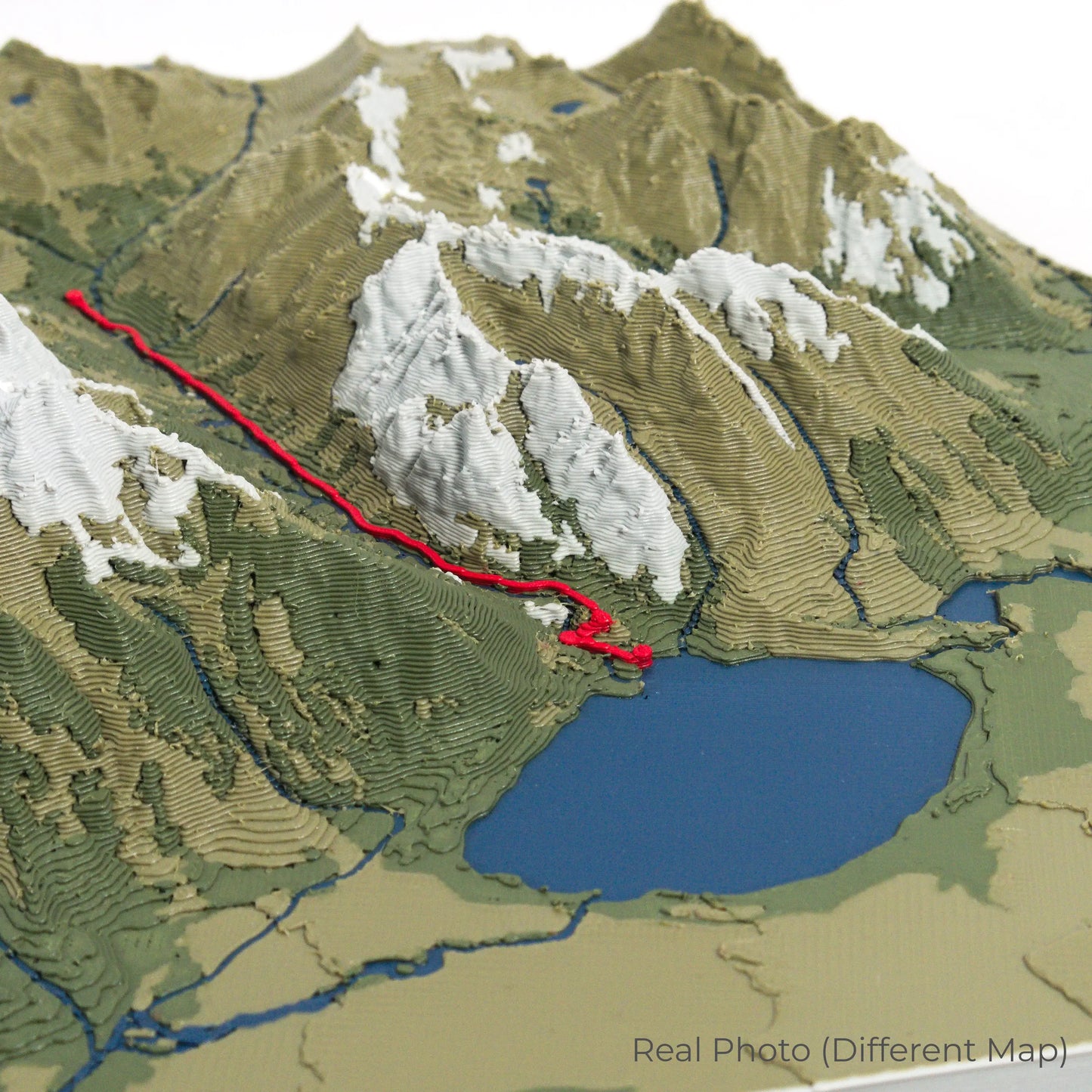
Our maps are meticulously crafted using advanced colour 3D printing technology and PLA, a durable and plant-based plastic.
Please Note: Some product photos are digitally rendered for illustrative purposes and are labelled as "Rendered Image" for clarity. The actual product may show slight variations and natural imperfections due to the 3D printing process and material properties.
Bring Stewart Island’s Beauty Home
Celebrate your love for New Zealand’s wild landscapes with this one-of-a-kind keepsake. Whether you're reliving cherished memories or planning your next adventure, this 3D map is a testament to the natural wonder of the Rakiura Track.
Order now and let us create a memento as unforgettable as your journey!
Data Sources
Our maps are created using high-precision topographic data from the following sources:
OpenStreetMap: openstreetmap.org/copyright
Copernicus WorldDEM-30: Produced using Copernicus WorldDEM-30 © DLR e.V. 2010-2014 and © Airbus Defence and Space GmbH 2014-2018, provided under COPERNICUS by the European Union and ESA; all rights reserved.
Share