Experience the Rae Lakes Loop
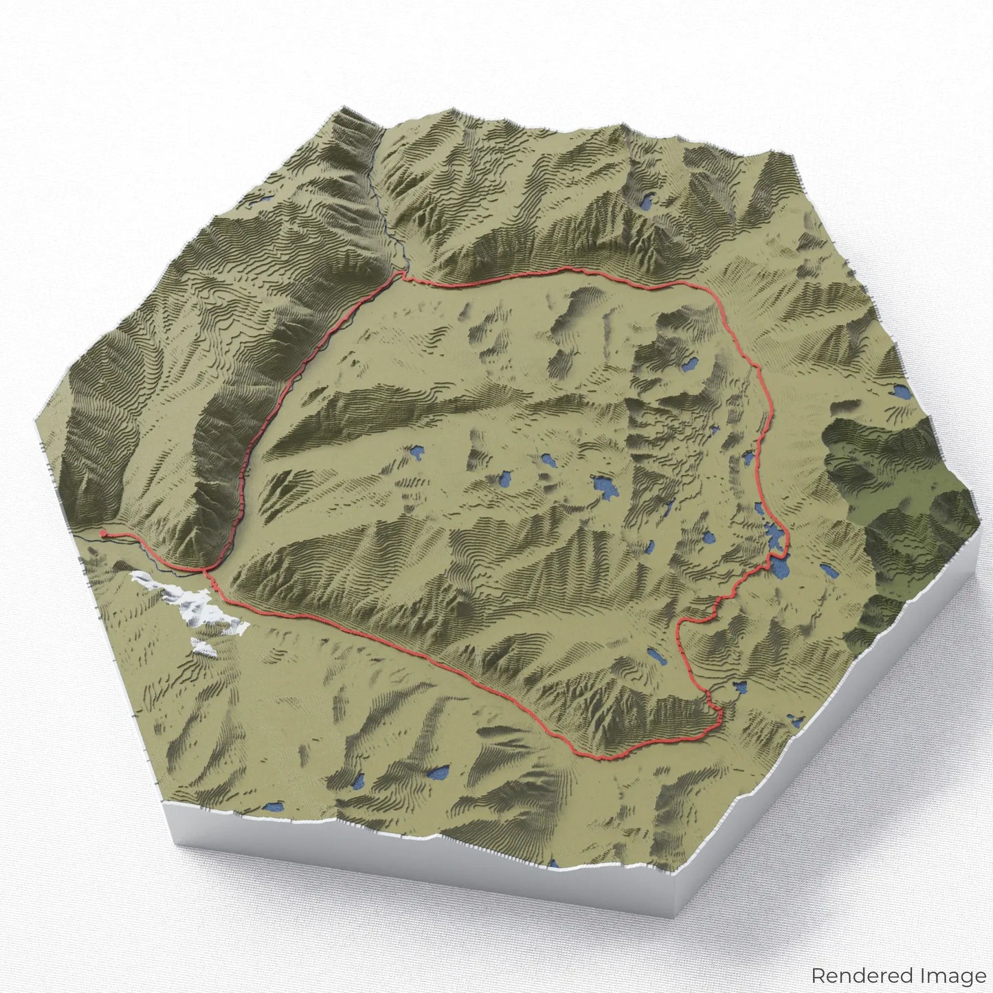
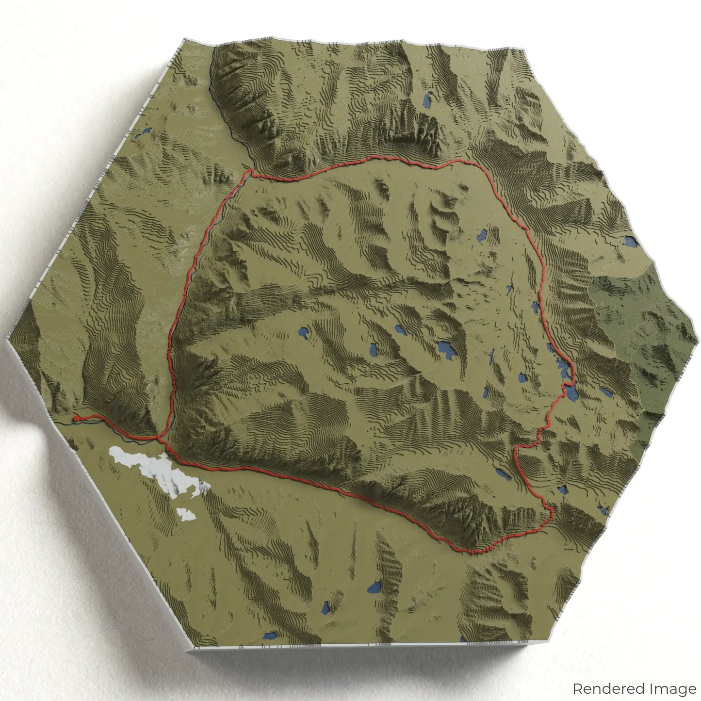
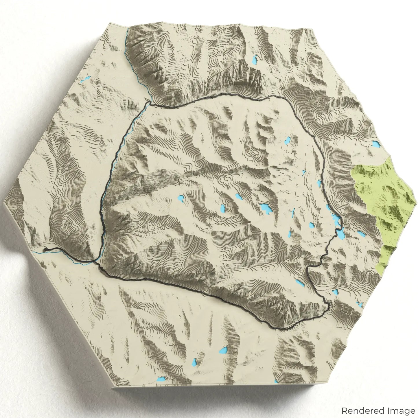
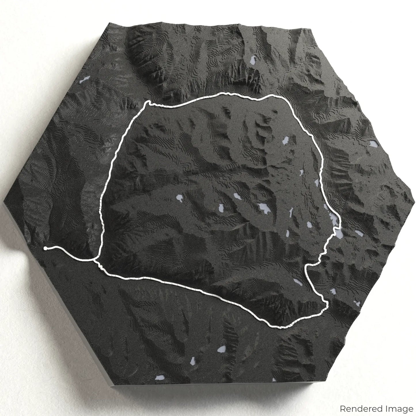
Discover the breathtaking beauty of California’s Sierra Nevada with our 3D topographic map of the Rae Lakes Loop. This scenic circuit offers crystal-clear lakes, alpine meadows, and majestic peaks, making it a favourite among backpackers.
Trek Through Kings Canyon’s Wilderness
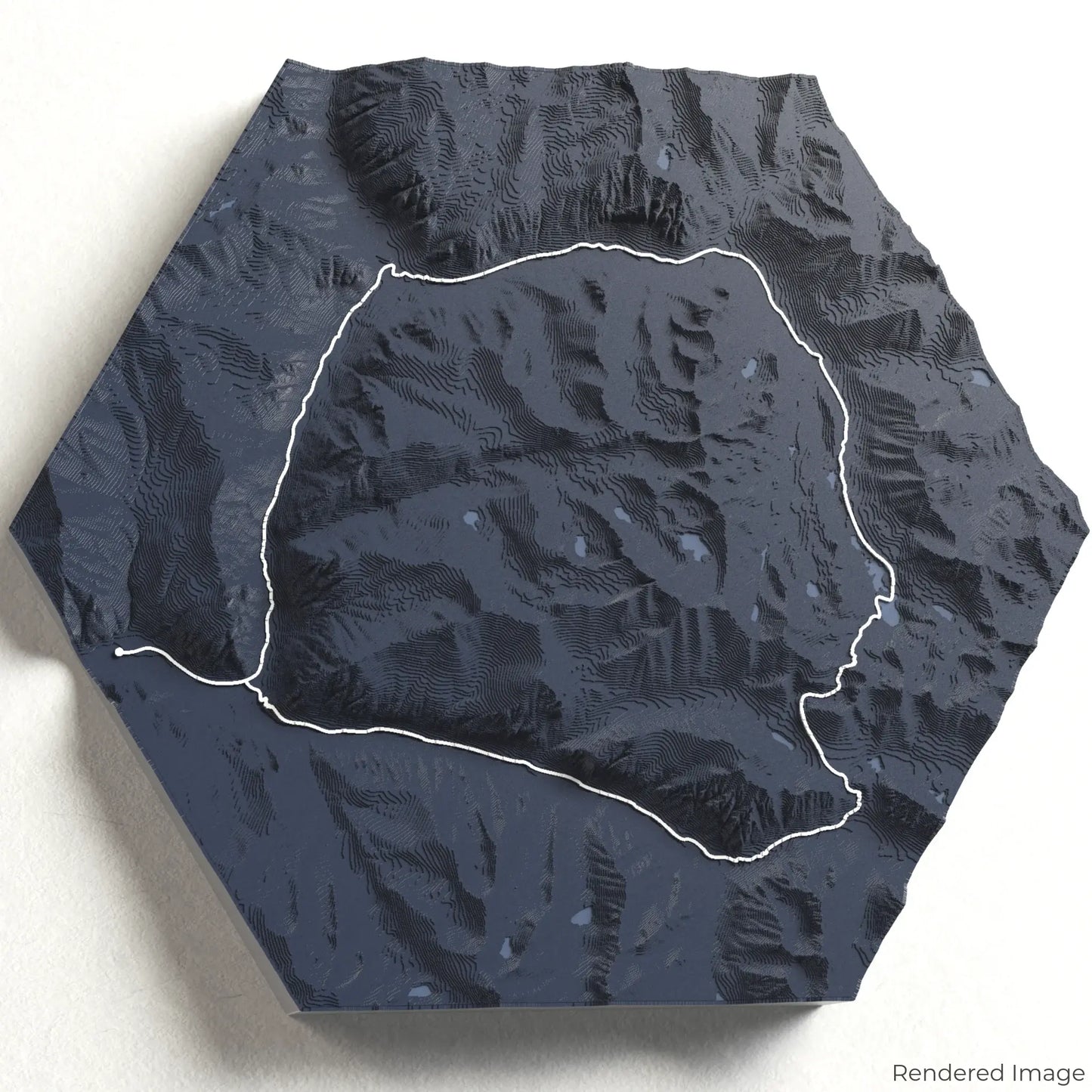
The Rae Lakes Loop spans approximately 66 kilometres (41 miles), guiding hikers through lush forests, alongside cascading rivers, and over Glen Pass at 3,658 metres (12,000 feet). The loop features stunning vistas, including views of the Painted Lady and Fin Dome. Whether you've trekked this challenging route or dream of doing so, our handcrafted map captures the essence of the Rae Lakes Loop.
The Perfect Trail Keepsake
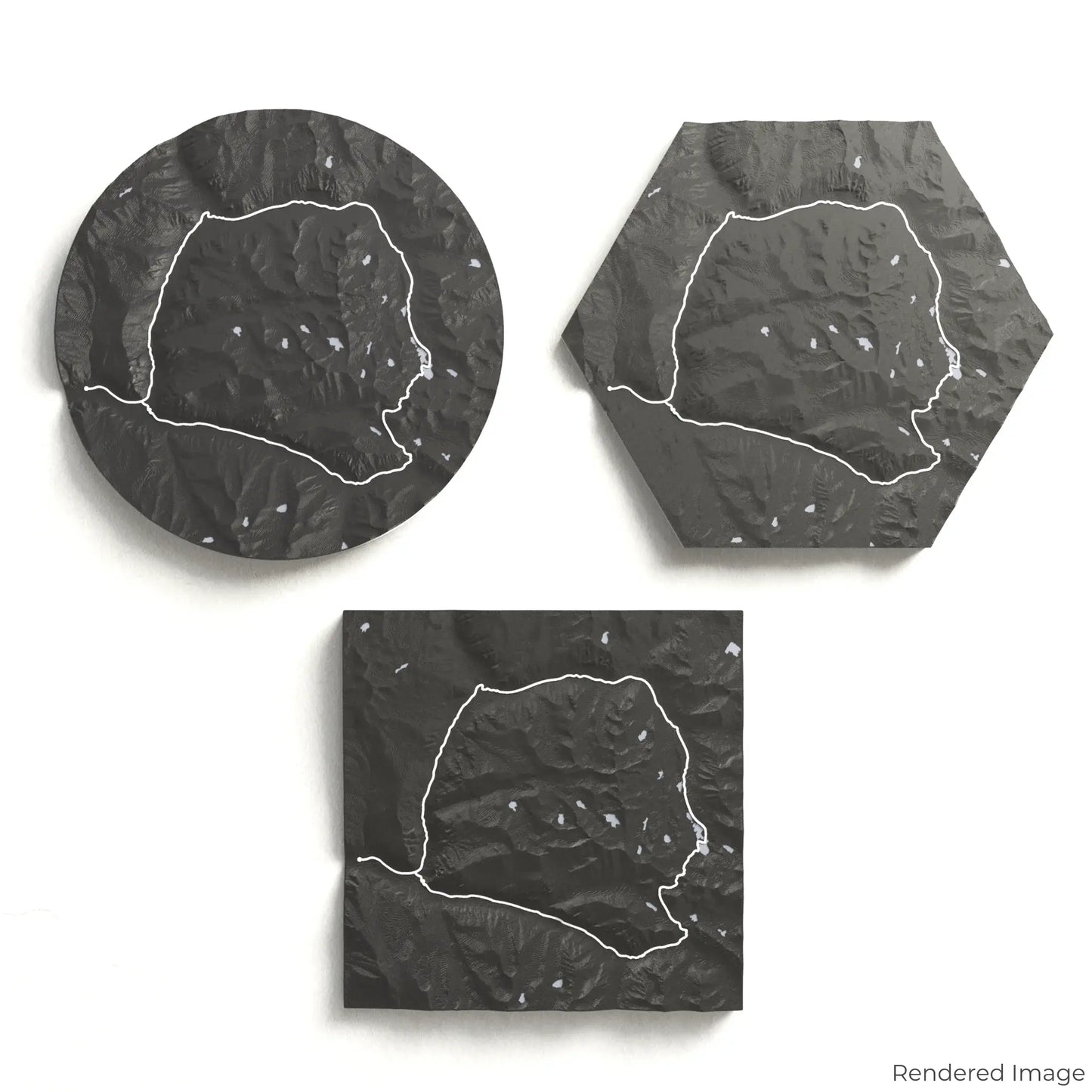
Choose from four striking colour themes and three unique shapes to create an eye-catching centrepiece for your wall or table. This handcrafted map is the perfect way to commemorate your adventure along the Rae Lakes Loop or as a thoughtful gift for fellow explorers.
Select Your Preferred Size and Shape
Circle: 222 x 222 x 30 mm (8.7 x 8.7 x 1.2 inches)
Hexagon: 242 x 212 x 30 mm (9.5 x 8.3 x 1.2 inches)
Square: 198 x 198 x 30 mm (7.8 x 7.8 x 1.2 inches)
Crafted for Quality and Detail
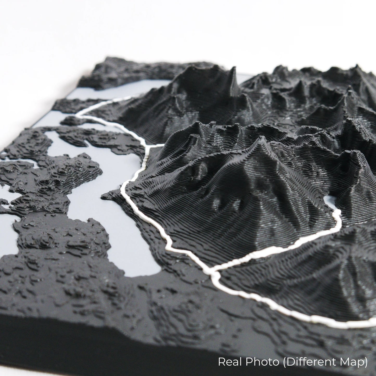
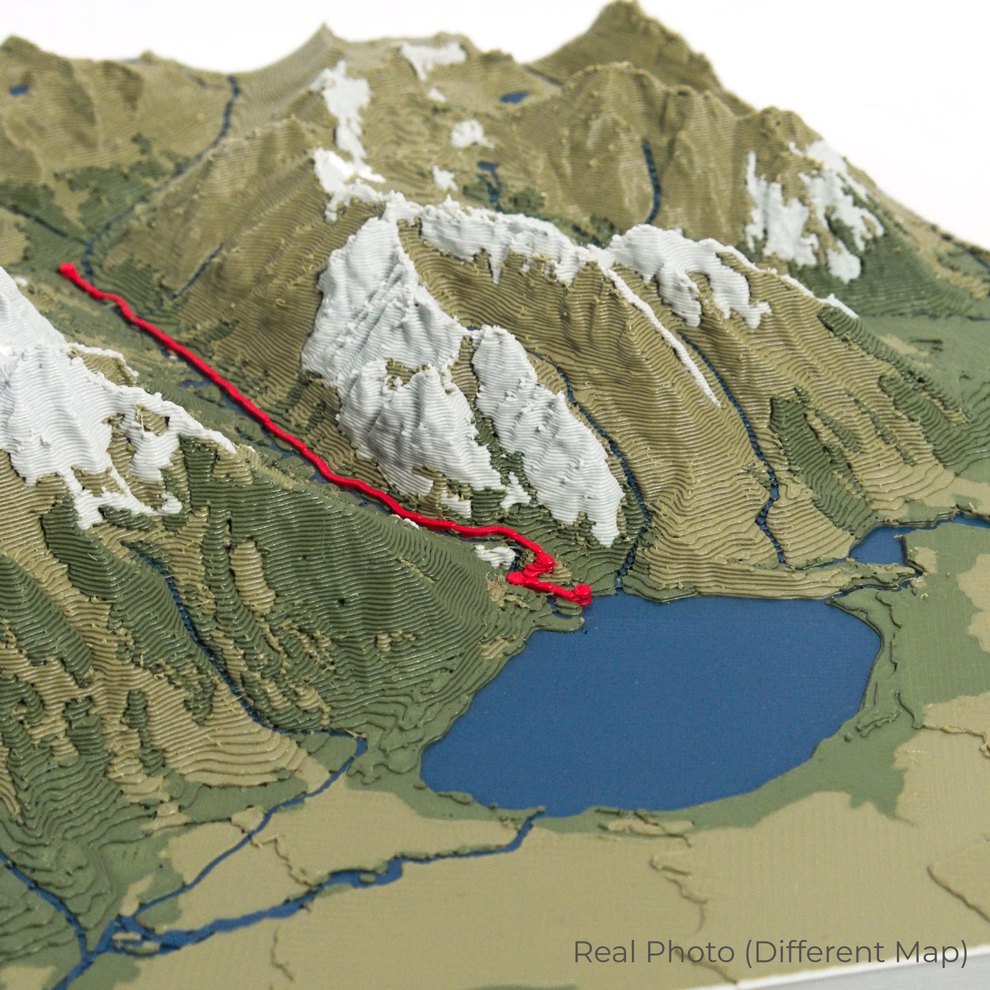
Our maps are meticulously crafted using advanced colour 3D printing technology and PLA, a durable and plant-based plastic.
Please Note: Some product photos are digitally rendered for illustrative purposes and are labelled as "Rendered Image" for clarity. The actual product may show slight variations and natural imperfections due to the 3D printing process and material properties.
Bring the Sierra Nevada to Life
Celebrate your love for California’s alpine beauty with this one-of-a-kind keepsake. Whether you're reliving cherished memories or planning your next trek, this 3D map is a testament to the stunning landscape of the Rae Lakes Loop.
Order now and let us create a memento as unforgettable as your journey!
Data Sources
Our maps are created using high-precision topographic data from the following sources:
OpenStreetMap: openstreetmap.org/copyright
Copernicus WorldDEM-30: Produced using Copernicus WorldDEM-30 © DLR e.V. 2010-2014 and © Airbus Defence and Space GmbH 2014-2018, provided under COPERNICUS by the European Union and ESA; all rights reserved.