Mapped3D 3D Printed Maps Auckland, New Zealand
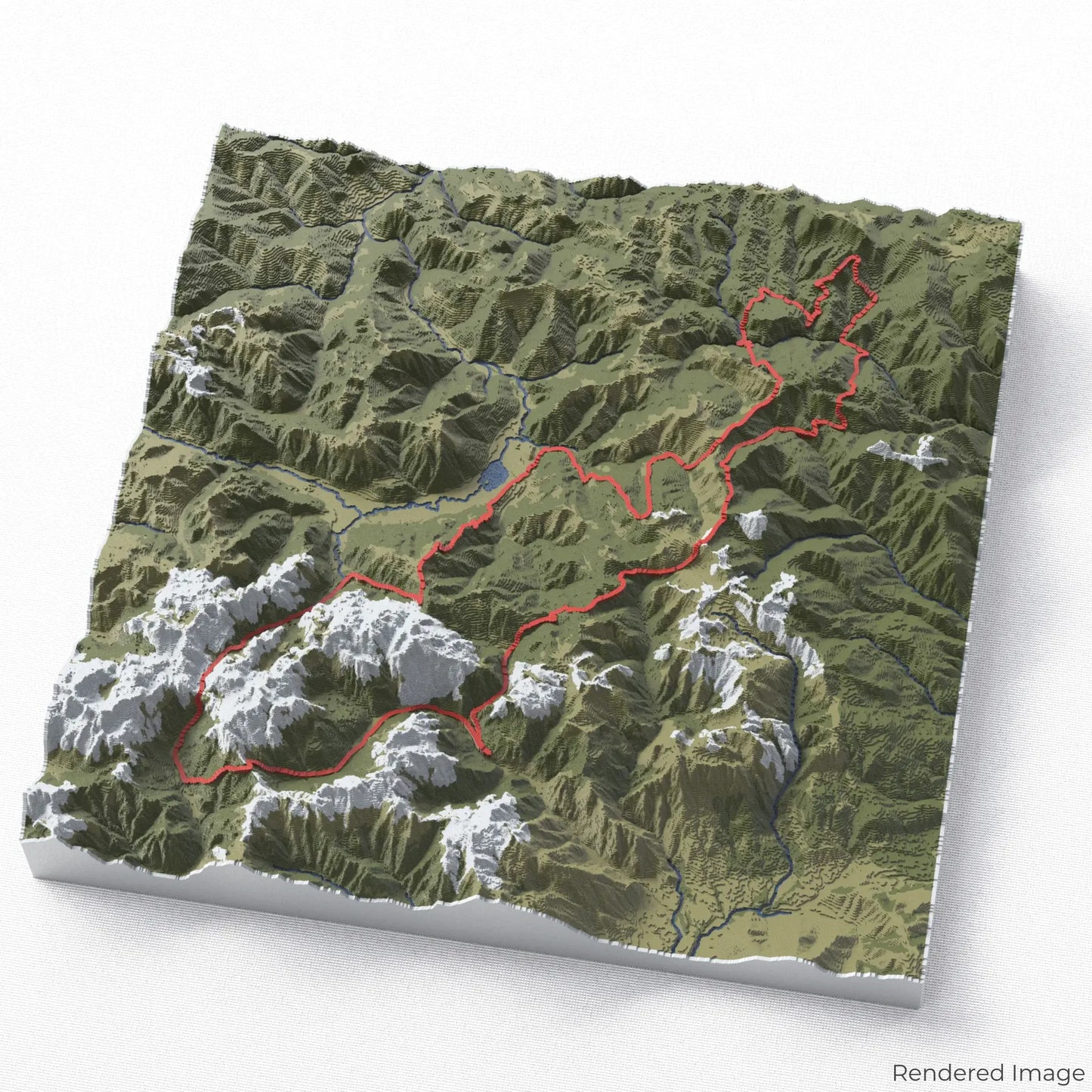
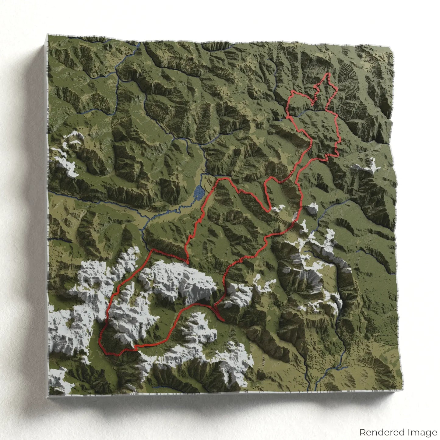
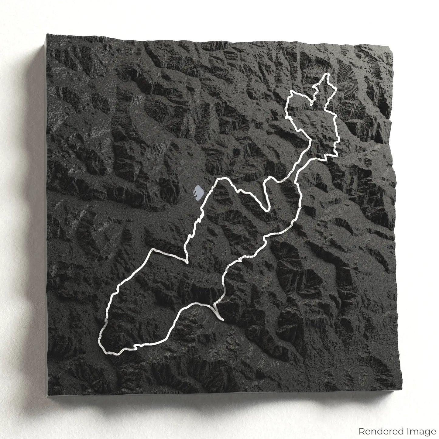
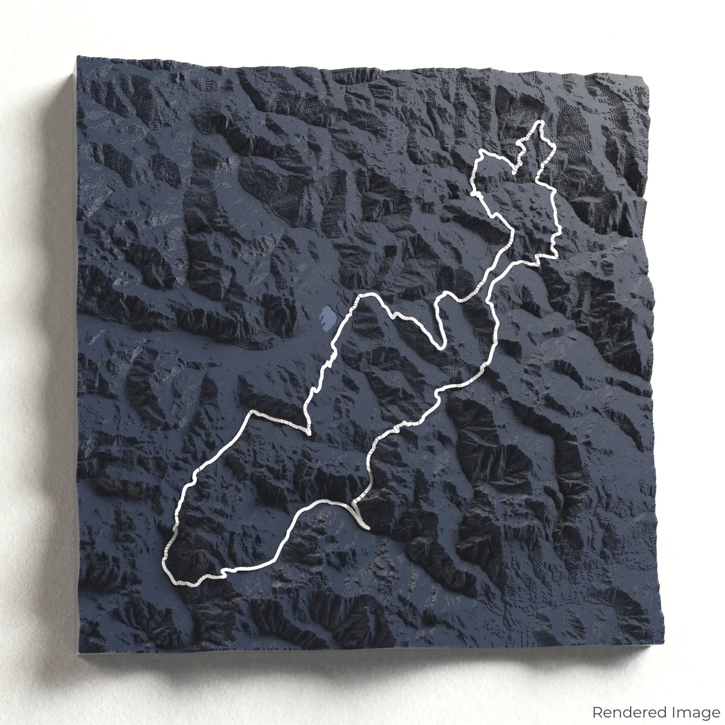
Peaks of the Balkans 3D Map
Peaks of the Balkans 3D Map
ORDERS NOT SHIPPED TILL SEPTEMBER!!!
Couldn't load pickup availability
Trek the Peaks of the Balkans
Step into the wild beauty of the Balkans with our 3D topographic map of the Peaks of the Balkans. This transnational trek leads adventurers through the breathtaking mountains of Albania, Kosovo, and Montenegro.
A Trail Through Three Countries
The Peaks of the Balkans spans approximately 192 kilometres (119 miles), weaving through remote valleys, glacial lakes, and dramatic ridgelines. This unforgettable journey takes you deep into the Accursed Mountains, where alpine meadows and traditional villages offer a glimpse into the rich cultural heritage of the region. Whether you’ve conquered this epic trail or dream of experiencing it, our handcrafted map captures the spirit of the Peaks of the Balkans.
Commemorate Your Mountain Journey
Choose from four striking colour themes and three unique shapes to create a stunning centrepiece for your wall or table. This handcrafted map is the perfect way to celebrate your Peaks of the Balkans adventure or as a thoughtful gift for fellow explorers.
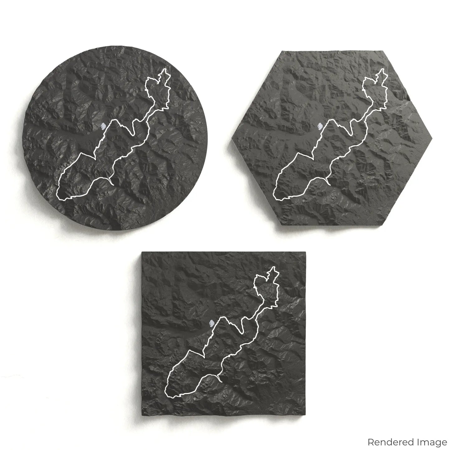
Select the Perfect Size and Shape
Circle: 222 x 222 x 28 mm (8.7 x 8.7 x 1.1 inches)
Hexagon: 242 x 212 x 28 mm (9.6 x 8.3 x 1.1 inches)
Square: 198 x 198 x 28 mm (7.8 x 7.8 x 1.1 inches)
Crafted with Precision and Detail
Our maps are meticulously designed using advanced colour 3D printing technology and PLA, a durable and plant-based plastic.
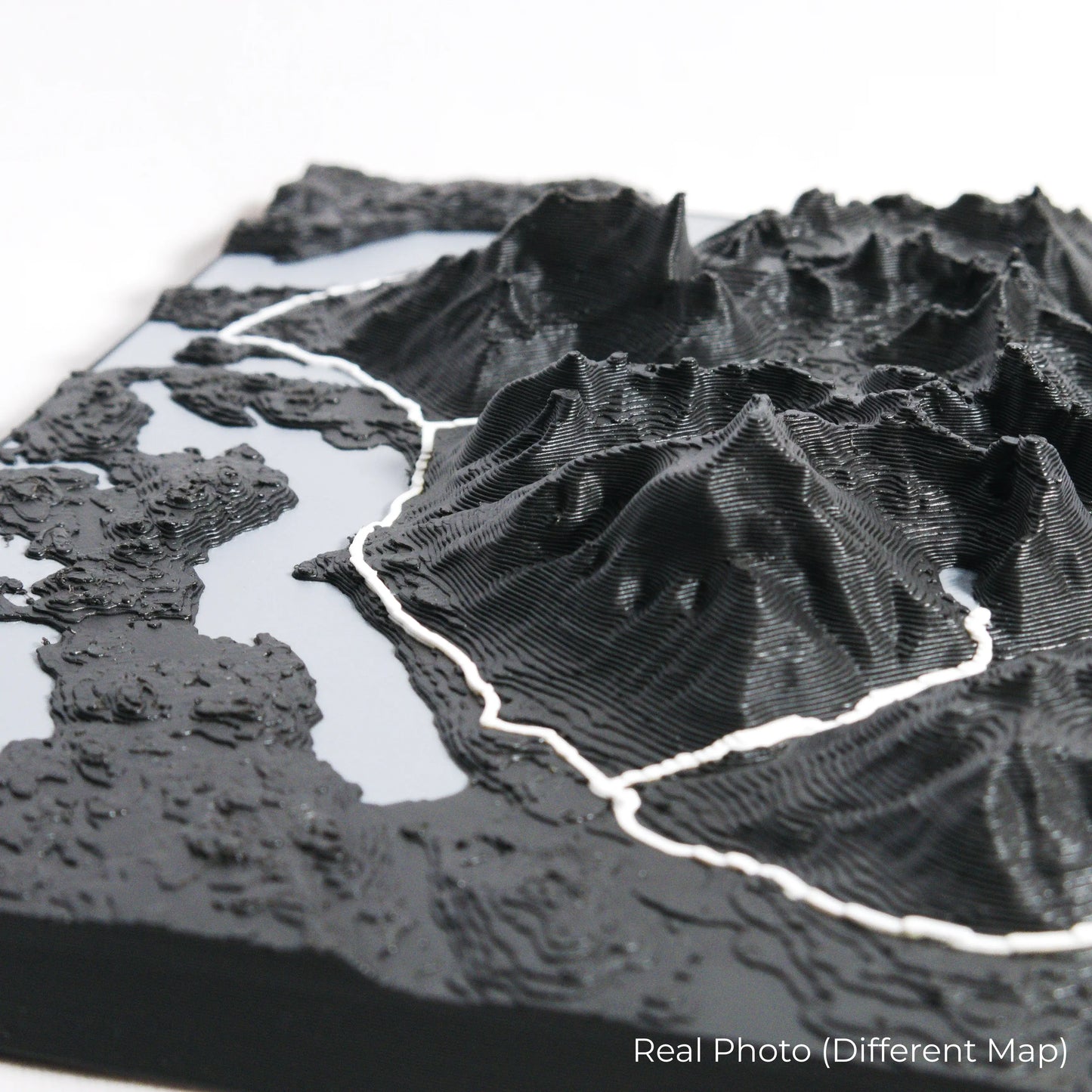
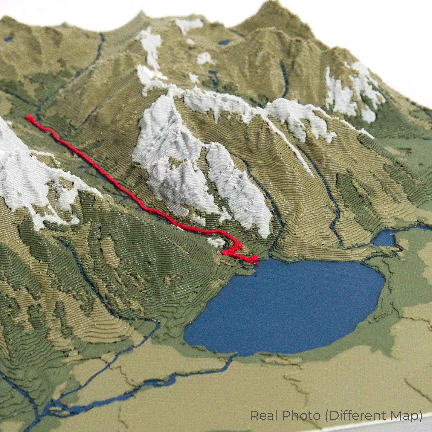
Please Note: Some product photos are digitally rendered for illustrative purposes and are labelled as "Rendered Image" for clarity. The actual product may show slight variations and natural imperfections due to the 3D printing process and material properties.
Bring the Accursed Mountains Home
Celebrate your love for the Balkans’ wild landscapes with this one-of-a-kind keepsake. Whether you're reminiscing about past treks or planning your next cross-border adventure, this 3D map is a tribute to the stunning beauty of the Peaks of the Balkans.
Order now and let us create a memento as unforgettable as your journey!
Data Sources
Our maps are created using high-precision topographic data from the following sources:
OpenStreetMap: openstreetmap.org/copyright
Copernicus WorldDEM-30: Produced using Copernicus WorldDEM-30 © DLR e.V. 2010-2014 and © Airbus Defence and Space GmbH 2014-2018, provided under COPERNICUS by the European Union and ESA; all rights reserved.
Share