Mapped3D 3D Printed Maps Auckland, New Zealand
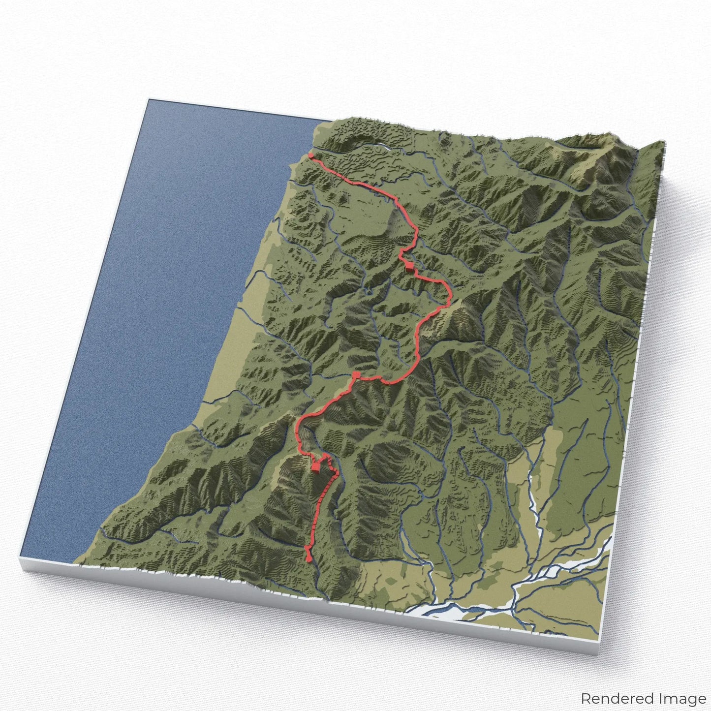
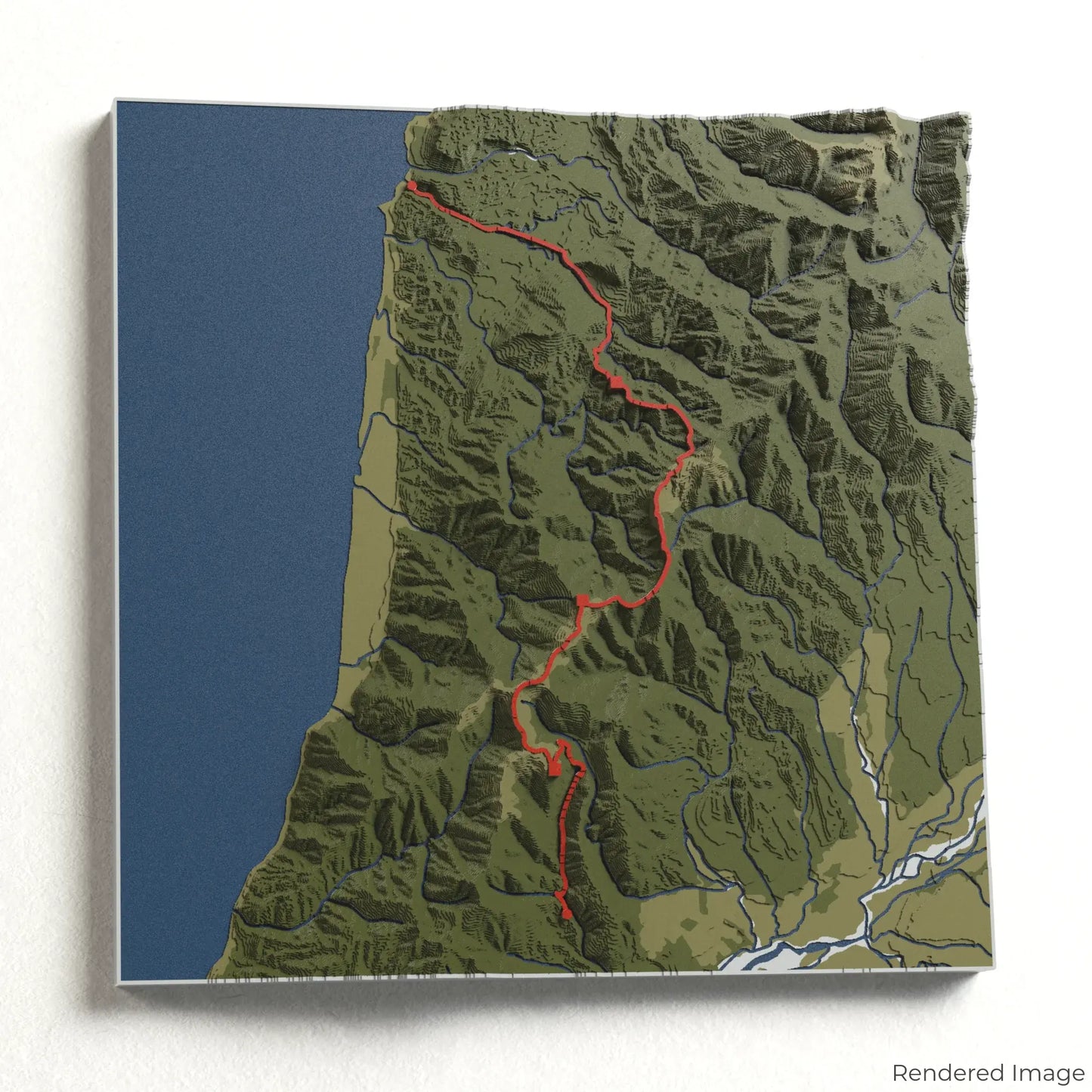
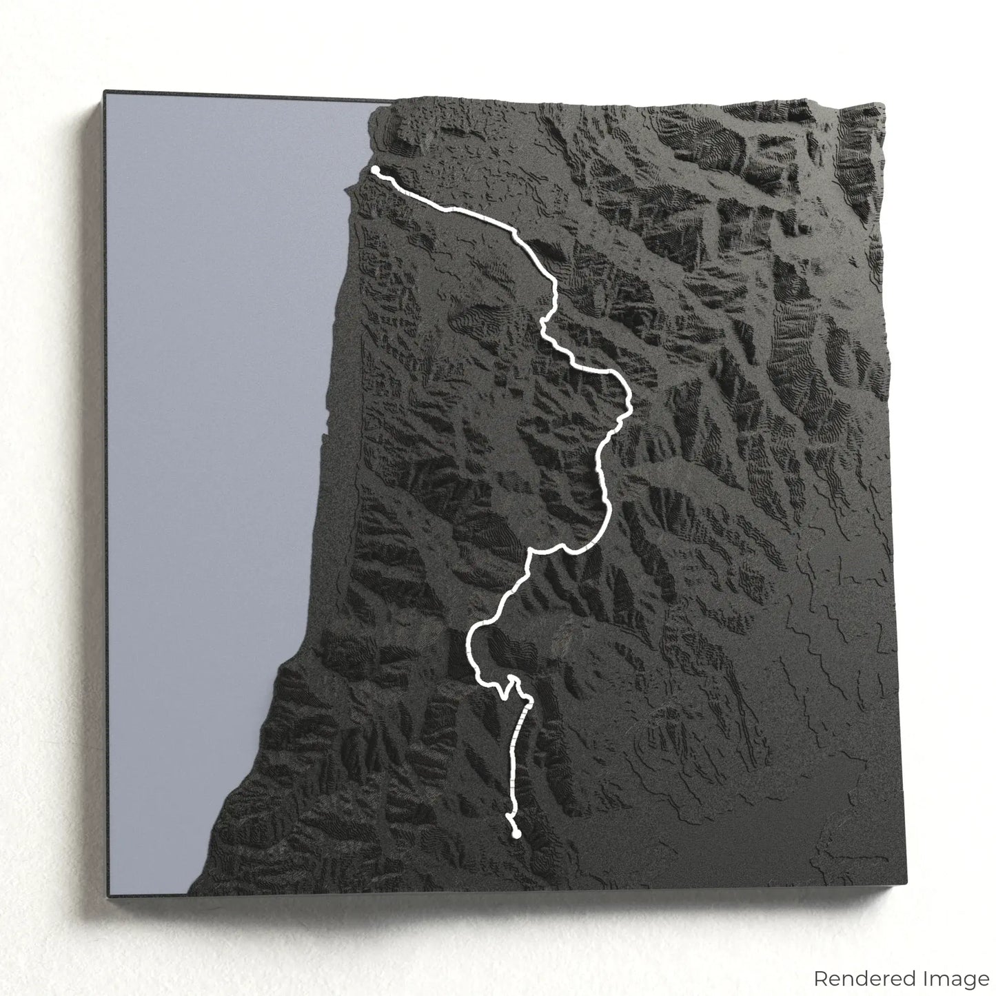
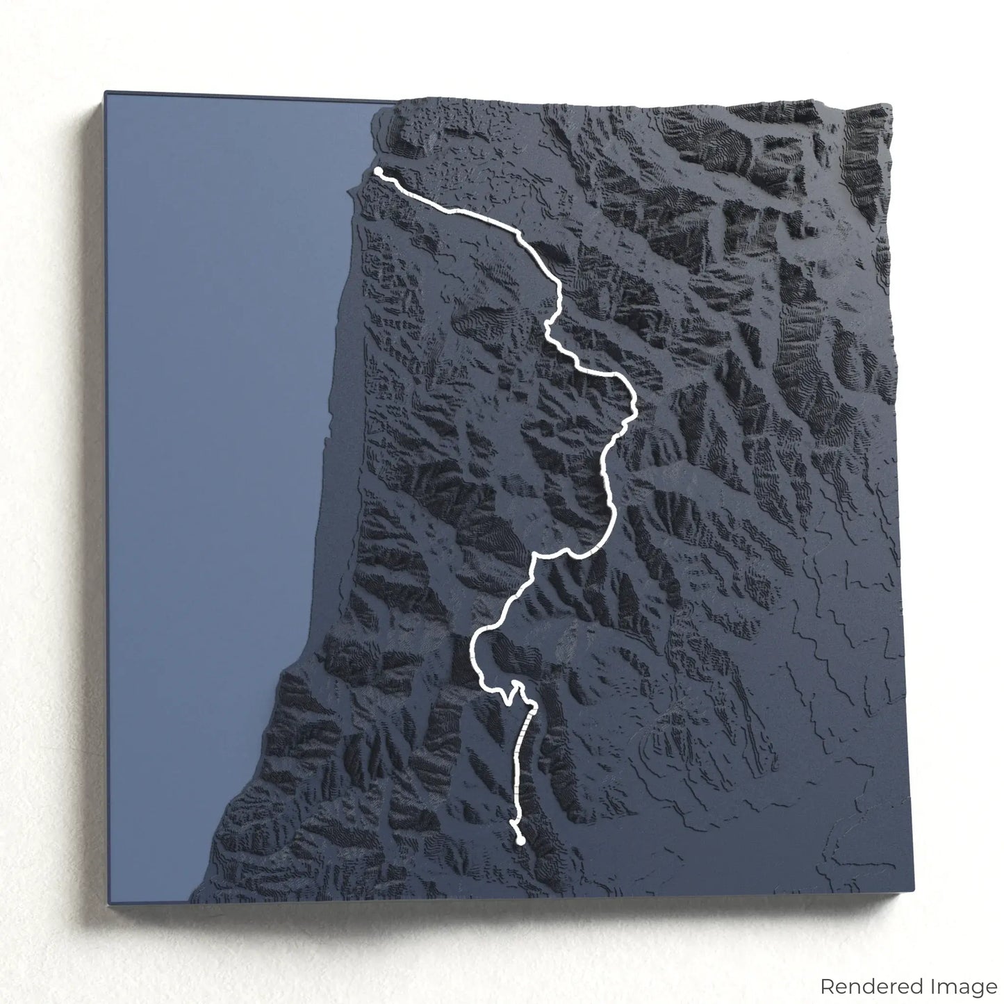
Paparoa Track 3D Map
Paparoa Track 3D Map
ORDERS NOT SHIPPED TILL SEPTEMBER!!!
Couldn't load pickup availability
Experience the Wild Beauty of the Paparoa Track
Venture into the heart of New Zealand’s rugged West Coast with our 3D topographic map of the Paparoa Track. This breathtaking Great Walk takes you through limestone gorges, lush rainforests, and along towering ridgelines with sweeping coastal views.
A Journey Through Diverse Landscapes
The Paparoa Track spans approximately 55 kilometres (34 miles), leading hikers and mountain bikers from Blackball to Punakaiki. The trail traverses alpine peaks, deep river valleys, and ancient forests before descending to the stunning Pancake Rocks and the roaring Tasman Sea. Whether you’ve experienced this remarkable route or dream of exploring it, our handcrafted map captures the essence of the Paparoa Track.
Commemorate Your West Coast Adventure
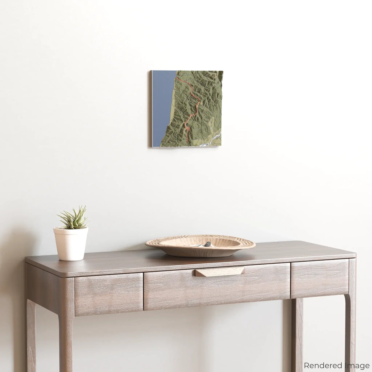
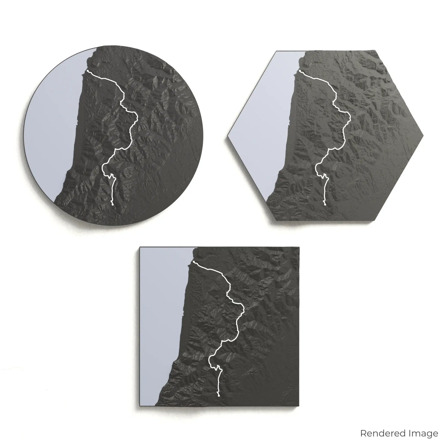
Choose from four striking colour themes and three unique shapes to create a stunning centrepiece for your wall or table. This handcrafted map is the perfect way to celebrate your Paparoa Track journey or as a thoughtful gift for fellow outdoor enthusiasts.
Find the Perfect Fit for Your Space
Circle: 222 x 222 x 23 mm (8.7 x 8.7 x 0.9 inches)
Hexagon: 242 x 212 x 23 mm (9.5 x 8.3 x 0.9 inches)
Square: 198 x 198 x 23 mm (7.8 x 7.8 x 0.9 inches)
Designed with Precision and Detail
Our maps are meticulously crafted using advanced colour 3D printing technology and PLA, a durable and plant-based plastic.
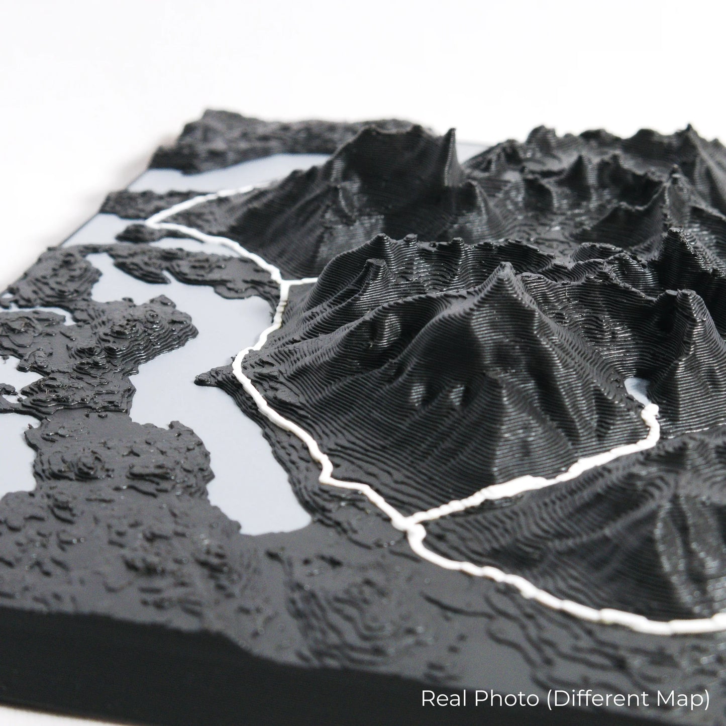
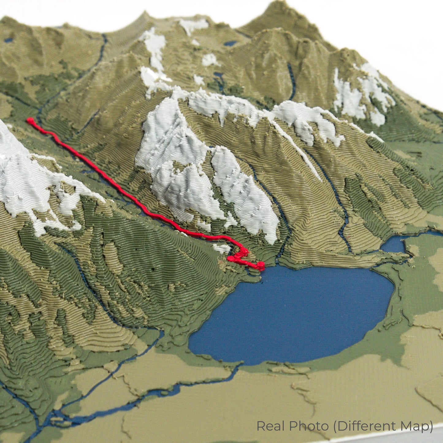
Please Note: Some product photos are digitally rendered for illustrative purposes and are labelled as "Rendered Image" for clarity. The actual product may show slight variations and natural imperfections due to the 3D printing process and material properties.
Bring the Spirit of the Paparoa Ranges Home
Celebrate your love for New Zealand’s rugged wilderness with this one-of-a-kind keepsake. Whether you're reminiscing about past adventures or planning your next trek, this 3D map is a tribute to the untamed beauty of the Paparoa Track.
Order now and let us create a memento as unforgettable as your journey!
Data Sources
Our maps are created using high-precision topographic data from the following sources:
OpenStreetMap: openstreetmap.org/copyright
Copernicus WorldDEM-30: Produced using Copernicus WorldDEM-30 © DLR e.V. 2010-2014 and © Airbus Defence and Space GmbH 2014-2018, provided under COPERNICUS by the European Union and ESA; all rights reserved.
Share