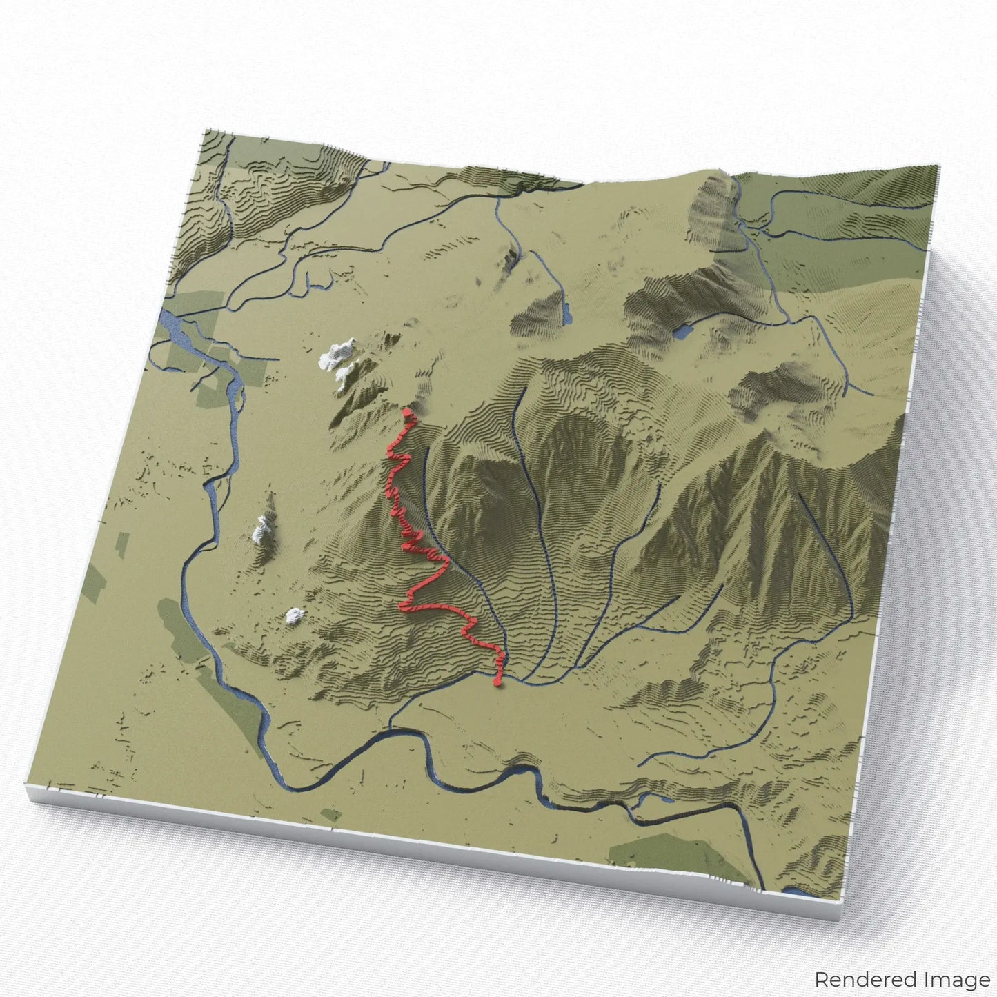
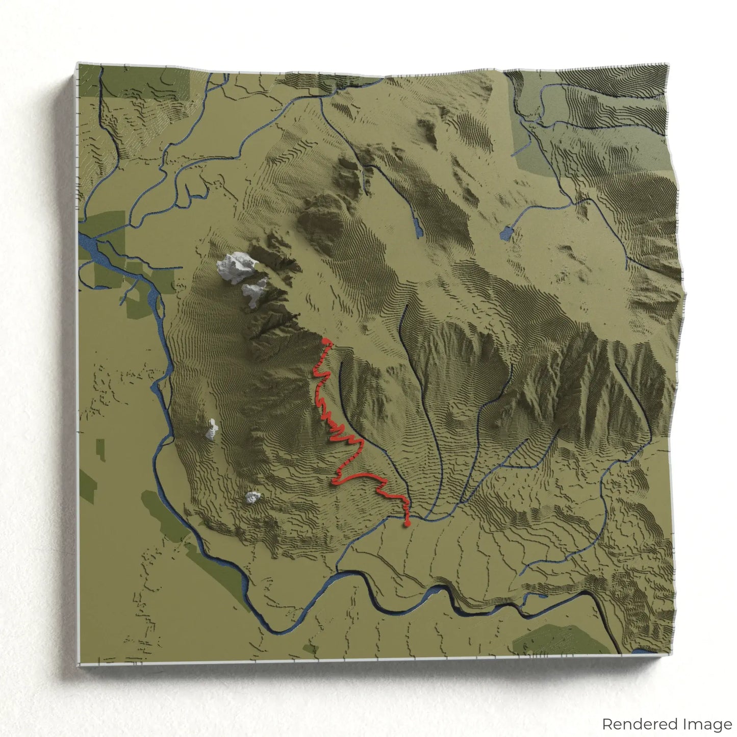
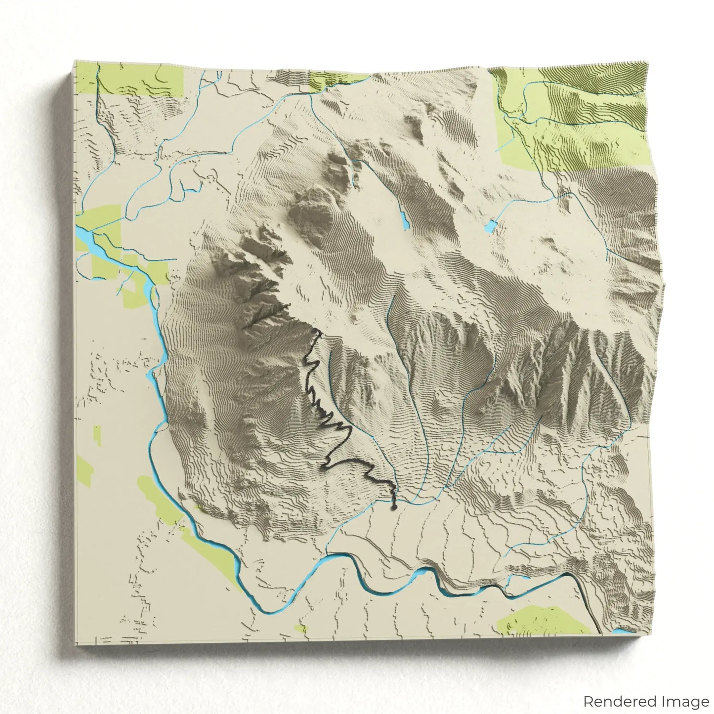
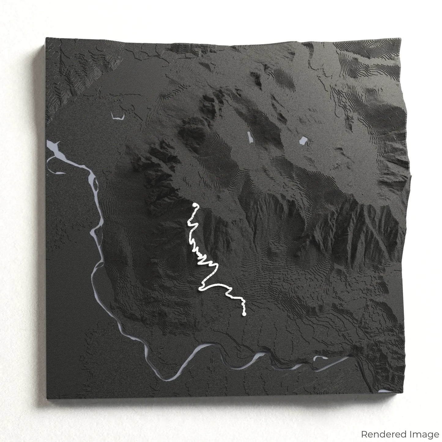
Conquer the Mount Si Trail
Take on one of Washington’s most popular and rewarding hikes with our 3D topographic map of the Mount Si Trail. This iconic trail offers a steep and scenic climb with breathtaking views of the Cascade Range.
A Trail of Forests and Panoramic Views
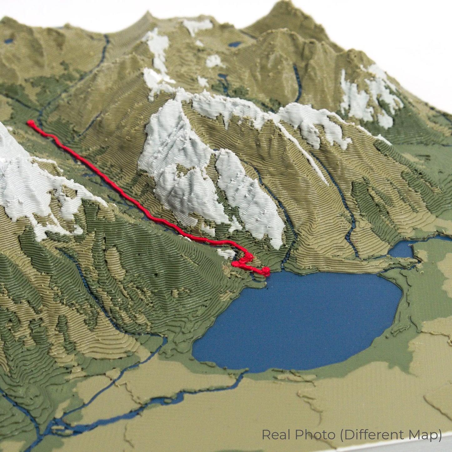
The Mount Si Trail stretches approximately 13 kilometres (8 miles) round trip, leading hikers through dense forests of towering evergreens before reaching the rocky summit. At the peak, enjoy sweeping views of the Puget Sound lowlands, Mount Rainier, and the surrounding mountain ranges. Whether you’ve summited this beloved trail or have it on your hiking bucket list, our handcrafted map captures the spirit of the Mount Si Trail.
Commemorate Your Hiking Journey
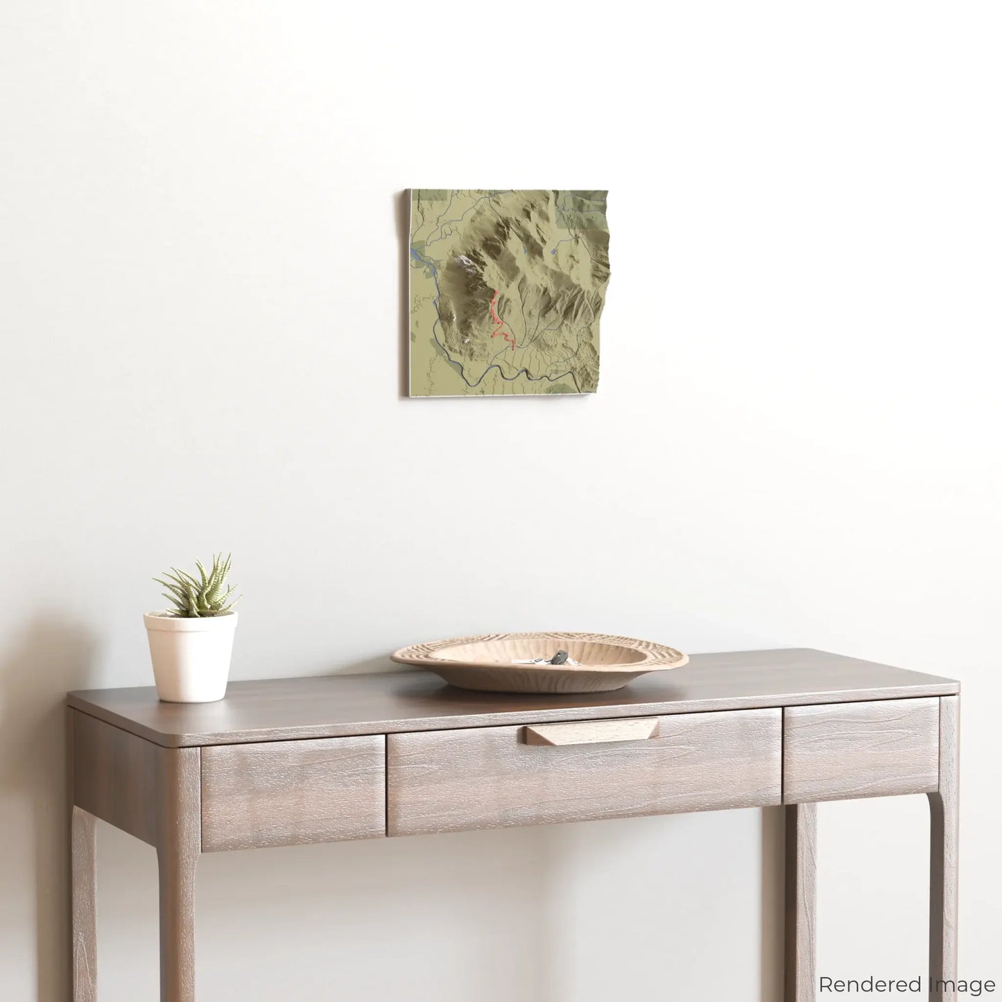
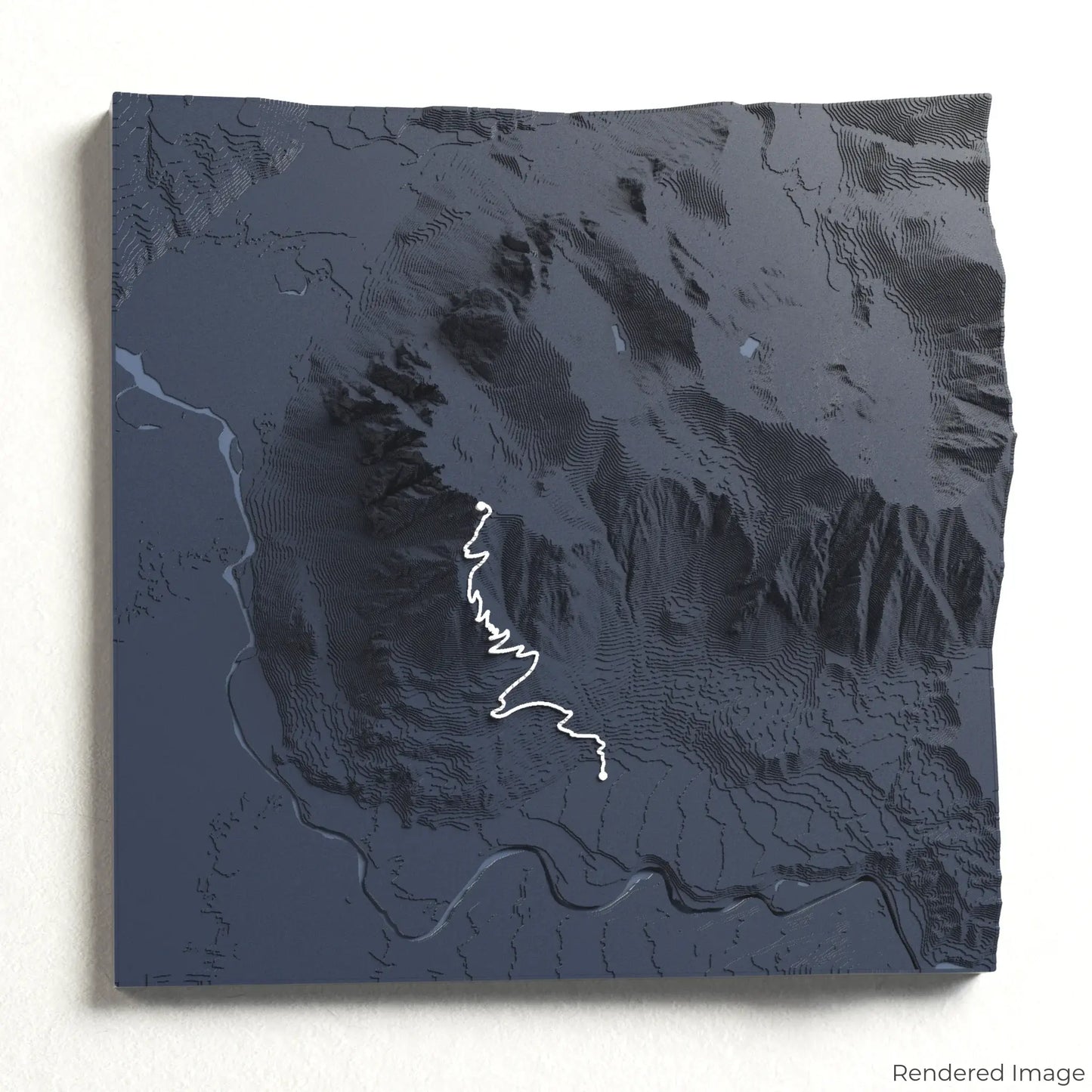
Choose from four striking colour themes and three unique shapes to create a stunning centrepiece for your wall or table. This handcrafted map is the perfect way to celebrate your Mount Si adventure or as a meaningful gift for fellow hikers.
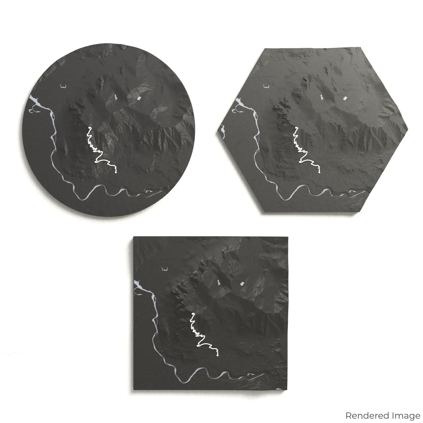
Choose the Ideal Size and Shape
Circle: 222 x 222 x 42 mm (8.7 x 8.7 x 1.7 inches)
Hexagon: 242 x 212 x 42 mm (9.5 x 8.3 x 1.7 inches)
Square: 198 x 198 x 42 mm (7.8 x 7.8 x 1.7 inches)
Crafted for Detail and Durability
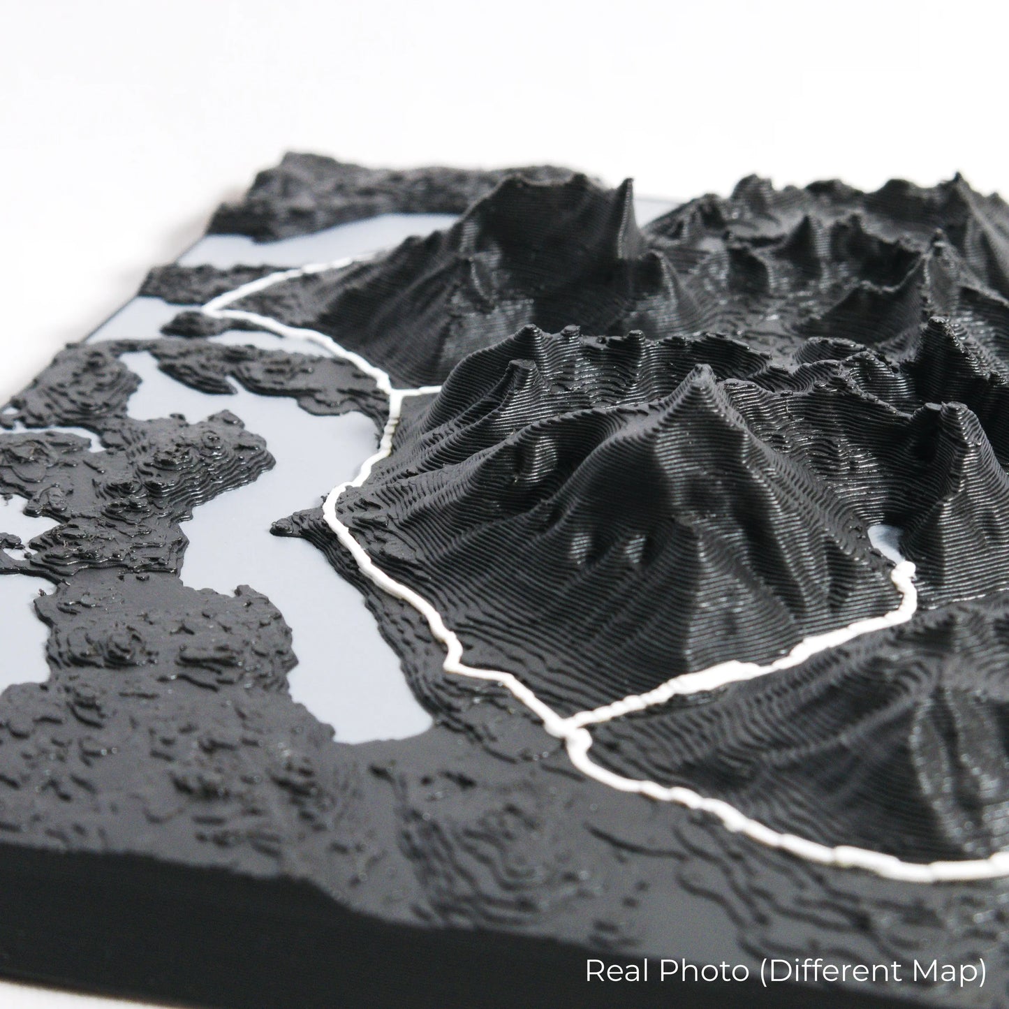
Our maps are meticulously designed using advanced colour 3D printing technology and PLA, a durable and plant-based plastic.
Please Note: Some product photos are digitally rendered for illustrative purposes and are labelled as "Rendered Image" for clarity. The actual product may show slight variations and natural imperfections due to the 3D printing process and material properties.
Bring the Beauty of the Cascades Home
Celebrate your love for Washington’s great outdoors with this one-of-a-kind keepsake. Whether you're reminiscing about past treks or planning your next challenge, this 3D map is a tribute to the natural beauty of the Mount Si Trail.
Order now and let us create a memento as unforgettable as your journey!
Data Sources
Our maps are created using high-precision topographic data from the following sources:
OpenStreetMap: openstreetmap.org/copyright
Copernicus WorldDEM-30: Produced using Copernicus WorldDEM-30 © DLR e.V. 2010-2014 and © Airbus Defence and Space GmbH 2014-2018, provided under COPERNICUS by the European Union and ESA; all rights reserved.