Mapped3D 3D Printed Maps Auckland, New Zealand
Mount Roraima Trek 3D Map
Mount Roraima Trek 3D Map
ORDERS NOT SHIPPED TILL SEPTEMBER!!!
Couldn't load pickup availability
Conquer the Lost World of Mount Roraima
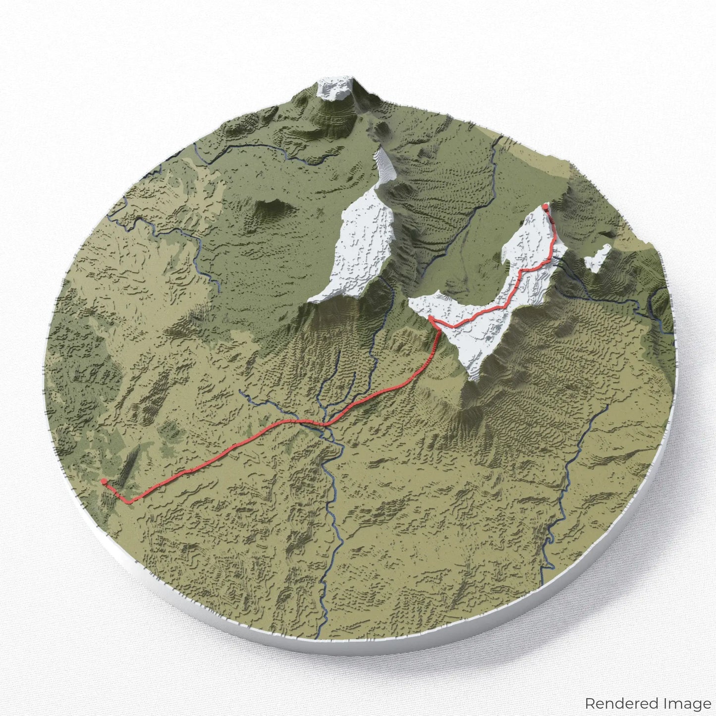
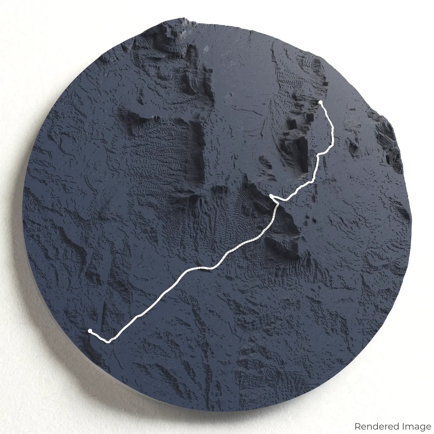
Step into a world of prehistoric landscapes with our 3D topographic map of the Mount Roraima Trek. This awe-inspiring tabletop mountain, towering above the Amazon rainforest, offers one of the most unique and breathtaking trekking experiences on Earth.
An Epic Trek Through Ancient Terrain
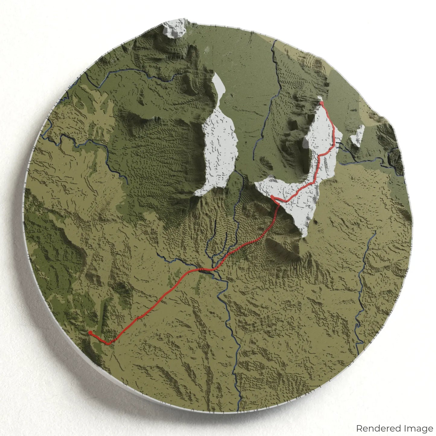
The Mount Roraima Trek spans approximately 90 kilometres (56 miles), leading hikers through lush savannah, dense cloud forests, and up the sheer cliffs of the tepui. At the summit, explore surreal rock formations, quartz-lined pools, and mist-covered plateaus that inspired tales of lost worlds. Whether you've completed this legendary trek or dream of embarking on it, our handcrafted map captures the grandeur of Mount Roraima.
Personalise Your Ultimate Adventure Keepsake
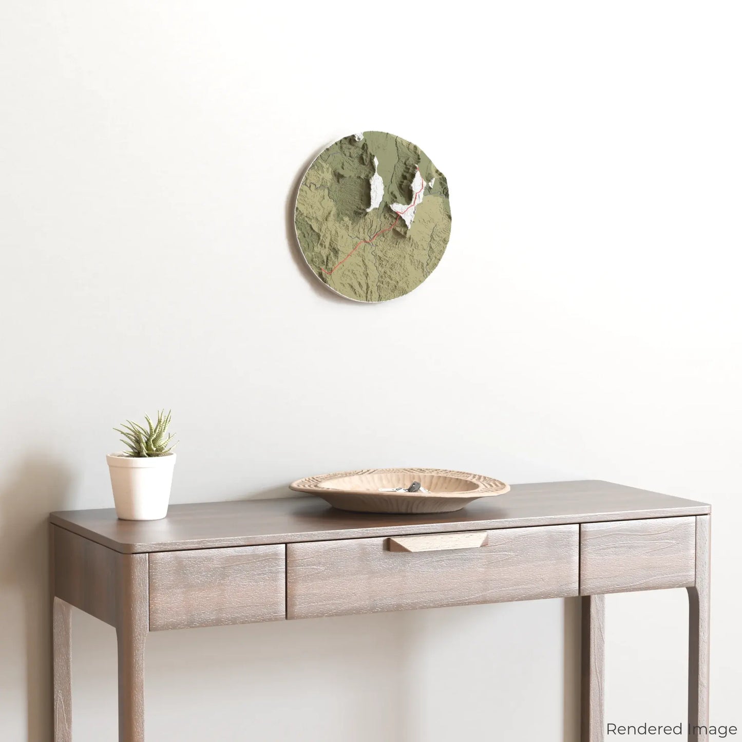
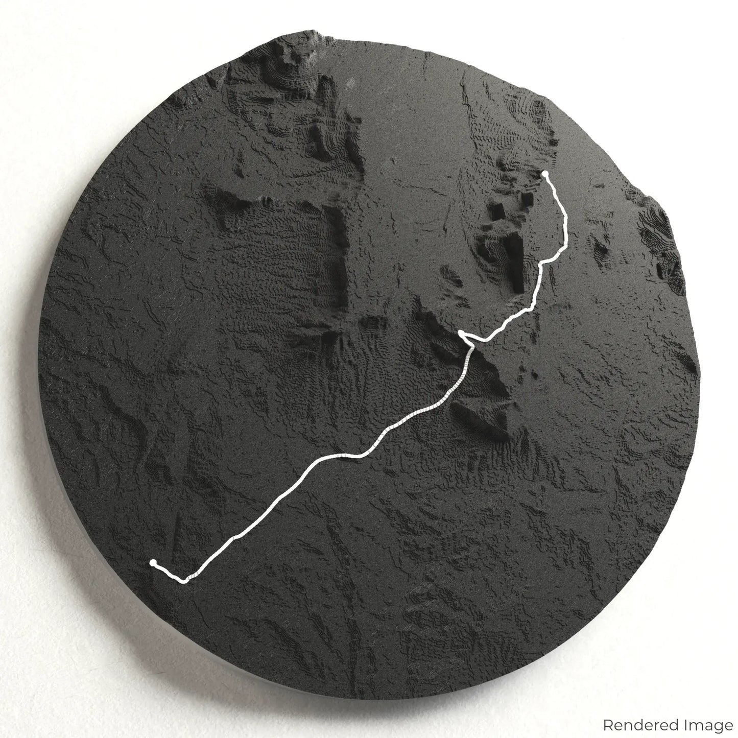
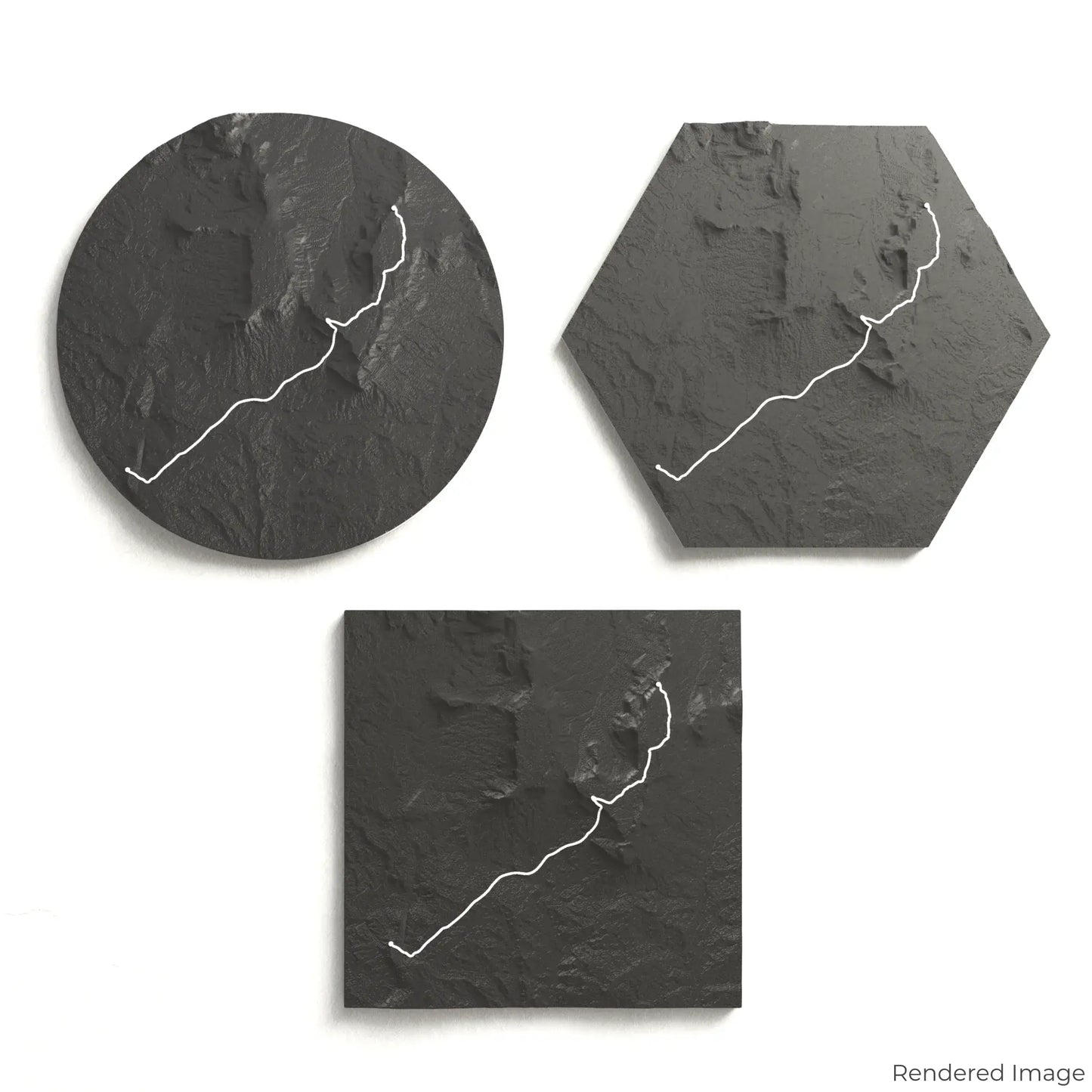
Choose from four striking colour themes and three unique shapes to create a stunning centrepiece for your wall or table. This handcrafted map is the perfect way to celebrate your Mount Roraima adventure or as a meaningful gift for fellow explorers.
Pick the Perfect Fit for Your Space
Circle: 222 x 222 x 31 mm (8.7 x 8.7 x 1.2 inches)
Hexagon: 242 x 212 x 31 mm (9.6 x 8.3 x 1.2 inches)
Square: 198 x 198 x 31 mm (7.8 x 7.8 x 1.2 inches)
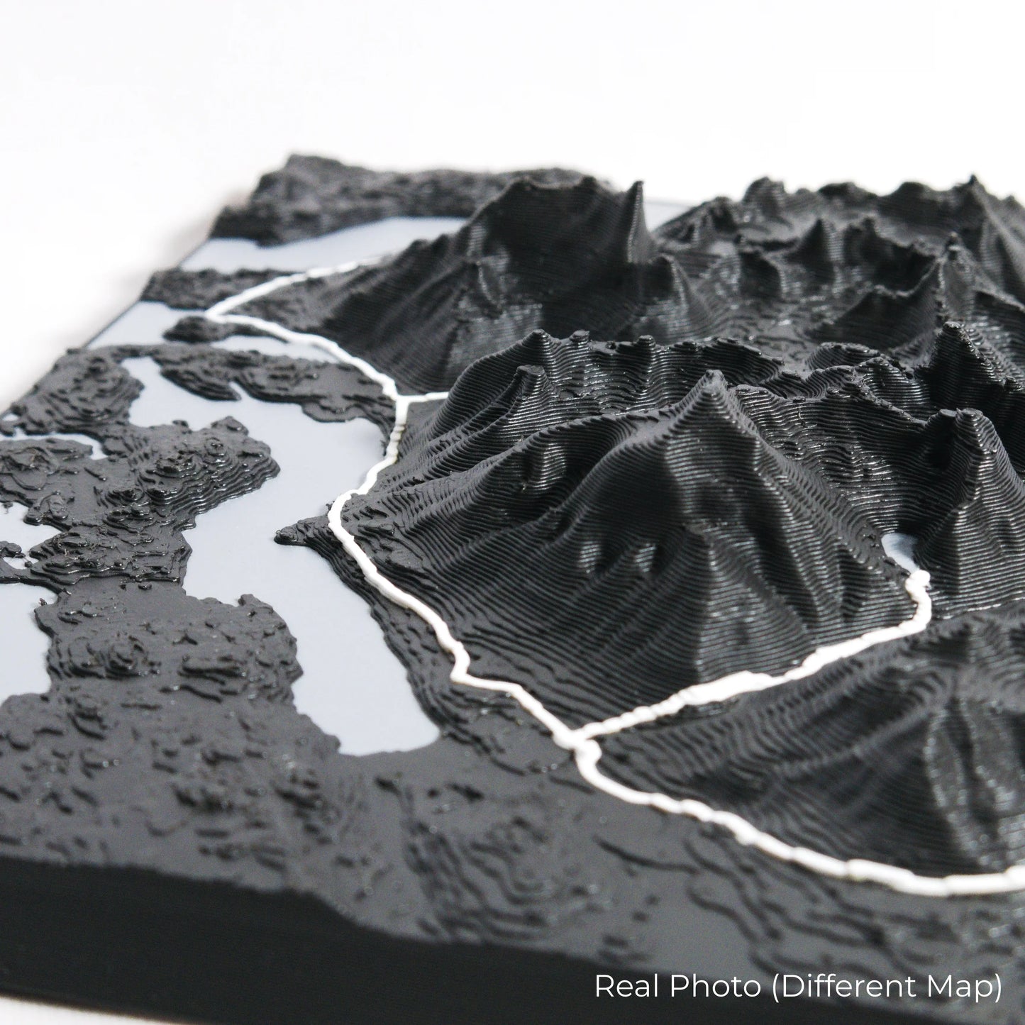
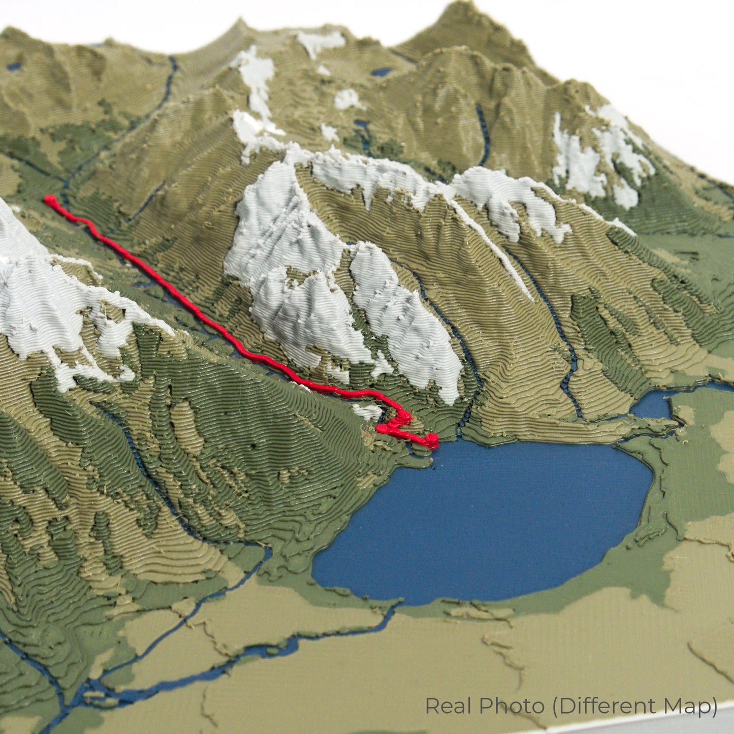
Precision Craftsmanship with Stunning Detail
Our maps are meticulously designed using advanced colour 3D printing technology and PLA, a durable and plant-based plastic.
Please Note: Some product photos are digitally rendered for illustrative purposes and are labelled as "Rendered Image" for clarity. The actual product may show slight variations and natural imperfections due to the 3D printing process and material properties.
Bring the Mystical Tepui Home
Celebrate your love for exploration with this one-of-a-kind keepsake. Whether you're reminiscing about past treks or planning your next expedition, this 3D map is a tribute to the otherworldly landscapes of the Mount Roraima Trek.
Order now and let us create a memento as unforgettable as your journey!
Data Sources
Our maps are created using high-precision topographic data from the following sources:
OpenStreetMap: openstreetmap.org/copyright
Copernicus WorldDEM-30: Produced using Copernicus WorldDEM-30 © DLR e.V. 2010-2014 and © Airbus Defence and Space GmbH 2014-2018, provided under COPERNICUS by the European Union and ESA; all rights reserved.
Share