Mapped3D 3D Printed Maps Auckland, New Zealand
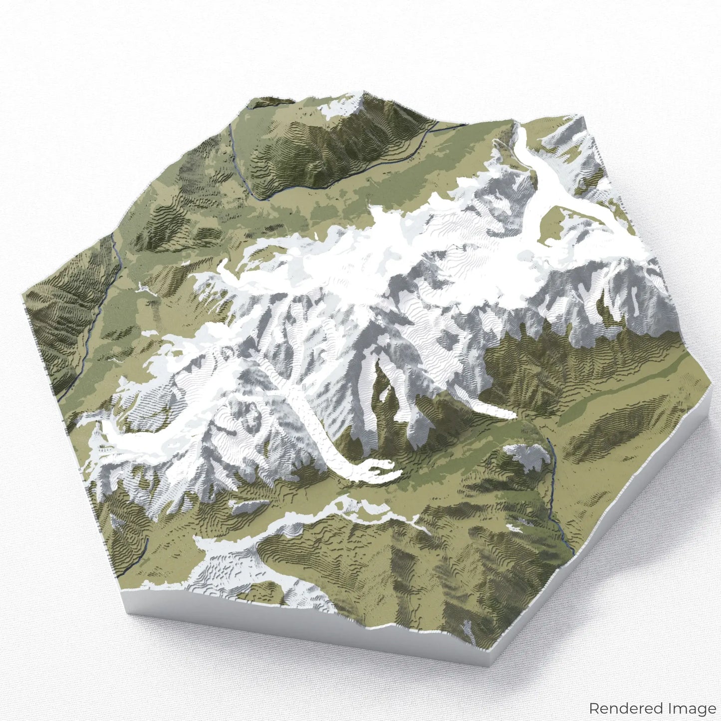
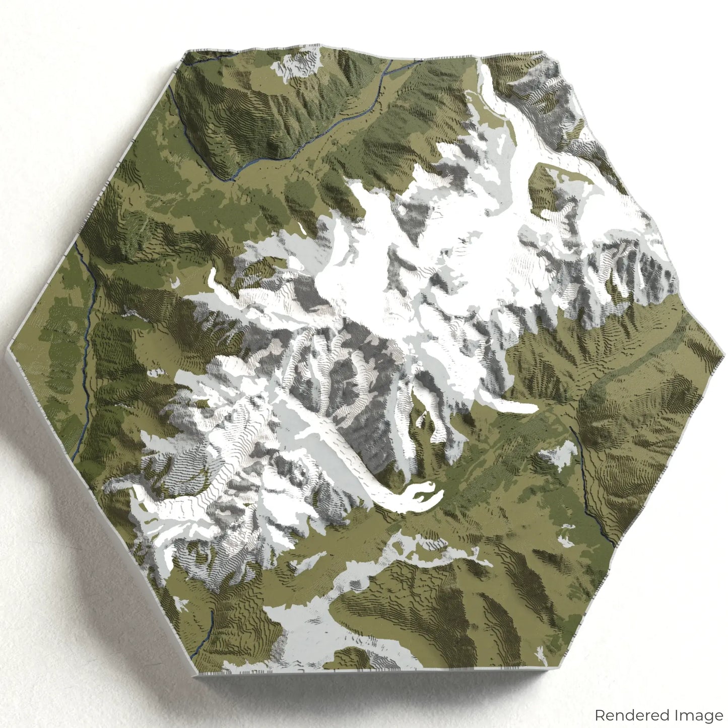
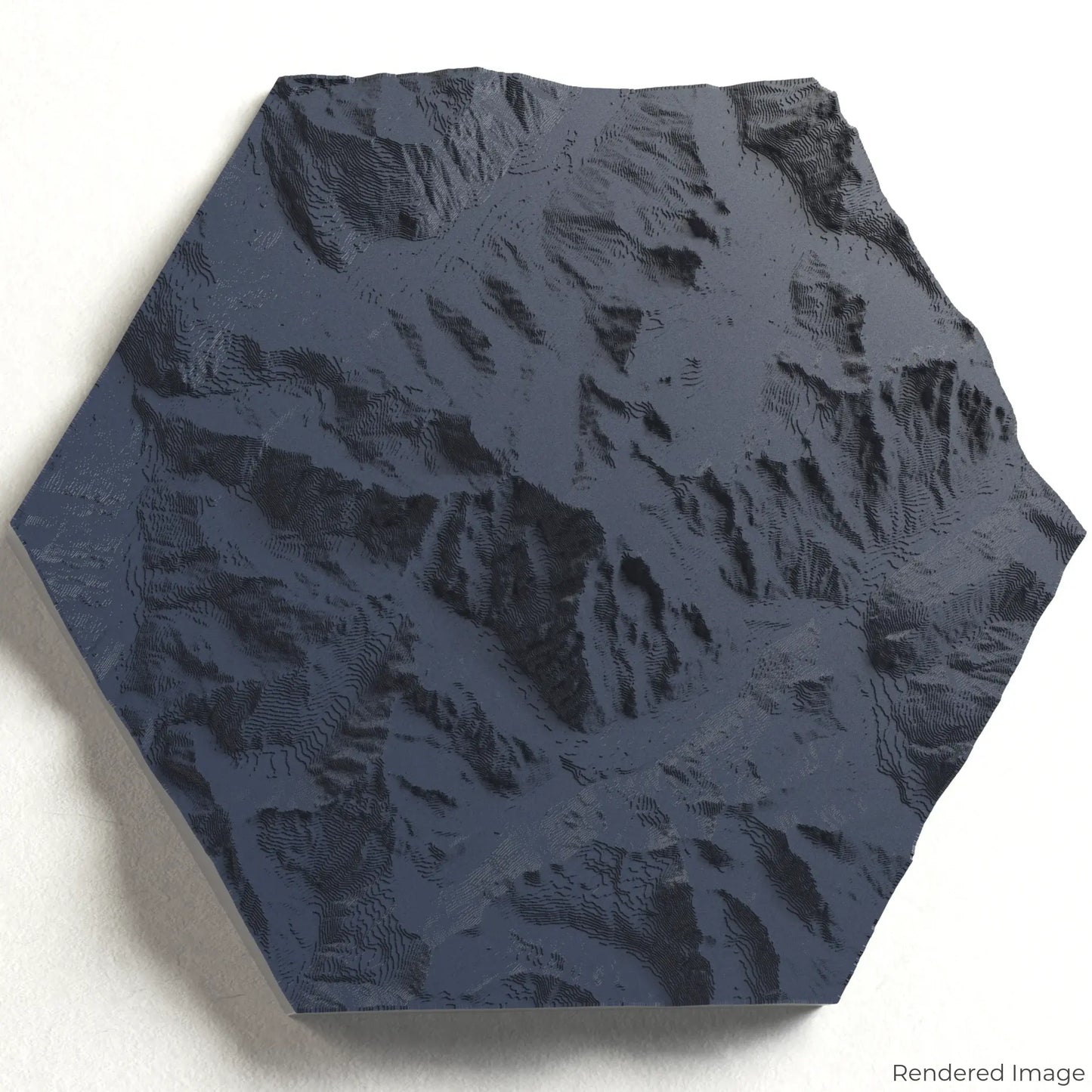
Mont Blanc Massif 3D Map
Mont Blanc Massif 3D Map
ORDERS NOT SHIPPED TILL SEPTEMBER!!!
Couldn't load pickup availability
Explore the Mont Blanc Massif
Experience the breathtaking grandeur of the Alps with our 3D topographic map of the Mont Blanc Massif. This iconic mountain range captivates with its snow-capped peaks, deep valleys, and panoramic vistas.
A Journey Through Alpine Majesty
The Mont Blanc Massif stretches across approximately 400 square kilometres, spanning France, Italy, and Switzerland. The region is home to Europe’s highest peak, Mont Blanc, at 4,809 metres (15,778 feet). From the Mer de Glace glacier to the dramatic Aiguille du Midi, this landscape is a paradise for hikers, climbers, and nature enthusiasts. Whether you've explored these trails or dream of doing so, our handcrafted map captures the essence of the Mont Blanc Massif.
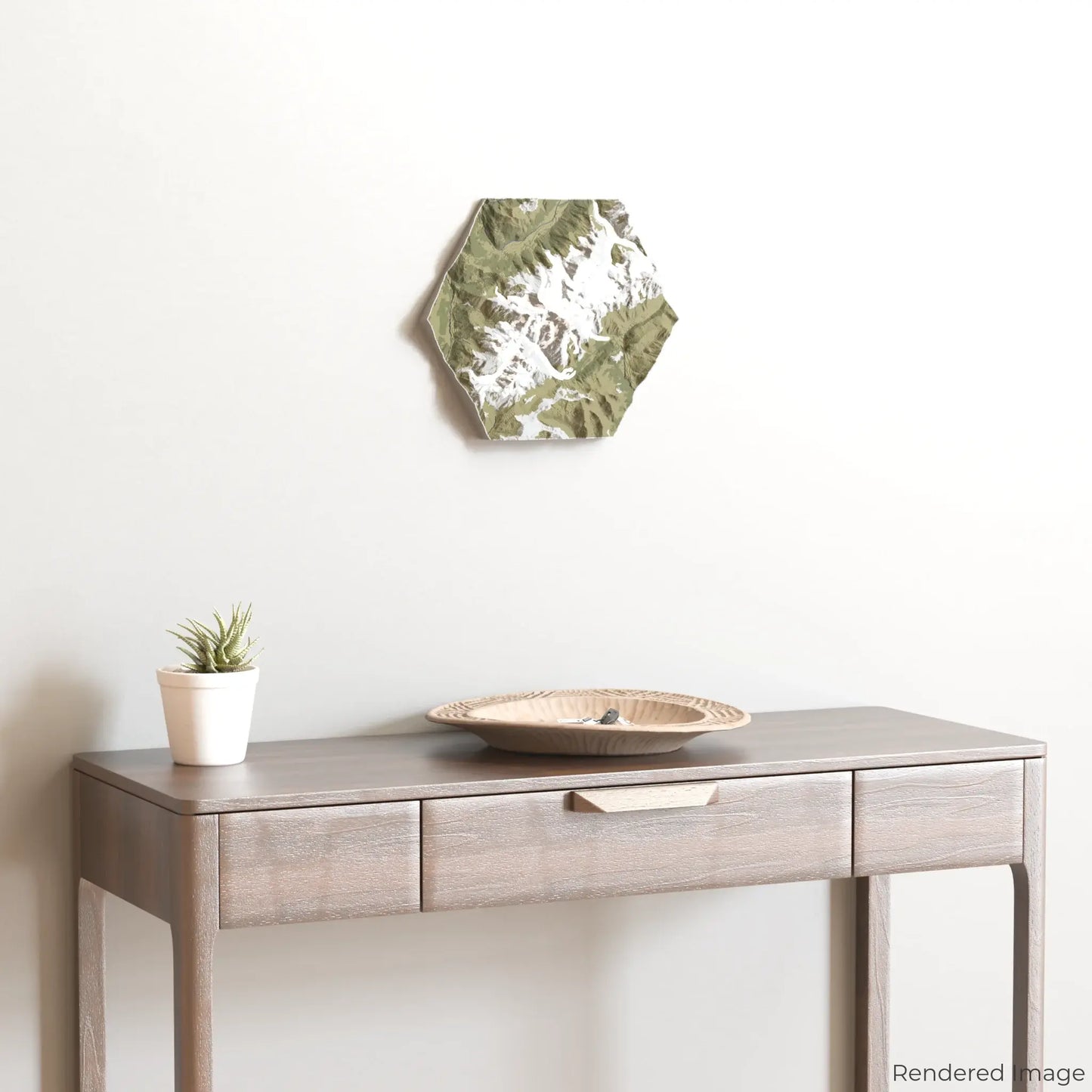
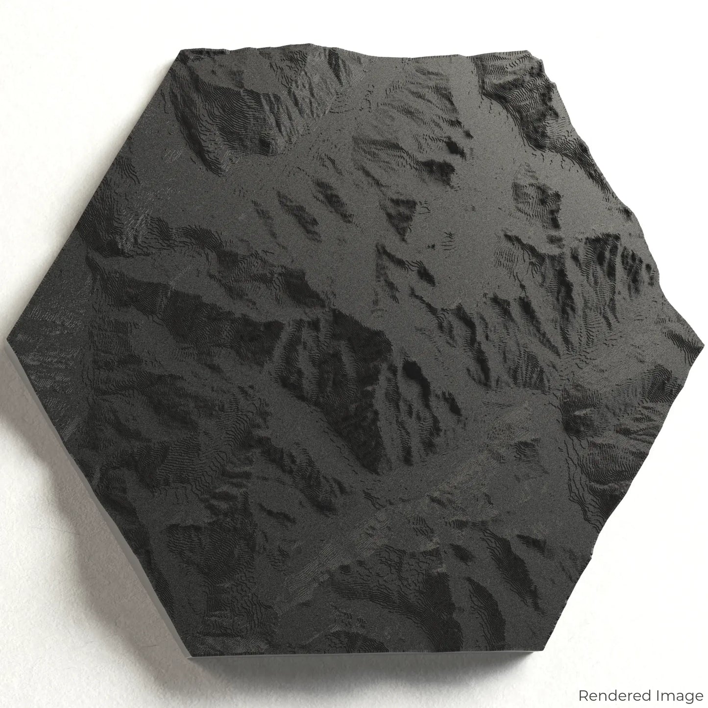
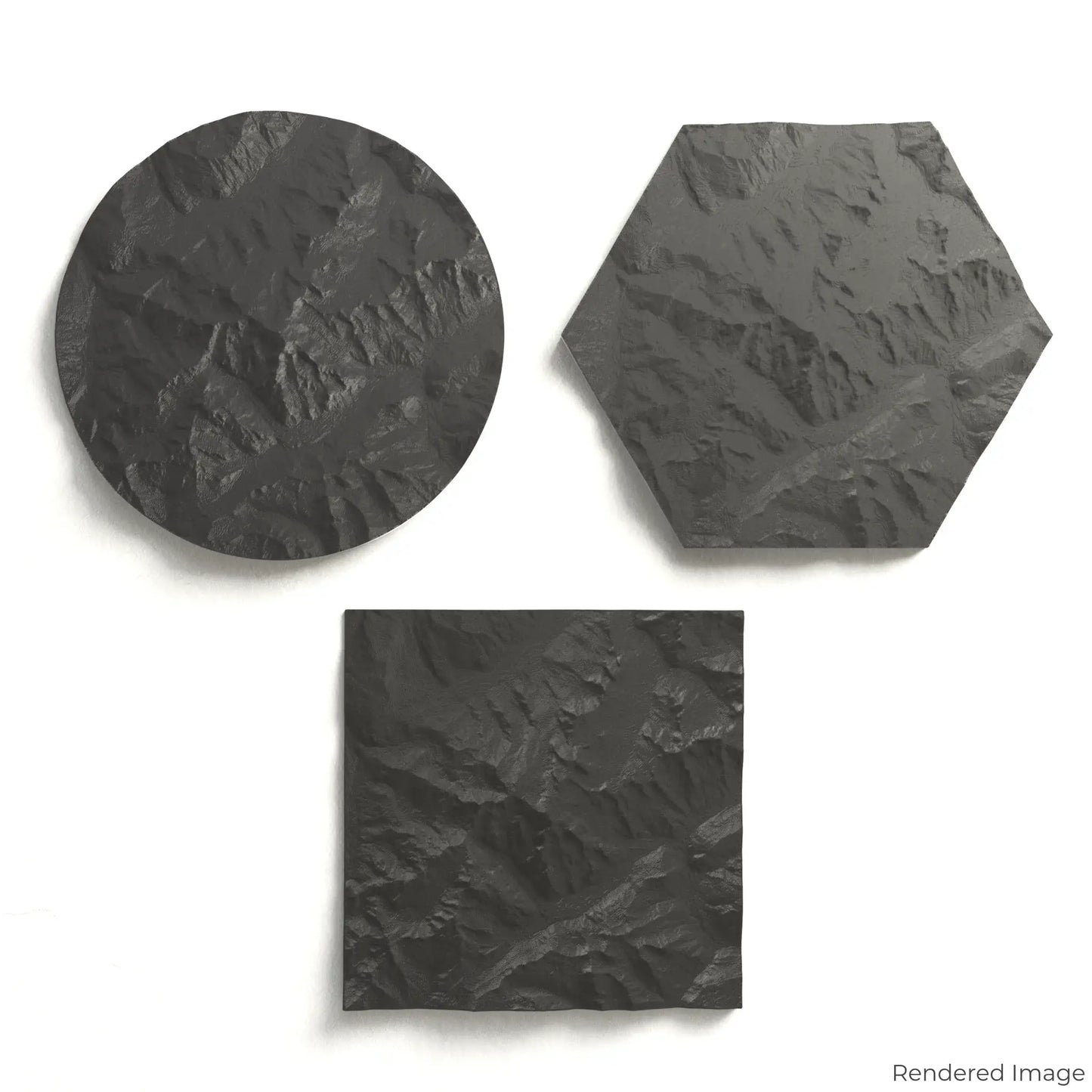
Customise Your Mountain Keepsake
Choose from four striking colour themes and three unique shapes to create an eye-catching centrepiece for your wall or table. This handcrafted map is the perfect way to commemorate your journey through the Mont Blanc Massif or as a thoughtful gift for fellow adventurers.
Available Sizes and Shapes
Circle: 222 x 222 x 41 mm (8.7 x 8.7 x 1.6 inches)
Hexagon: 242 x 212 x 41 mm (9.5 x 8.3 x 1.6 inches)
Square: 198 x 198 x 41 mm (7.8 x 7.8 x 1.6 inches)
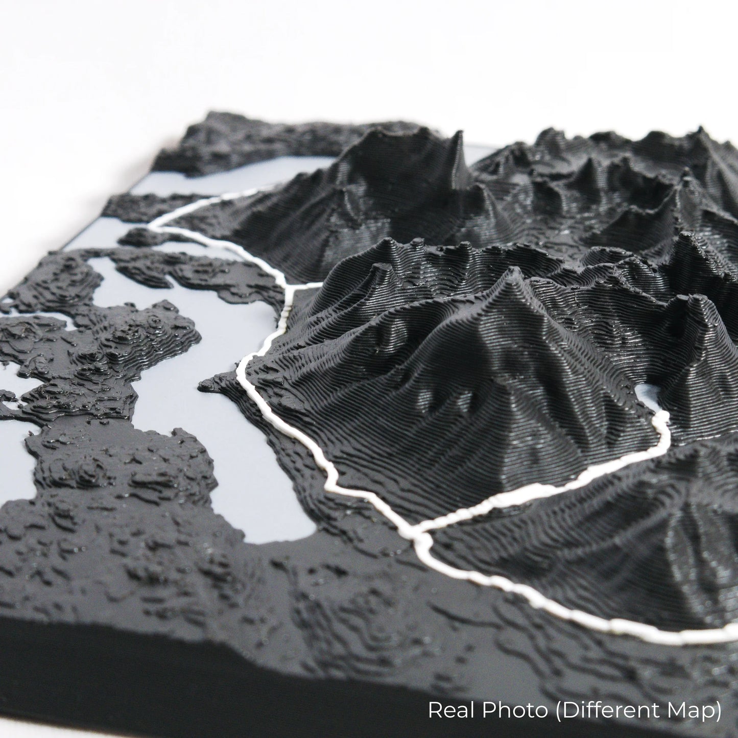
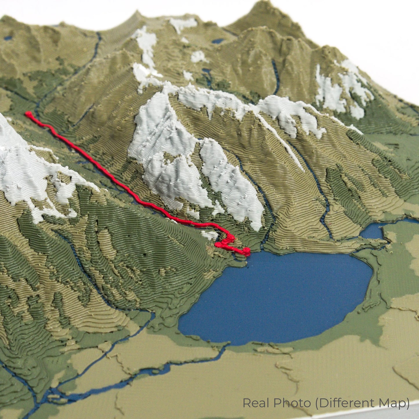
Expert Craftsmanship
Our maps are meticulously crafted using advanced colour 3D printing technology and PLA, a durable and plant-based plastic.
Please Note: Some product photos are digitally rendered for illustrative purposes and are labelled as "Rendered Image" for clarity. The actual product may show slight variations and natural imperfections due to the 3D printing process and material properties.
Bring the Alps Home
Celebrate your love for the Mont Blanc Massif with this one-of-a-kind keepsake. Whether you're reliving cherished memories or planning your next adventure, this 3D map is a testament to the natural beauty of the Alps.
Order now and let us create a memento as unforgettable as your journey!
Data Sources
Our maps are created using high-precision topographic data from the following sources:
OpenStreetMap: openstreetmap.org/copyright
Copernicus WorldDEM-30: Produced using Copernicus WorldDEM-30 © DLR e.V. 2010-2014 and © Airbus Defence and Space GmbH 2014-2018, provided under COPERNICUS by the European Union and ESA; all rights reserved.
Share