Mapped3D 3D Printed Maps Auckland, New Zealand
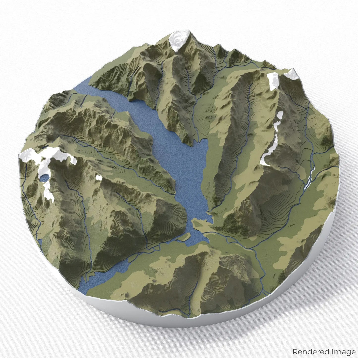
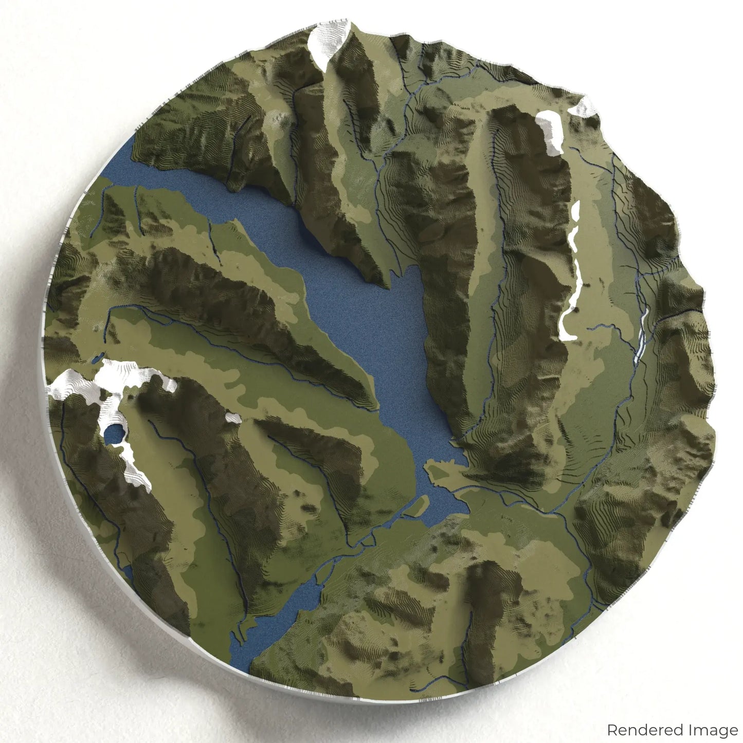
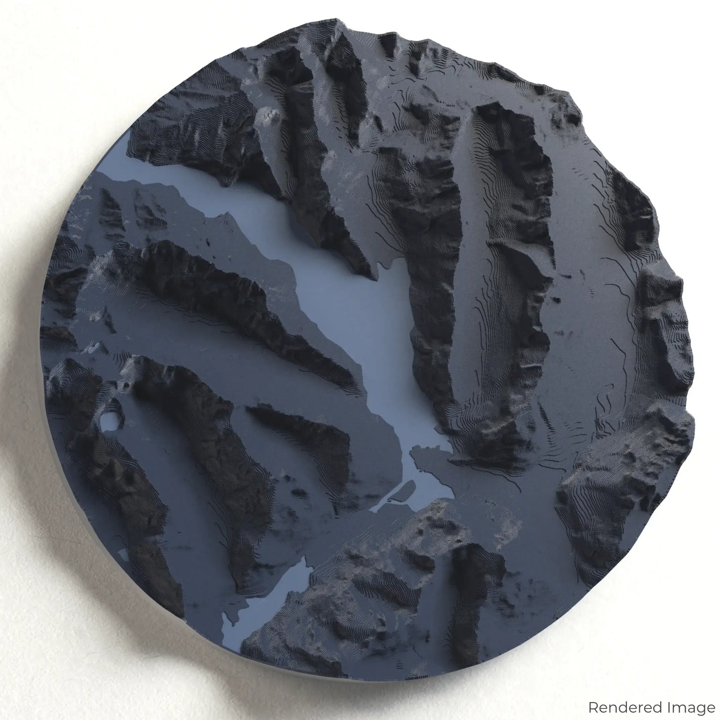
Milford Sound 3D Map
Milford Sound 3D Map
ORDERS NOT SHIPPED TILL SEPTEMBER!!!
Couldn't load pickup availability
Discover the Majesty of Milford Sound
Experience one of New Zealand’s most breathtaking landscapes with our 3D topographic map of Milford Sound. This natural wonder, carved by glaciers, features towering cliffs, cascading waterfalls, and serene fjord waters.
A Journey Through Fiordland’s Crown Jewel
Milford Sound, located in Fiordland National Park, is renowned for its dramatic scenery, sheer rock faces, and the iconic Mitre Peak rising 1,692 metres (5,551 feet) above the water. From the spectacular Stirling and Bowen Falls to the tranquil depths of the fjord, this UNESCO World Heritage site captivates all who visit. Whether you've cruised its waters or dream of exploring its beauty, our handcrafted map captures the essence of Milford Sound.
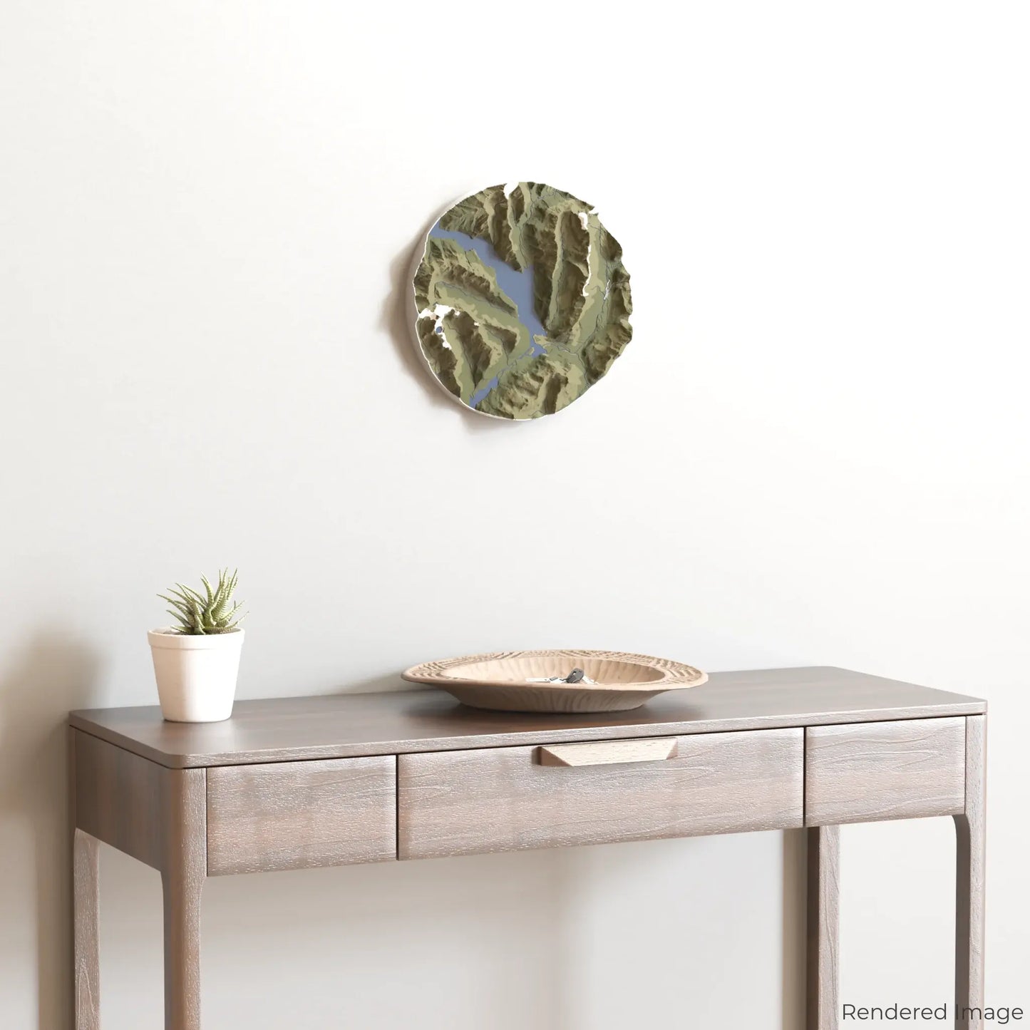
Personalise Your Scenic Keepsake
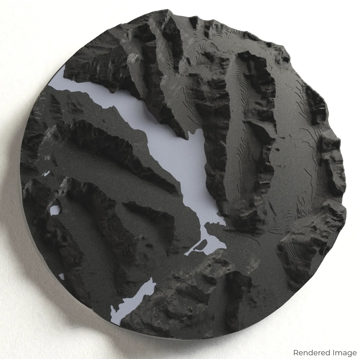
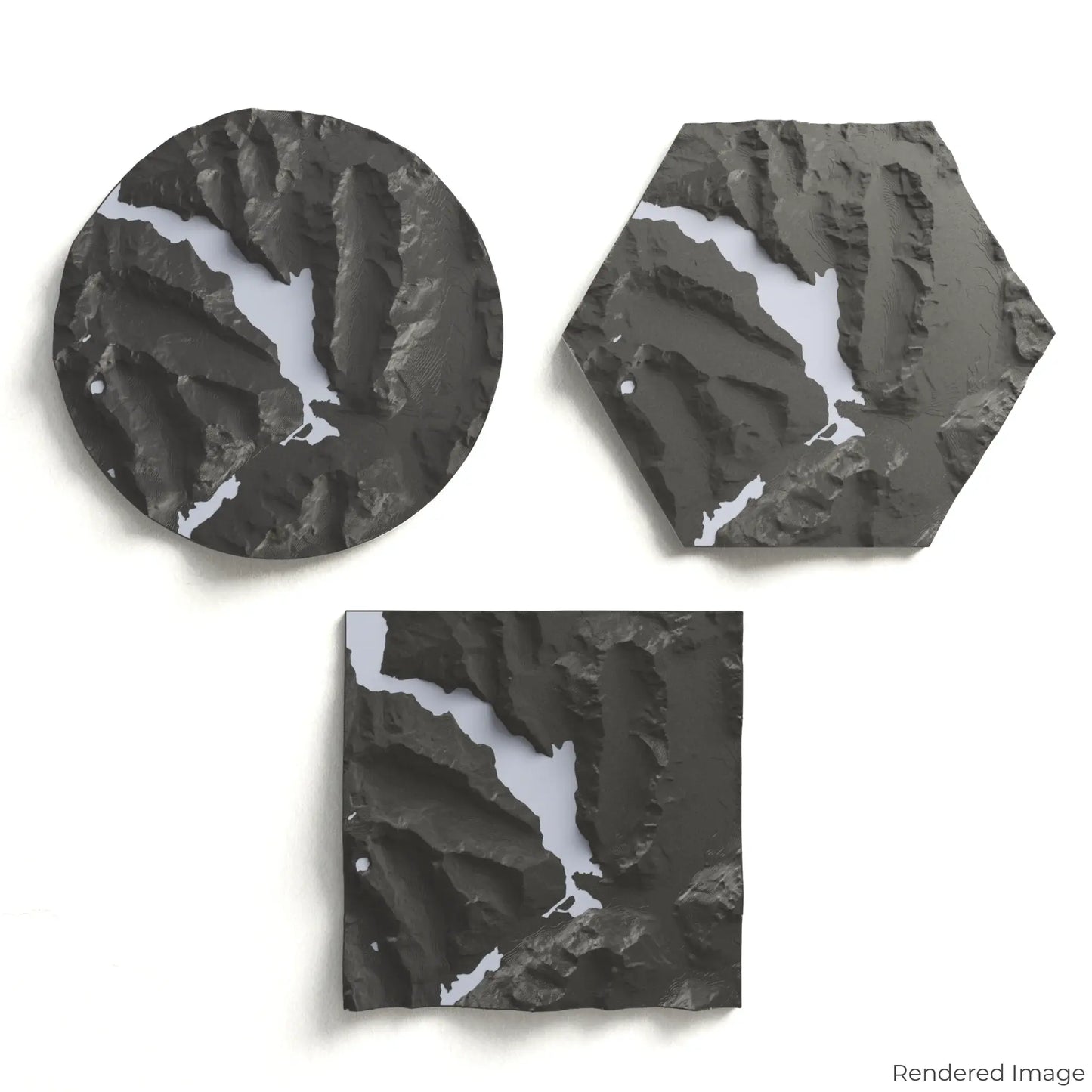
Choose from four striking colour themes and three unique shapes to create a stunning centrepiece for your wall or table. This handcrafted map is the perfect way to commemorate your journey to Milford Sound or as a thoughtful gift for fellow nature lovers.
Select the Perfect Size and Shape
Circle: 222 x 222 x 36mm (8.7 x 8.7 x 1.4 inches)
Hexagon: 242 x 212 x 36mm (9.5 x 8.3 x 1.4 inches)
Square: 198 x 198 x 36mm (7.8 x 7.8 x 1.4 inches)
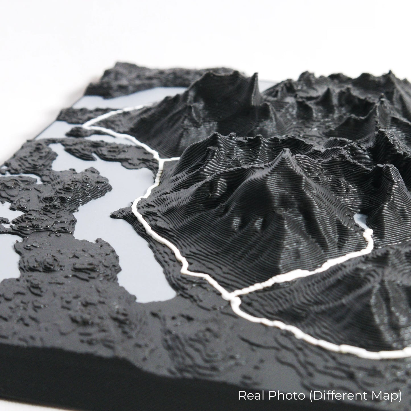
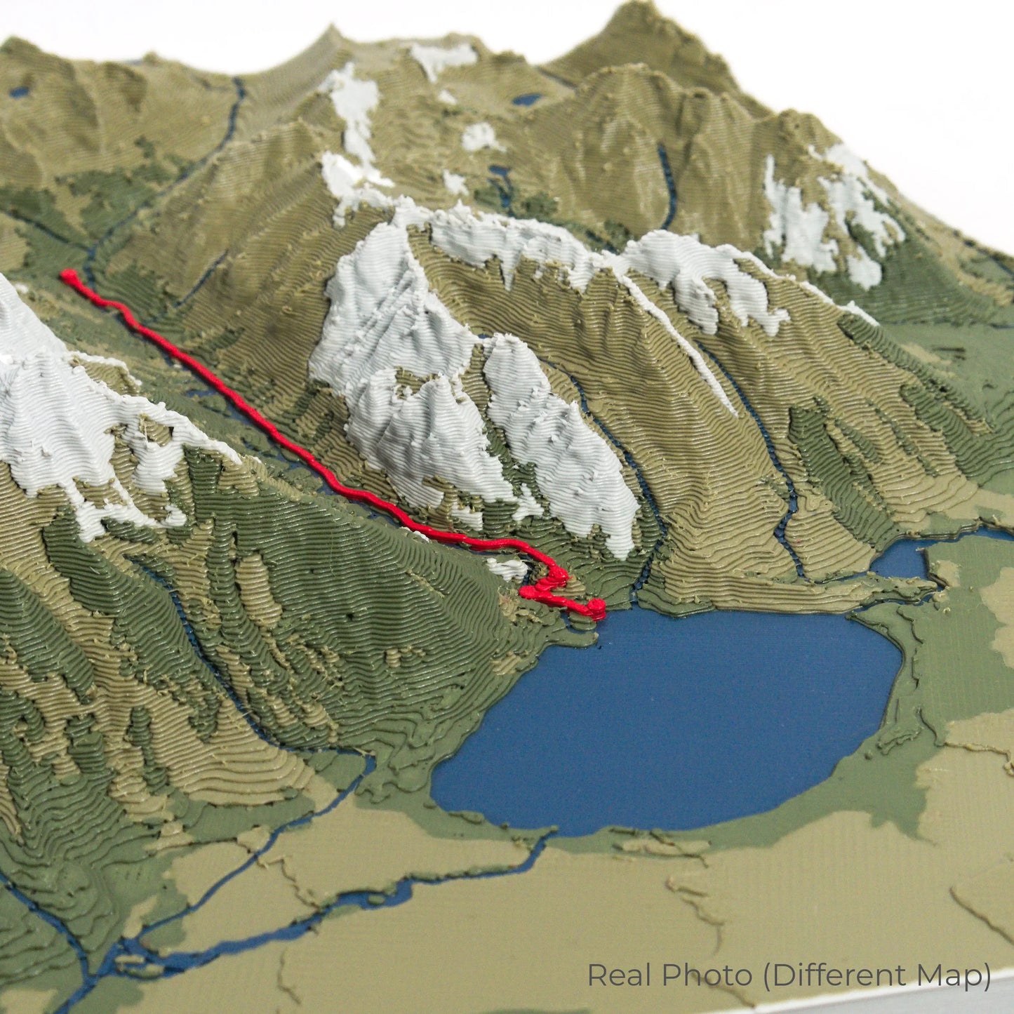
Crafted with Precision and Detail
Our maps are meticulously designed using advanced colour 3D printing technology and PLA, a durable and plant-based plastic.
Please Note: Some product photos are digitally rendered for illustrative purposes and are labelled as "Rendered Image" for clarity. The actual product may show slight variations and natural imperfections due to the 3D printing process and material properties.
Bring the Beauty of Milford Sound Home
Celebrate your love for New Zealand’s fjords with this one-of-a-kind keepsake. Whether you're reminiscing about past adventures or planning your next visit, this 3D map is a tribute to the awe-inspiring beauty of Milford Sound.
Order now and let us create a memento as unforgettable as your journey!
Data Sources
Our maps are created using high-precision topographic data from the following sources:
OpenStreetMap: openstreetmap.org/copyright
Copernicus WorldDEM-30: Produced using Copernicus WorldDEM-30 © DLR e.V. 2010-2014 and © Airbus Defence and Space GmbH 2014-2018, provided under COPERNICUS by the European Union and ESA; all rights reserved.
Share