Summit the Legendary Longs Peak Trail
Take on one of Colorado’s most challenging and iconic climbs with our 3D topographic map of the Longs Peak Trail. This dramatic ascent through Rocky Mountain National Park is a true test for experienced hikers and climbers.
A High-Altitude Adventure in the Rockies
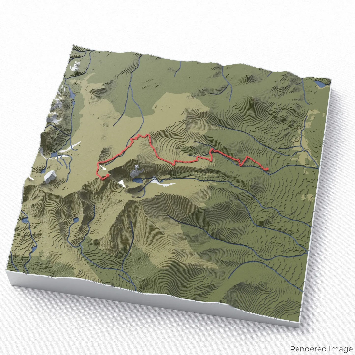
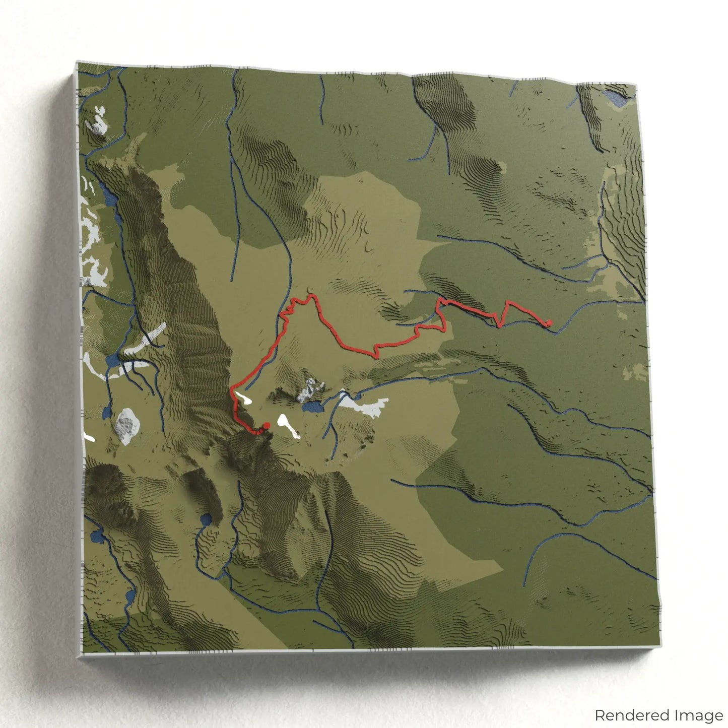
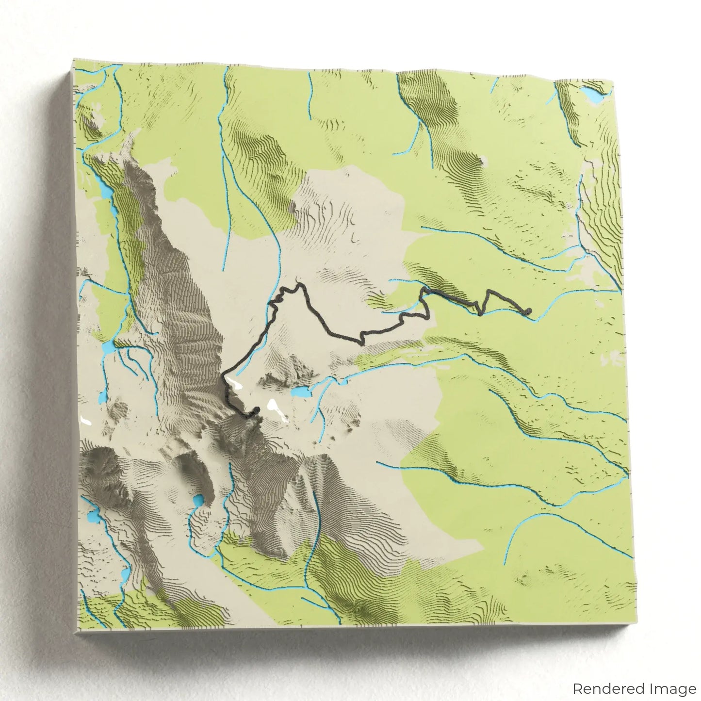
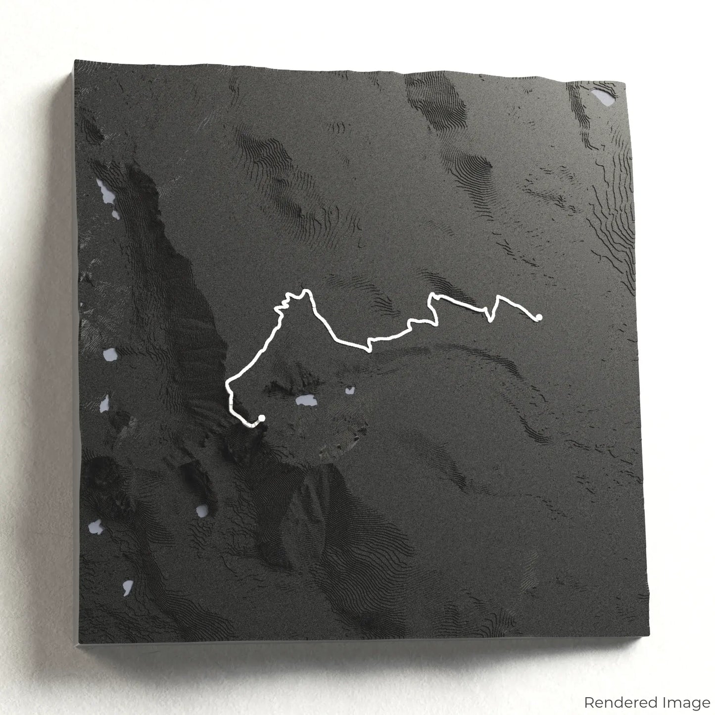
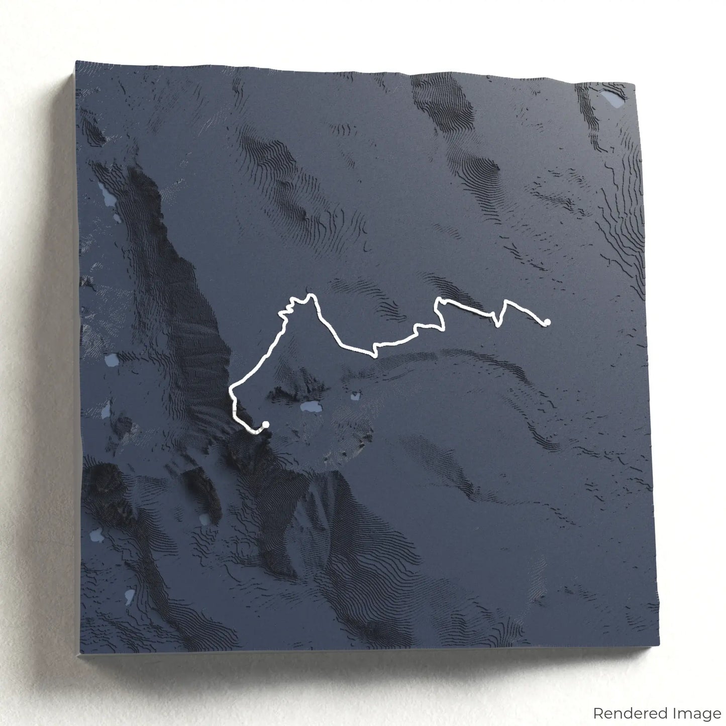
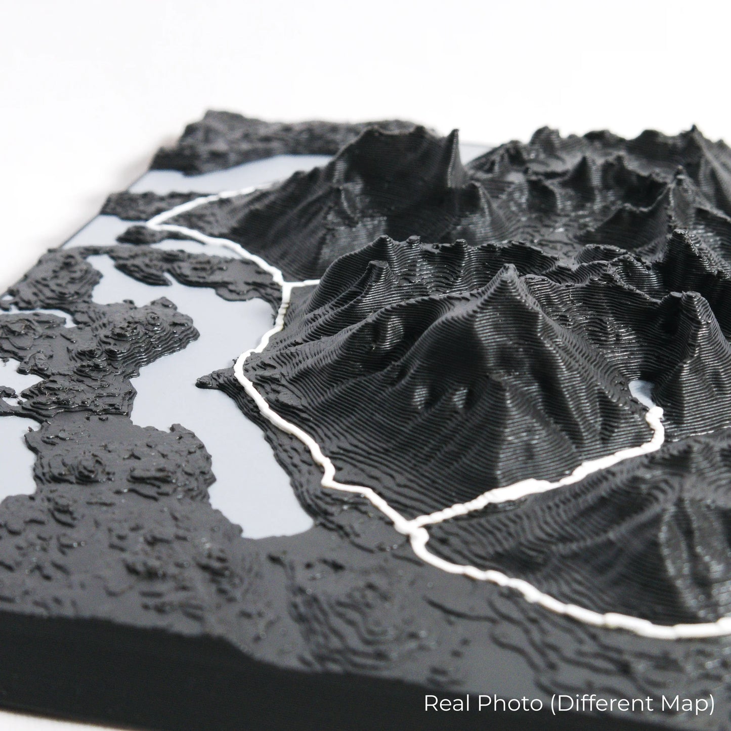
The Longs Peak Trail covers approximately 24 kilometres (15 miles) round trip, leading hikers up steep switchbacks, across the Boulder Field, and through the infamous Keyhole Route. At 4,346 metres (14,259 feet), the summit rewards climbers with breathtaking panoramic views of the surrounding peaks and valleys. Whether you've conquered this demanding climb or dream of reaching the summit, our handcrafted map captures the essence of the Longs Peak Trail.
Customise Your Mountain Keepsake
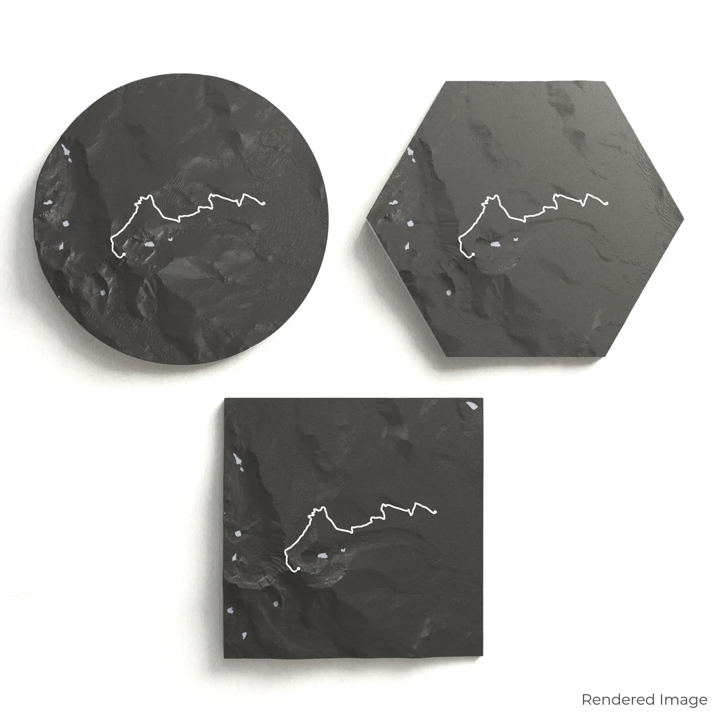
Choose from four striking colour themes and three unique shapes to create a stunning centrepiece for your wall or table. This handcrafted map is the perfect way to commemorate your Longs Peak adventure or as a thoughtful gift for fellow climbers.
Choose the Perfect Size and Shape
Circle: 222 x 222 x 44 mm (8.7 x 8.7 x 1.7 inches)
Hexagon: 242 x 212 x 44 mm (9.6 x 8.3 x 1.7 inches)
Square: 198 x 198 x 44 mm (7.8 x 7.8 x 1.7 inches)
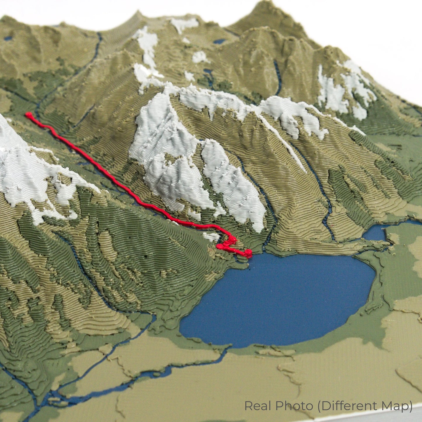
Precision Crafted for Lasting Detail
Our maps are meticulously designed using advanced colour 3D printing technology and PLA, a durable and plant-based plastic.
Please Note: Some product photos are digitally rendered for illustrative purposes and are labelled as "Rendered Image" for clarity. The actual product may show slight variations and natural imperfections due to the 3D printing process and material properties.
Take the Rockies Home
Celebrate your love for high-altitude adventures with this one-of-a-kind keepsake. Whether you're reliving past summits or preparing for your next challenge, this 3D map is a tribute to the incredible landscapes of the Longs Peak Trail.
Order now and let us create a memento as unforgettable as your climb!
Data Sources
Our maps are created using high-precision topographic data from the following sources:
OpenStreetMap: openstreetmap.org/copyright
Copernicus WorldDEM-30: Produced using Copernicus WorldDEM-30 © DLR e.V. 2010-2014 and © Airbus Defence and Space GmbH 2014-2018, provided under COPERNICUS by the European Union and ESA; all rights reserved.