Mapped3D 3D Printed Maps Auckland, New Zealand
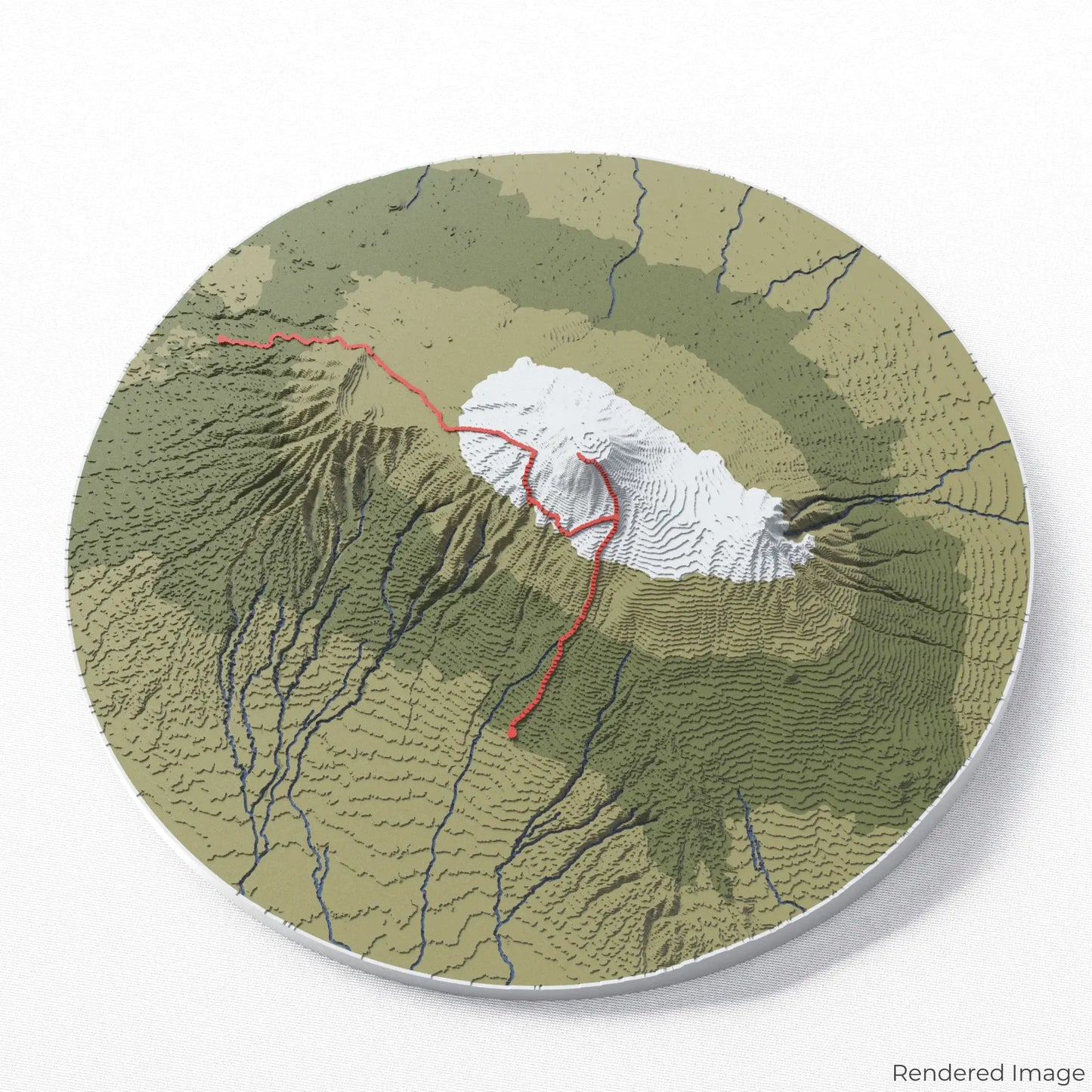
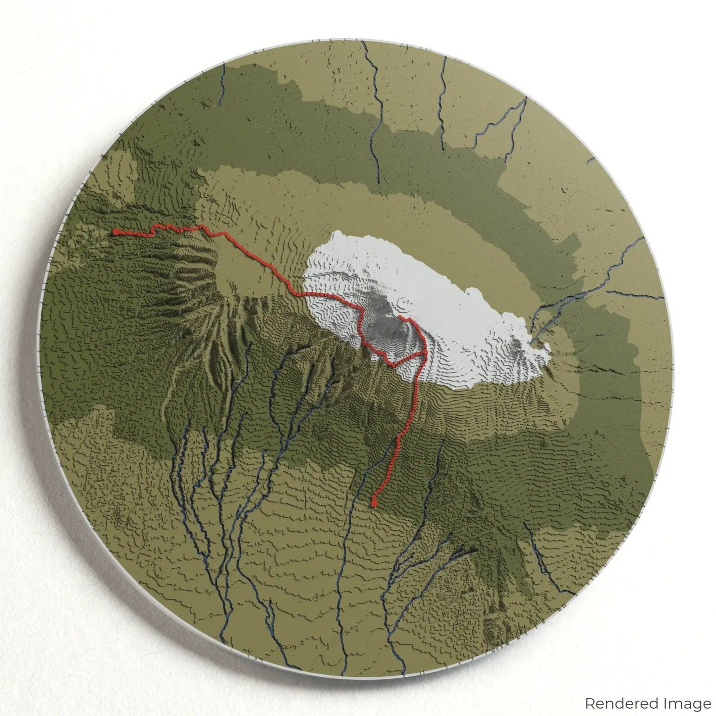
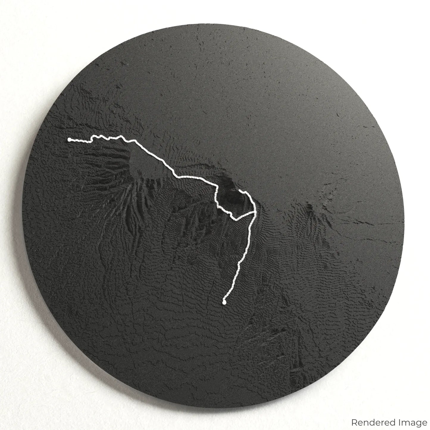
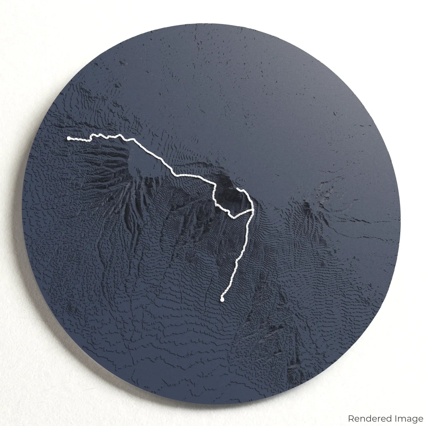
Lemosho Route - Mount Kilimanjaro 3D Map
Lemosho Route - Mount Kilimanjaro 3D Map
ORDERS NOT SHIPPED TILL SEPTEMBER!!!
Couldn't load pickup availability
Climb the Lemosho Route on Mount Kilimanjaro
Embark on an unforgettable journey to Africa’s highest peak with our 3D topographic map of the Lemosho Route. This scenic and gradual ascent offers stunning landscapes, diverse ecosystems, and a challenging yet rewarding climb.
A Trail Through Kilimanjaro’s Changing Landscapes
The Lemosho Route spans approximately 70 kilometres (43 miles), guiding climbers from lush rainforests to alpine deserts before reaching the icy summit of Uhuru Peak at 5,895 metres (19,341 feet). With breathtaking vistas of Shira Plateau, the Barranco Wall, and Stella Point, this route is one of the most picturesque ways to summit Kilimanjaro. Whether you've conquered this iconic climb or dream of reaching the top, our handcrafted map captures the essence of the Lemosho Route.
Customise Your Summit Keepsake
Choose from four striking colour themes and three unique shapes to create an eye-catching centrepiece for your wall or table. This handcrafted map is the perfect way to commemorate your Lemosho Route ascent or as a meaningful gift for fellow mountaineers.
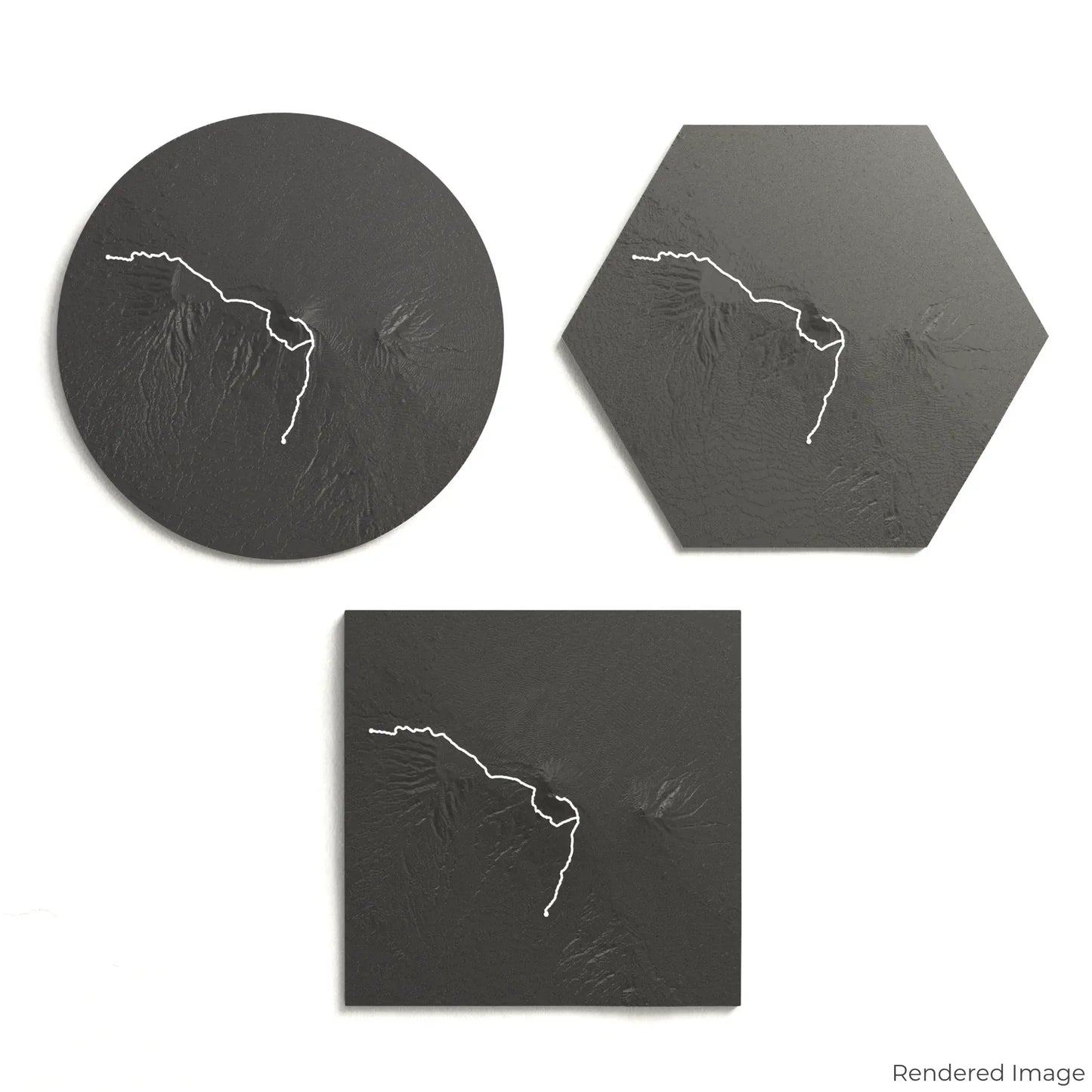
Pick the Perfect Size and Shape
Circle: 222 x 222 x 35 mm (8.7 x 8.7 x 1.4 inches)
Hexagon: 242 x 212 x 35 mm (9.5 x 8.3 x 1.4 inches)
Square: 198 x 198 x 35 mm (7.8 x 7.8 x 1.4 inches)
Precision Craftsmanship for Lasting Memories
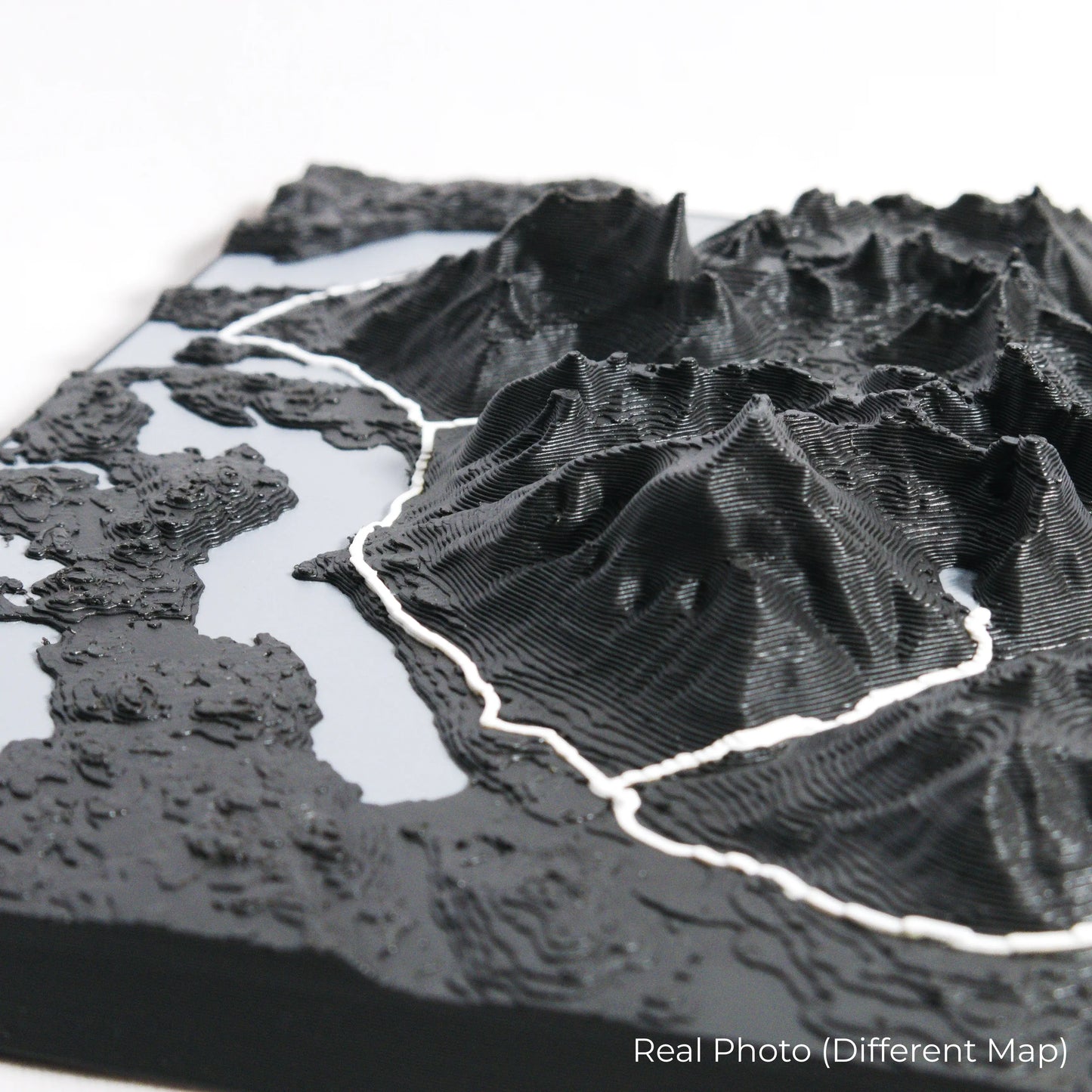
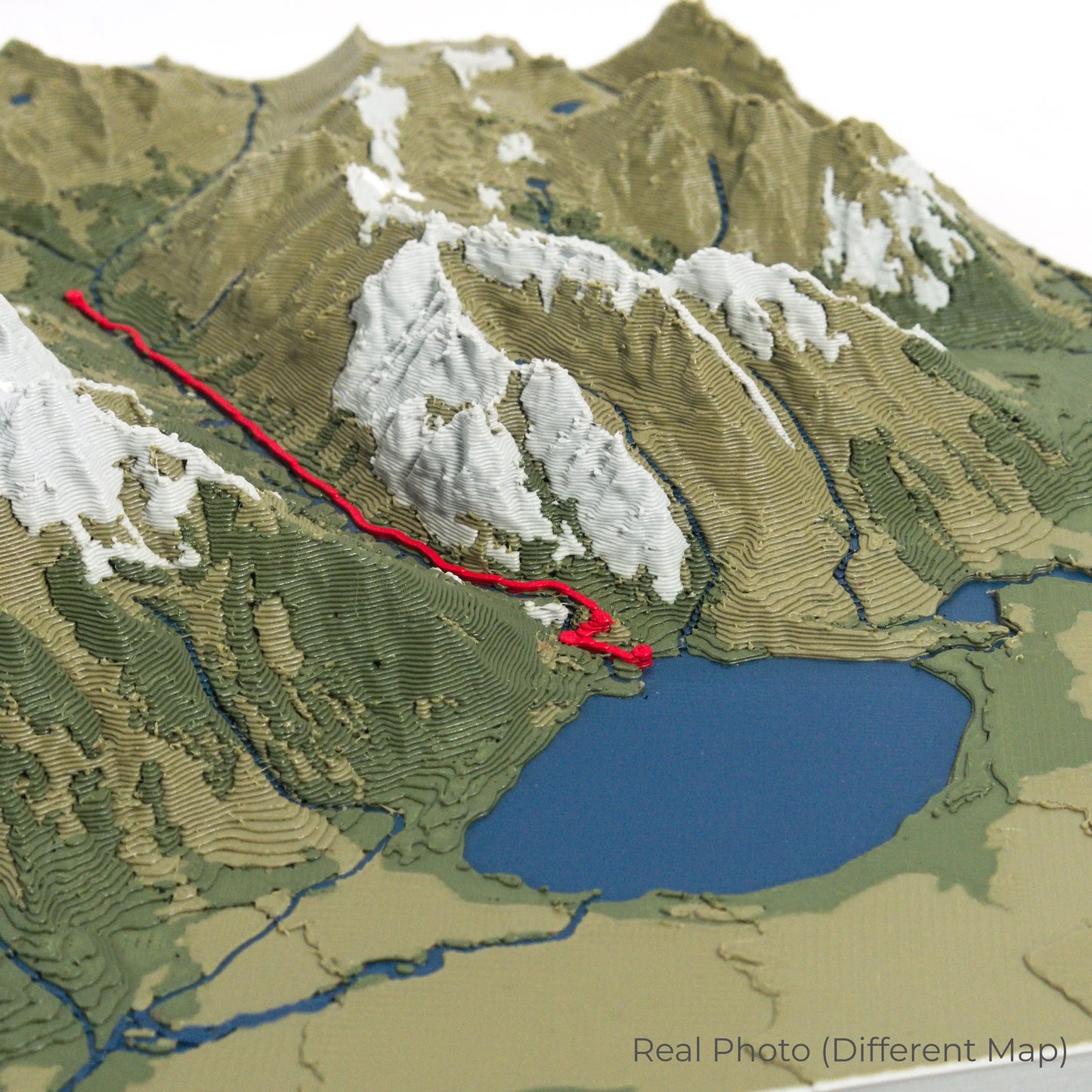
Our maps are meticulously designed using advanced colour 3D printing technology and PLA, a durable and plant-based plastic.
Please Note: Some product photos are digitally rendered for illustrative purposes and are labelled as "Rendered Image" for clarity. The actual product may show slight variations and natural imperfections due to the 3D printing process and material properties.
Take the Spirit of Kilimanjaro Home
Celebrate your achievement with this one-of-a-kind keepsake. Whether you're reminiscing about your summit experience or preparing for your next climb, this 3D map is a tribute to the beauty and challenge of the Lemosho Route.
Order now and let us create a memento as unforgettable as your journey!
Data Sources
Our maps are created using high-precision topographic data from the following sources:
OpenStreetMap: openstreetmap.org/copyright
Copernicus WorldDEM-30: Produced using Copernicus WorldDEM-30 © DLR e.V. 2010-2014 and © Airbus Defence and Space GmbH 2014-2018, provided under COPERNICUS by the European Union and ESA; all rights reserved.
Share