Mapped3D 3D Printed Maps Auckland, New Zealand
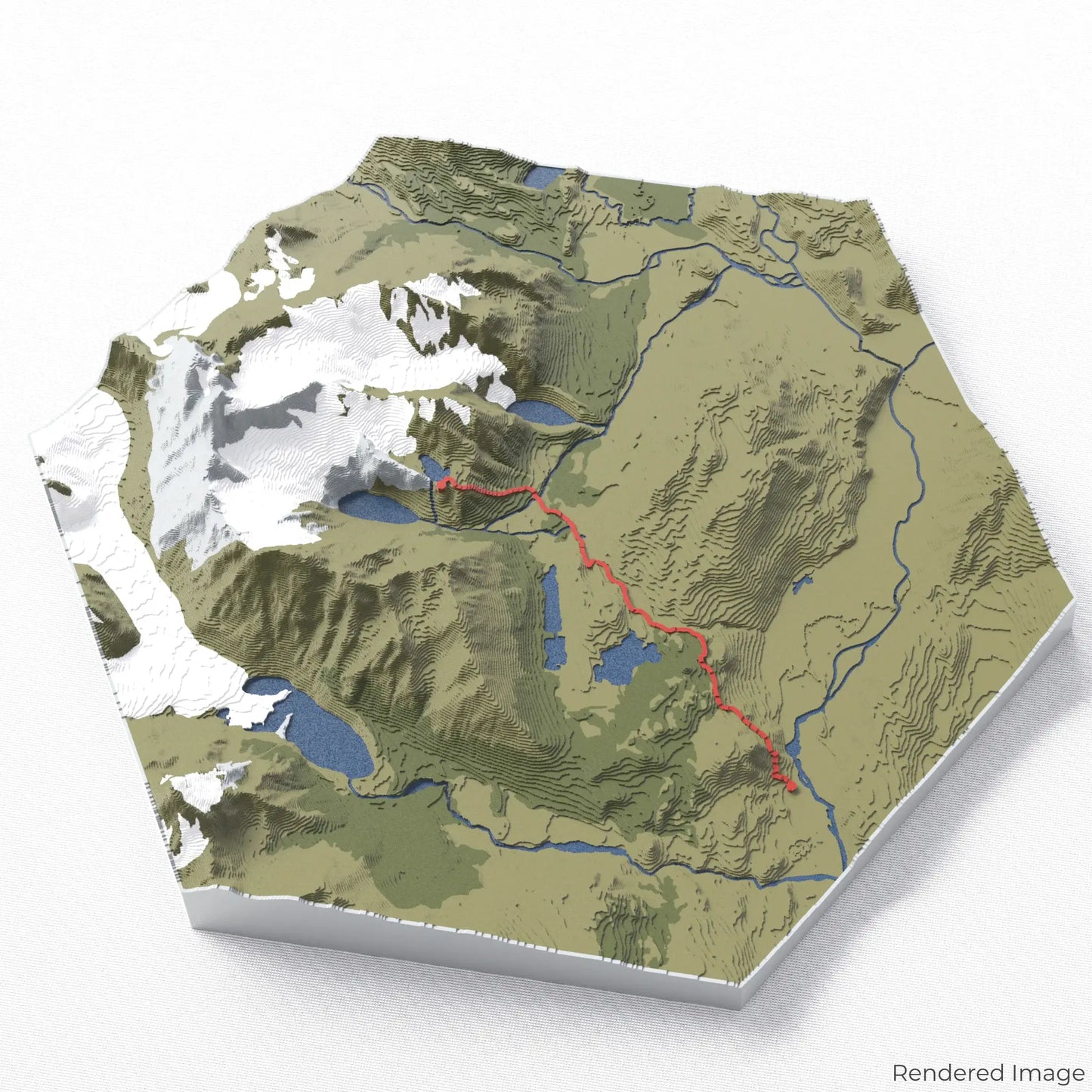
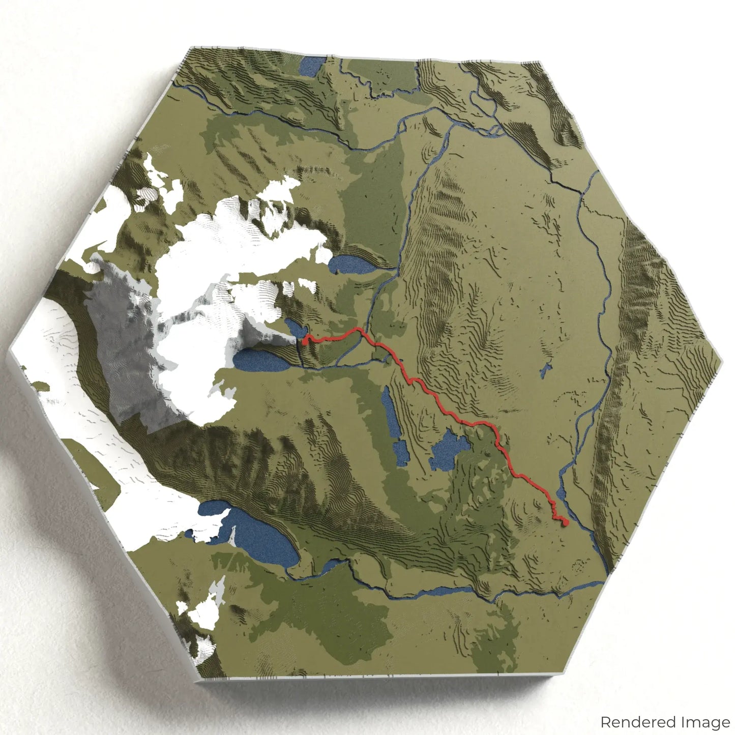
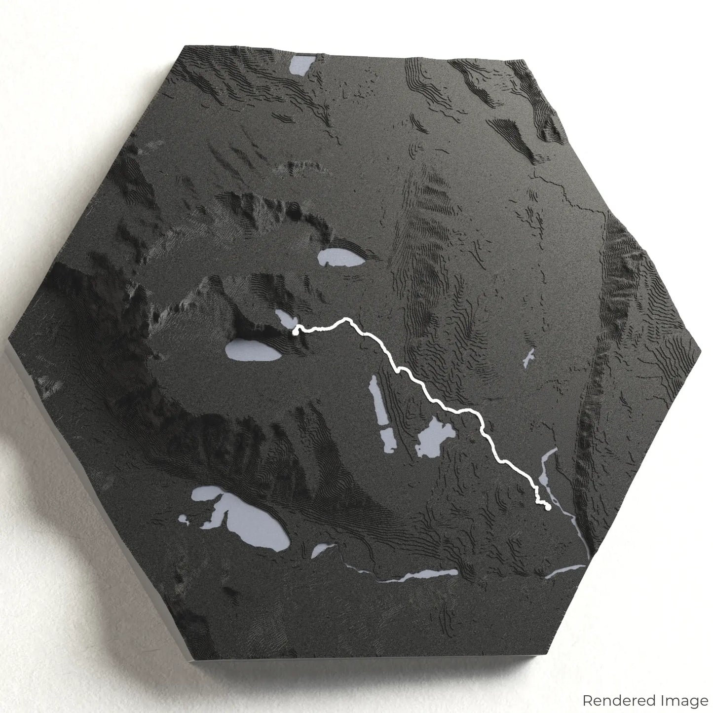
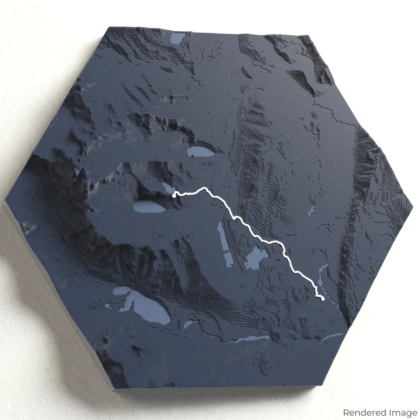
Laguna de los Tres 3D Map
Laguna de los Tres 3D Map
ORDERS NOT SHIPPED TILL SEPTEMBER!!!
Couldn't load pickup availability
Discover the Laguna de los Tres Trail
Experience the dramatic landscapes of Argentine Patagonia with our 3D topographic map of the Laguna de los Tres Trail. This iconic hike rewards trekkers with panoramic views of Mount Fitz Roy, pristine glacial lakes, and rugged Andean terrain.
A Journey Through Patagonia’s Wild Beauty
The Laguna de los Tres Trail covers approximately 20 kilometres (12.4 miles) round trip, guiding hikers through lenga forests, across wooden footbridges, and up steep inclines to the famous viewpoint overlooking the turquoise waters of the lagoon. Whether you've completed this stunning trek or dream of it, our handcrafted map captures the essence of the Laguna de los Tres Trail.
Create Your Custom Memento
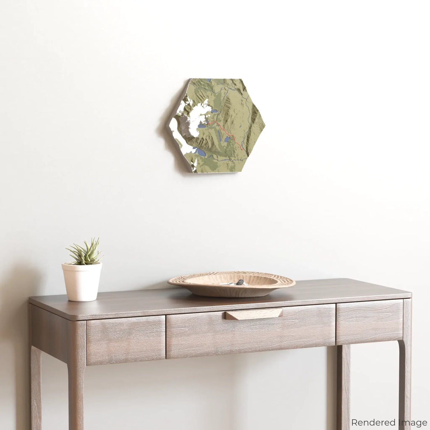
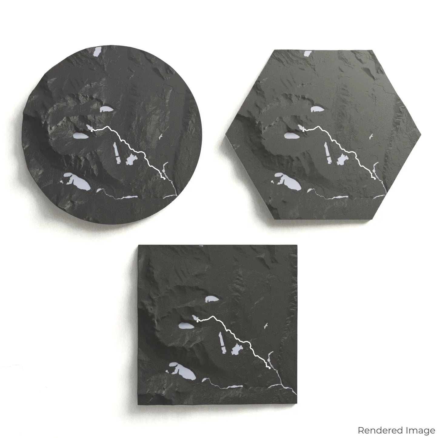
Choose from four striking colour themes and three unique shapes to create an eye-catching centrepiece for your wall or table. This handcrafted map is the perfect way to commemorate your hike to Laguna de los Tres or as a thoughtful gift for fellow adventurers.
Available Sizes and Shapes
Circle: 222 x 222 x 41 mm (8.7 x 8.7 x 1.6 inches)
Hexagon: 242 x 212 x 41 mm (9.6 x 8.3 x 1.6 inches)
Square: 198 x 198 x 41 mm (7.8 x 7.8 x 1.6 inches)
Expert Craftsmanship
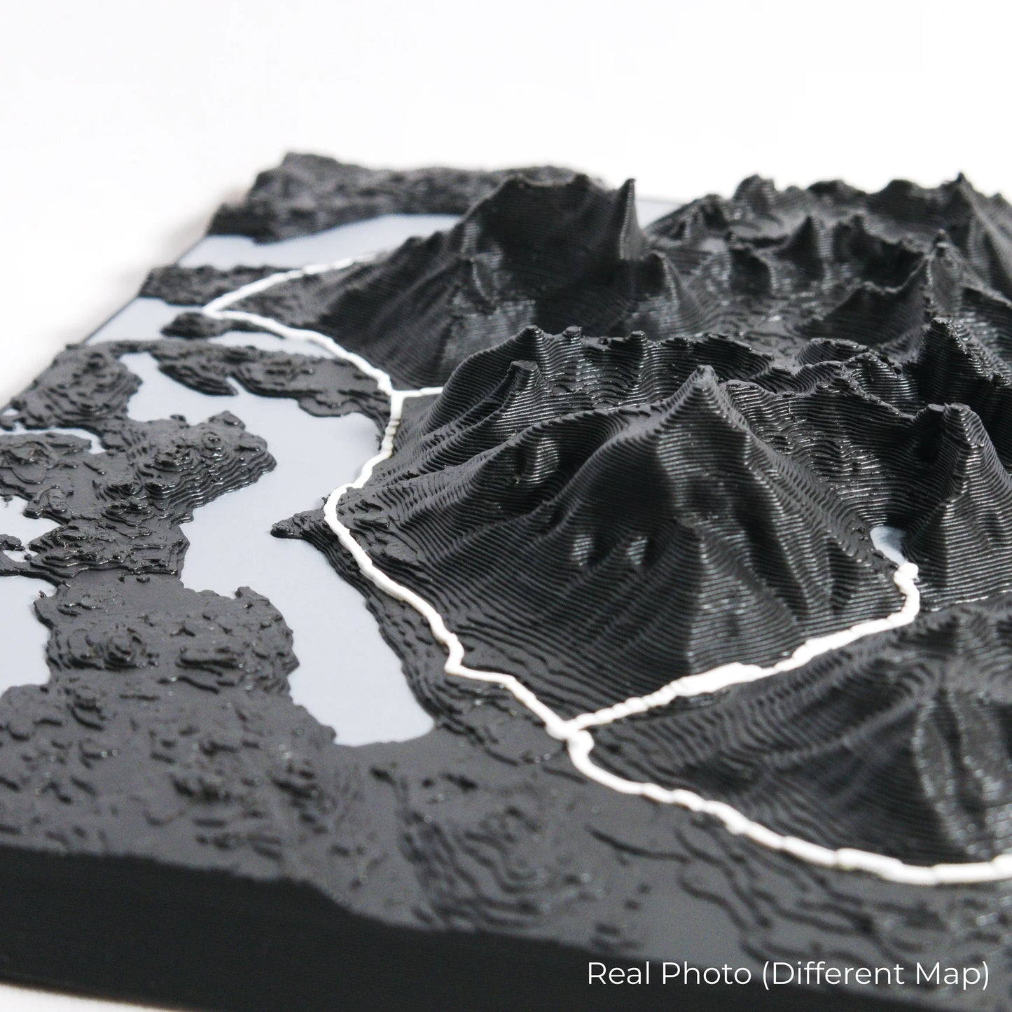
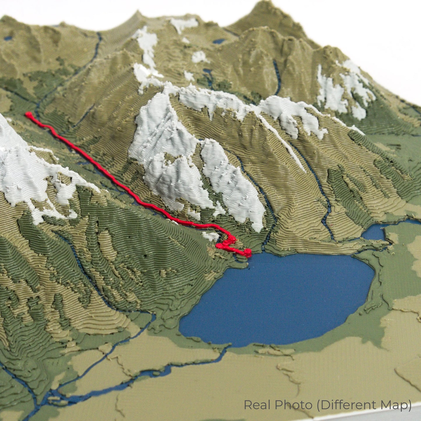
Our maps are meticulously crafted using advanced colour 3D printing technology and PLA, a durable and plant-based plastic.
Please Note: Some product photos are digitally rendered for illustrative purposes and are labelled as "Rendered Image" for clarity. The actual product may show slight variations and natural imperfections due to the 3D printing process and material properties.
Bring Patagonia’s Peaks Home
Celebrate your love for Patagonia’s rugged beauty with this one-of-a-kind keepsake. Whether you're reliving cherished memories or planning your next journey, this 3D map is a testament to the natural wonder of the Laguna de los Tres Trail.
Order now and let us create a memento as unforgettable as your journey!
Data Sources
Our maps are created using high-precision topographic data from the following sources:
OpenStreetMap: openstreetmap.org/copyright
Copernicus WorldDEM-30: Produced using Copernicus WorldDEM-30 © DLR e.V. 2010-2014 and © Airbus Defence and Space GmbH 2014-2018, provided under COPERNICUS by the European Union and ESA; all rights reserved.
Share