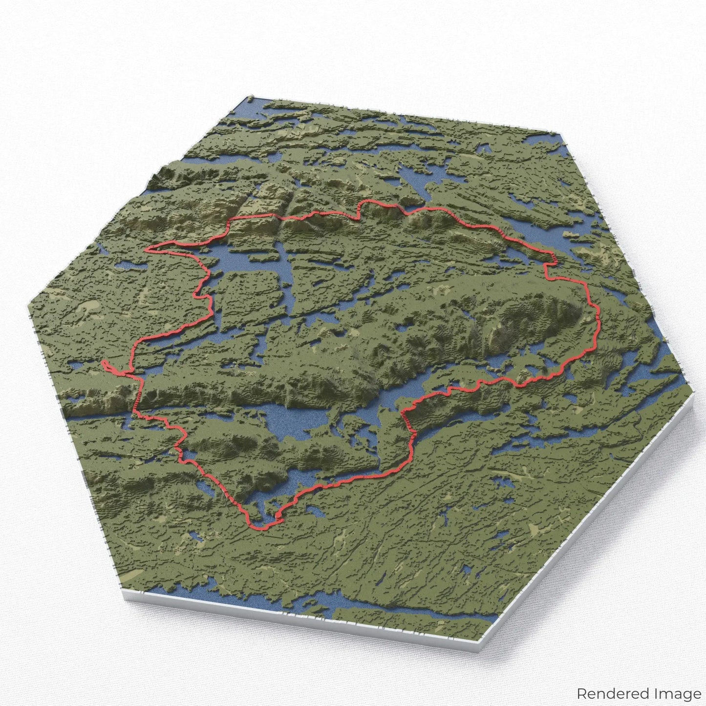
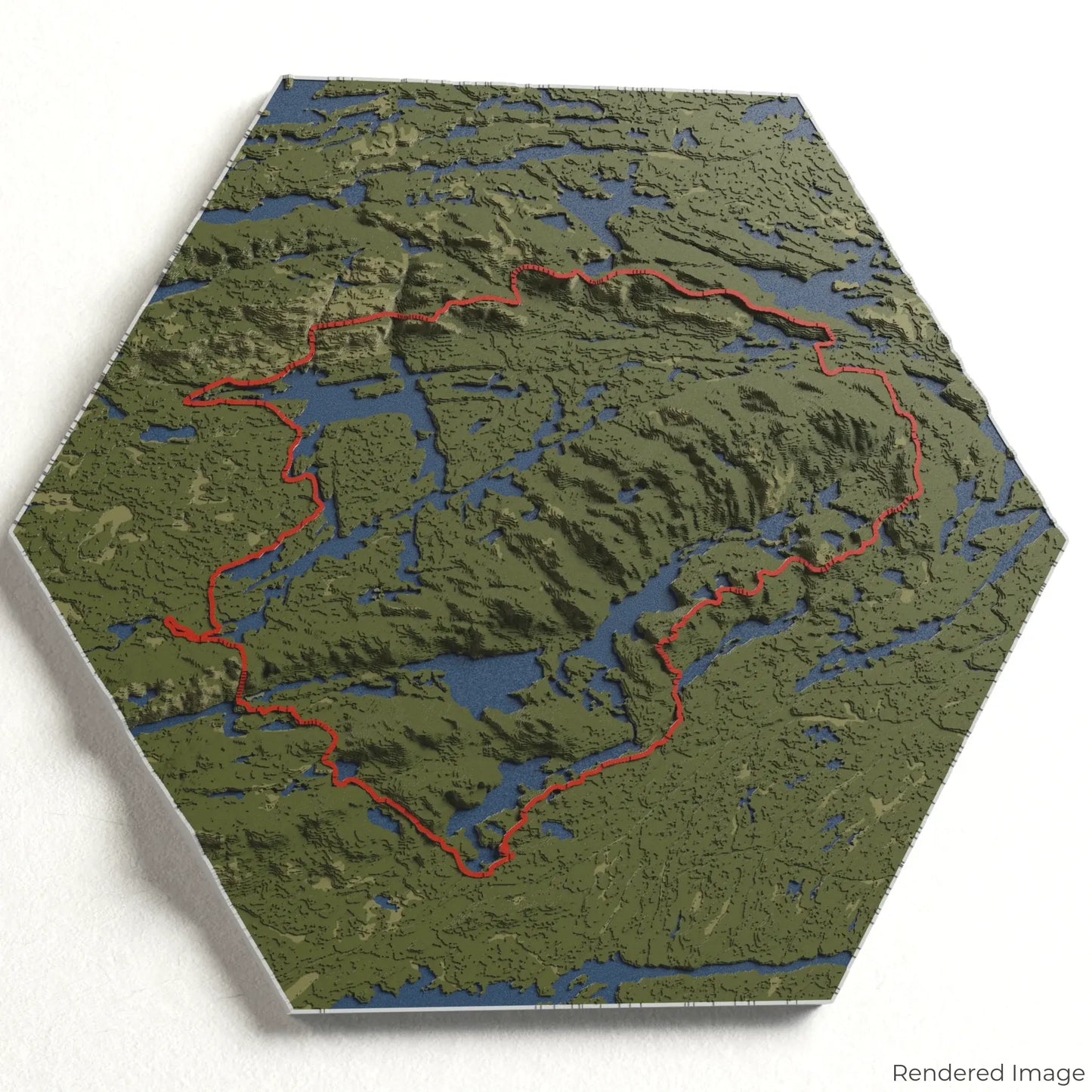
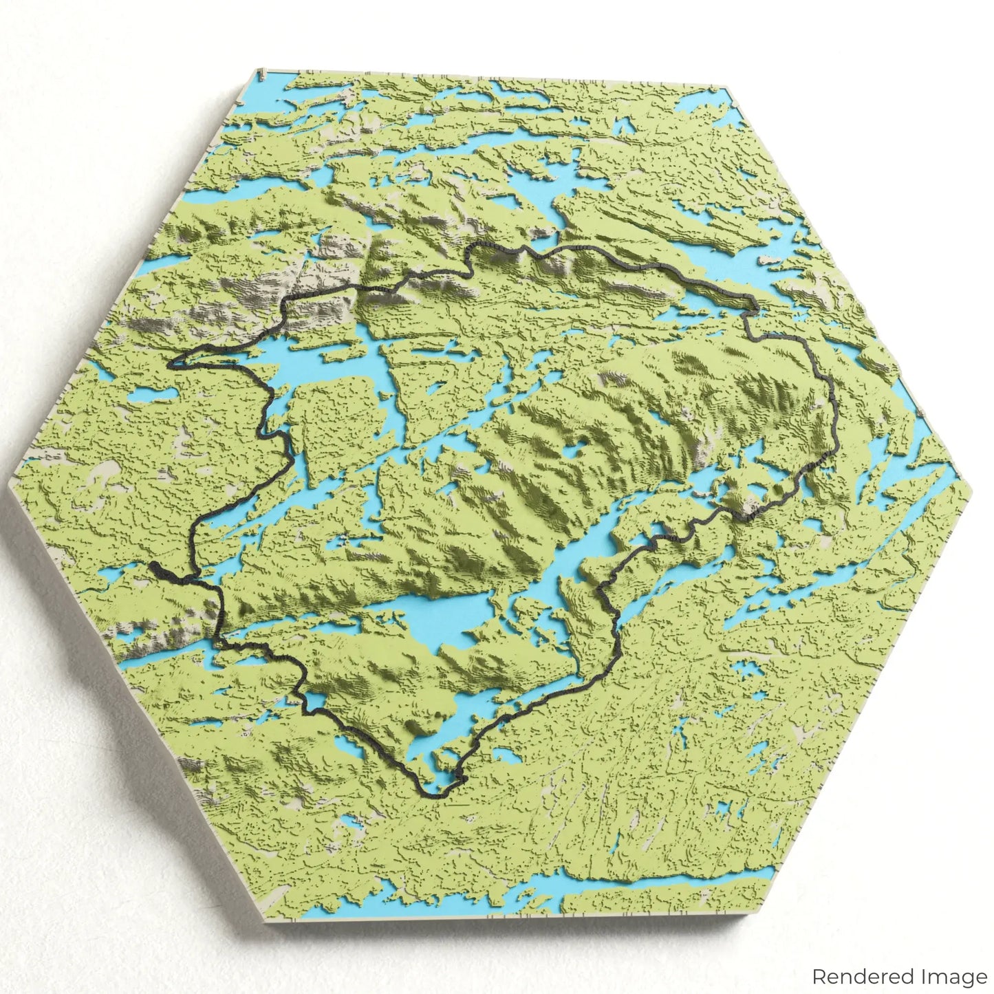
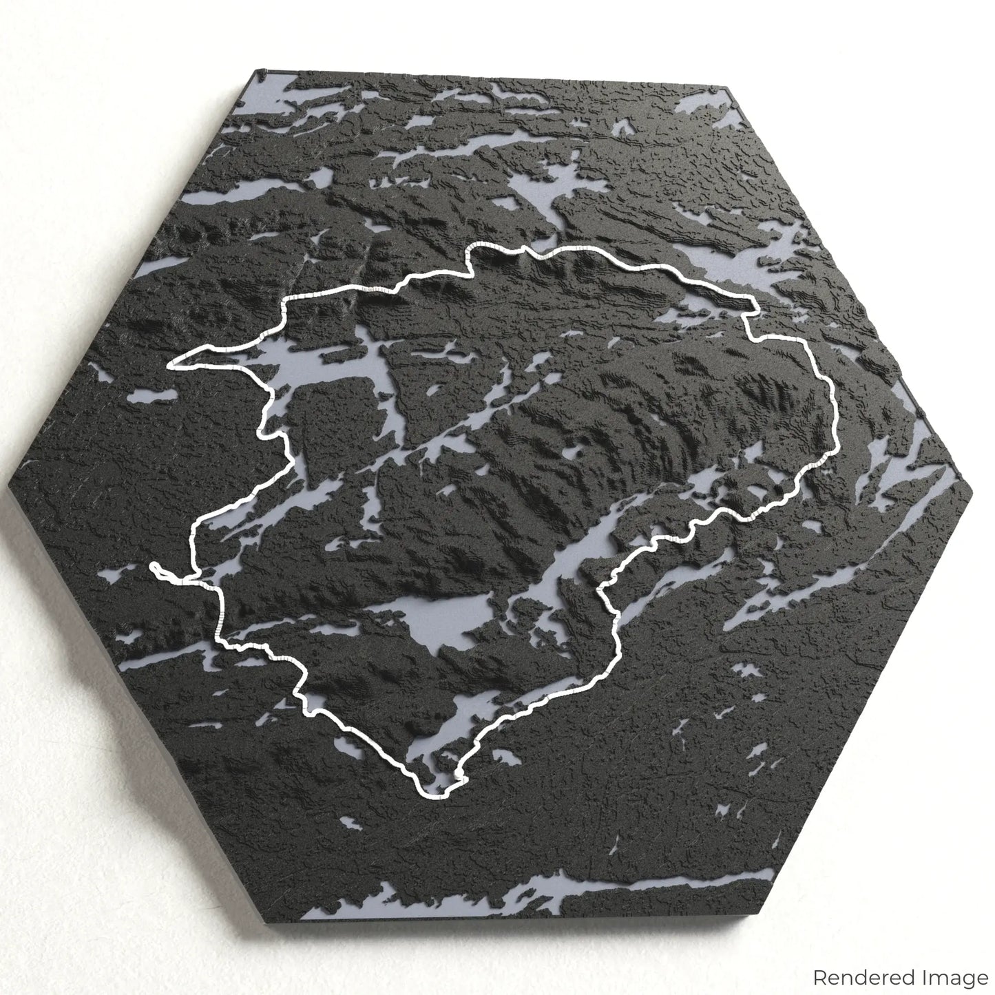
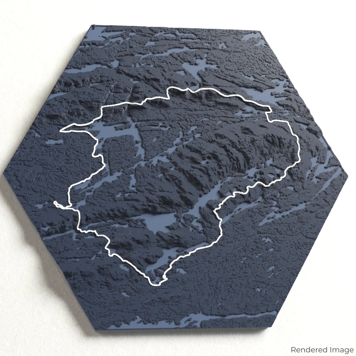
Explore the La Cloche Silhouette Trail
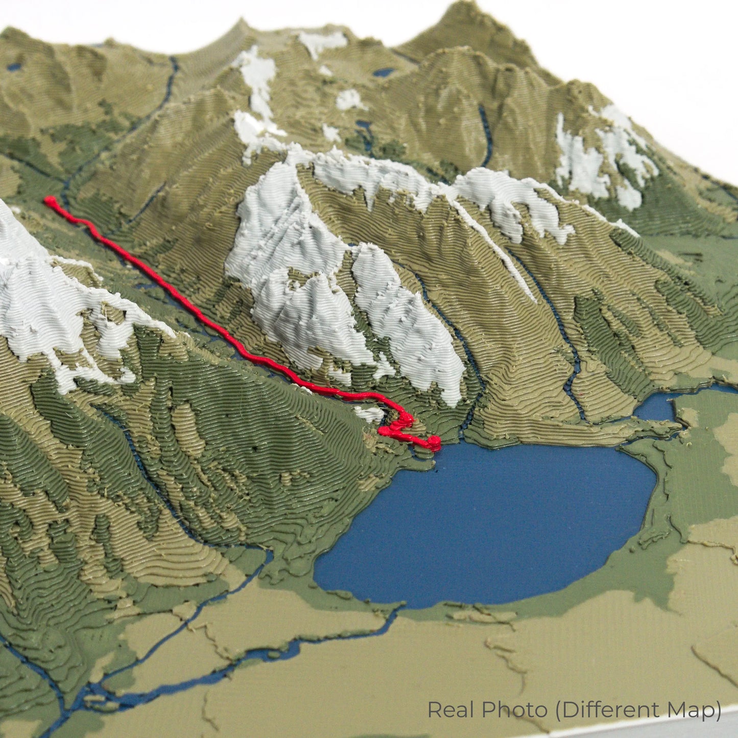
Experience the rugged beauty of Ontario’s Killarney Provincial Park with our 3D topographic map of the La Cloche Silhouette Trail. This challenging route offers breathtaking views of quartzite ridges, crystal-clear lakes, and dense boreal forests.
A Journey Through the Canadian Wilderness
The La Cloche Silhouette Trail stretches approximately 78 kilometres (48 miles), guiding hikers through diverse landscapes, from rocky cliffs to serene valleys. The trail is named after the Group of Seven painter Franklin Carmichael, who was inspired by the area's natural beauty. Whether you've completed this demanding trek or dream of it, our handcrafted map captures the essence of the La Cloche Silhouette Trail.
Customise Your Trail Map
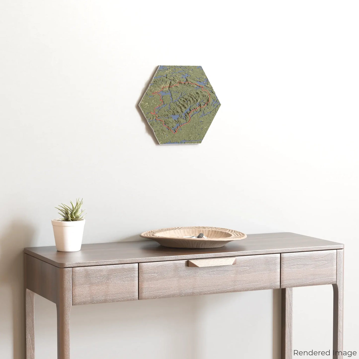
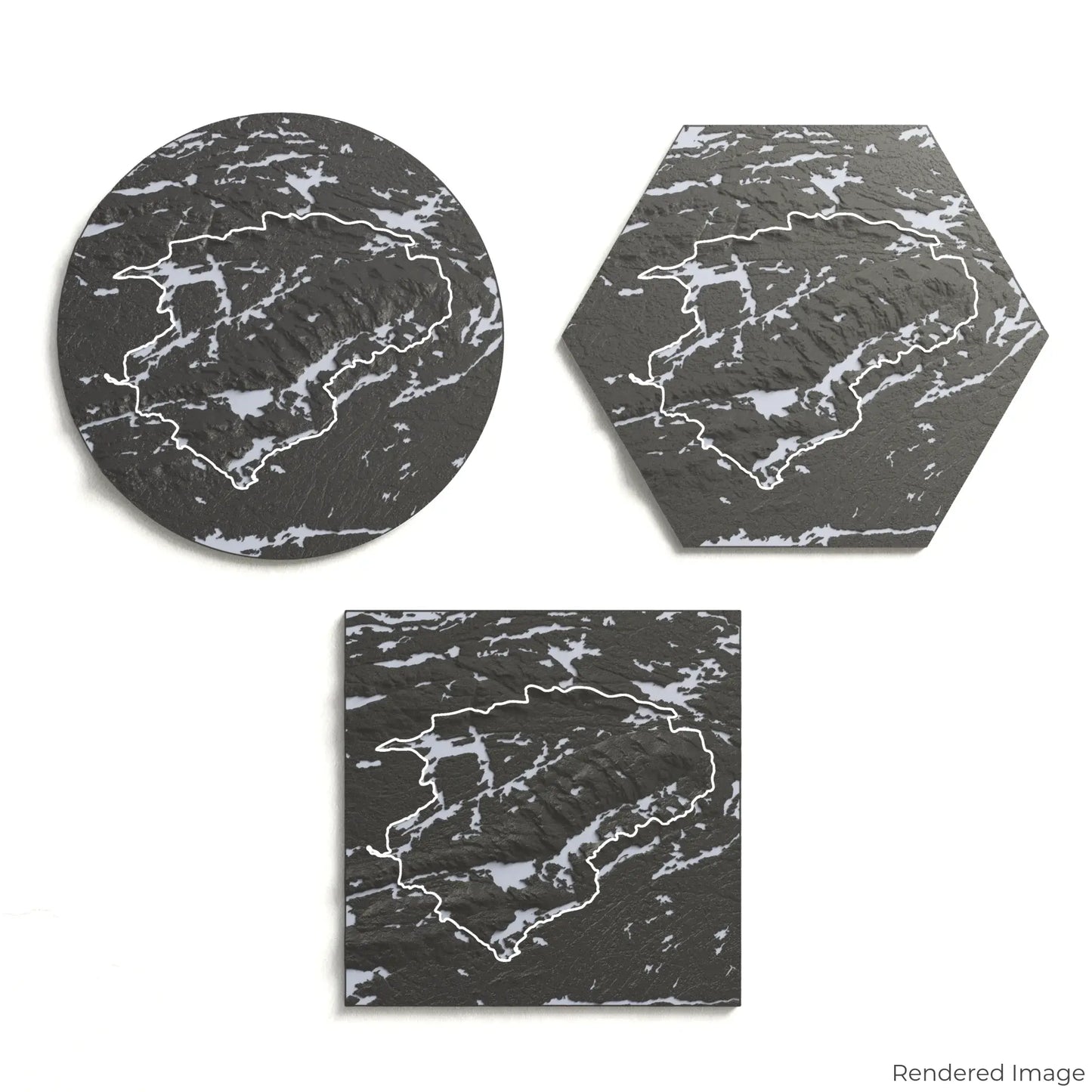
Choose from four striking colour themes and three unique shapes to create an eye-catching centrepiece for your wall or table. This handcrafted map is the perfect way to commemorate your adventure along the La Cloche Silhouette Trail or as a thoughtful gift for fellow explorers.
Available Sizes and Shapes
Circle: 222 x 222 x 19 mm (8.7 x 8.7 x 0.8 inches)
Hexagon: 243 x 212 x 19 mm (9.6 x 8.3 x 0.8 inches)
Square: 198 x 198 x 19 mm (7.8 x 7.8 x 0.8 inches)
Expert Craftsmanship
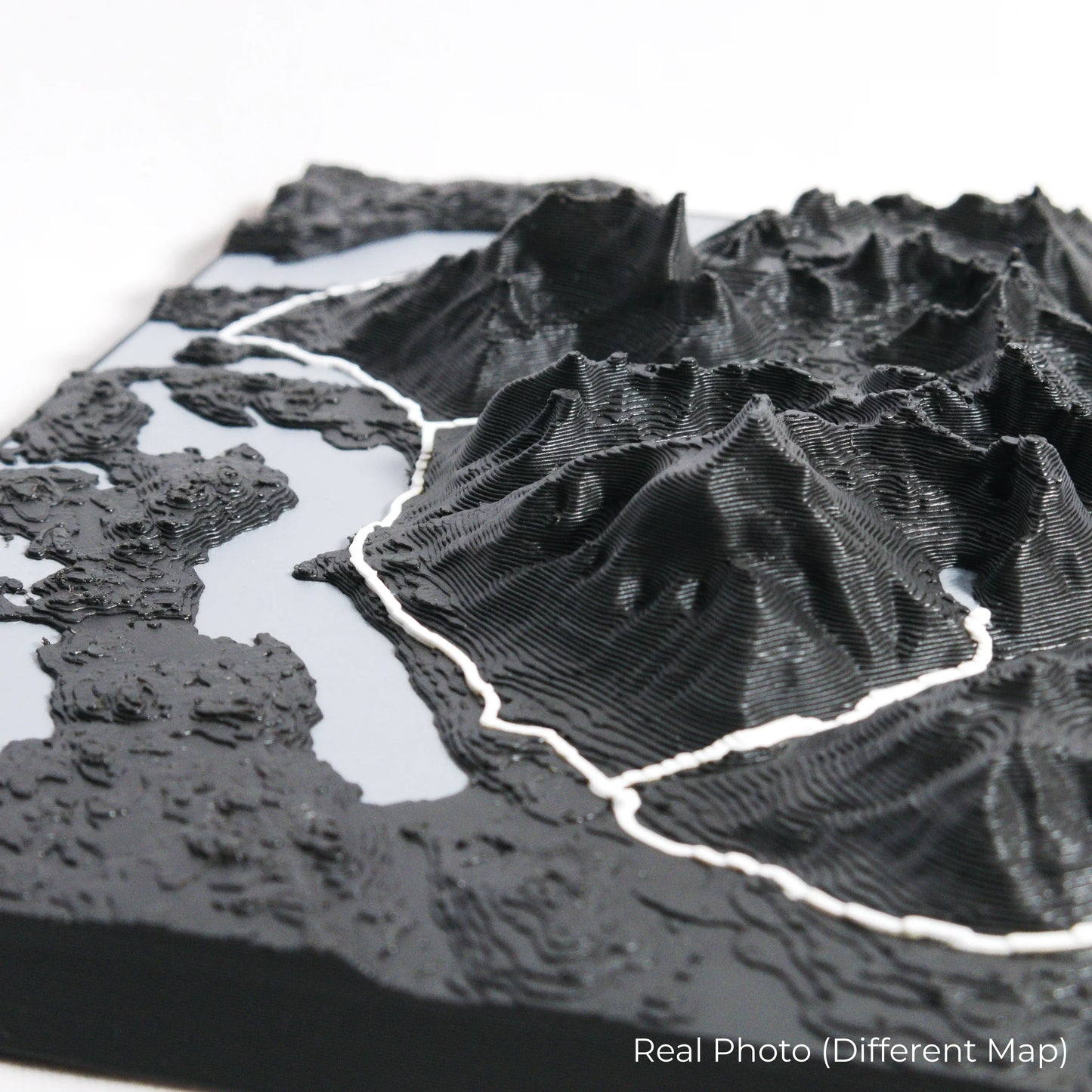
Our maps are meticulously crafted using advanced colour 3D printing technology and PLA, a durable and plant-based plastic.
Please Note: Some product photos are digitally rendered for illustrative purposes and are labelled as "Rendered Image" for clarity. The actual product may show slight variations and natural imperfections due to the 3D printing process and material properties.
Bring Killarney’s Beauty Home
Celebrate your love for Ontario’s wilderness with this one-of-a-kind keepsake. Whether you're reliving cherished memories or planning your next journey, this 3D map is a testament to the natural beauty of the La Cloche Silhouette Trail.
Order now and let us create a memento as unforgettable as your journey!
Data Sources
Our maps are created using high-precision topographic data from the following sources:
OpenStreetMap: openstreetmap.org/copyright
Copernicus WorldDEM-30: Produced using Copernicus WorldDEM-30 © DLR e.V. 2010-2014 and © Airbus Defence and Space GmbH 2014-2018, provided under COPERNICUS by the European Union and ESA; all rights reserved.