Mapped3D 3D Printed Maps Auckland, New Zealand
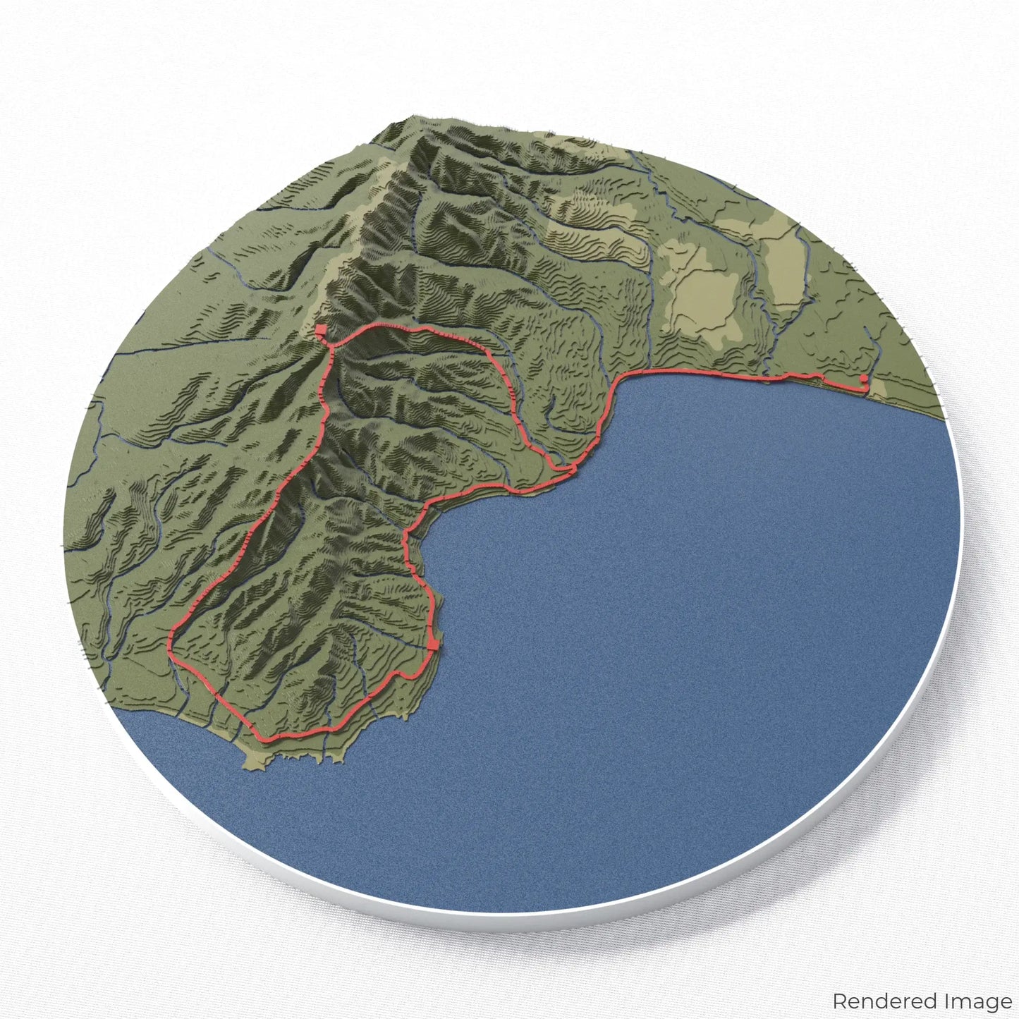
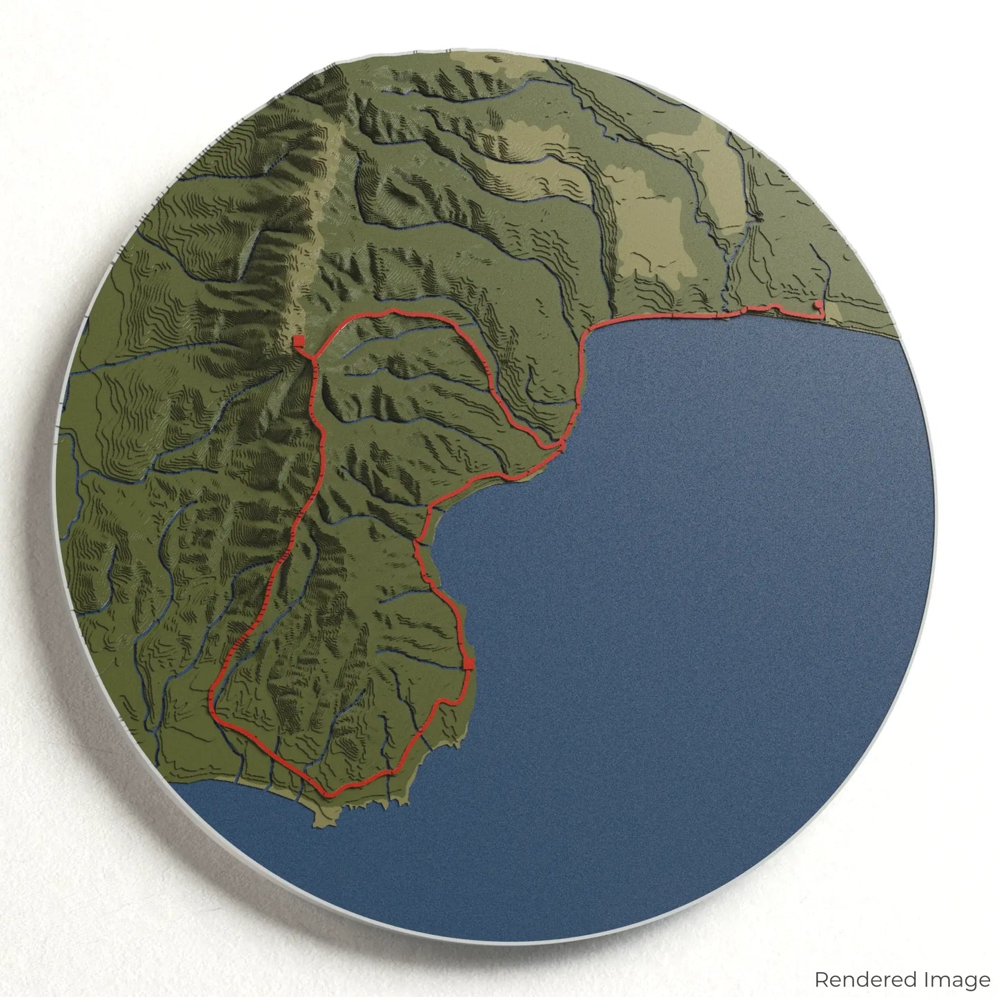
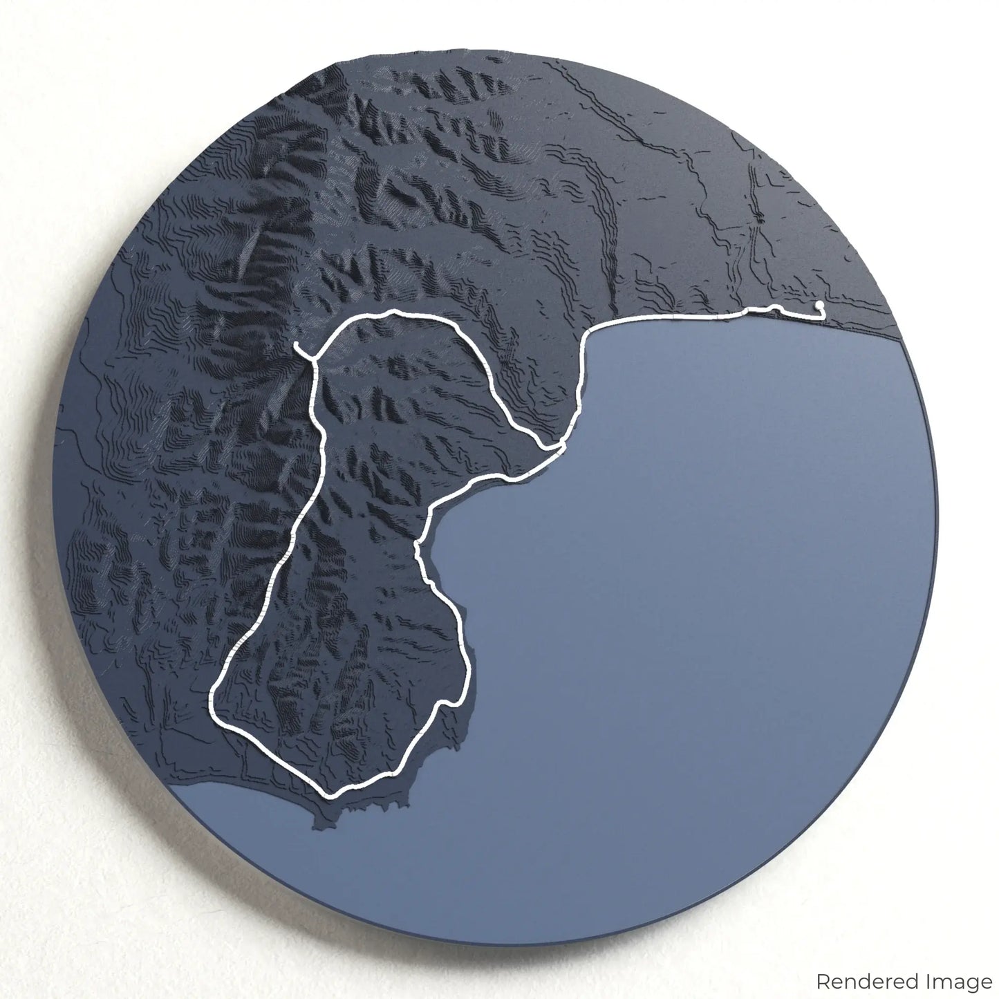
Hump Ridge Track 3D Map
Hump Ridge Track 3D Map
ORDERS NOT SHIPPED TILL SEPTEMBER!!!
Couldn't load pickup availability
Journey Along the Hump Ridge Track
Experience the remote beauty of New Zealand’s Fiordland with our 3D topographic map of the Hump Ridge Track. This breathtaking route offers a unique blend of coastal landscapes, lush forests, and alpine ridges for an unforgettable trekking adventure.
A Trail of Stunning Contrasts
The Hump Ridge Track stretches approximately 61 kilometres (38 miles), leading hikers through rugged beaches, towering limestone formations, and historic viaducts. From the panoramic views atop the Hump Ridge to the untouched wilderness of Fiordland National Park, this trail offers a journey like no other. Whether you've walked this spectacular route or dream of doing so, our handcrafted map captures the essence of the Hump Ridge Track.
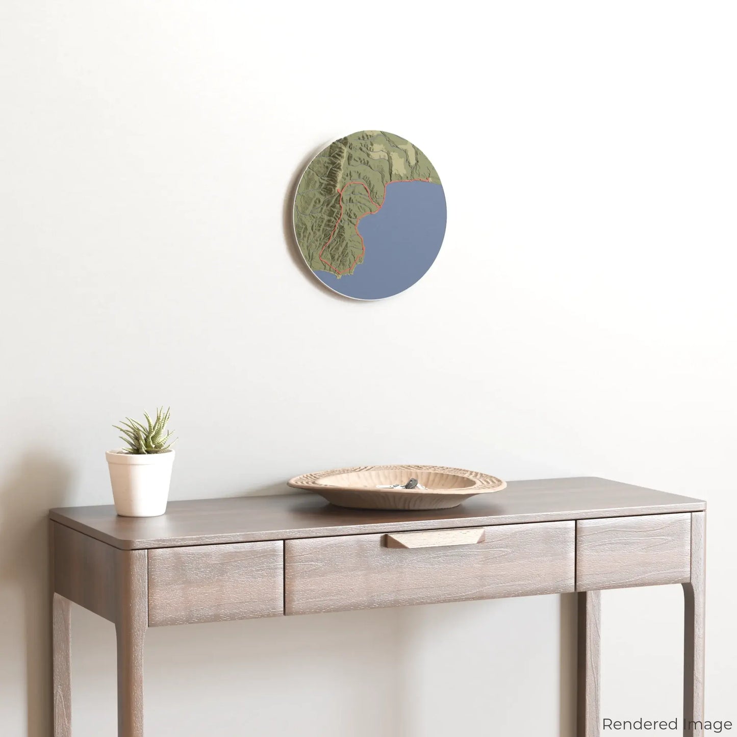
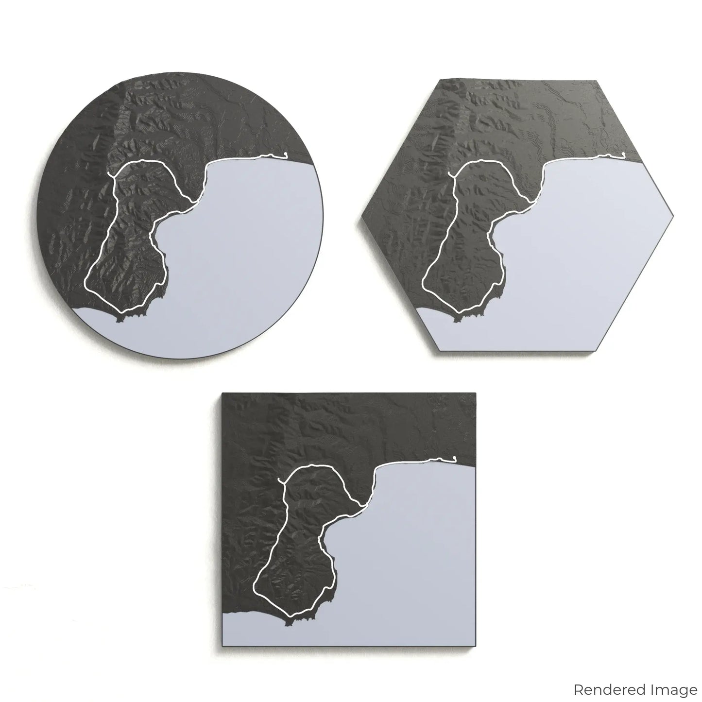
Customise Your Adventure Keepsake
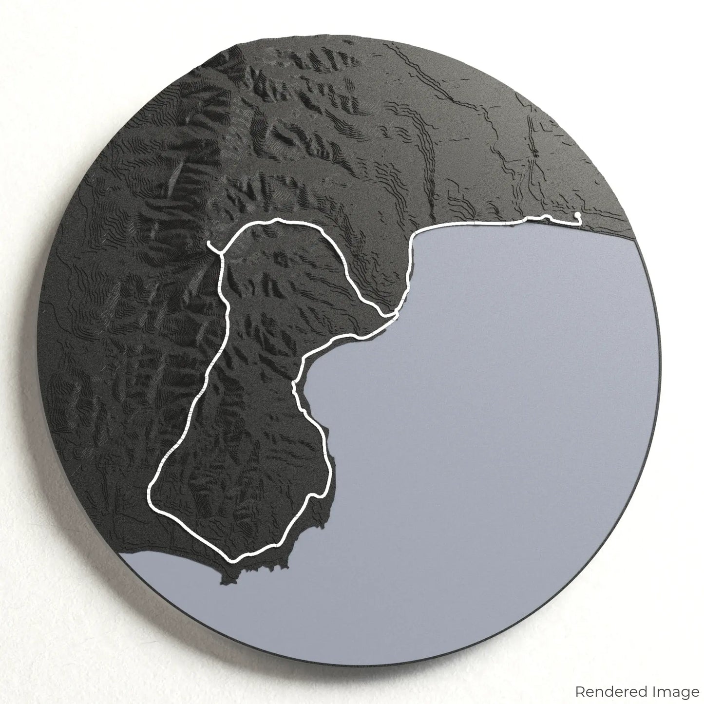
Choose from four striking colour themes and three unique shapes to create a stunning centrepiece for your wall or table. This handcrafted map is the perfect way to commemorate your Hump Ridge Track experience or as a thoughtful gift for fellow adventurers.
Select the Perfect Size and Shape
Circle: 222 x 222 x 26 mm (8.7 x 8.7 x 0.6 inches)
Hexagon: 242 x 212 x 26 mm (9.5 x 8.3 x 0.6 inches)
Square: 198 x 198 x 26 mm (7.8 x 7.8 x 0.6 inches)
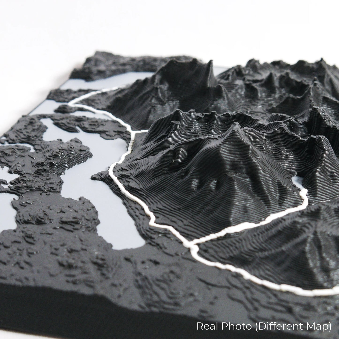
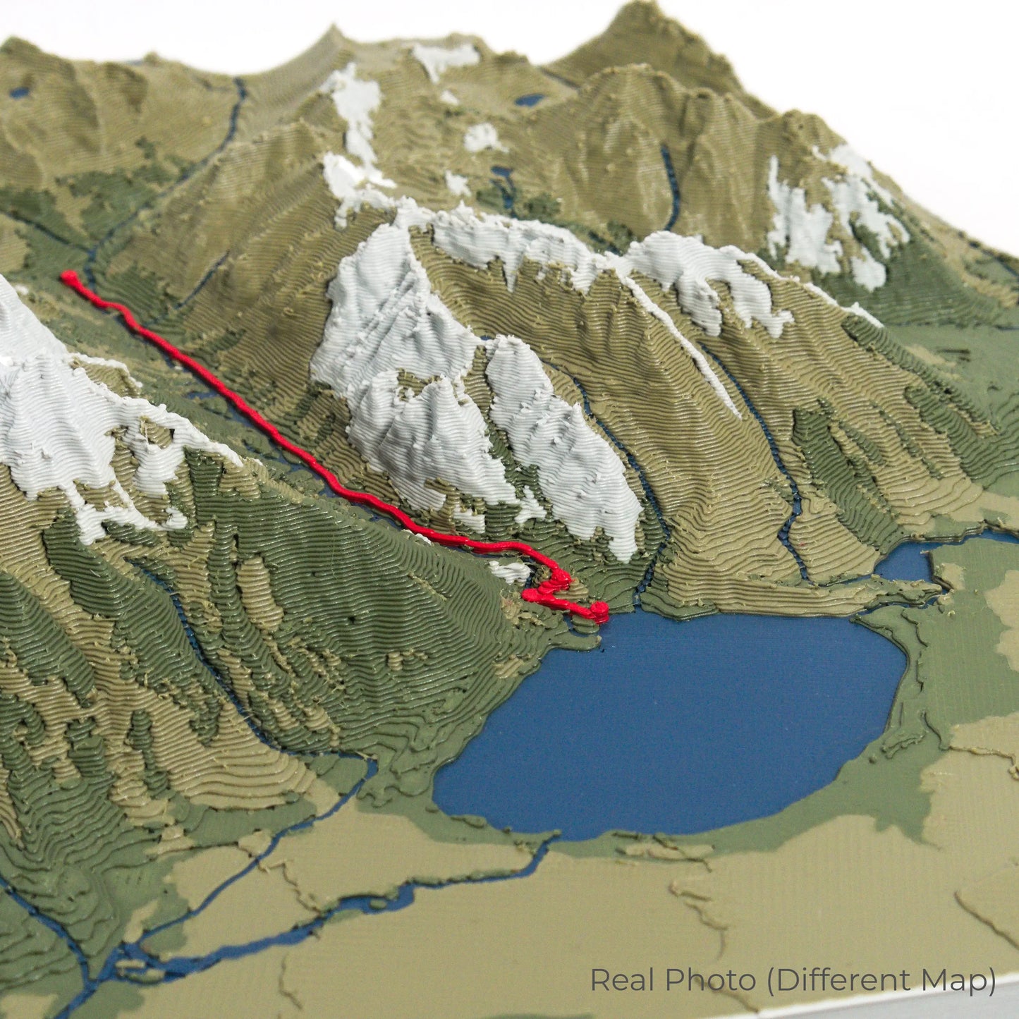
Crafted with Detail and Precision
Our maps are meticulously designed using advanced colour 3D printing technology and PLA, a durable and plant-based plastic.
Please Note: Some product photos are digitally rendered for illustrative purposes and are labelled as "Rendered Image" for clarity. The actual product may show slight variations and natural imperfections due to the 3D printing process and material properties.
Bring Fiordland’s Wilderness Home
Celebrate your love for New Zealand’s great outdoors with this one-of-a-kind keepsake. Whether you're reminiscing about past adventures or planning your next trek, this 3D map is a tribute to the breathtaking beauty of the Hump Ridge Track.
Order now and let us create a memento as unforgettable as your journey!
Data Sources
Our maps are created using high-precision topographic data from the following sources:
OpenStreetMap: openstreetmap.org/copyright
Copernicus WorldDEM-30: Produced using Copernicus WorldDEM-30 © DLR e.V. 2010-2014 and © Airbus Defence and Space GmbH 2014-2018, provided under COPERNICUS by the European Union and ESA; all rights reserved.
Share