Mapped3D 3D Printed Maps Auckland, New Zealand
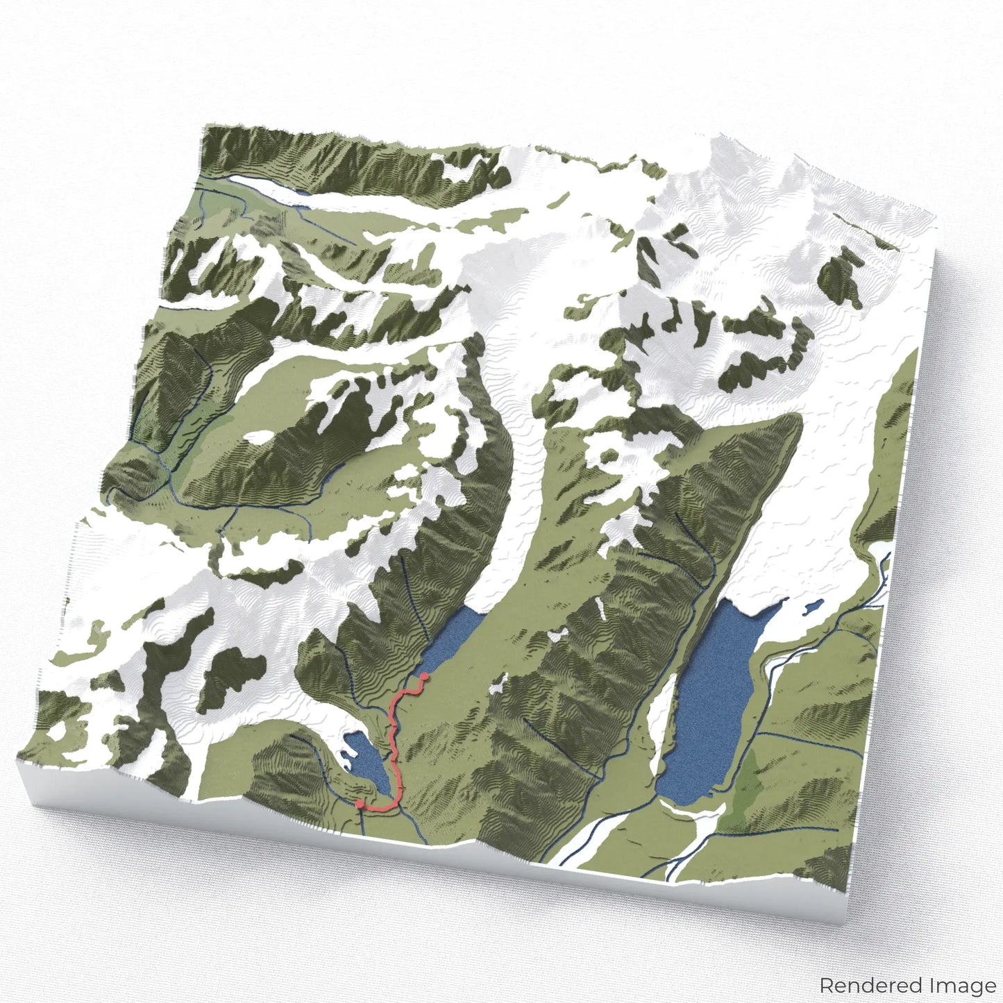
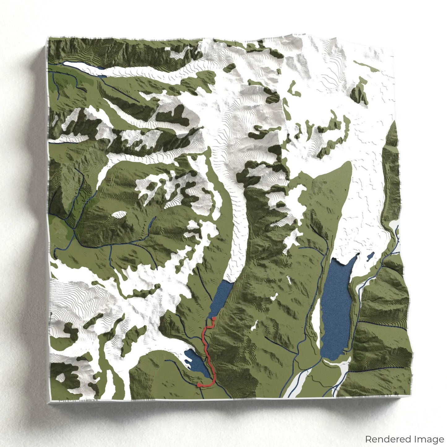
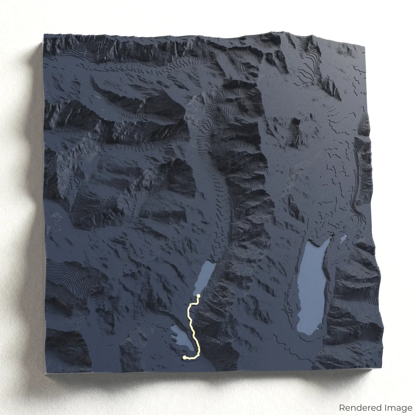
Hooker Valley Track 3D Map
Hooker Valley Track 3D Map
ORDERS NOT SHIPPED TILL SEPTEMBER!!!
Couldn't load pickup availability
Journey Through the Hooker Valley
Immerse yourself in the breathtaking landscapes of Aoraki/Mount Cook National Park with our 3D topographic map of the Hooker Valley Track. This spectacular trail leads to unforgettable views of New Zealand’s highest peak.
A Scenic Walk to Aoraki’s Glacial Wonderland
The Hooker Valley Track stretches approximately 10 kilometres (6 miles) round trip, offering an easy yet rewarding hike. Crossing three suspension bridges, passing alpine streams, and leading to the stunning Hooker Lake, this trail is one of New Zealand’s most iconic walks. Whether you've explored this incredible route or dream of visiting, our handcrafted map captures the essence of the Hooker Valley Track.
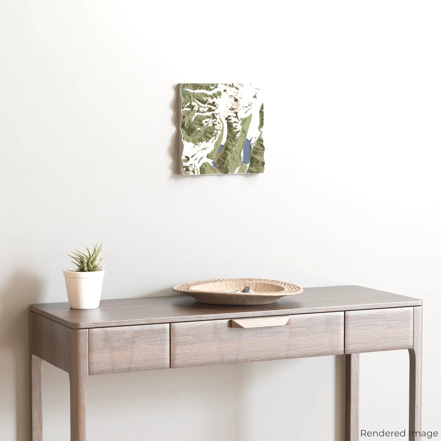
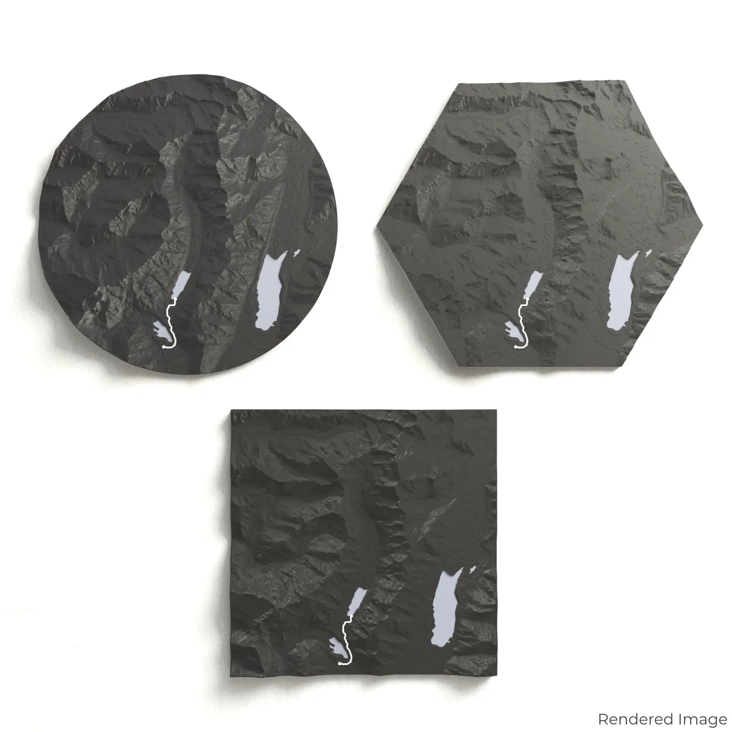
Customise Your Trail-Inspired Keepsake
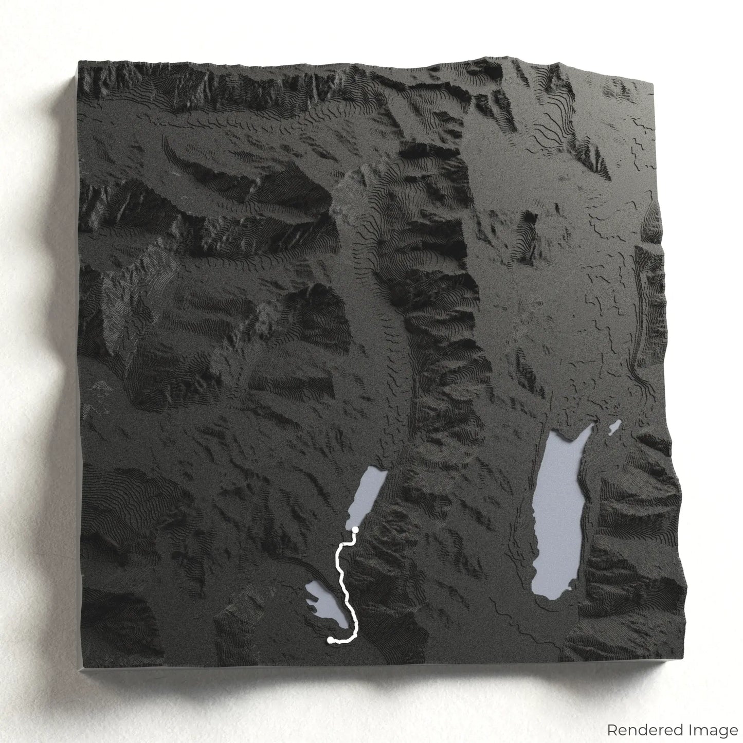
Choose from four striking colour themes and three unique shapes to create a stunning centrepiece for your wall or table. This handcrafted map is the perfect way to commemorate your Hooker Valley Track adventure or as a thoughtful gift for fellow explorers.
Choose the Right Size and Shape for You
Circle: 222 x 222 x 41 mm (8.7 x 8.7 x 1.6 inches)
Hexagon: 242 x 212 x 41 mm (9.5 x 8.3 x 1.6 inches)
Square: 198 x 198 x 41 mm (7.8 x 7.8 x 1.6 inches)
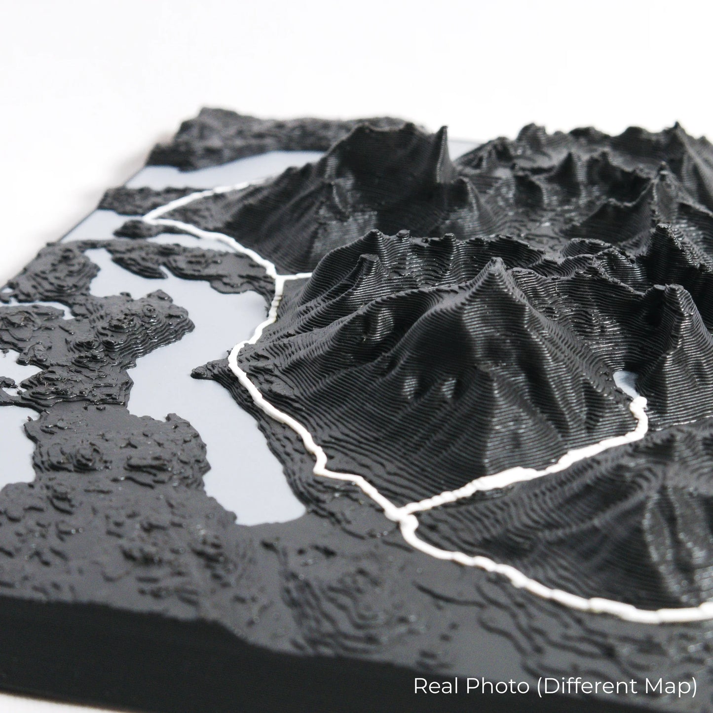
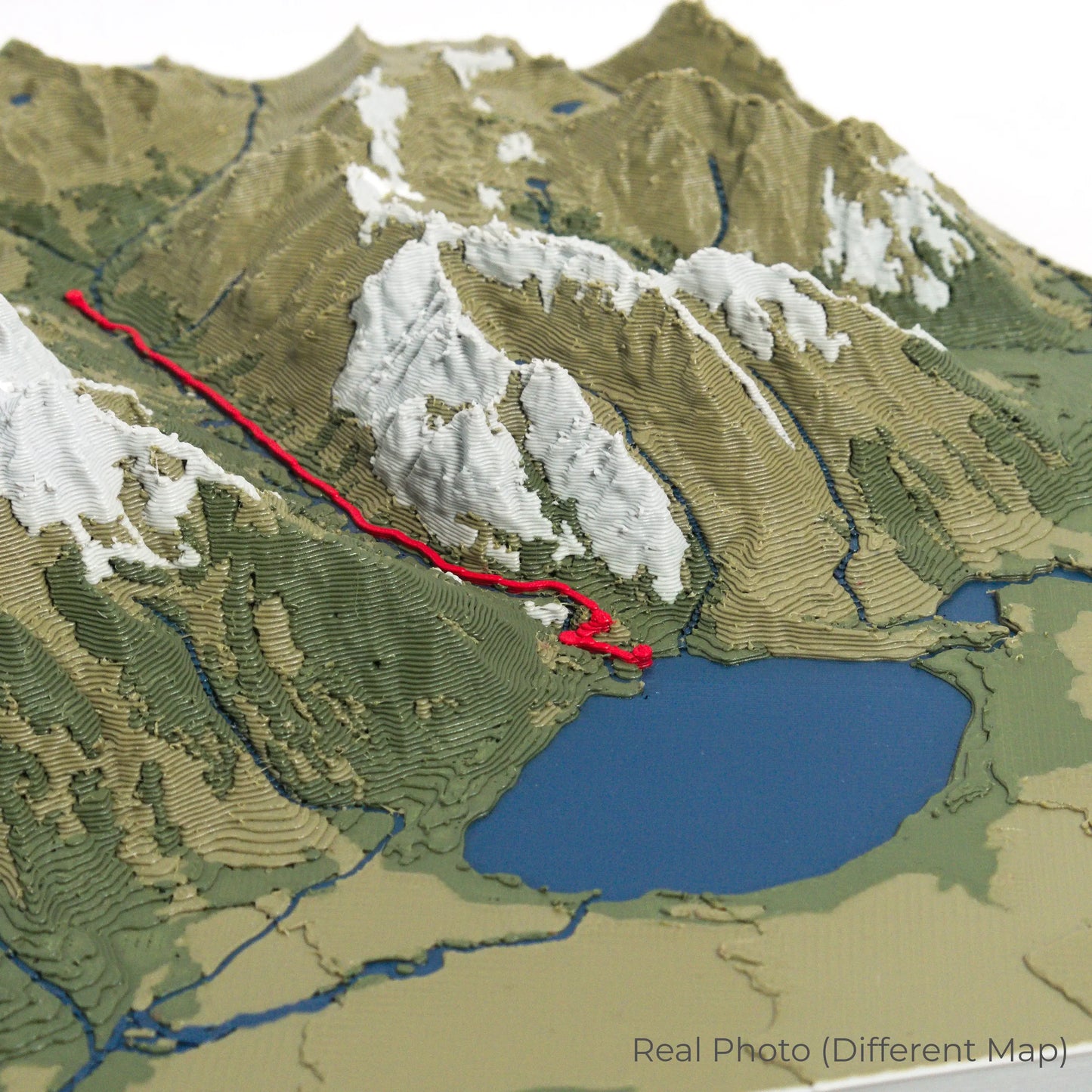
Crafted with Precision and Detail
Our maps are meticulously designed using advanced colour 3D printing technology and PLA, a durable and plant-based plastic.
Please Note: Some product photos are digitally rendered for illustrative purposes and are labelled as "Rendered Image" for clarity. The actual product may show slight variations and natural imperfections due to the 3D printing process and material properties.
Bring the Beauty of Aoraki Home
Celebrate your love for New Zealand’s stunning alpine landscapes with this one-of-a-kind keepsake. Whether you're reminiscing about past hikes or planning your next outdoor adventure, this 3D map is a tribute to the beauty of the Hooker Valley Track.
Order now and let us create a memento as unforgettable as your journey!
Data Sources
Our maps are created using high-precision topographic data from the following sources:
OpenStreetMap: openstreetmap.org/copyright
Copernicus WorldDEM-30: Produced using Copernicus WorldDEM-30 © DLR e.V. 2010-2014 and © Airbus Defence and Space GmbH 2014-2018, provided under COPERNICUS by the European Union and ESA; all rights reserved.
Share