Discover the Highline Trail
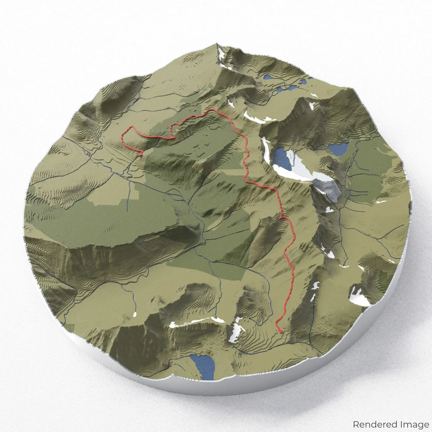
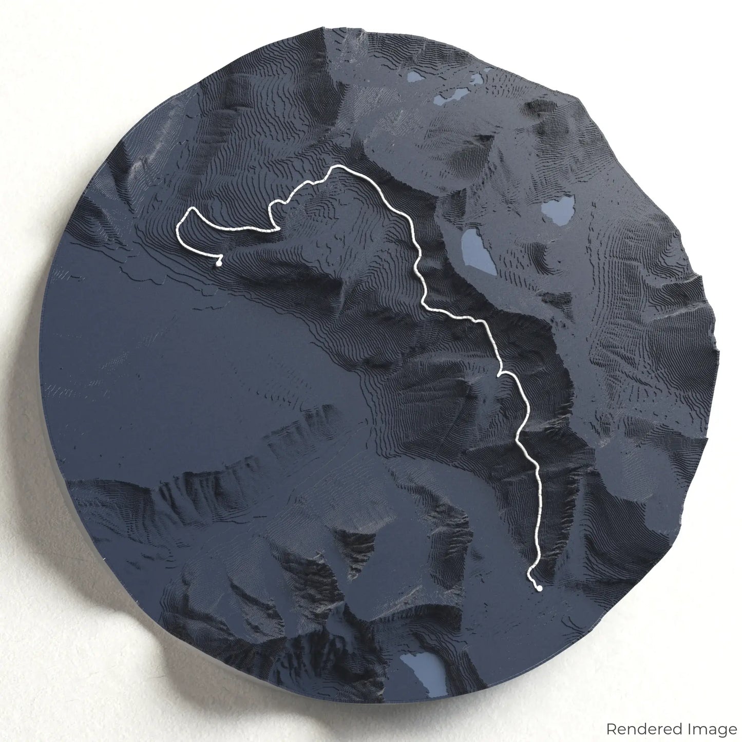
Experience one of Glacier National Park’s most breathtaking hikes with our 3D topographic map of the Highline Trail. This spectacular route follows the Continental Divide, offering panoramic views, alpine meadows, and rugged mountain landscapes.
Hike Along the Continental Divide
The Highline Trail spans approximately 24 kilometres (15 miles), guiding hikers along the dramatic Garden Wall, with stunning vistas of the glacial valleys below. Key highlights include the famous Haystack Pass, wildflower-filled meadows, and potential wildlife sightings of bighorn sheep and mountain goats. Whether you've hiked this unforgettable trail or dream of doing so, our handcrafted map captures the essence of the Highline Trail.
Customise Your Unique Keepsake
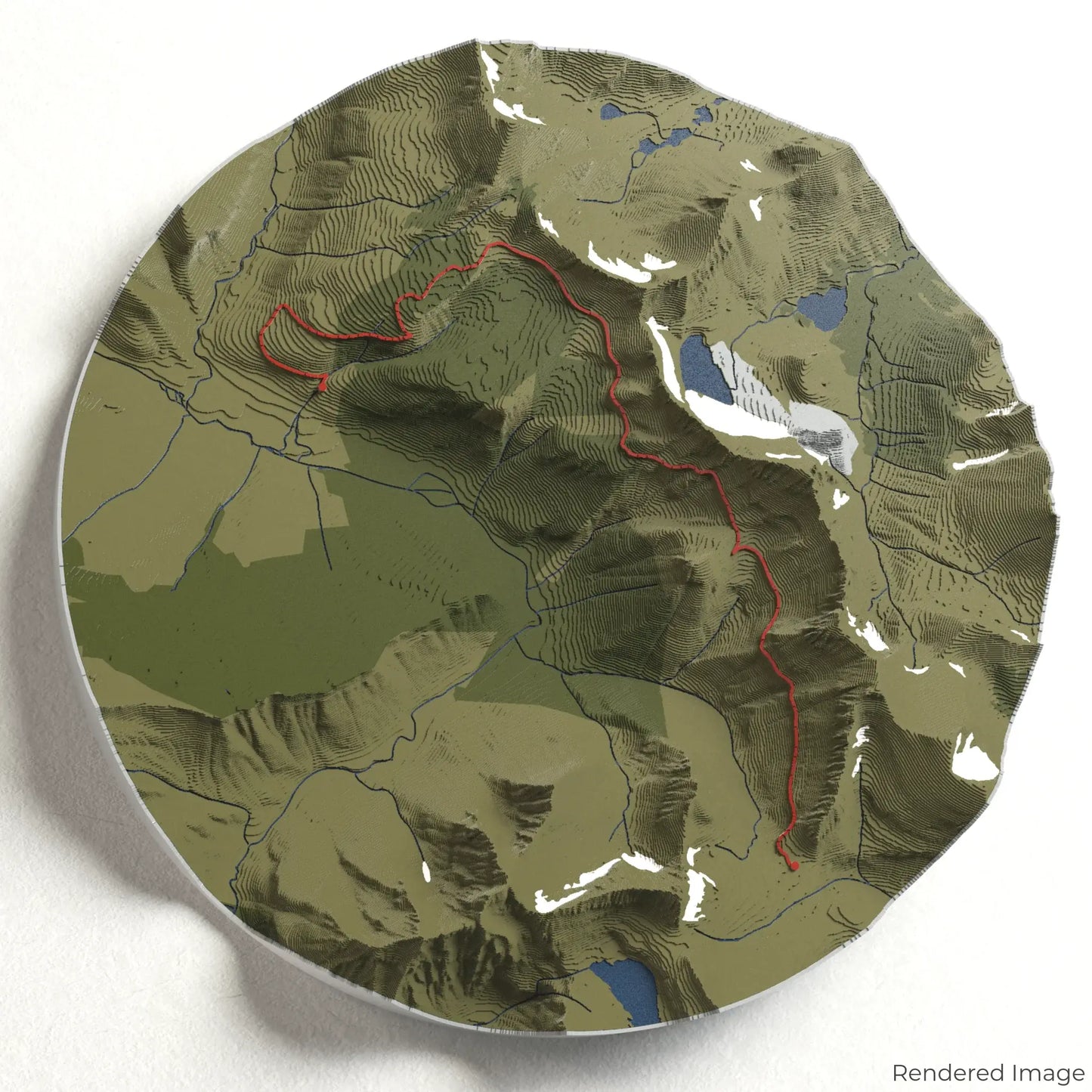
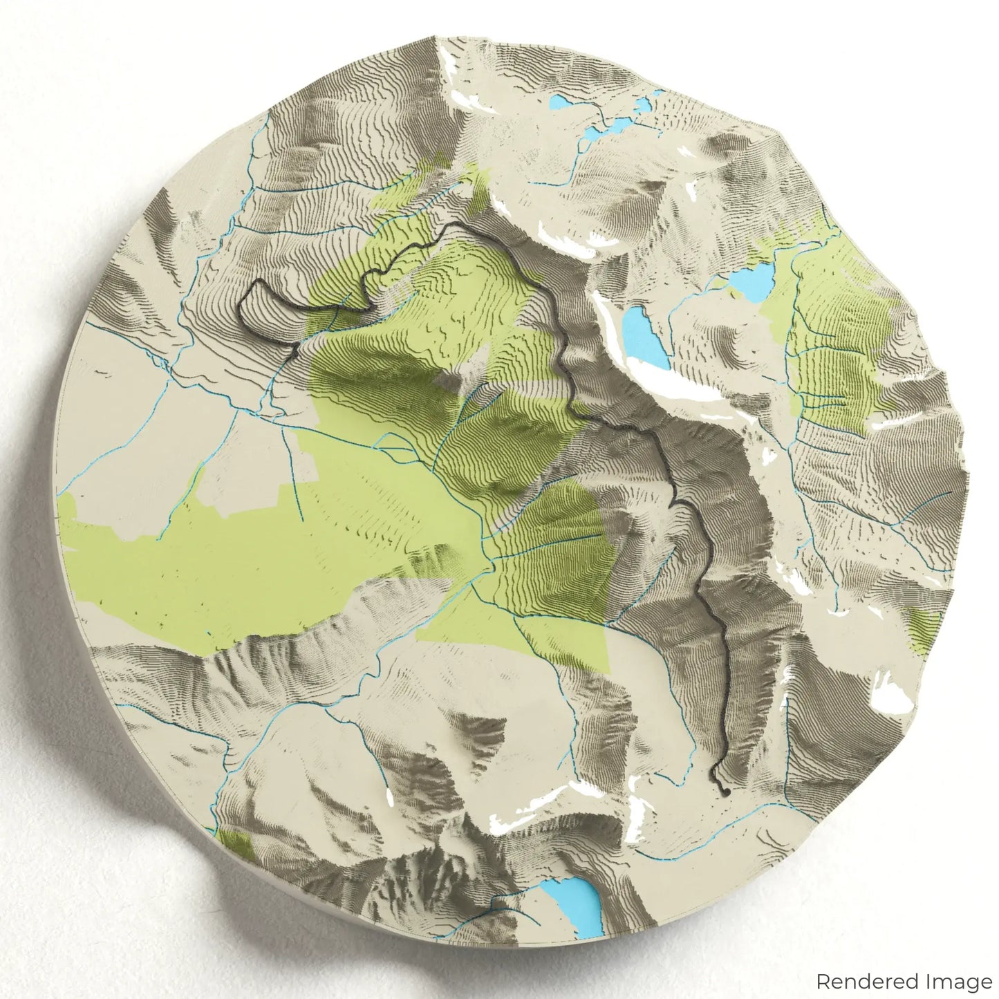
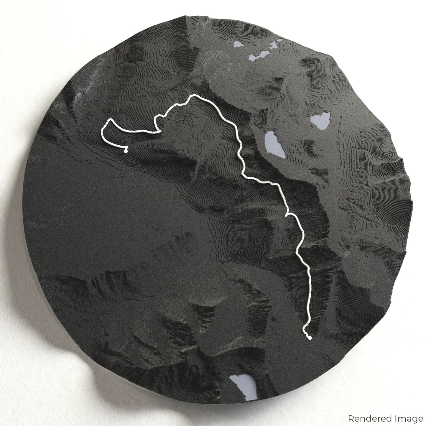
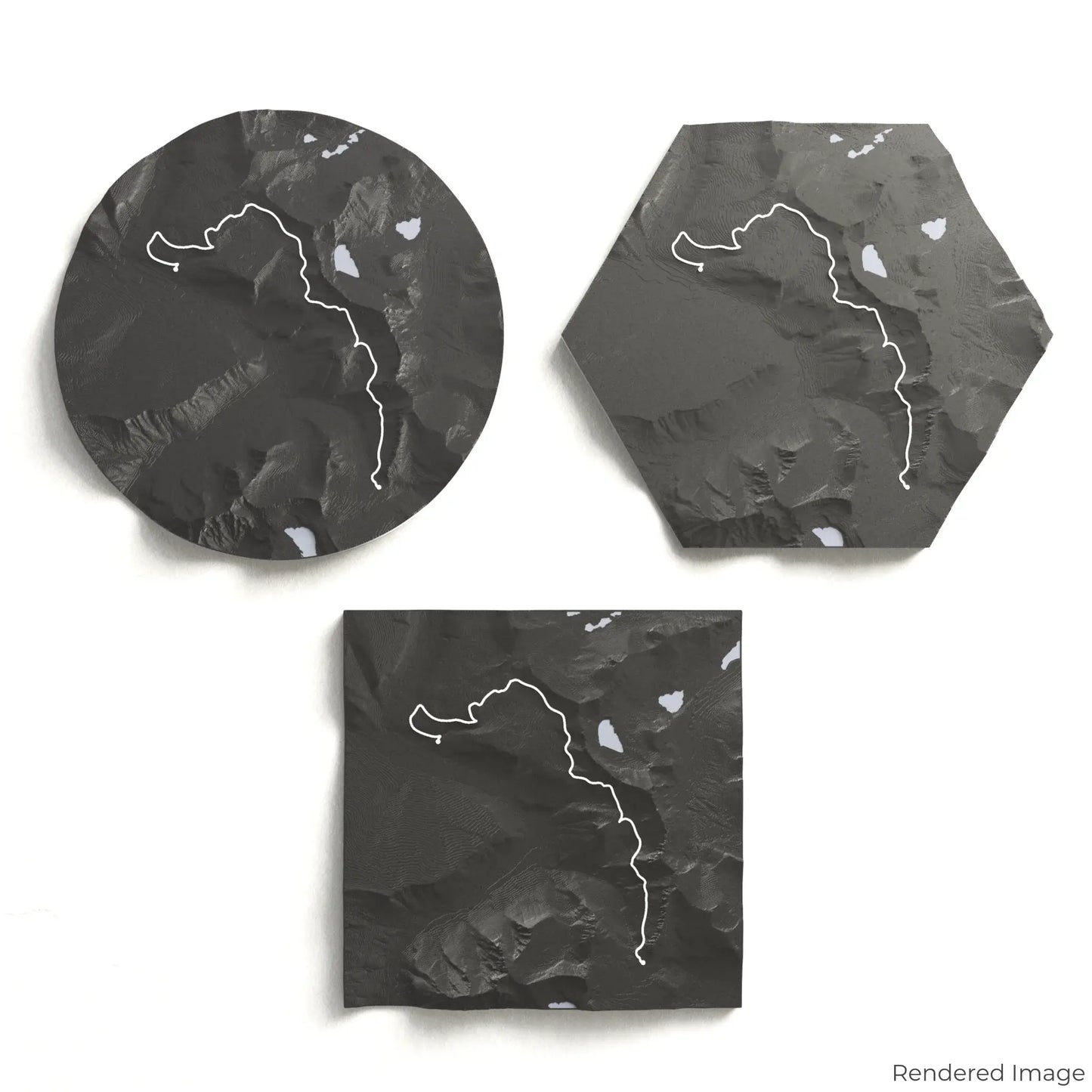
Choose from four striking colour themes and three unique shapes to create a stunning centrepiece for your wall or table. This handcrafted map is the perfect way to commemorate your Highline Trail adventure or as a meaningful gift for fellow explorers.
Pick Your Ideal Size and Shape
Circle: 222 x 222 x 34 mm (8.7 x 8.7 x 1.3 inches)
Hexagon: 242 x 212 x 34 mm (9.5 x 8.3 x 1.3 inches)
Square: 198 x 198 x 34 mm (7.8 x 7.8 x 1.3 inches)
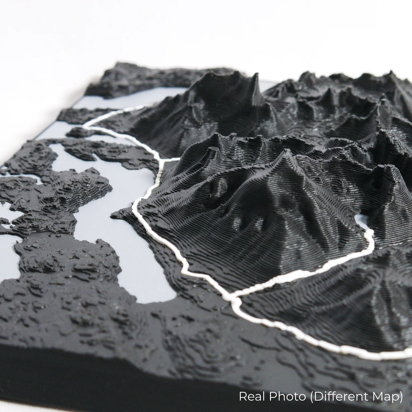
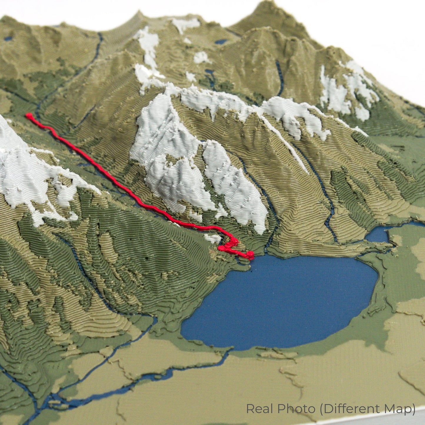
Crafted with Detail and Care
Our maps are meticulously crafted using advanced colour 3D printing technology and PLA, a durable and plant-based plastic.
Please Note: Some product photos are digitally rendered for illustrative purposes and are labelled as "Rendered Image" for clarity. The actual product may show slight variations and natural imperfections due to the 3D printing process and material properties.
Bring Glacier National Park Home
Celebrate your love for Montana’s stunning landscapes with this one-of-a-kind keepsake. Whether you're reminiscing about past treks or planning your next hike, this 3D map is a tribute to the awe-inspiring beauty of the Highline Trail.
Order now and let us create a memento as unforgettable as your journey!
Data Sources
Our maps are created using high-precision topographic data from the following sources:
OpenStreetMap: openstreetmap.org/copyright
Copernicus WorldDEM-30: Produced using Copernicus WorldDEM-30 © DLR e.V. 2010-2014 and © Airbus Defence and Space GmbH 2014-2018, provided under COPERNICUS by the European Union and ESA; all rights reserved.