Discover the Beauty of the Heaphy Track
Experience one of New Zealand’s Great Walks with our 3D topographic map of the Heaphy Track. This stunning trail takes you through diverse landscapes, from lush rainforests to rugged coastal scenery.
A Journey Across New Zealand’s Wild West
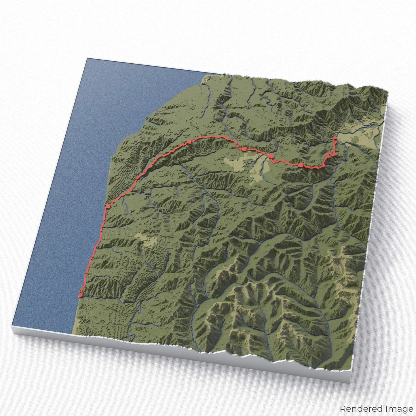
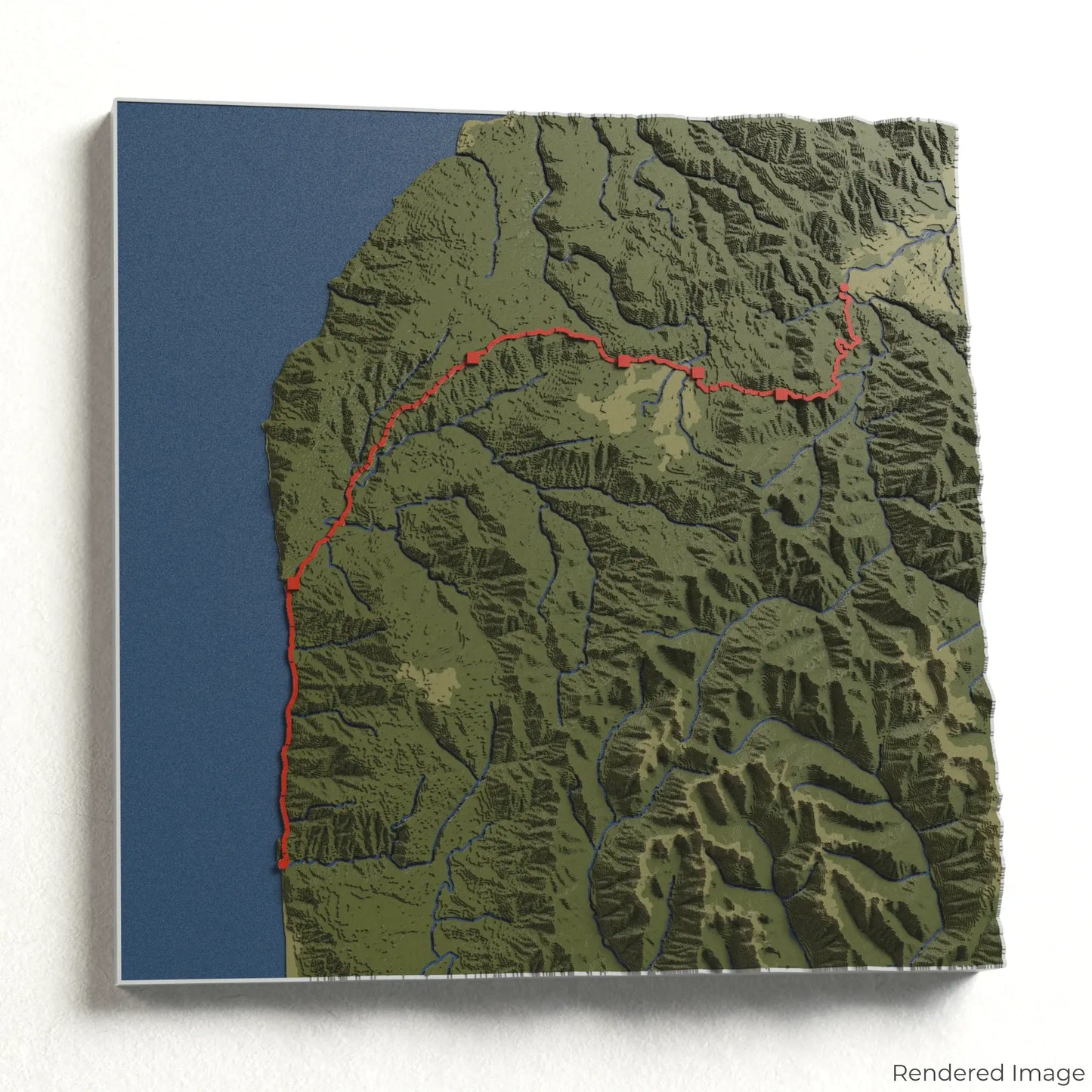
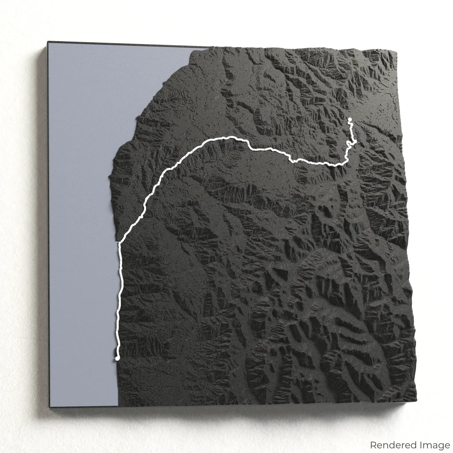
Stretching approximately 78 kilometres (48 miles), the Heaphy Track leads hikers through Kahurangi National Park, where dense forests, alpine tussock lands, and dramatic cliffs meet the roaring Tasman Sea. Whether you’ve completed this iconic trail or dream of exploring it, our handcrafted map captures the essence of the Heaphy Track.
Customise Your Own Trail Keepsake
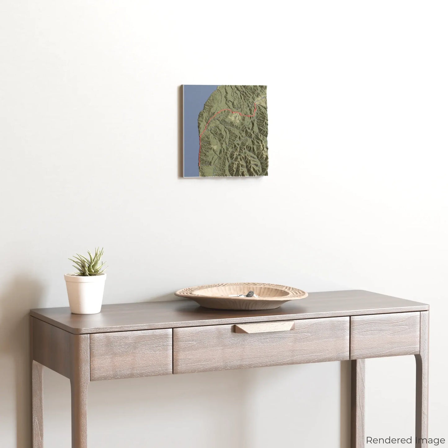
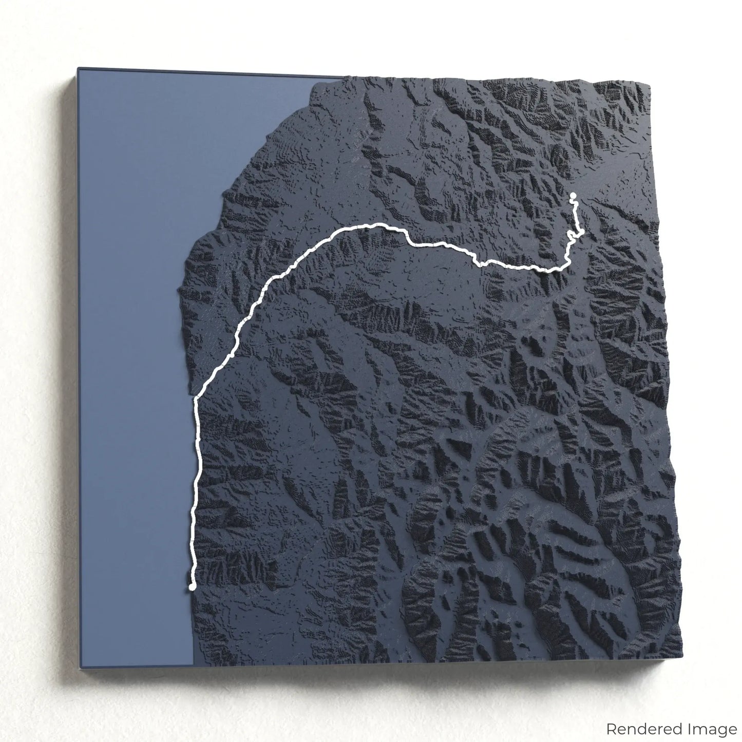
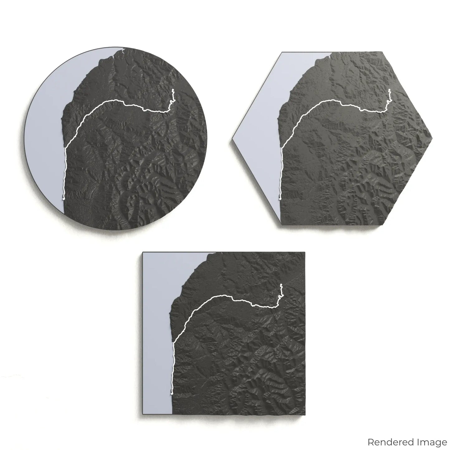
Choose from four striking colour themes and three unique shapes to create a stunning centrepiece for your wall or table. This handcrafted map is the perfect way to commemorate your Heaphy Track journey or as a meaningful gift for fellow adventurers.
Select the Ideal Size and Shape
Circle: 222 x 222 x 21 mm (8.7 x 8.7 x 0.8 inches)
Hexagon: 242 x 212 x 21 mm (9.5 x 8.3 x 0.8 inches)
Square: 198 x 198 x 21 mm (7.8 x 7.8 x 0.8 inches)
Crafted for Detail and Precision
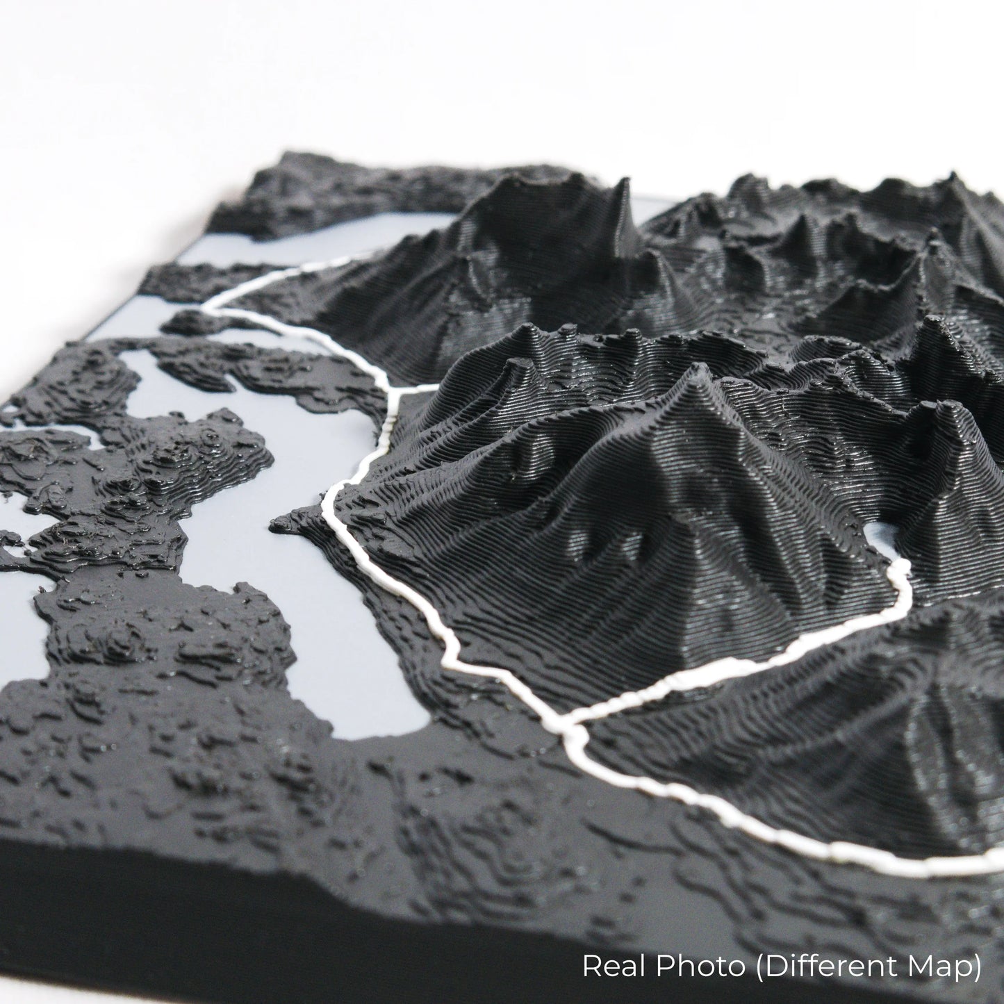
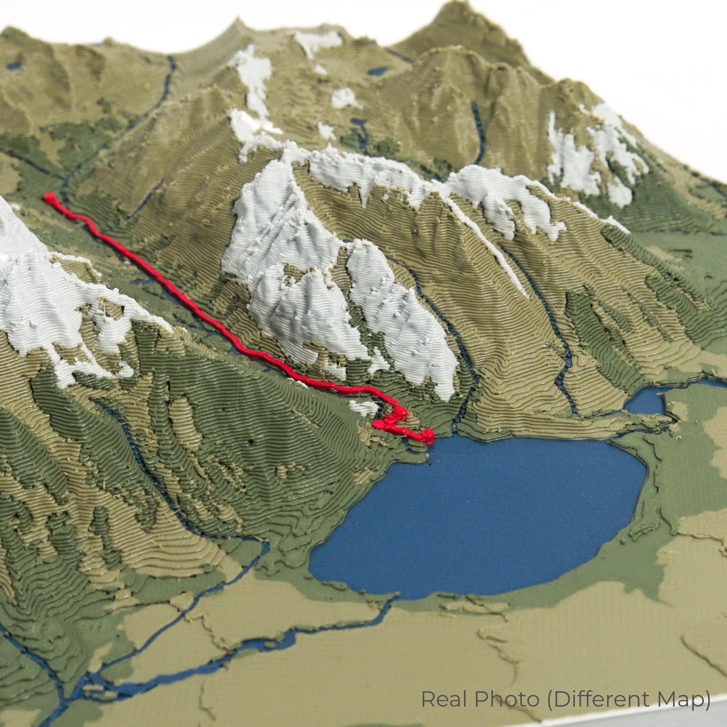
Our maps are meticulously designed using advanced colour 3D printing technology and PLA, a durable and plant-based plastic.
Please Note: Some product photos are digitally rendered for illustrative purposes and are labelled as "Rendered Image" for clarity. The actual product may show slight variations and natural imperfections due to the 3D printing process and material properties.
Bring the Spirit of New Zealand Home
Celebrate your love for adventure with this one-of-a-kind keepsake. Whether you're reminiscing about past hikes or planning your next great walk, this 3D map is a tribute to the stunning landscapes of the Heaphy Track.
Order now and let us create a memento as unforgettable as your journey!
Data Sources
Our maps are created using high-precision topographic data from the following sources:
OpenStreetMap: openstreetmap.org/copyright
Copernicus WorldDEM-30: Produced using Copernicus WorldDEM-30 © DLR e.V. 2010-2014 and © Airbus Defence and Space GmbH 2014-2018, provided under COPERNICUS by the European Union and ESA; all rights reserved.