Discover the Beauty of the Great Glen Way
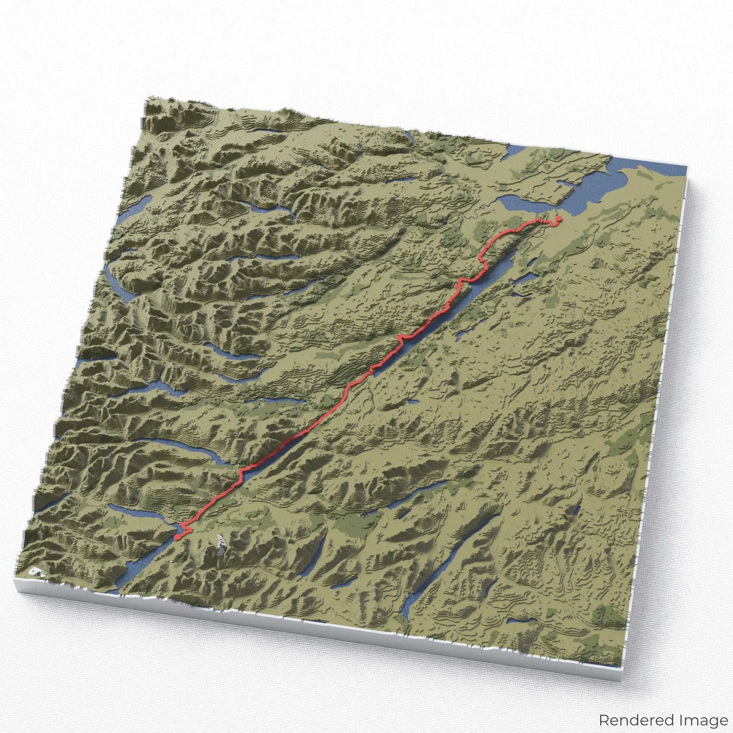
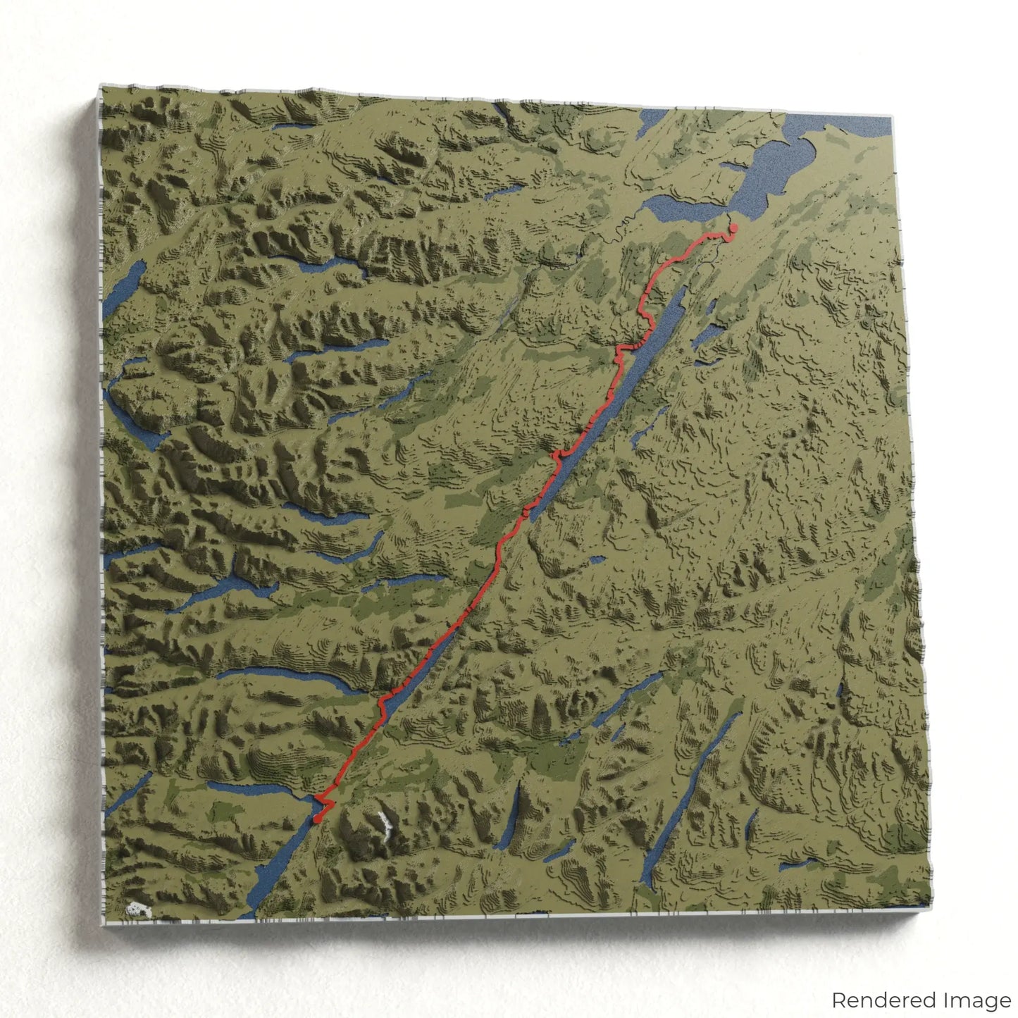
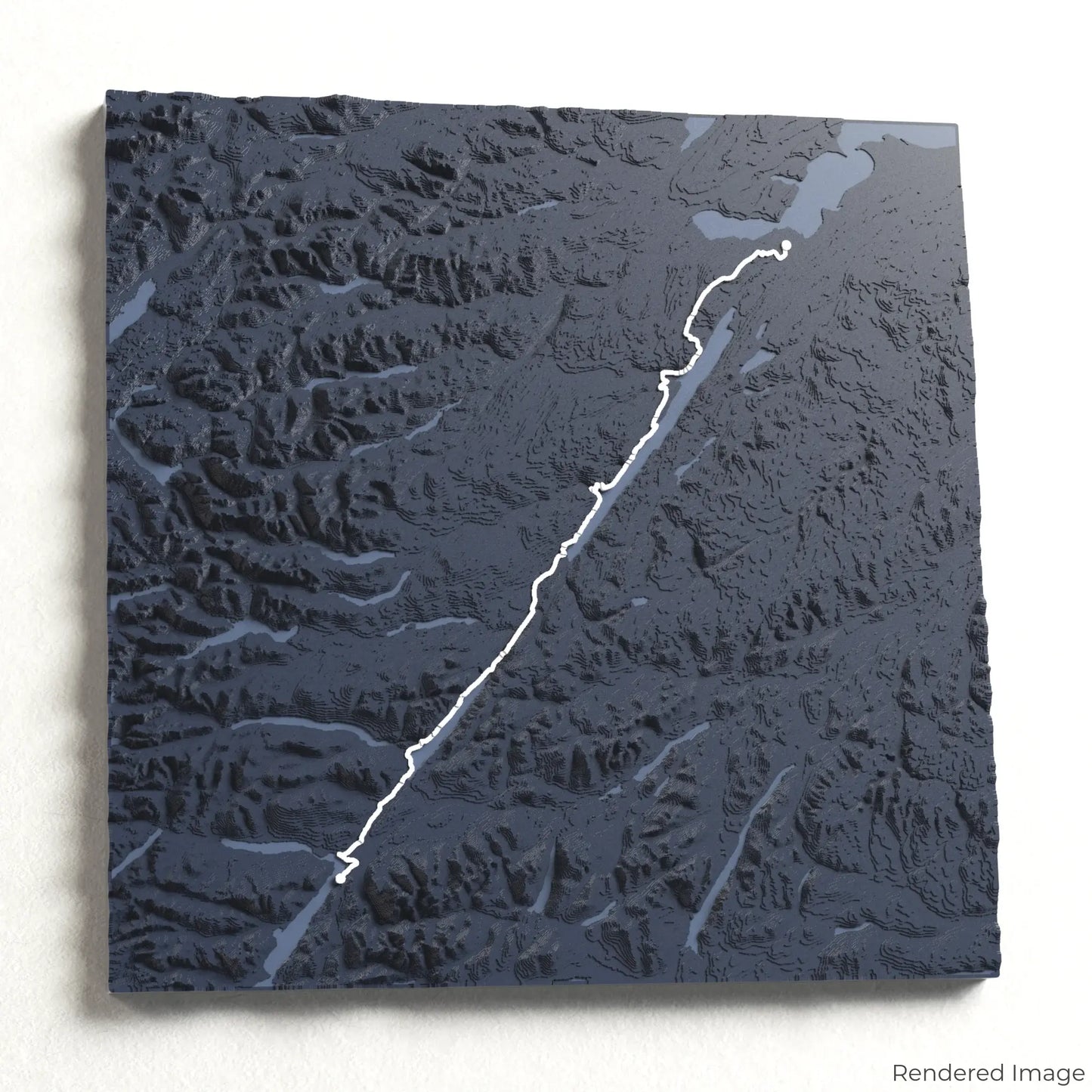
Journey through Scotland’s breathtaking landscapes with our 3D topographic map of the Great Glen Way. This iconic long-distance trail follows the natural fault line that shaped Scotland’s dramatic Highlands.
A Walk Through Scotland’s Heart
Stretching approximately 117 kilometres (73 miles), the Great Glen Way leads hikers from Fort William to Inverness, passing through legendary Loch Ness, serene forests, and rugged mountain scenery. Whether you've walked this spectacular trail or dream of exploring it, our handcrafted map captures the essence of the Great Glen Way.
A Custom Keepsake for Your Adventure
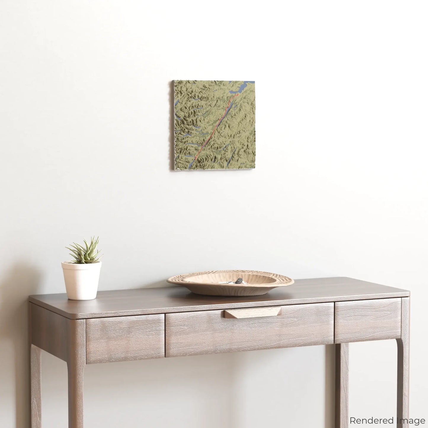
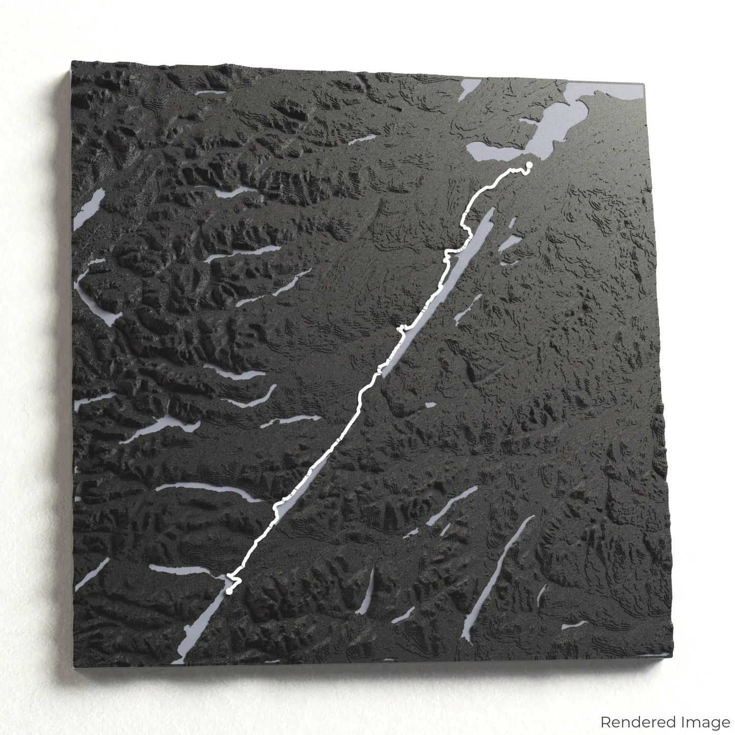
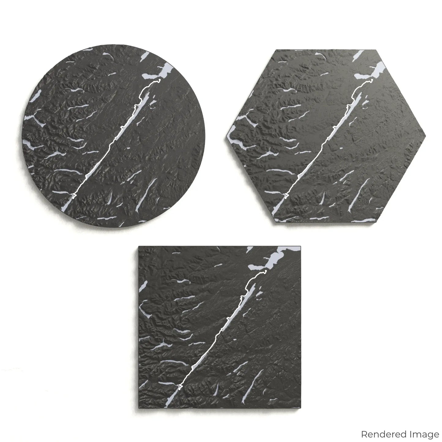
Choose from four striking colour themes and three unique shapes to create a stunning centrepiece for your wall or table. This handcrafted map is the perfect way to commemorate your Great Glen Way journey or as a meaningful gift for fellow explorers.
Choose Your Ideal Size and Shape
Circle: 222 x 222 x 16 mm (8.7 x 8.7 x 0.6 inches)
Hexagon: 242 x 212 x 16 mm (9.5 x 8.3 x 0.6 inches)
Square: 198 x 198 x 16 mm (7.8 x 7.8 x 0.6 inches)
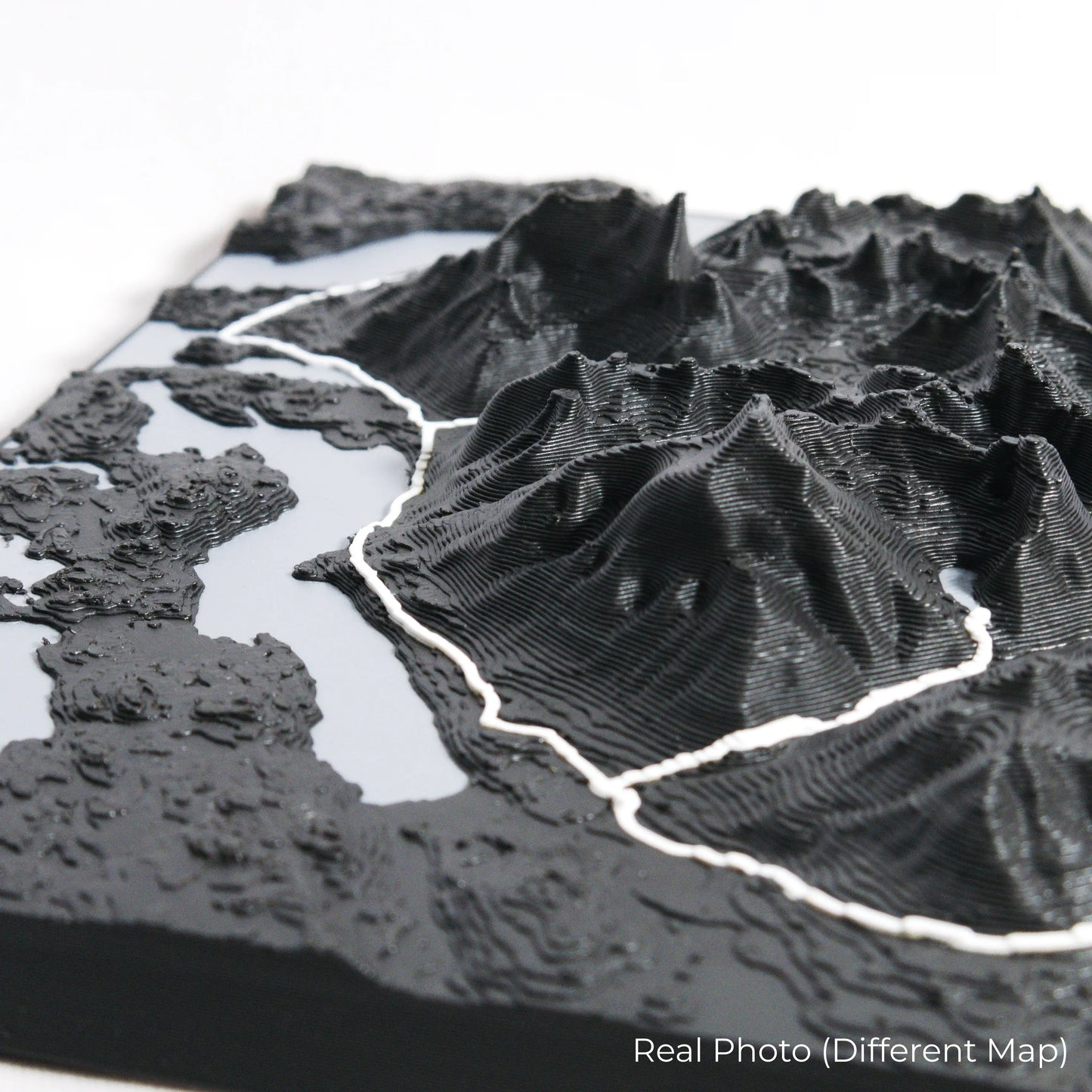
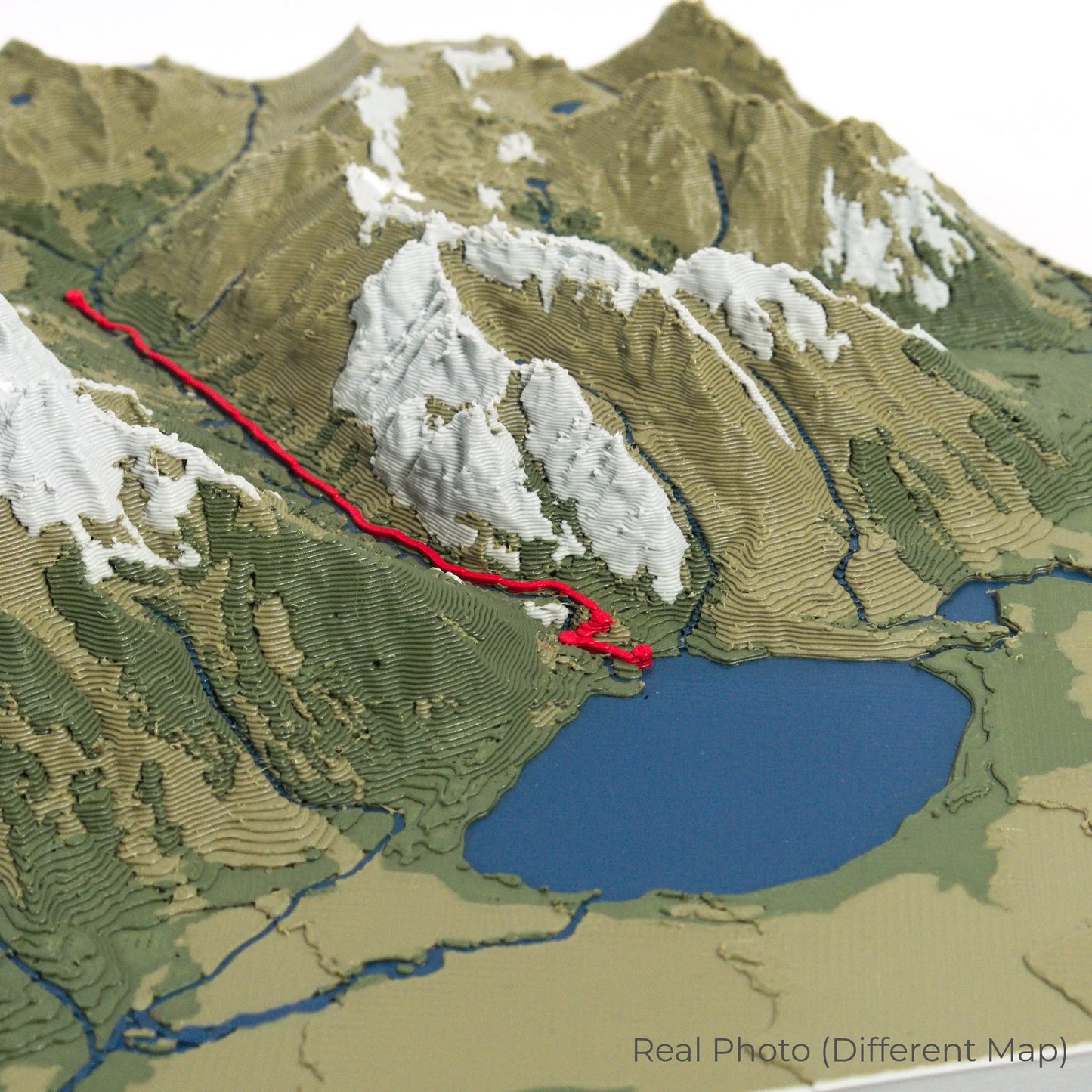
Designed with Precision and Craftsmanship
Our maps are meticulously crafted using advanced colour 3D printing technology and PLA, a durable and plant-based plastic.
Please Note: Some product photos are digitally rendered for illustrative purposes and are labelled as "Rendered Image" for clarity. The actual product may show slight variations and natural imperfections due to the 3D printing process and material properties.
Bring the Highlands Into Your Home
Celebrate your love for Scotland’s wild landscapes with this one-of-a-kind keepsake. Whether you're reminiscing about past treks or planning your next outdoor adventure, this 3D map is a tribute to the Great Glen Way.
Order now and let us create a memento as unforgettable as your journey!
Data Sources
Our maps are created using high-precision topographic data from the following sources:
OpenStreetMap: openstreetmap.org/copyright
Copernicus WorldDEM-30: Produced using Copernicus WorldDEM-30 © DLR e.V. 2010-2014 and © Airbus Defence and Space GmbH 2014-2018, provided under COPERNICUS by the European Union and ESA; all rights reserved.