Mapped3D 3D Printed Maps Auckland, New Zealand
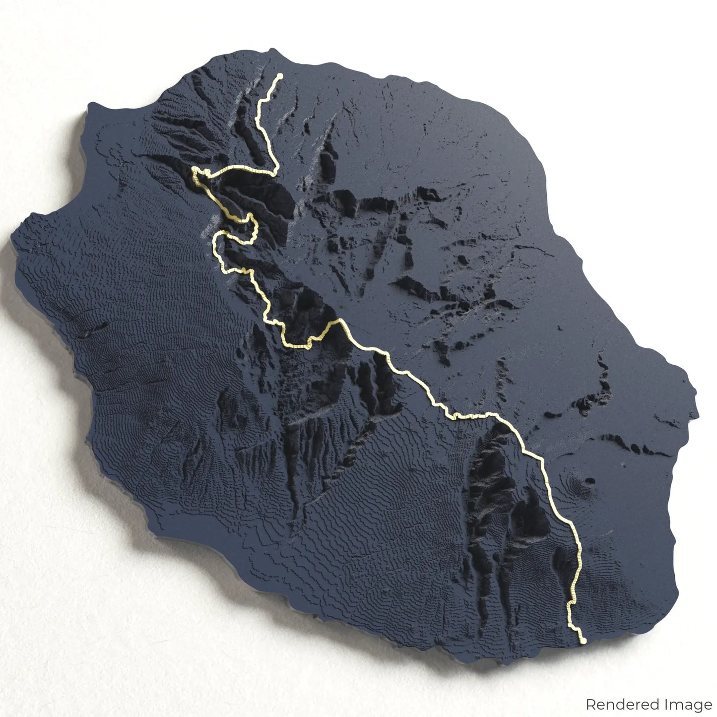
GR R2 - Ile de la Réunion 3D Map
GR R2 - Ile de la Réunion 3D Map
ORDERS NOT SHIPPED TILL SEPTEMBER!!!
Couldn't load pickup availability
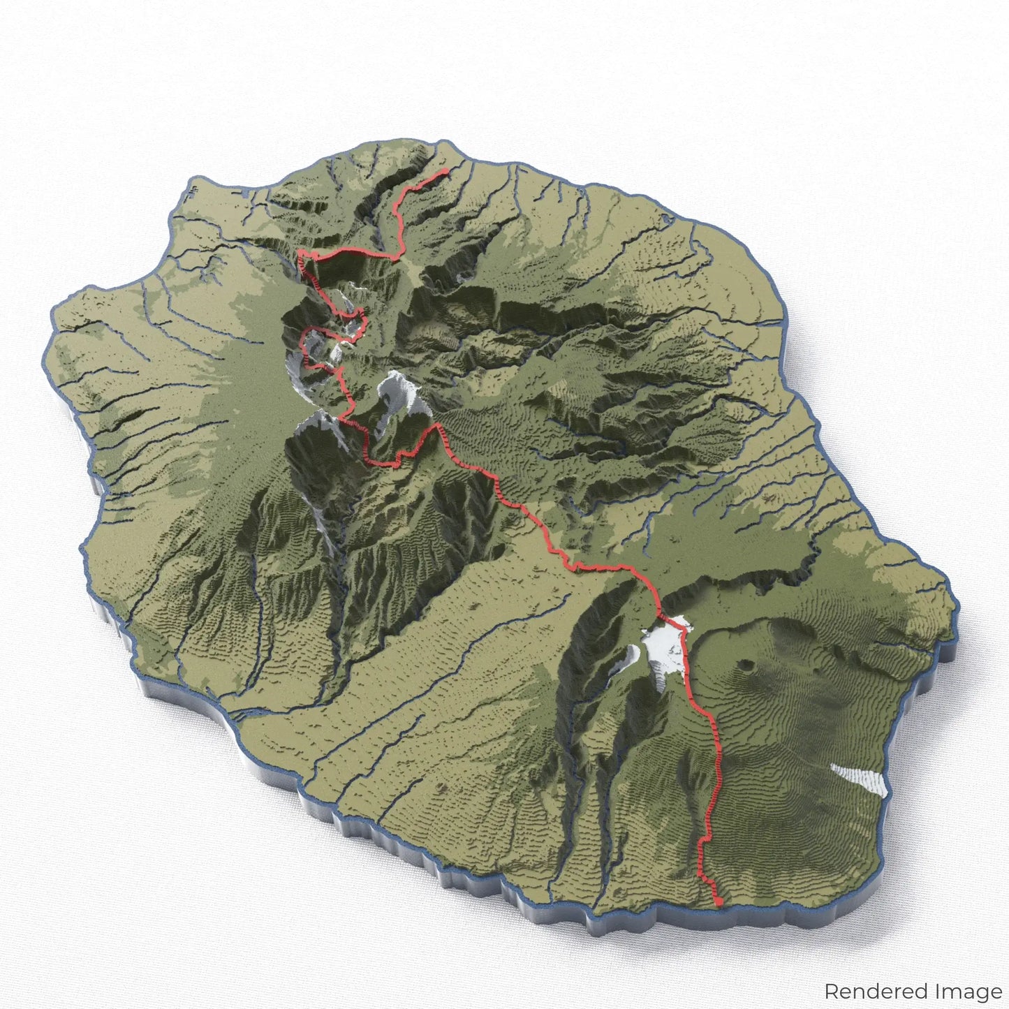
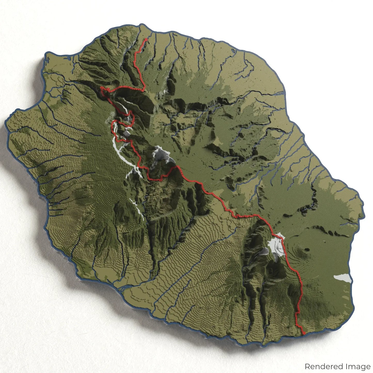
Embark on an extraordinary journey with our 3D topographic map of the GR R2 Trail. This iconic long-distance hiking route traverses the breathtaking landscapes of Réunion Island, offering unparalleled views of volcanic peaks, lush forests, and dramatic ravines.
--- An Adventure Through Paradise ---
The GR R2 Trail is renowned for its diverse and challenging terrain, taking hikers from the island’s rugged coastline to its highest point, the majestic Piton des Neiges. Along the way, trekkers encounter lush rainforests, vibrant Creole villages, and the otherworldly beauty of the active volcano Piton de la Fournaise. Whether you’ve tackled this epic trail or dream of exploring it, our handcrafted map captures the spirit of this unforgettable journey.
--- Customisable Keepsakes ---
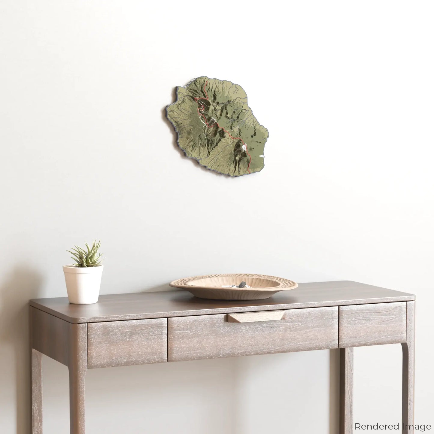
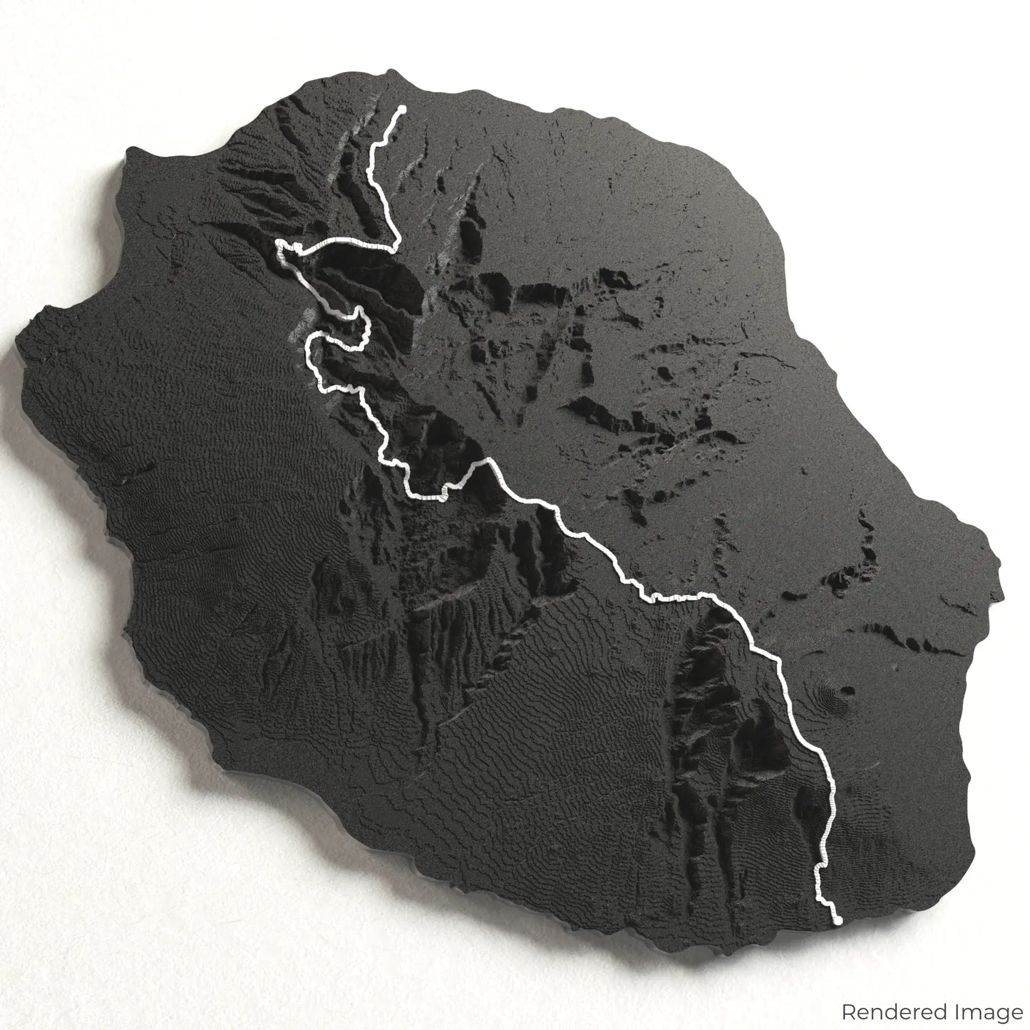
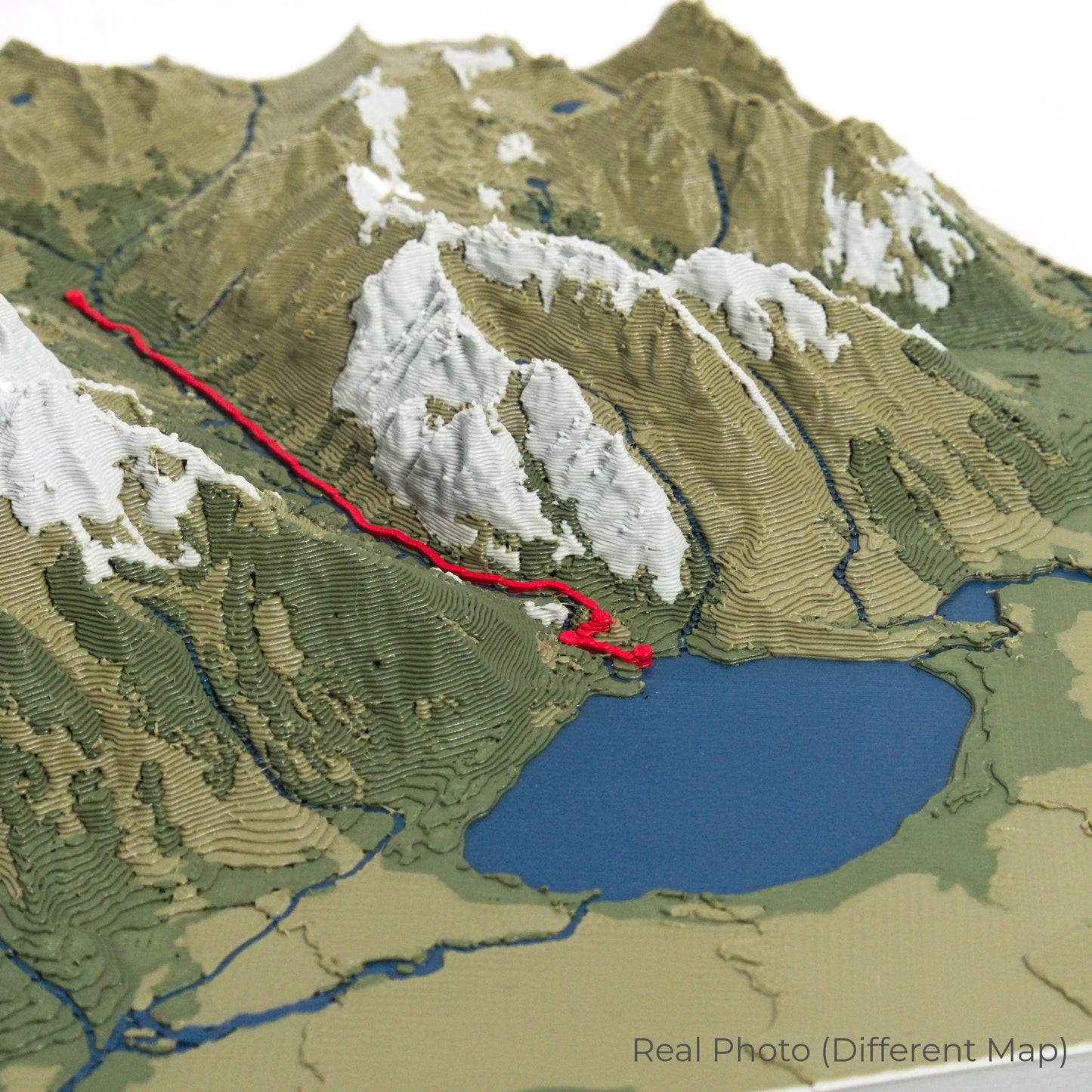
Choose from five striking colour themes to create an eye-catching centrepiece for your wall or table. This handcrafted map is the perfect way to commemorate your trek across Réunion Island or as a thoughtful gift for fellow adventurers.
Looking for a different trail or custom design? Contact us to create a bespoke 3D map tailored to your favourite destination.
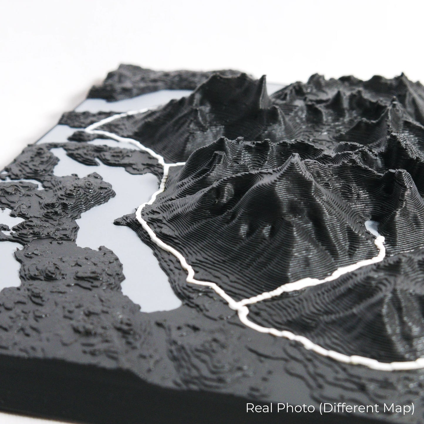
--- Premium Craftsmanship ---
Our maps are meticulously crafted using advanced colour 3D printing technology and PLA, a durable and eco-friendly, plant-based plastic.
Please Note: Some product photos are digitally rendered for illustrative purposes and are labeled as "Rendered Image" for clarity. The actual product may feature slight variations or unique imperfections due to the 3D printing process and material characteristics, adding to its charm and authenticity.
--- Available Sizes and Shapes ---
Island: 250 x 225 x 33 mm (9.8 x 8.9 x 1.3 inches)
--- Data Sources ---
Our maps are created using high-precision topographic data from the following sources:
OpenStreetMap: openstreetmap.org/copyright
Copernicus WorldDEM-30: Produced using Copernicus WorldDEM-30 © DLR e.V. 2010-2014 and © Airbus Defence and Space GmbH 2014-2018, provided under COPERNICUS by the European Union and ESA; all rights reserved.
--- Bring Réunion Island Home ---
Celebrate your love for adventure with this one-of-a-kind keepsake. Whether you're reliving cherished memories or inspiring your next journey, this 3D map is a testament to the natural beauty of the GR R2 Trail.
Order now and let us create a memento as unforgettable as your journey!
--- Disclaimer ---
This product is independently created using open-source geographical data and is not affiliated with, endorsed by, or associated with the Fédération Française de la Randonnée Pédestre (FFRandonnée). The GR R2 name is used here purely for descriptive purposes to indicate the geographic area represented in this map.
Share