Discover the Foothills Trail
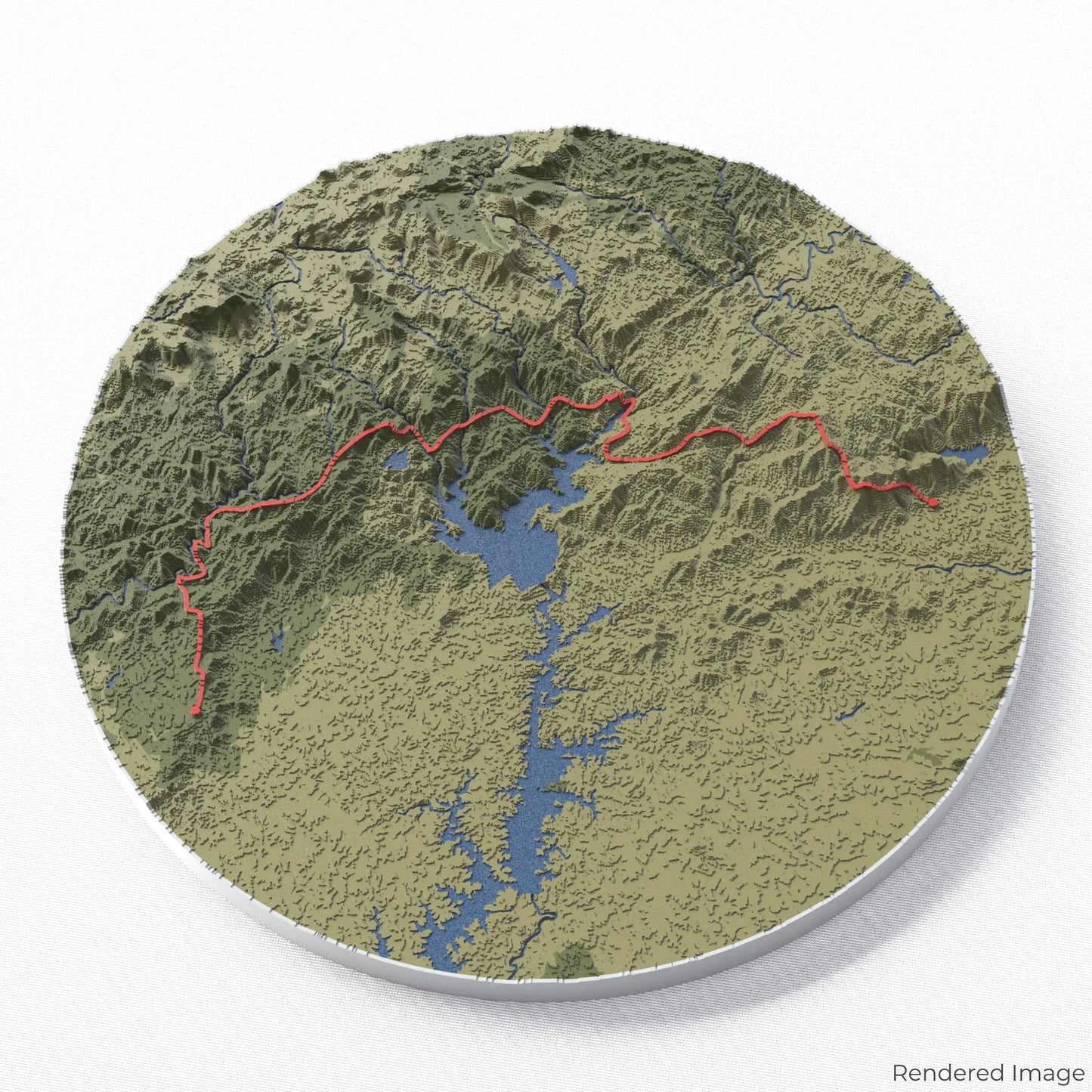
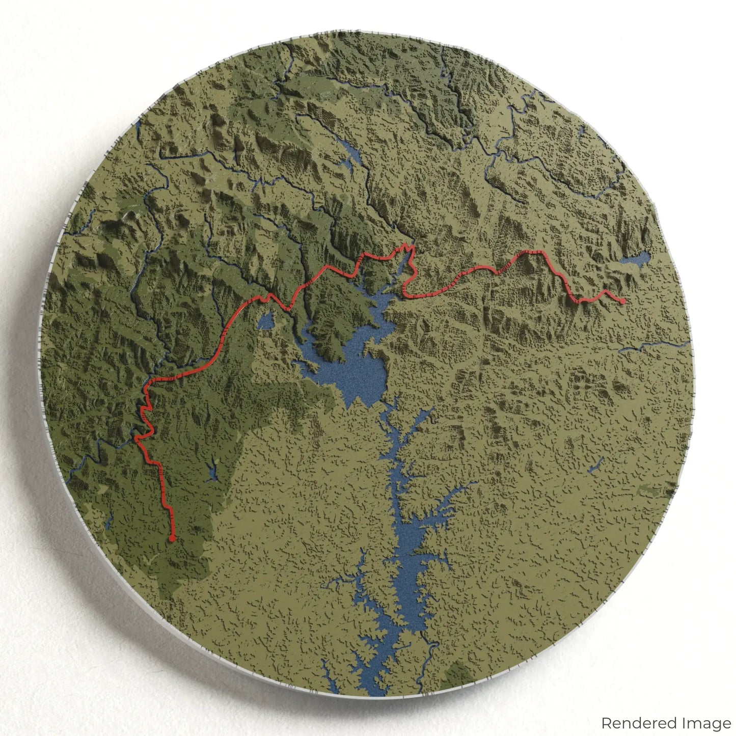
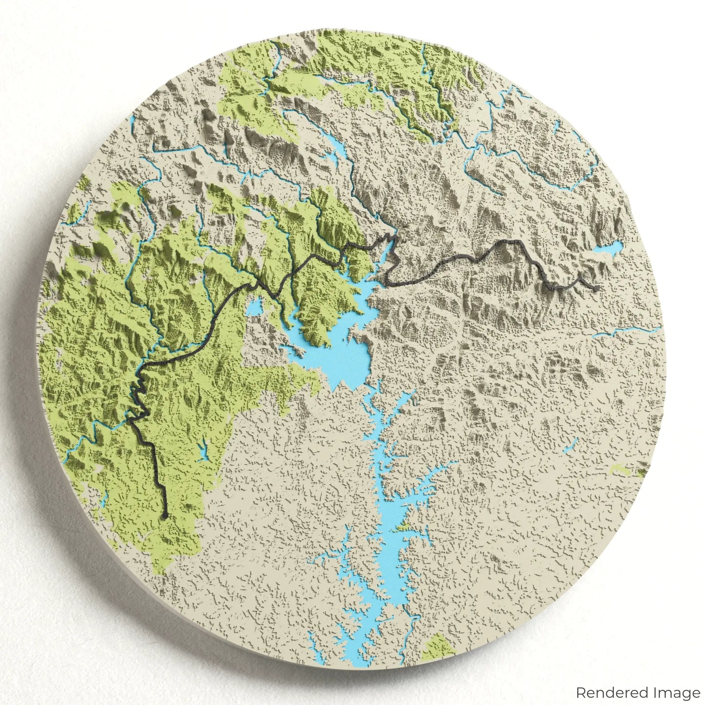
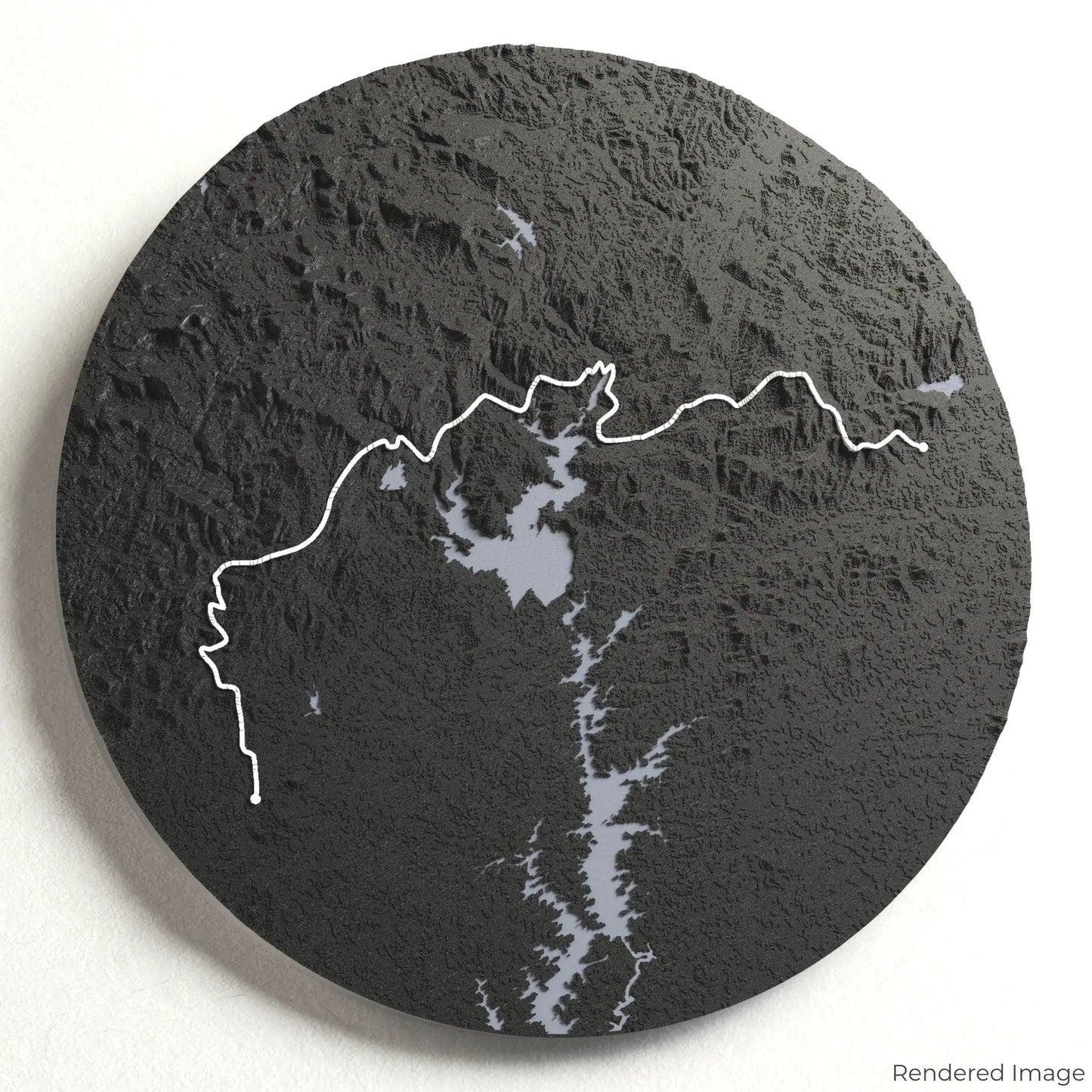
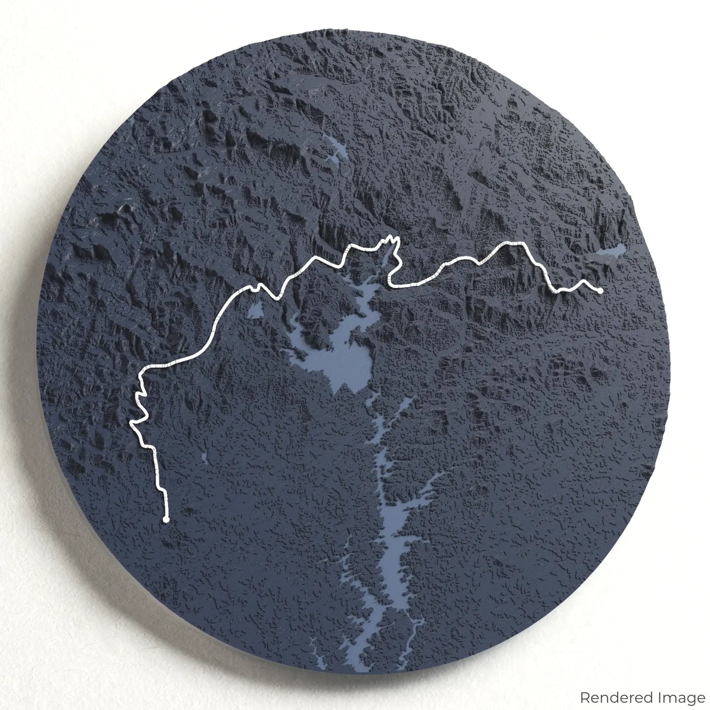
Immerse yourself in the natural beauty of the Southern Appalachians with our 3D topographic map of the Foothills Trail. This scenic and diverse trek winds through lush forests, cascading waterfalls, and rugged mountain terrain.
A Journey Through the Blue Ridge Mountains
The Foothills Trail stretches approximately 122 kilometres (76 miles), connecting South Carolina and North Carolina. Passing through remote wilderness areas, the trail takes hikers alongside the Chattooga River, up to Sassafras Mountain—South Carolina’s highest peak—and past the breathtaking Whitewater Falls. Whether you've hiked this unforgettable trail or dream of the adventure, our handcrafted map captures the essence of the Foothills Trail.
Choose Your Perfect Trail Memento
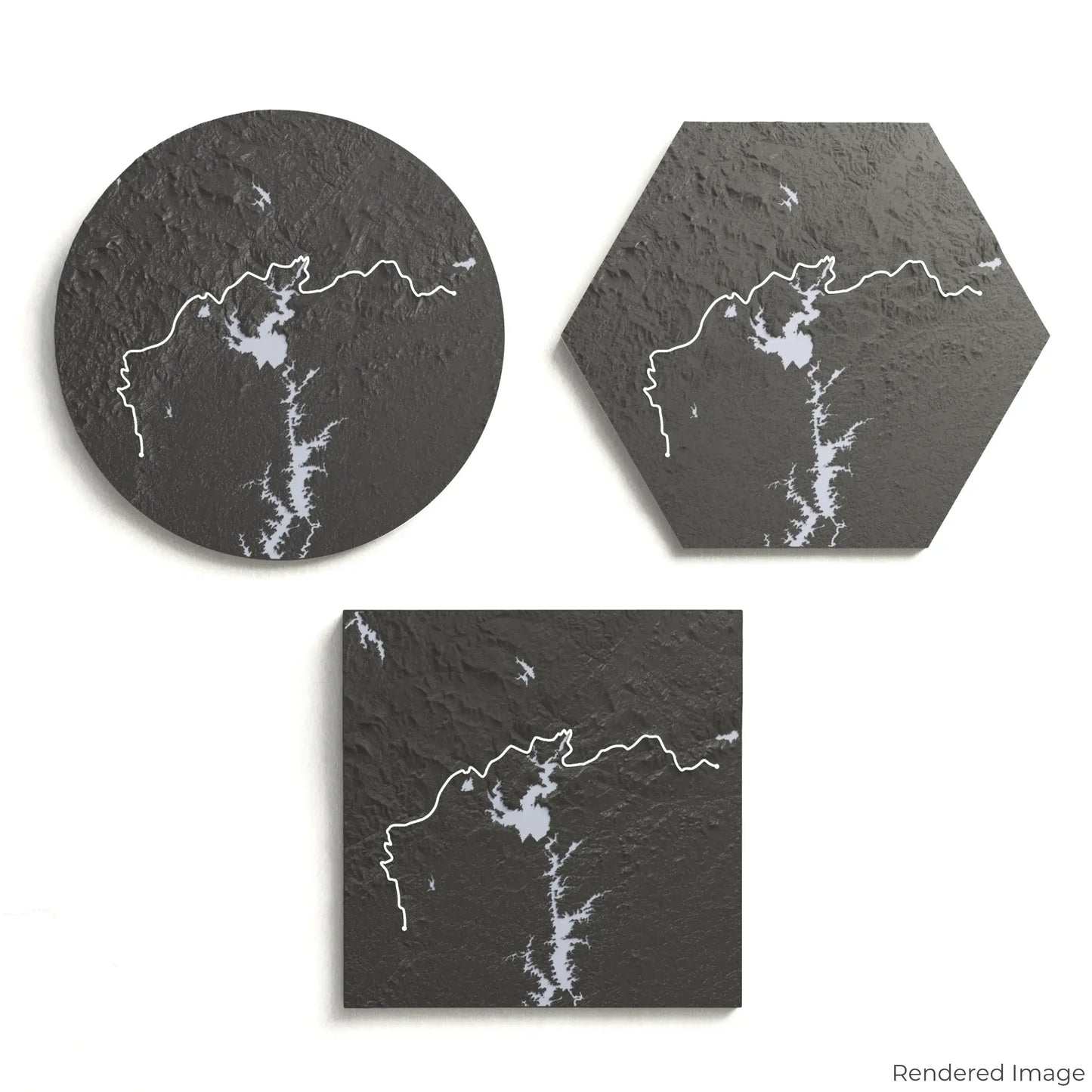
Choose from four striking colour themes and three unique shapes to create a stunning centrepiece for your wall or table. This handcrafted map is the perfect way to commemorate your journey along the Foothills Trail or as a thoughtful gift for fellow adventurers.
Select Your Ideal Size and Shape
Circle: 222 x 222 x 24mm (8.7 x 8.7 x 0.95 inches)
Hexagon: 242 x 212 x 24mm (9.5 x 8.3 x 0.95 inches)
Square: 198 x 198 x 24mm (7.8 x 7.8 x 0.95 inches)
Crafted with Precision and Care
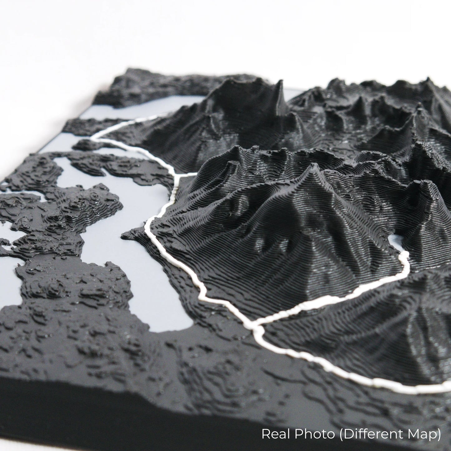
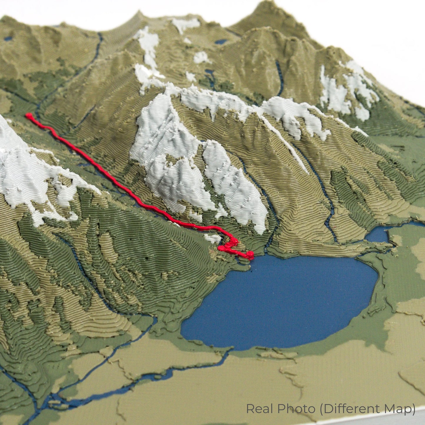
Our maps are meticulously crafted using advanced colour 3D printing technology and PLA, a durable and plant-based plastic.
Please Note: Some product photos are digitally rendered for illustrative purposes and are labelled as "Rendered Image" for clarity. The actual product may show slight variations and natural imperfections due to the 3D printing process and material properties.
Bring the Appalachian Wilderness Home
Celebrate your love for the great outdoors with this one-of-a-kind keepsake. Whether you're reminiscing about past hikes or planning your next trek, this 3D map is a tribute to the stunning beauty of the Foothills Trail.
Order now and let us create a memento as unforgettable as your journey!
Data Sources
Our maps are created using high-precision topographic data from the following sources:
OpenStreetMap: openstreetmap.org/copyright
Copernicus WorldDEM-30: Produced using Copernicus WorldDEM-30 © DLR e.V. 2010-2014 and © Airbus Defence and Space GmbH 2014-2018, provided under COPERNICUS by the European Union and ESA; all rights reserved.