Experience the Historic Dipsea Trail
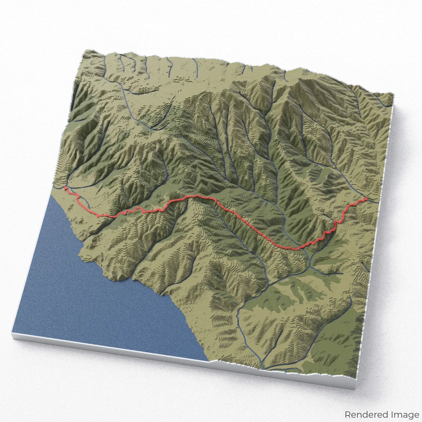
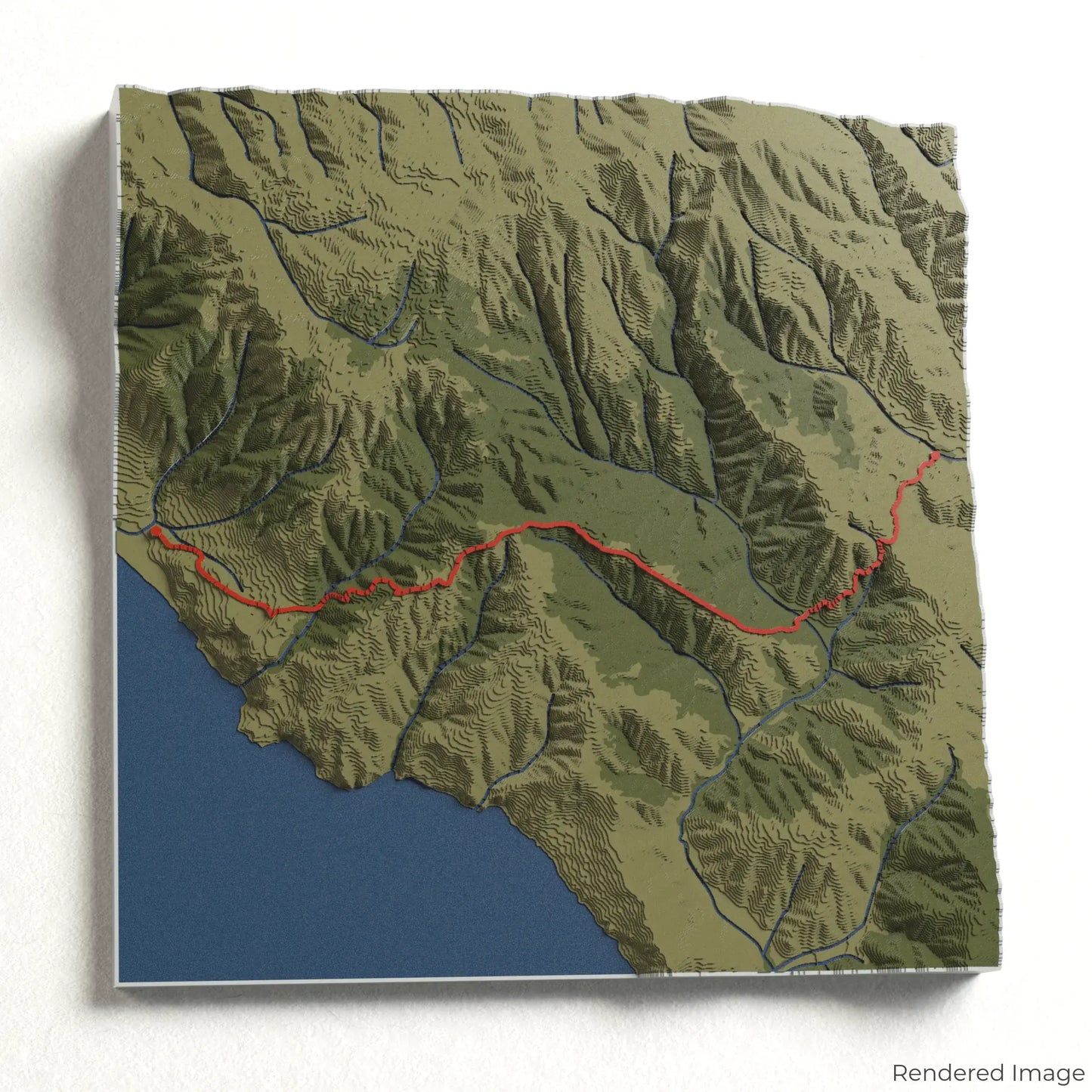
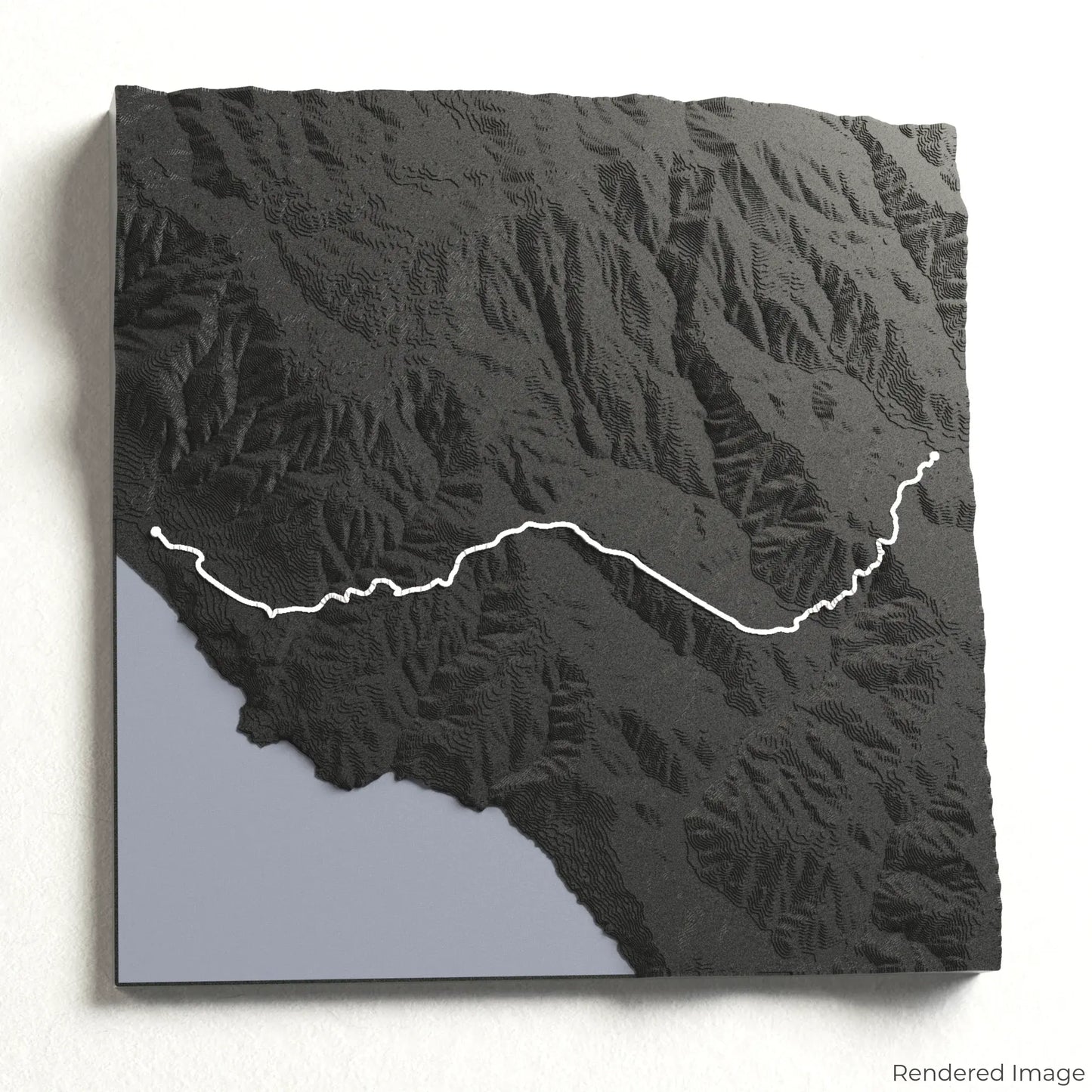
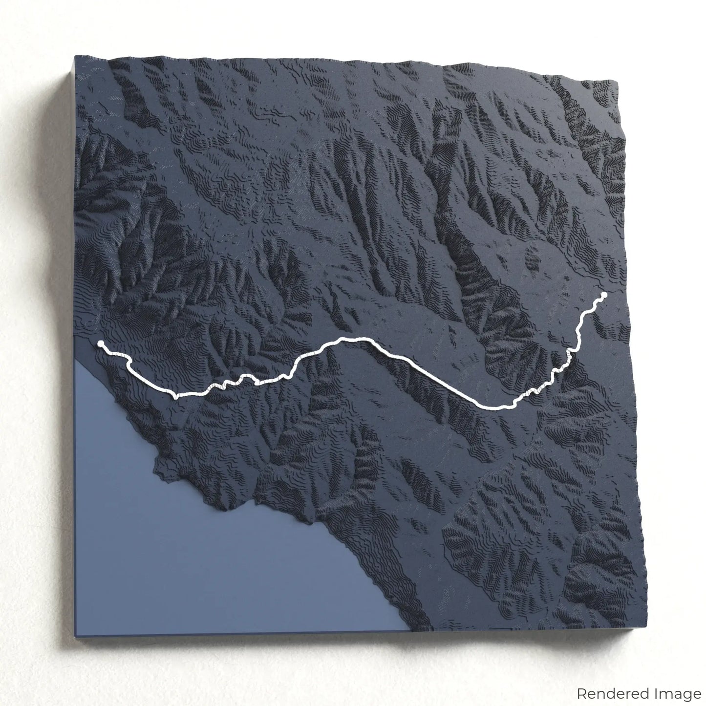
Step into the heart of California’s coastal beauty with our 3D topographic map of the Dipsea Trail. This legendary route takes hikers through redwood forests, rolling hills, and breathtaking ocean views along the Pacific coastline.
A Trail of History and Scenic Beauty
The Dipsea Trail stretches approximately 11 kilometres (7 miles), winding from Mill Valley to Stinson Beach. Known as the course for the oldest trail race in America, the path challenges adventurers with steep climbs, wooden staircases, and exhilarating descents. Whether you’ve raced this historic route or hiked it at your own pace, our handcrafted map captures the essence of the Dipsea Trail.
A Keepsake for Every Trail Lover
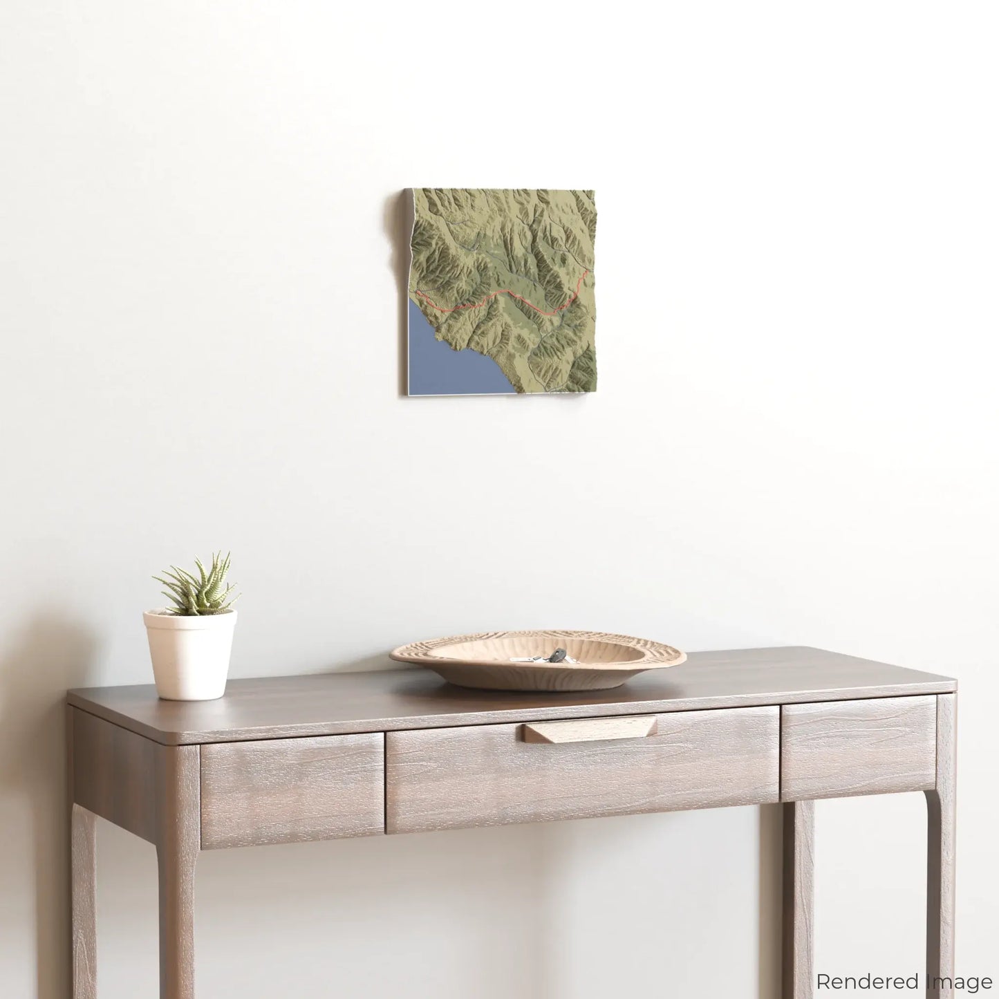
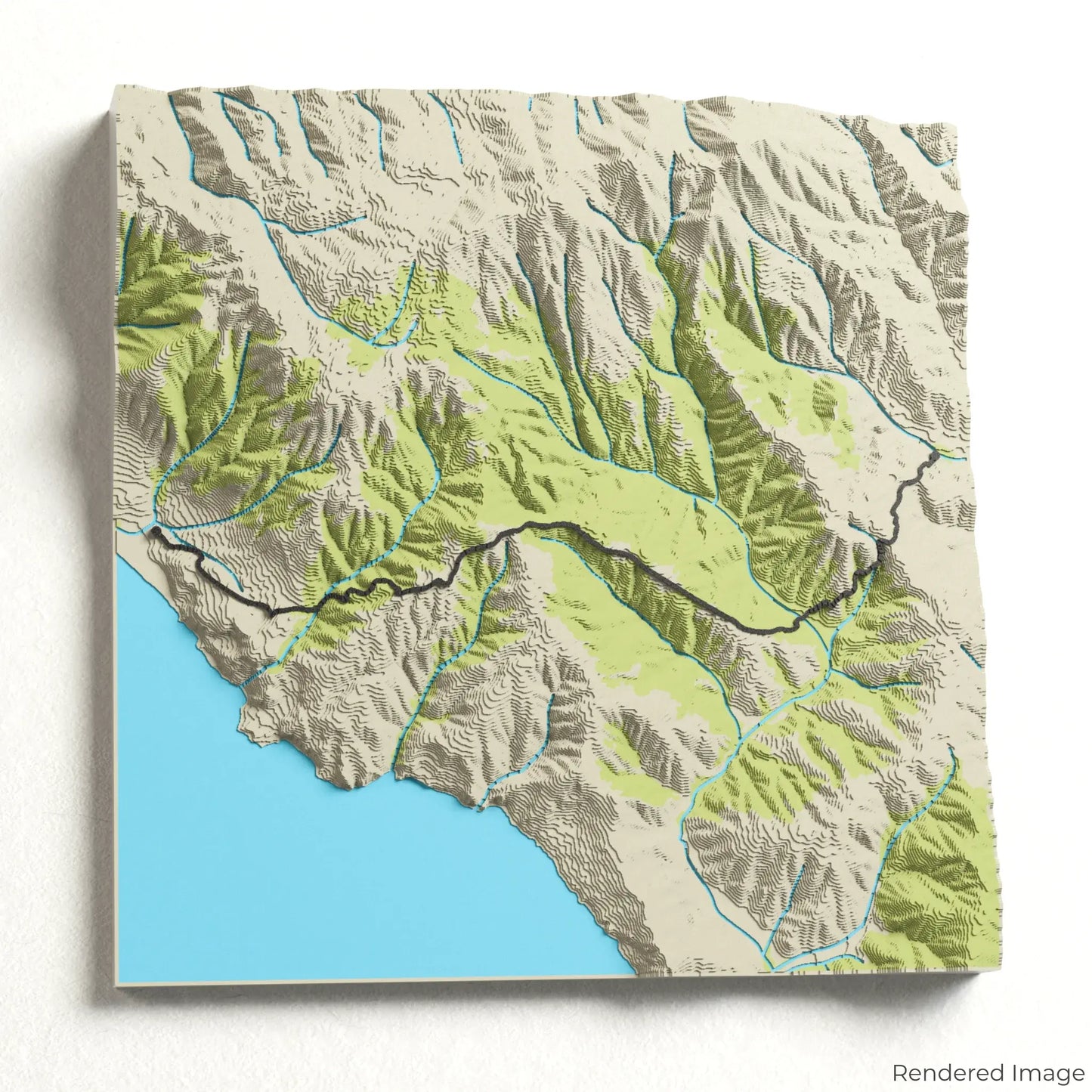
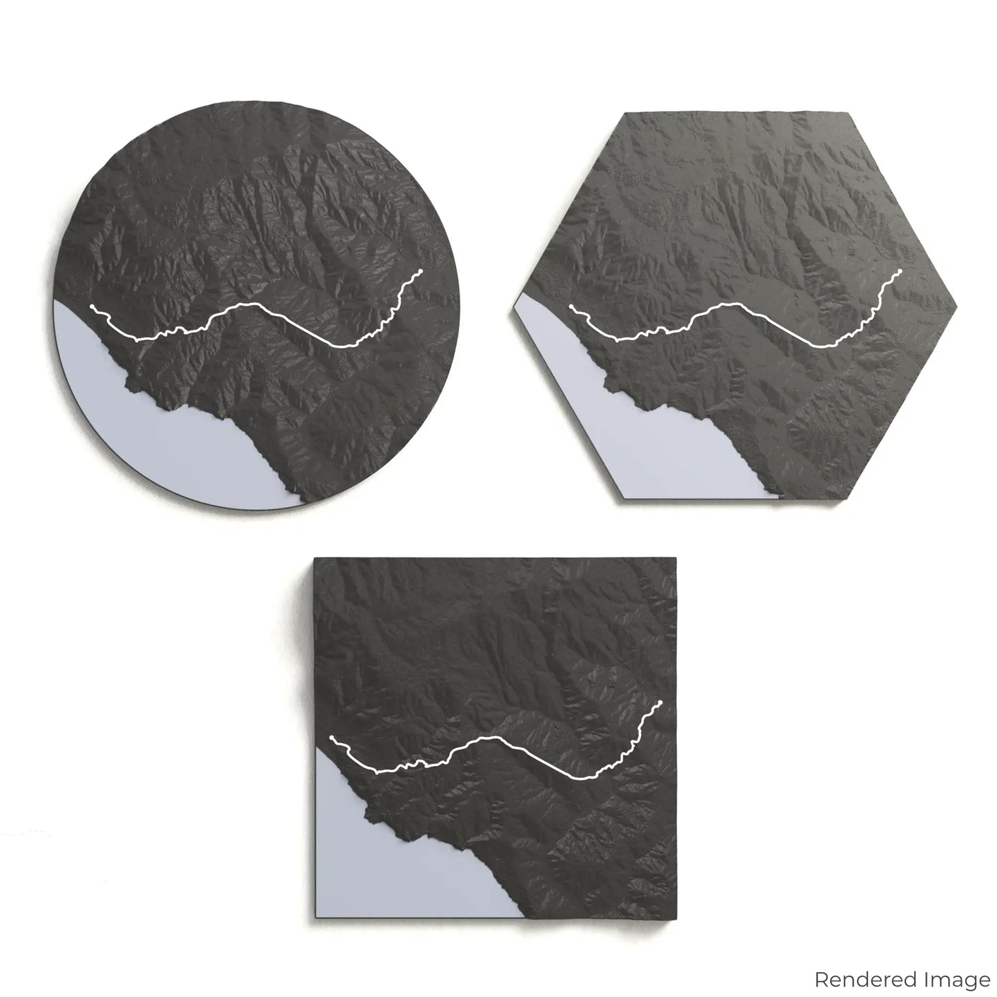
Choose from four striking colour themes and three unique shapes to create a stunning centrepiece for your wall or table. This handcrafted map is the perfect way to commemorate your Dipsea Trail journey or as a meaningful gift for fellow outdoor enthusiasts.
Select the Ideal Size and Shape
Circle: 222 x 222 x 42 mm (8.7 x 8.7 x 1.6 inches)
Hexagon: 242 x 212 x 42 mm (9.6 x 8.3 x 1.6 inches)
Square: 198 x 198 x 42 mm (7.8 x 7.8 x 1.6 inches)
Crafted for Detail and Durability
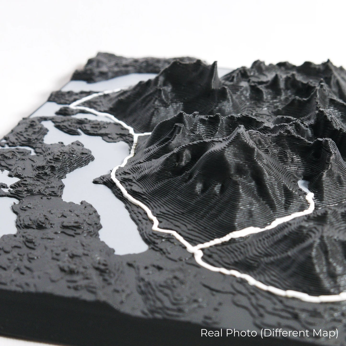
Our maps are meticulously designed using advanced colour 3D printing technology and PLA, a durable and plant-based plastic.
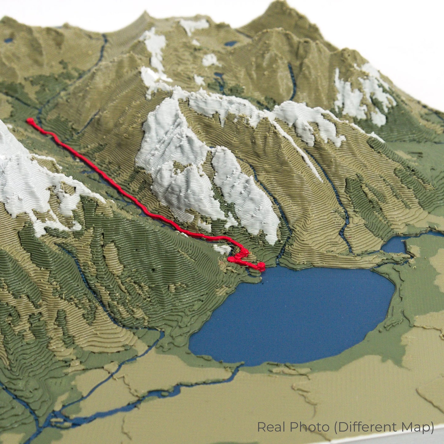
Please Note: Some product photos are digitally rendered for illustrative purposes and are labelled as "Rendered Image" for clarity. The actual product may show slight variations and natural imperfections due to the 3D printing process and material properties.
Bring the Spirit of Marin County Home
Celebrate your love for California’s stunning trails with this one-of-a-kind keepsake. Whether you're reminiscing about past treks or planning your next outdoor adventure, this 3D map is a tribute to the beauty of the Dipsea Trail.
Order now and let us create a memento as unforgettable as your journey!
Data Sources
Our maps are created using high-precision topographic data from the following sources:
OpenStreetMap: openstreetmap.org/copyright
Copernicus WorldDEM-30: Produced using Copernicus WorldDEM-30 © DLR e.V. 2010-2014 and © Airbus Defence and Space GmbH 2014-2018, provided under COPERNICUS by the European Union and ESA; all rights reserved.