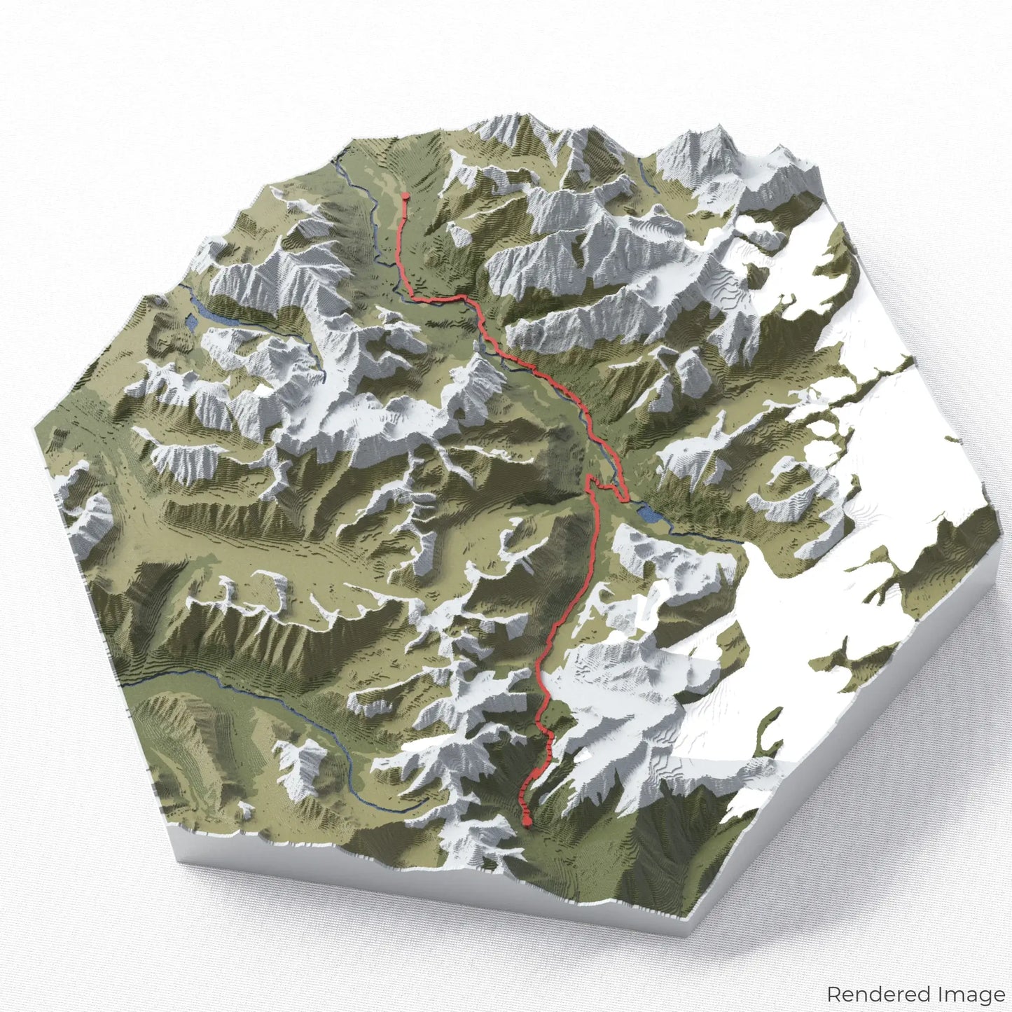
Celebrate the Crow Pass Trail
Discover the wild beauty of Alaska with our 3D topographic map of the Crow Pass Trail. This spectacular hike offers stunning glacier views, alpine meadows, and rich Gold Rush history, making it a must-see for adventurous spirits.
A Journey Through Alaska’s Backcountry
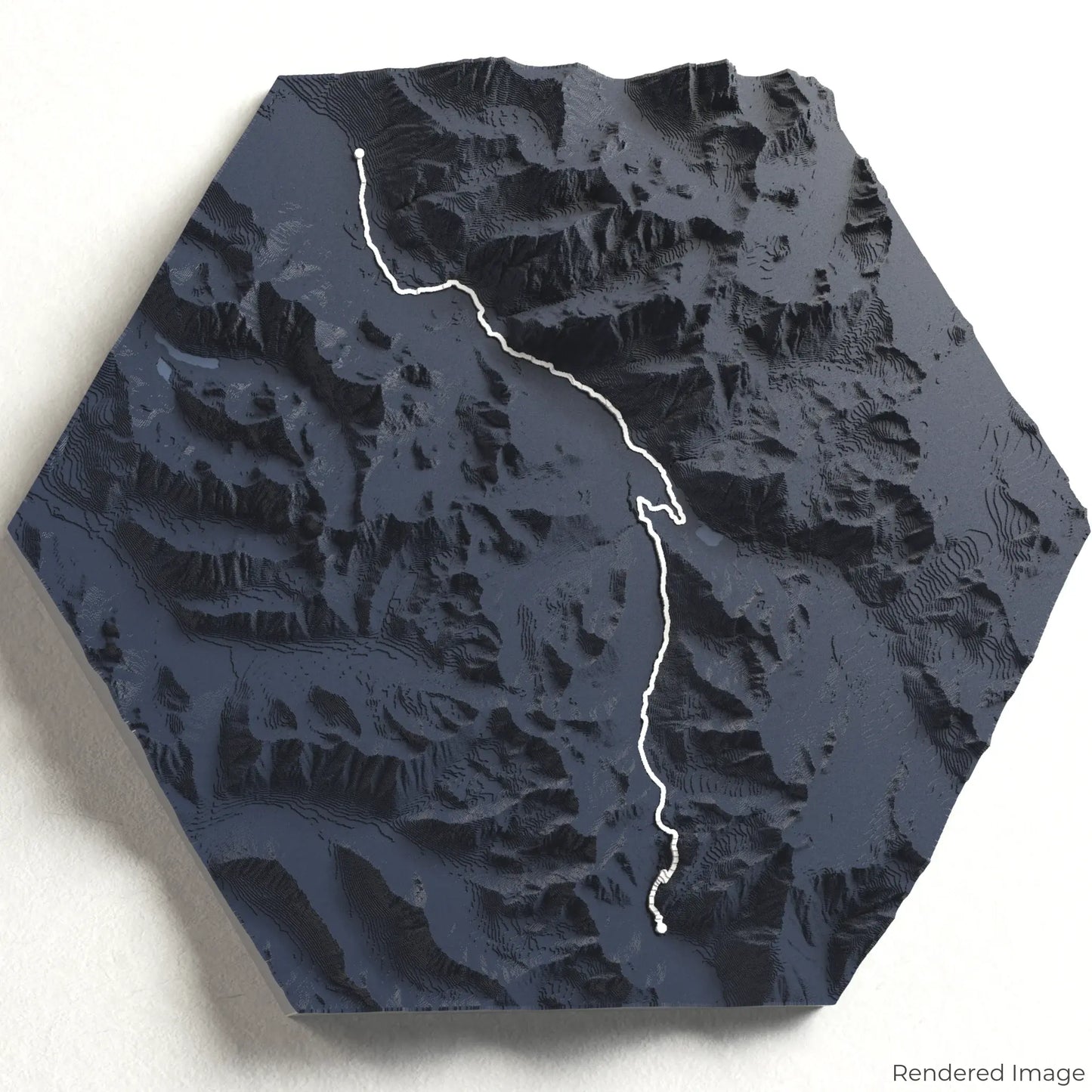
The Crow Pass Trail spans approximately 39 kilometres (24 miles), guiding hikers from Girdwood to Eagle River through the breathtaking Chugach Mountains. Along the way, trekkers encounter Raven Glacier, scenic waterfalls, and abundant wildlife. Whether you've experienced this remote wilderness or dream of exploring it, our handcrafted map captures the essence of the Crow Pass Trail.
Customizable Keepsakes
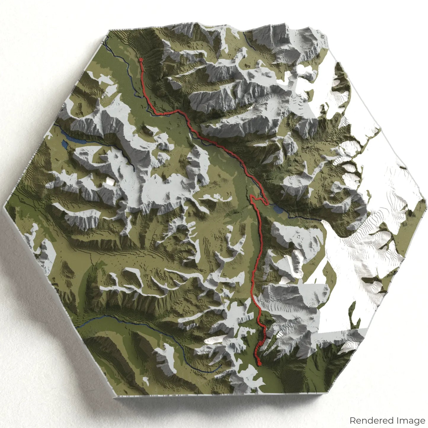
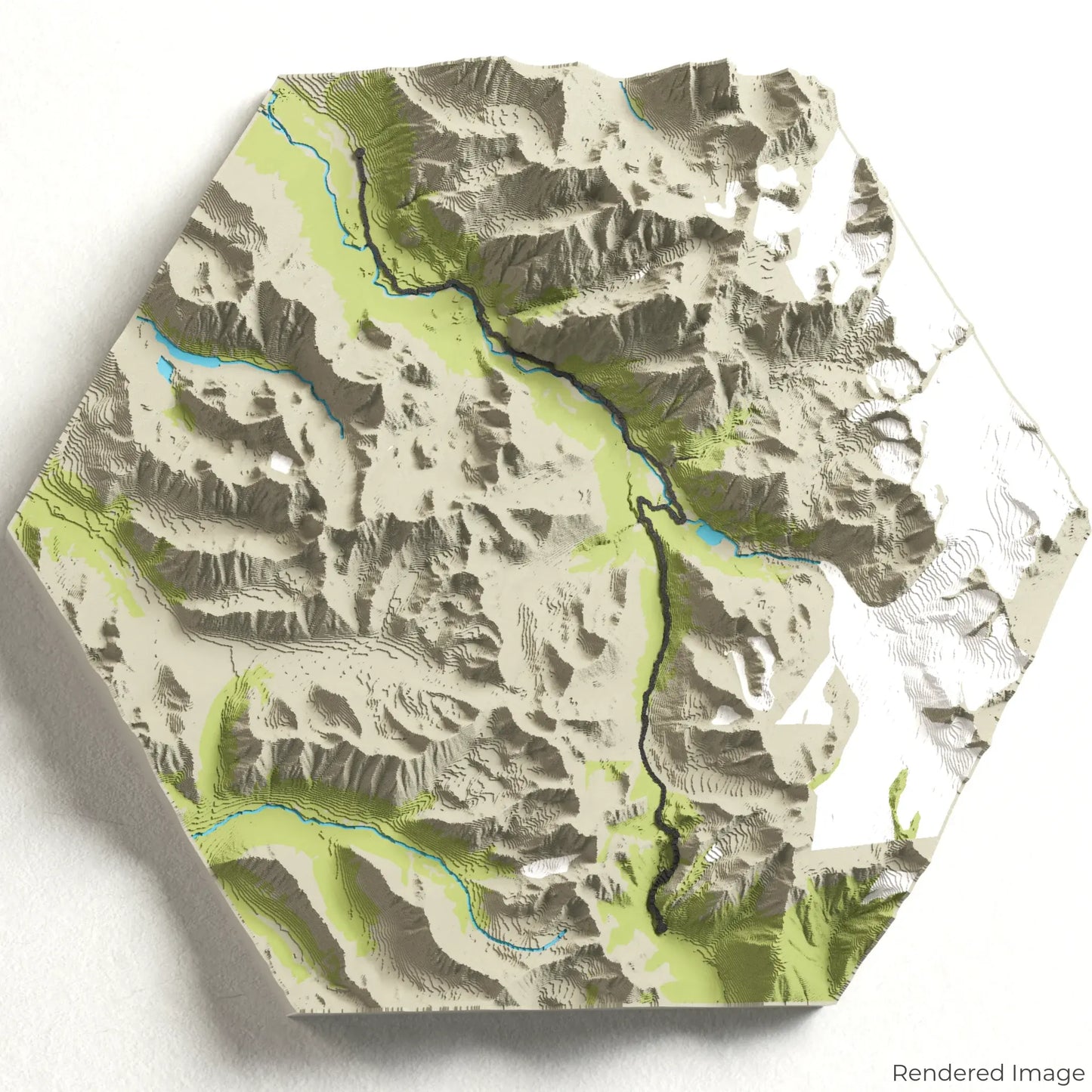
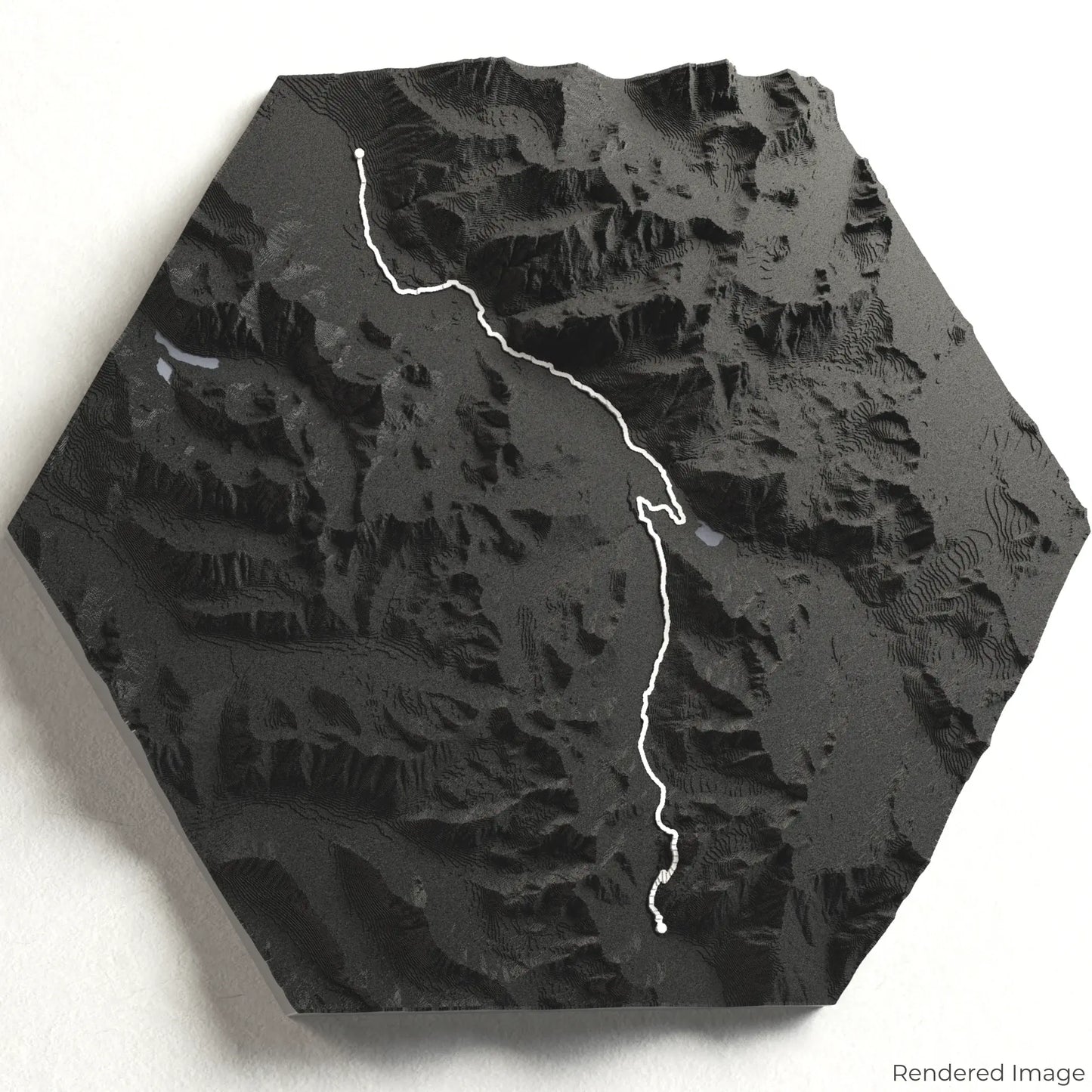
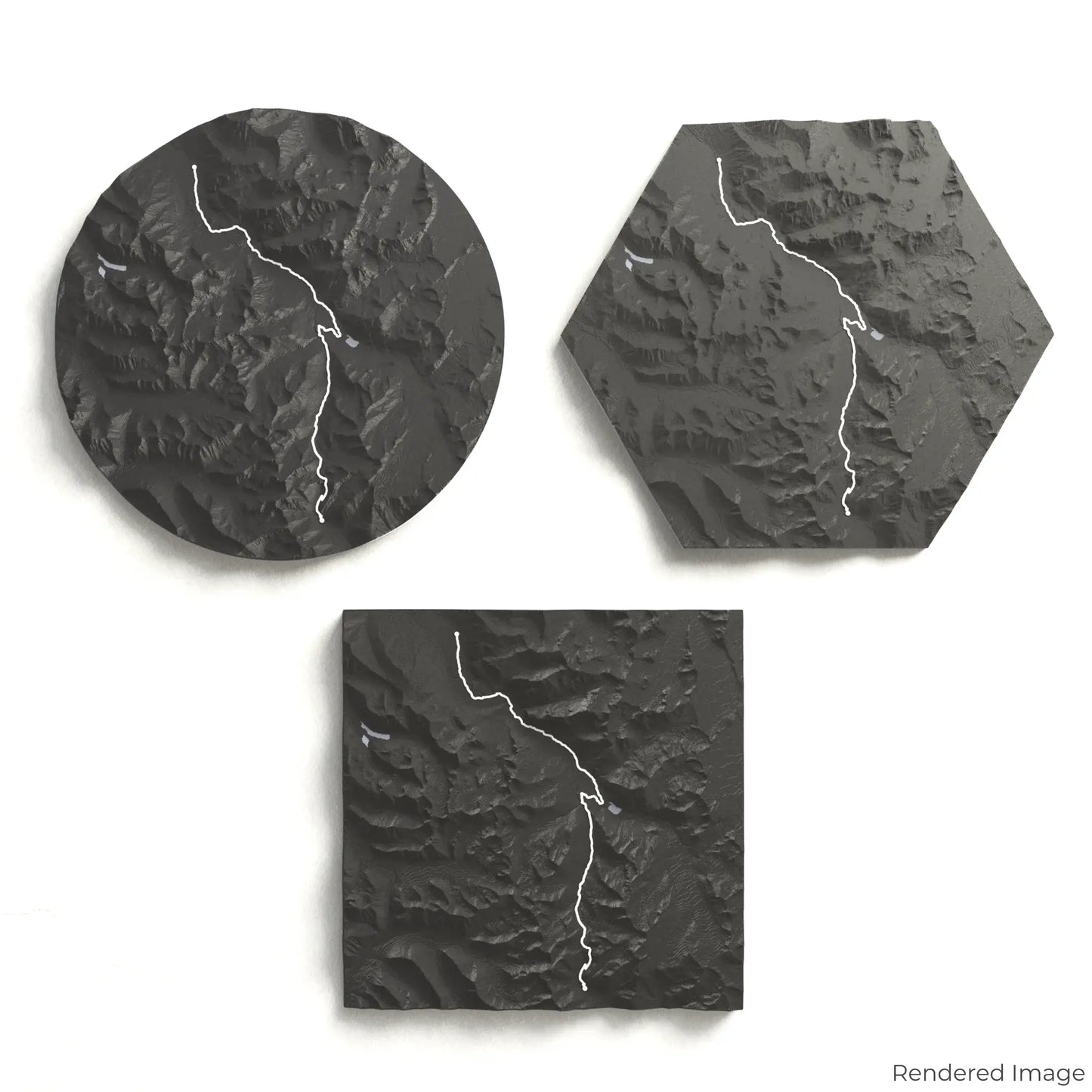
Choose from four striking colour themes and three unique shapes to create an eye-catching centrepiece for your wall or table. This handcrafted map is the perfect way to commemorate your hike along the Crow Pass Trail or as a thoughtful gift for fellow explorers.
Available Sizes and Shapes
Circle: 222 x 222 x 33 mm (8.7 x 8.7 x 1.3 inches)
Hexagon: 242 x 212 x 33 mm (9.5 x 8.3 x 1.3 inches)
Square: 198 x 198 x 33 mm (7.8 x 7.8 x 1.3 inches)
Premium Craftsmanship
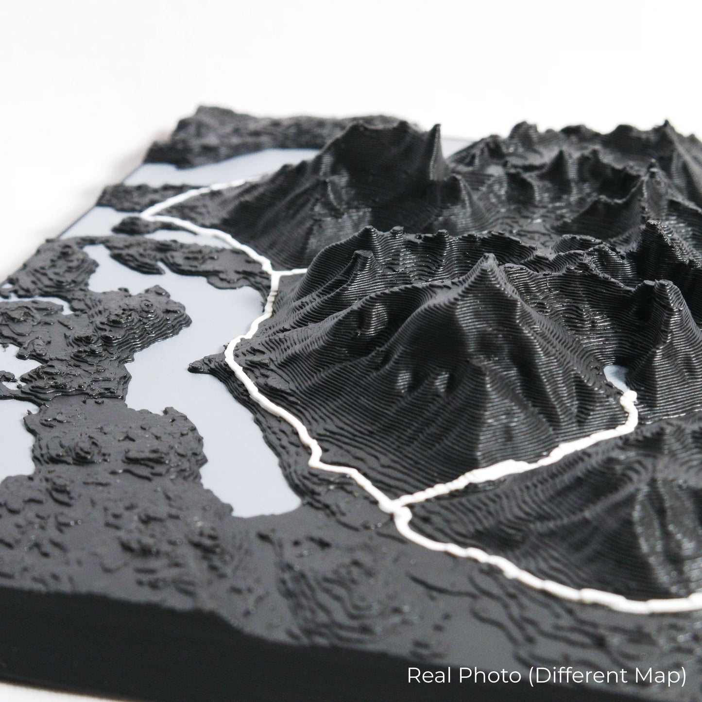
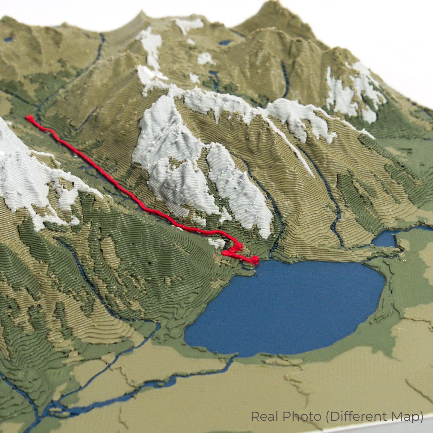
Our maps are meticulously crafted using advanced colour 3D printing technology and PLA, a durable and plant-based plastic.
Please Note: Some product photos are digitally rendered for illustrative purposes and are labelled as "Rendered Image" for clarity. The actual product may show slight variations and natural imperfections due to the 3D printing process and material properties.
Bring Alaska’s Wilderness Home
Celebrate your love for Alaska’s rugged landscapes with this one-of-a-kind keepsake. Whether you're reliving cherished memories or planning your next adventure, this 3D map is a testament to the natural beauty of the Crow Pass Trail.
Order now and let us create a memento as unforgettable as your journey!
Data Sources
Our maps are created using high-precision topographic data from the following sources:
OpenStreetMap: openstreetmap.org/copyright
Copernicus WorldDEM-30: Produced using Copernicus WorldDEM-30 © DLR e.V. 2010-2014 and © Airbus Defence and Space GmbH 2014-2018, provided under COPERNICUS by the European Union and ESA; all rights reserved.