Experience the Historic Chilkoot Trail
Step back in time and explore the legendary Chilkoot Trail with our 3D topographic map. Once the gateway to the Klondike Gold Rush, this historic route offers breathtaking alpine scenery, rugged landscapes, and a glimpse into the past.
A Journey Through Gold Rush History
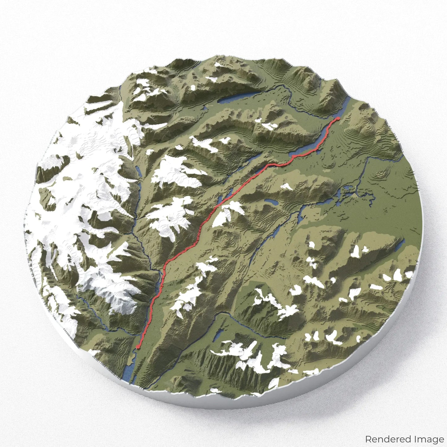
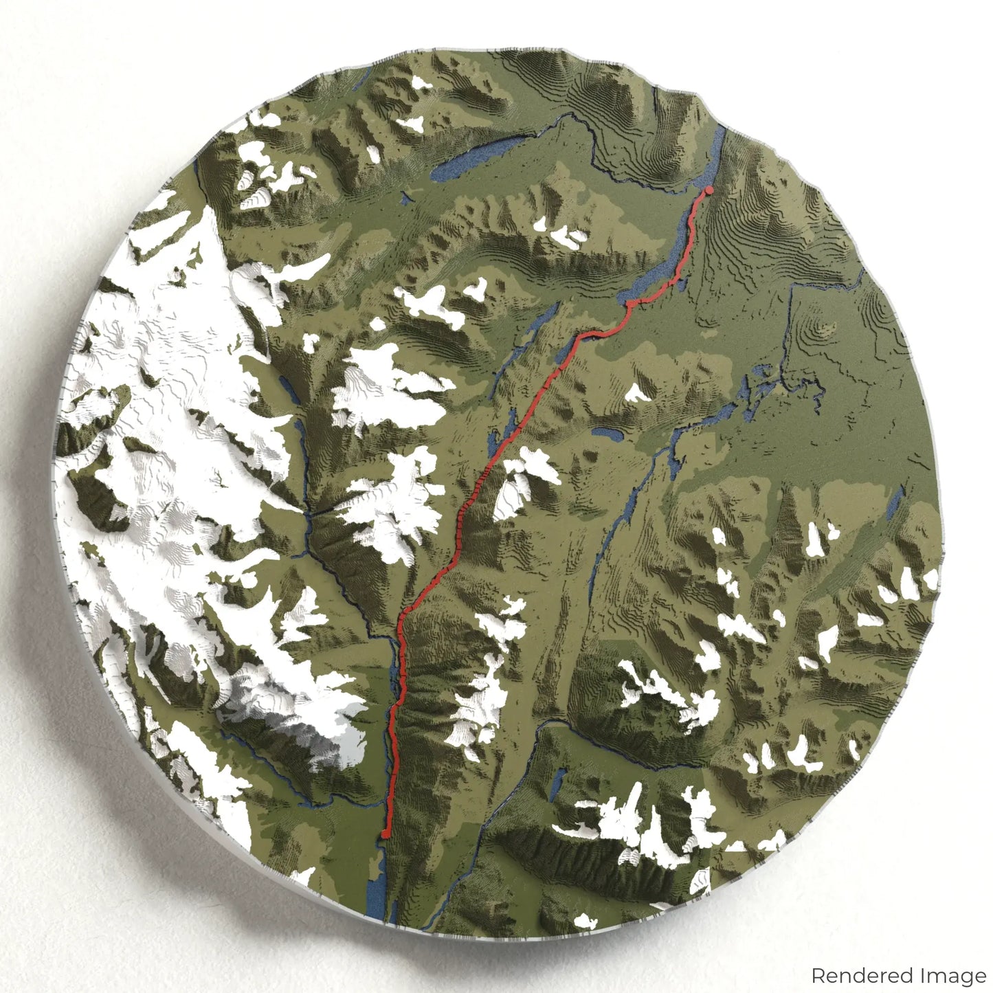
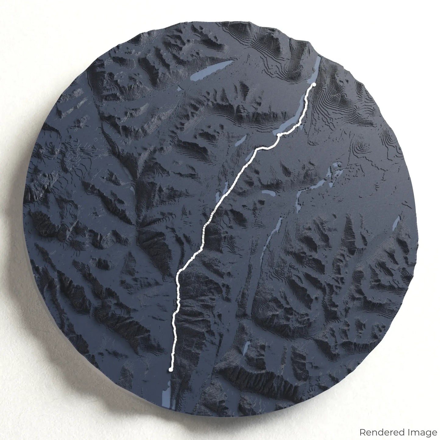
The Chilkoot Trail stretches approximately 53 kilometres (33 miles), beginning in Dyea, Alaska, and crossing into British Columbia, Canada. Hikers follow the path of prospectors through lush forests, icy rivers, and over the iconic Golden Stairs of Chilkoot Pass. Whether you've completed this historic trek or dream of conquering it, our handcrafted map captures the essence of the Chilkoot Trail.
Personalise Your Trail Keepsake
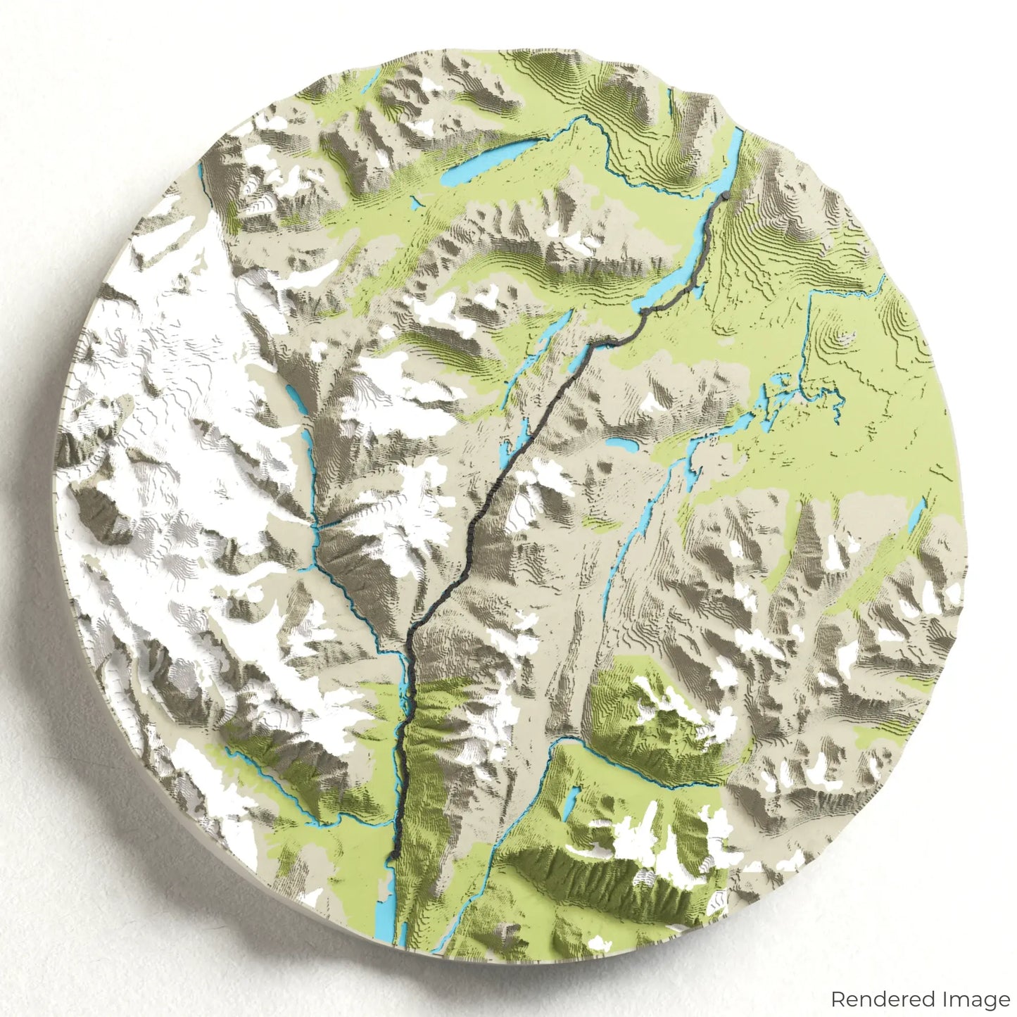
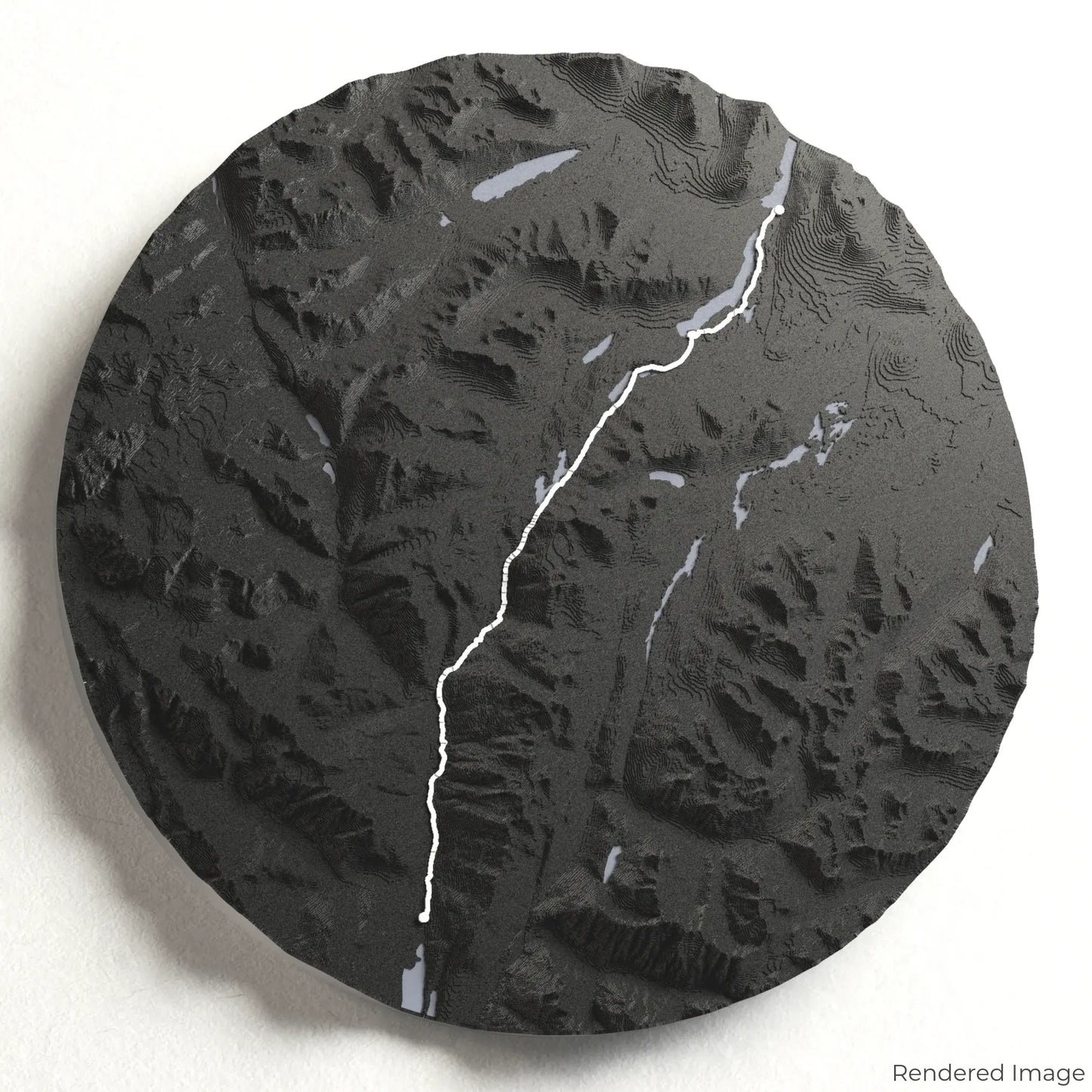
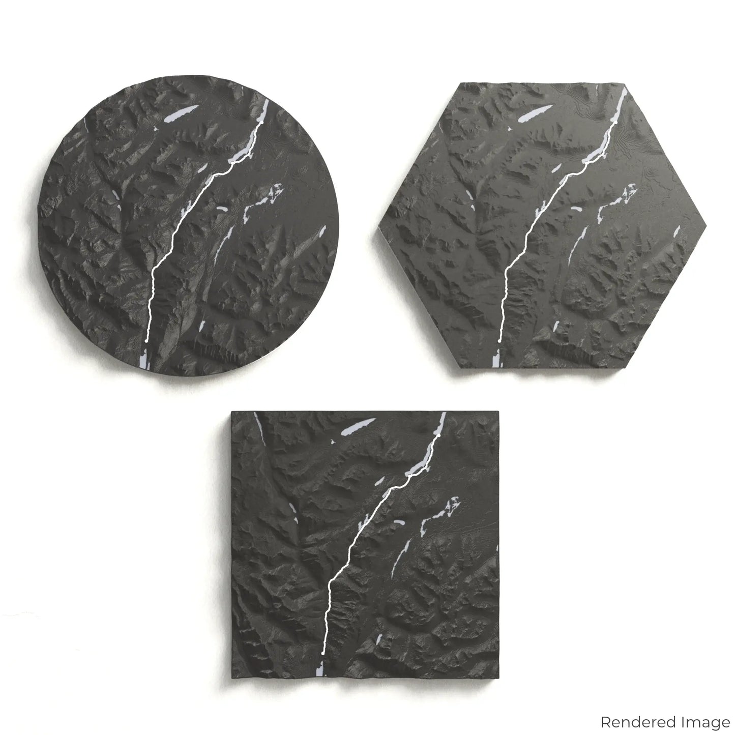
Choose from four striking colour themes and three unique shapes to create an eye-catching centrepiece for your wall or table. This handcrafted map is the perfect way to commemorate your journey along the Chilkoot Trail or as a thoughtful gift for fellow explorers.
Find the Perfect Fit for Your Space
Circle: 222 x 222 x 24 mm (8.7 x 8.7 x 0.9 inches)
Hexagon: 242 x 212 x 24 mm (9.6 x 8.3 x 0.9 inches)
Square: 198 x 198 x 24 mm (7.8 x 7.8 x 0.9 inches)
Crafted with Precision and Care
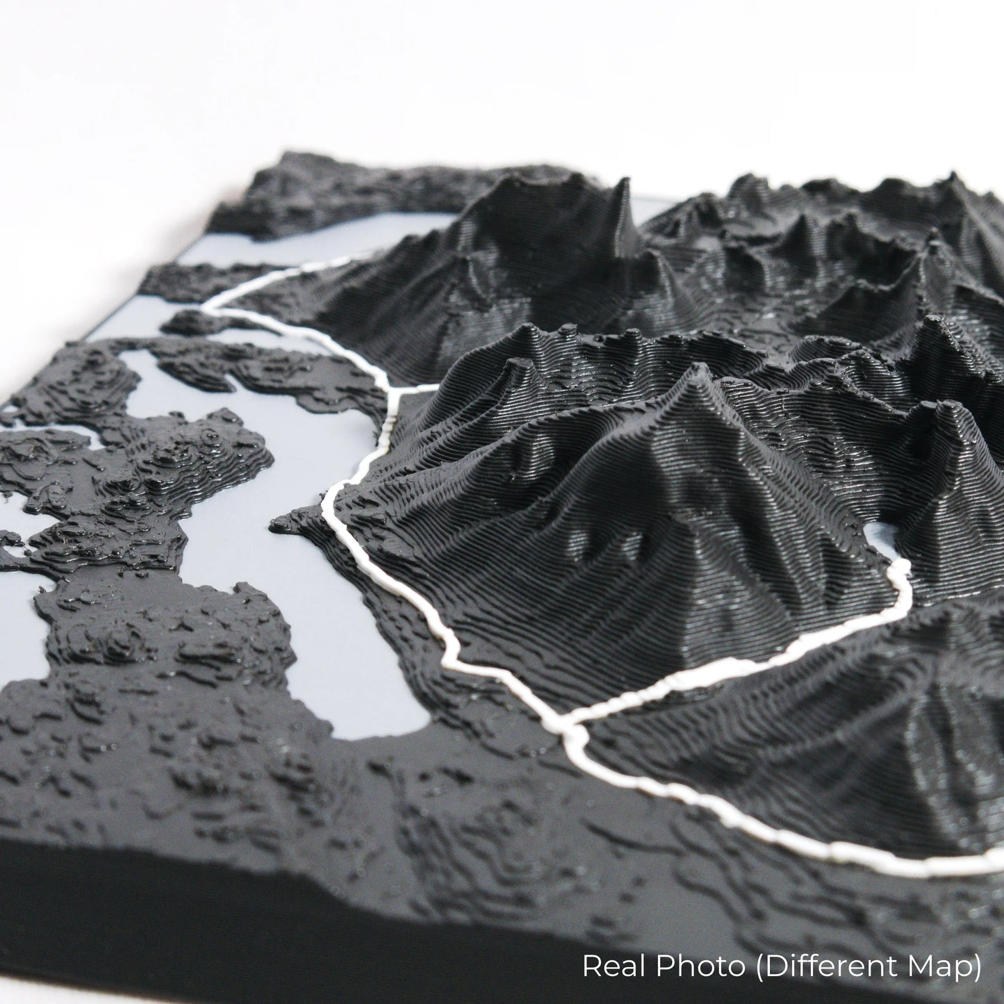
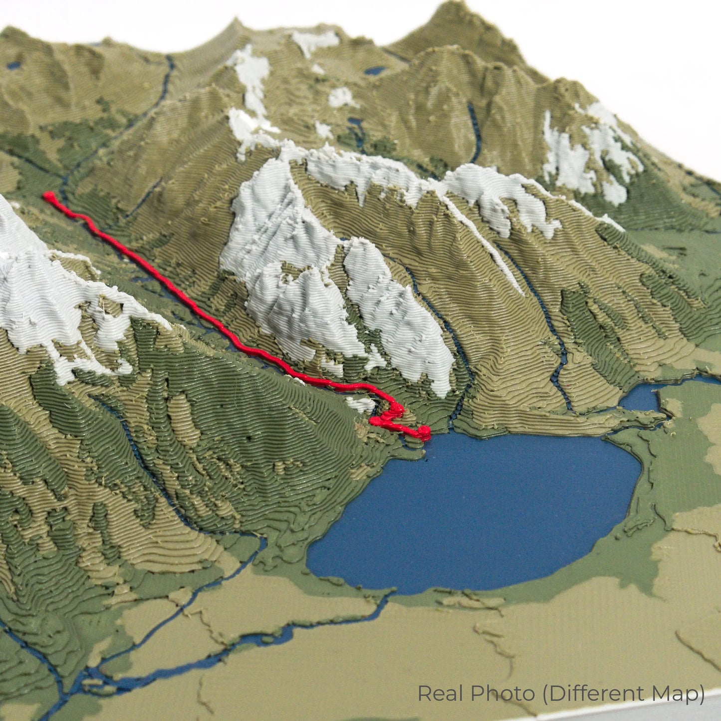
Our maps are meticulously crafted using advanced colour 3D printing technology and PLA, a durable and plant-based plastic.
Please Note: Some product photos are digitally rendered for illustrative purposes and are labelled as "Rendered Image" for clarity. The actual product may show slight variations and natural imperfections due to the 3D printing process and material properties.
Bring the Spirit of the Chilkoot Trail Home
Celebrate your love for adventure and history with this one-of-a-kind keepsake. Whether you're reliving cherished memories or planning your next hike, this 3D map is a tribute to the incredible journey of the Chilkoot Trail.
Order now and let us create a memento as unforgettable as your adventure!
Data Sources
Our maps are created using high-precision topographic data from the following sources:
OpenStreetMap: openstreetmap.org/copyright
Copernicus WorldDEM-30: Produced using Copernicus WorldDEM-30 © DLR e.V. 2010-2014 and © Airbus Defence and Space GmbH 2014-2018, provided under COPERNICUS by the European Union and ESA; all rights reserved.