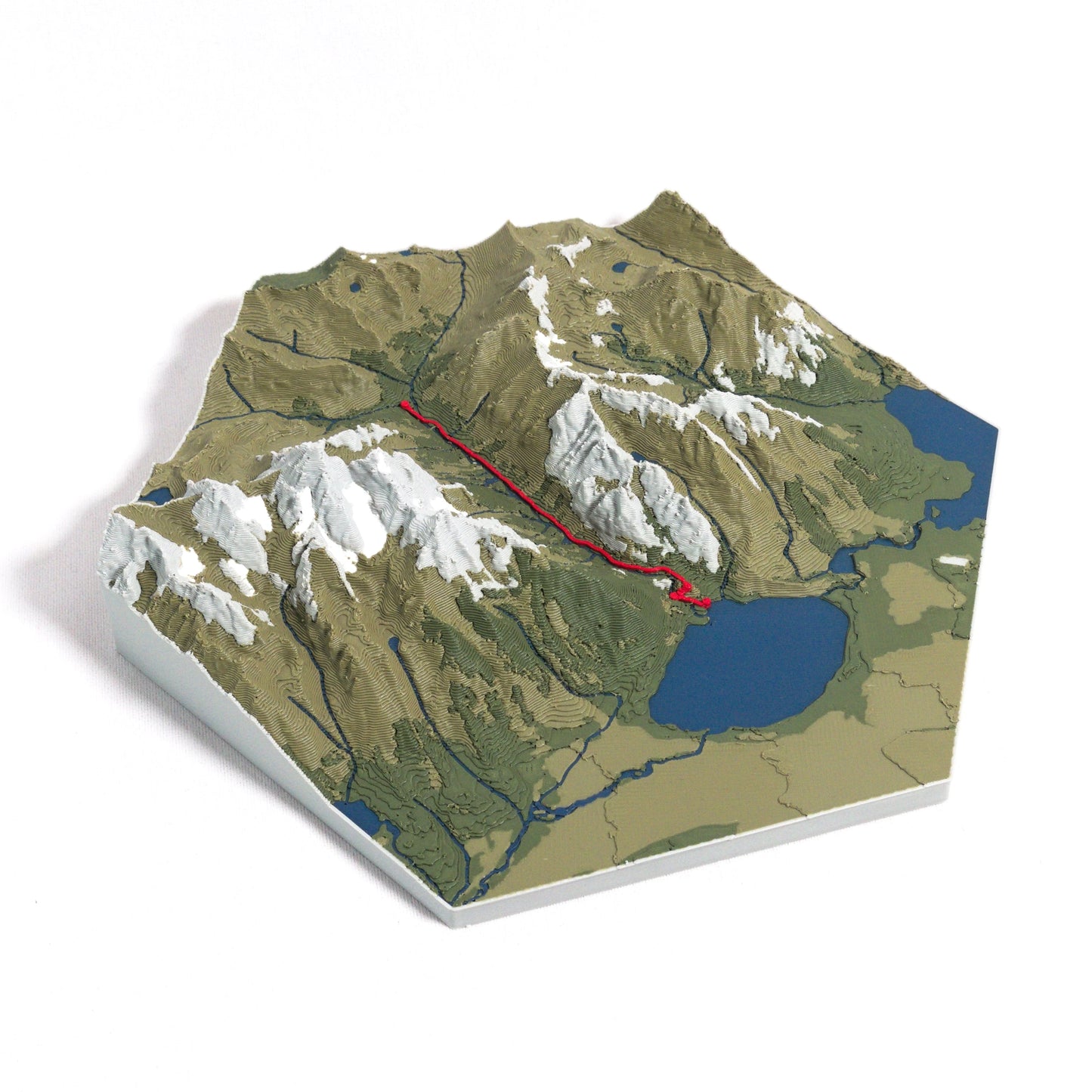
Commemorate the Cascade Canyon Trail
Discover the stunning beauty of Grand Teton National Park with our 3D topographic map of the Cascade Canyon Trail. This breathtaking hike offers towering peaks, pristine lakes, and vibrant wildlife, making it a must-see for nature enthusiasts.
A Journey Through the Tetons
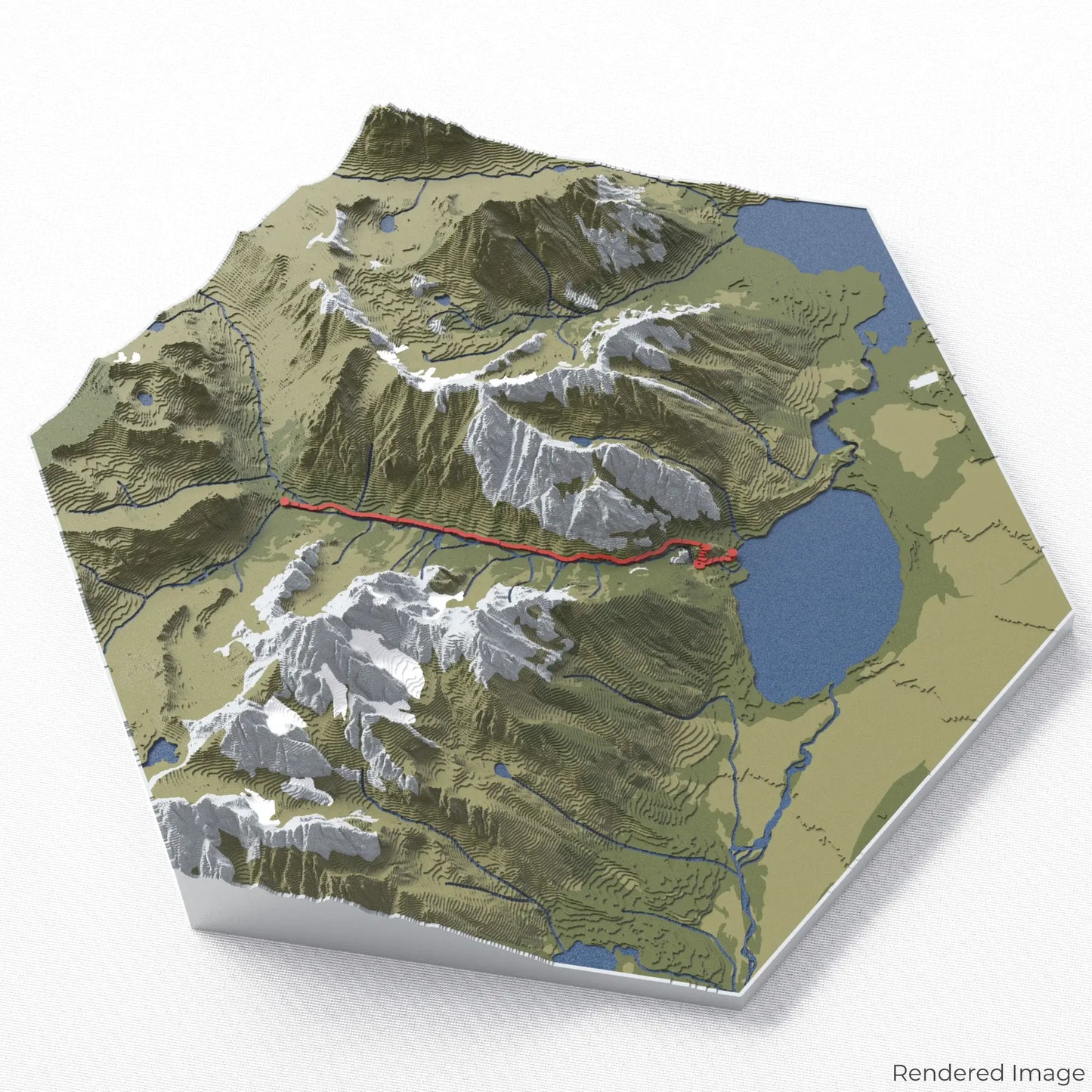
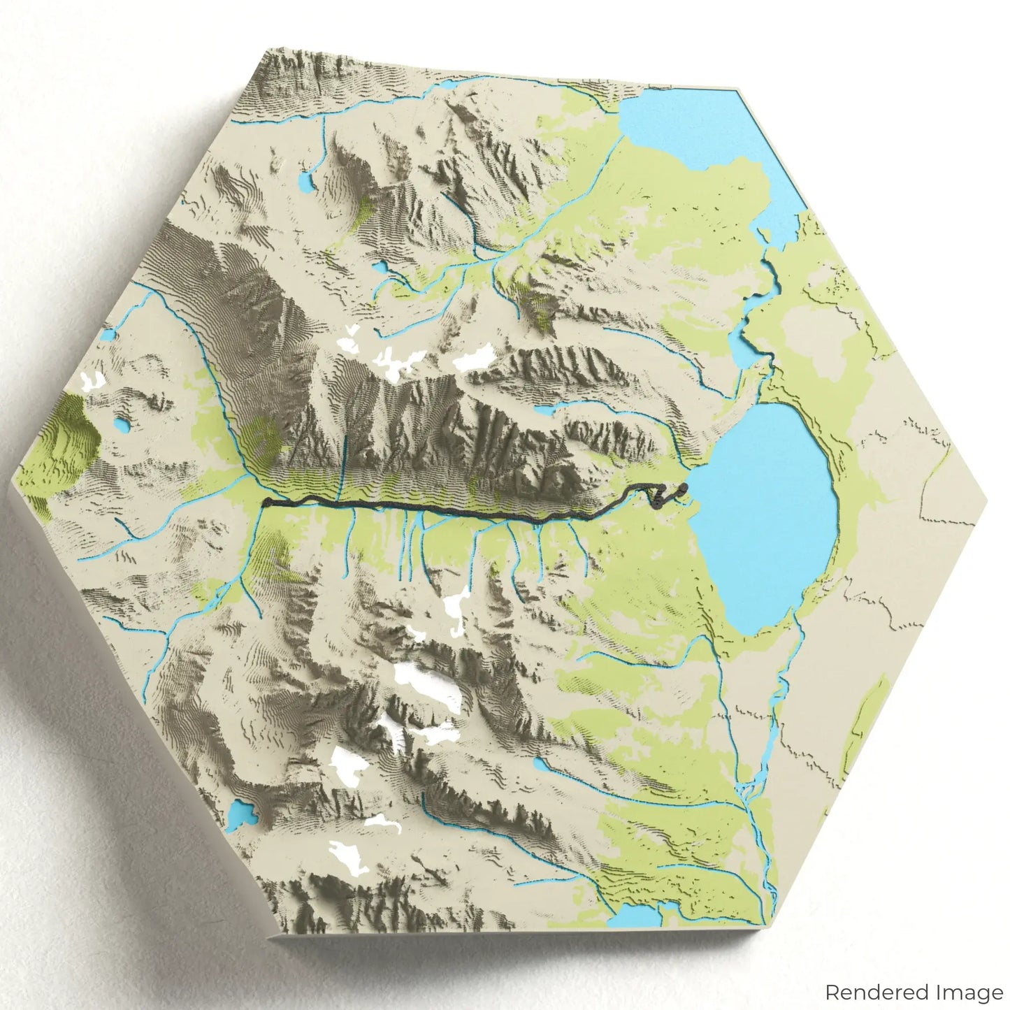
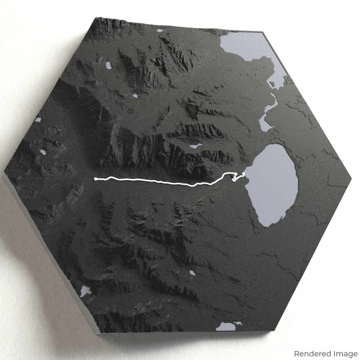
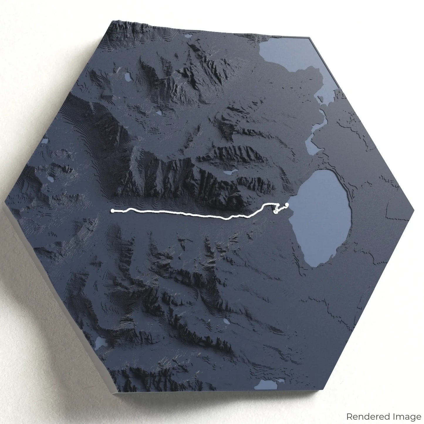
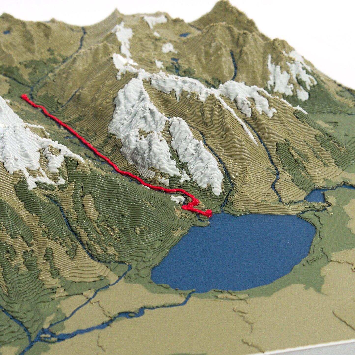
The Cascade Canyon Trail stretches approximately 14 kilometres (8.7 miles), guiding hikers through lush forests, alongside cascading streams, and beneath the jagged peaks of the Teton Range. Whether you've wandered through this alpine wonderland or dream of doing so, our handcrafted map captures the essence of the Cascade Canyon Trail.
Customizable Keepsakes
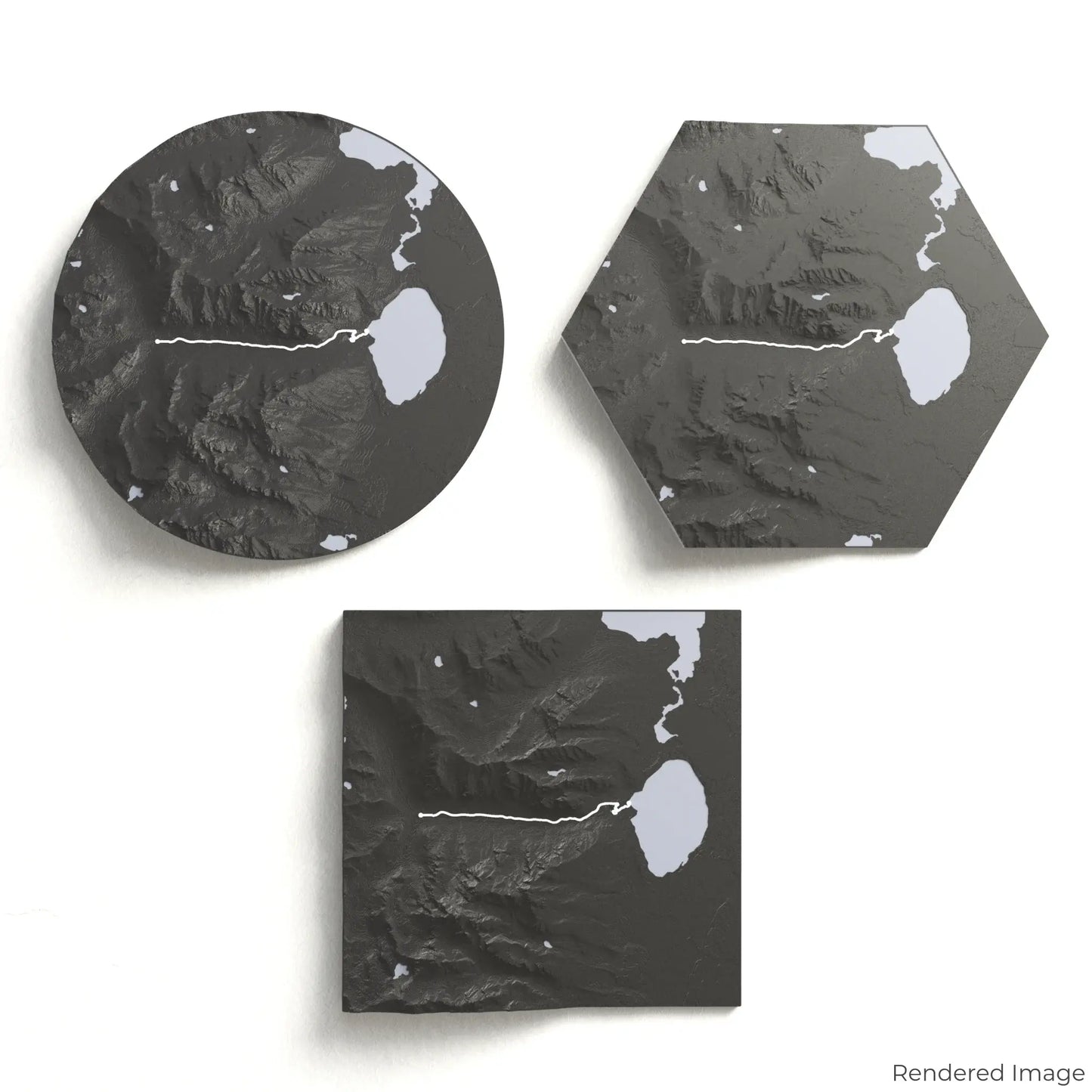
Choose from four striking colour themes and three unique shapes to create an eye-catching centrepiece for your wall or table. This handcrafted map is the perfect way to commemorate your hike along the Cascade Canyon Trail or as a thoughtful gift for fellow explorers.
Available Sizes and Shapes
Circle: 222 x 222 x 46 mm (8.7 x 8.7 x 1.8 inches)
Hexagon: 242 x 212 x 46 mm (9.5 x 8.3 x 1.8 inches)
Square: 198 x 198 x 46 mm (7.8 x 7.8 x 1.8 inches)
Premium Craftsmanship
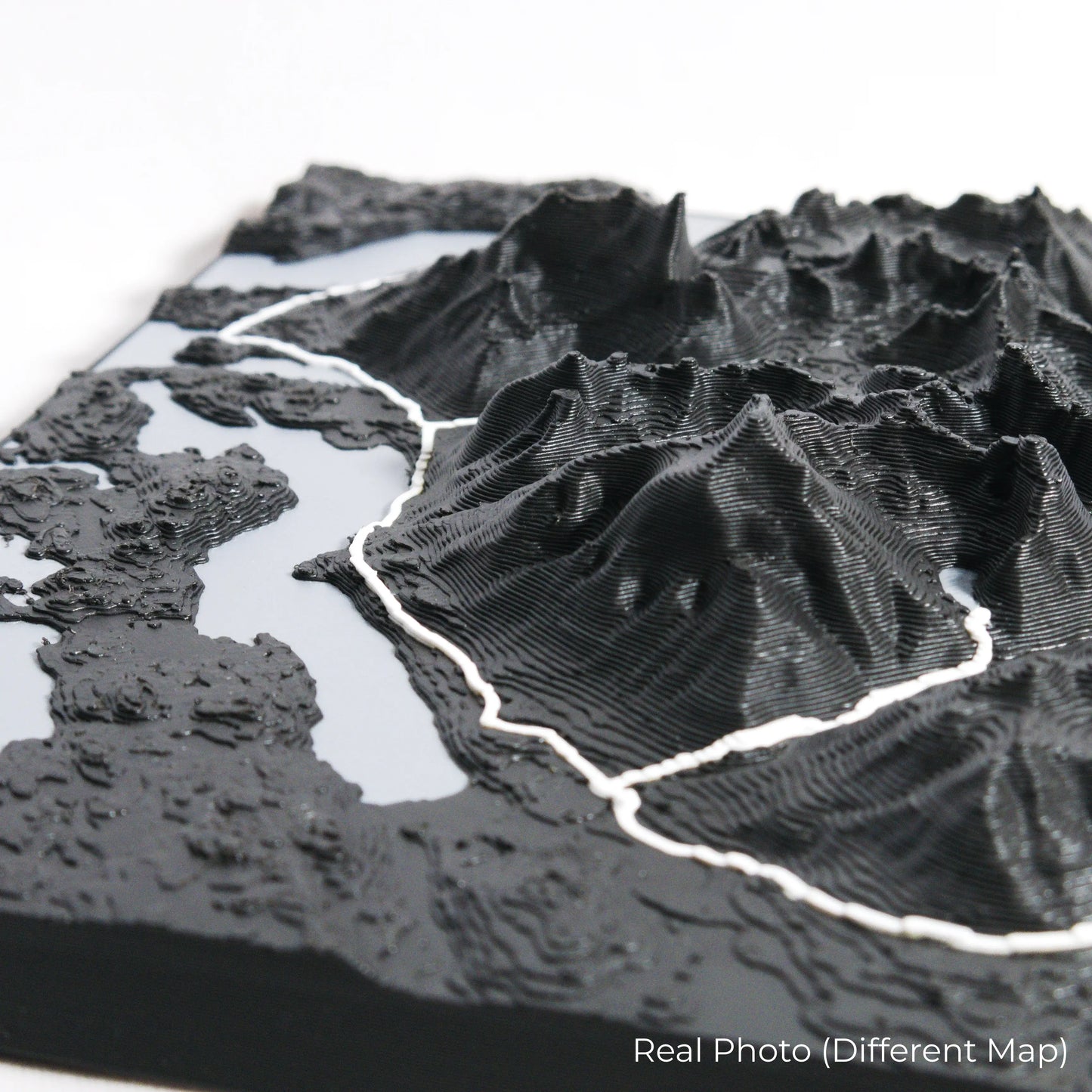
Our maps are meticulously crafted using advanced colour 3D printing technology and PLA, a durable and plant-based plastic.
Please Note: Some product photos are digitally rendered for illustrative purposes and are labelled as "Rendered Image" for clarity. The actual product may show slight variations and natural imperfections due to the 3D printing process and material properties.
Bring the Tetons Home
Celebrate your love for the mountains with this one-of-a-kind keepsake. Whether you're reliving cherished memories or planning your next visit, this 3D map is a testament to the natural beauty of the Cascade Canyon Trail.
Order now and let us create a memento as unforgettable as your journey!
Data Sources
Our maps are created using high-precision topographic data from the following sources:
OpenStreetMap: openstreetmap.org/copyright
Copernicus WorldDEM-30: Produced using Copernicus WorldDEM-30 © DLR e.V. 2010-2014 and © Airbus Defence and Space GmbH 2014-2018, provided under COPERNICUS by the European Union and ESA; all rights reserved.