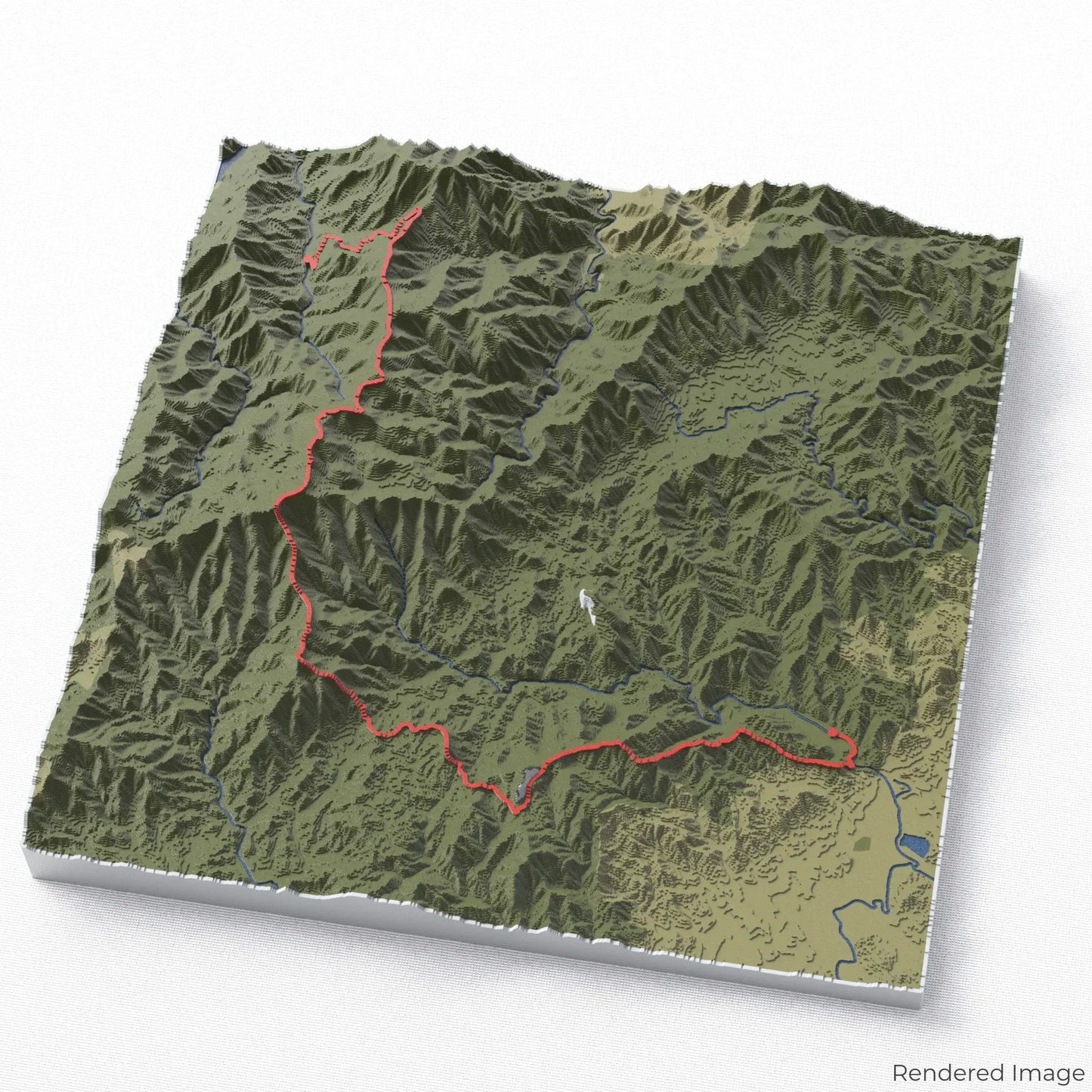
Conquer the Art Loeb Trail
Explore one of North Carolina’s most scenic and challenging hikes with our 3D topographic map of the Art Loeb Trail. This breathtaking route winds through rugged ridgelines, dense forests, and expansive mountain views.
A Trail Through the Blue Ridge Mountains
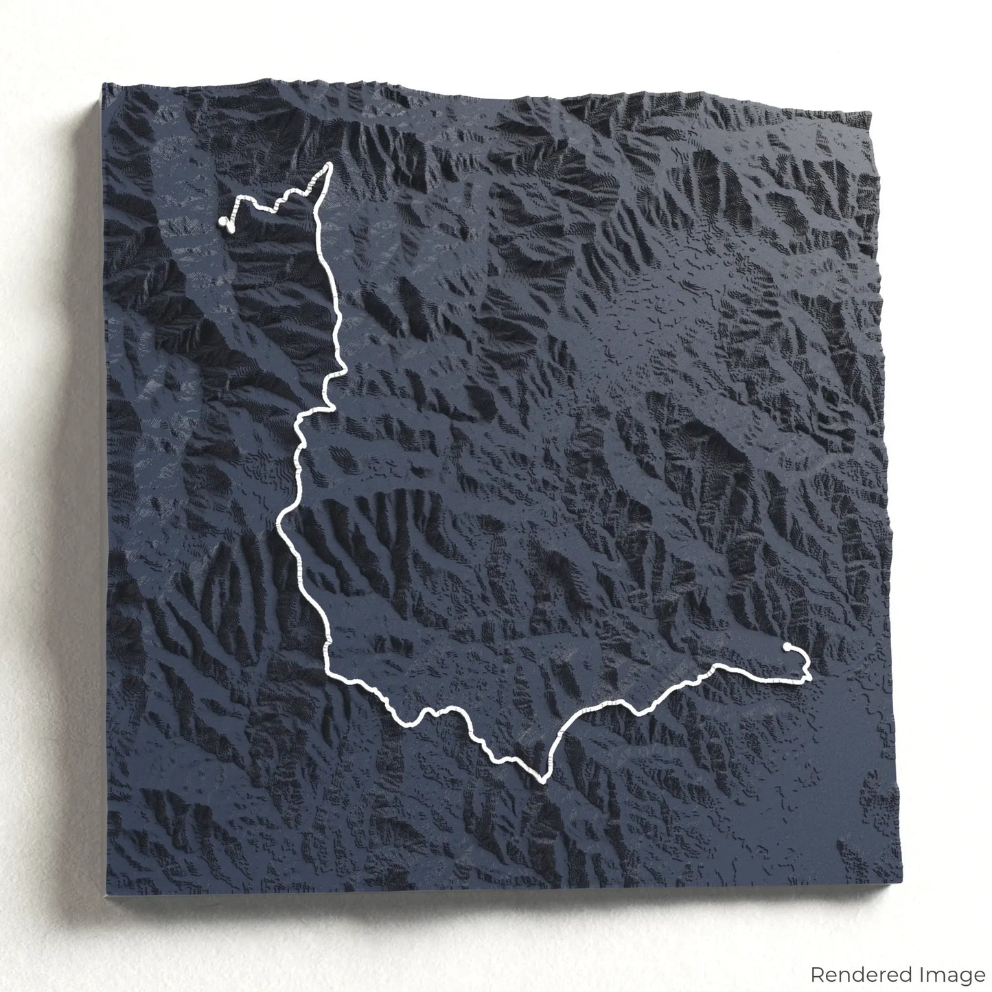
The Art Loeb Trail spans approximately 50 kilometres (31 miles), traversing some of the highest peaks in the Appalachian Mountains. With sweeping views from Black Balsam Knob, dramatic ascents through Shining Rock Wilderness, and lush rhododendron tunnels, this trek is a true adventure. Whether you’ve hiked this incredible trail or dream of tackling it, our handcrafted map captures the spirit of the Art Loeb Trail.
Create Your Custom Trail Keepsake
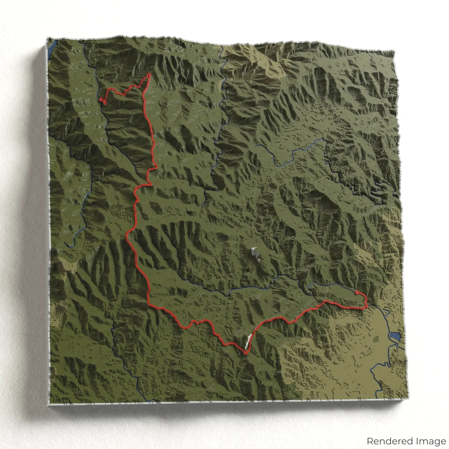
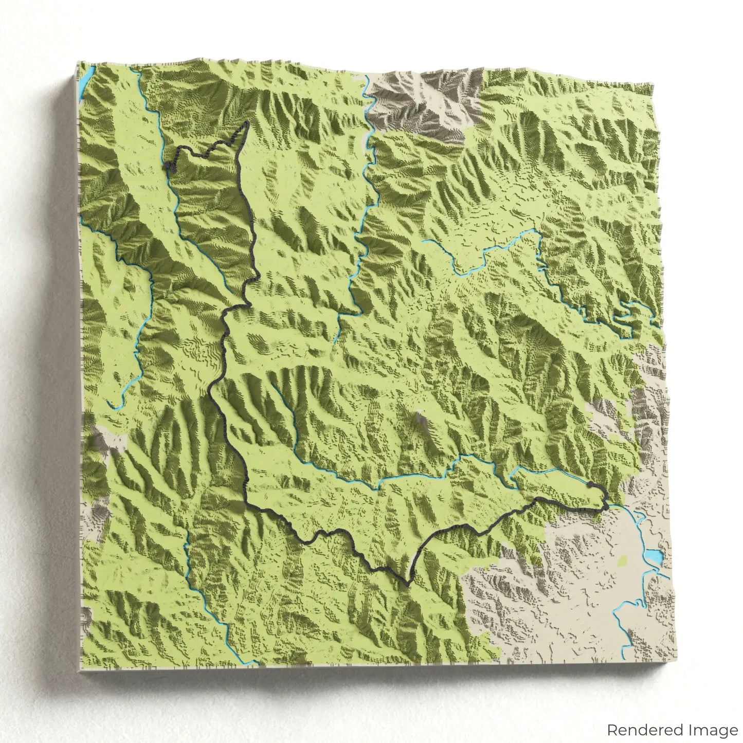
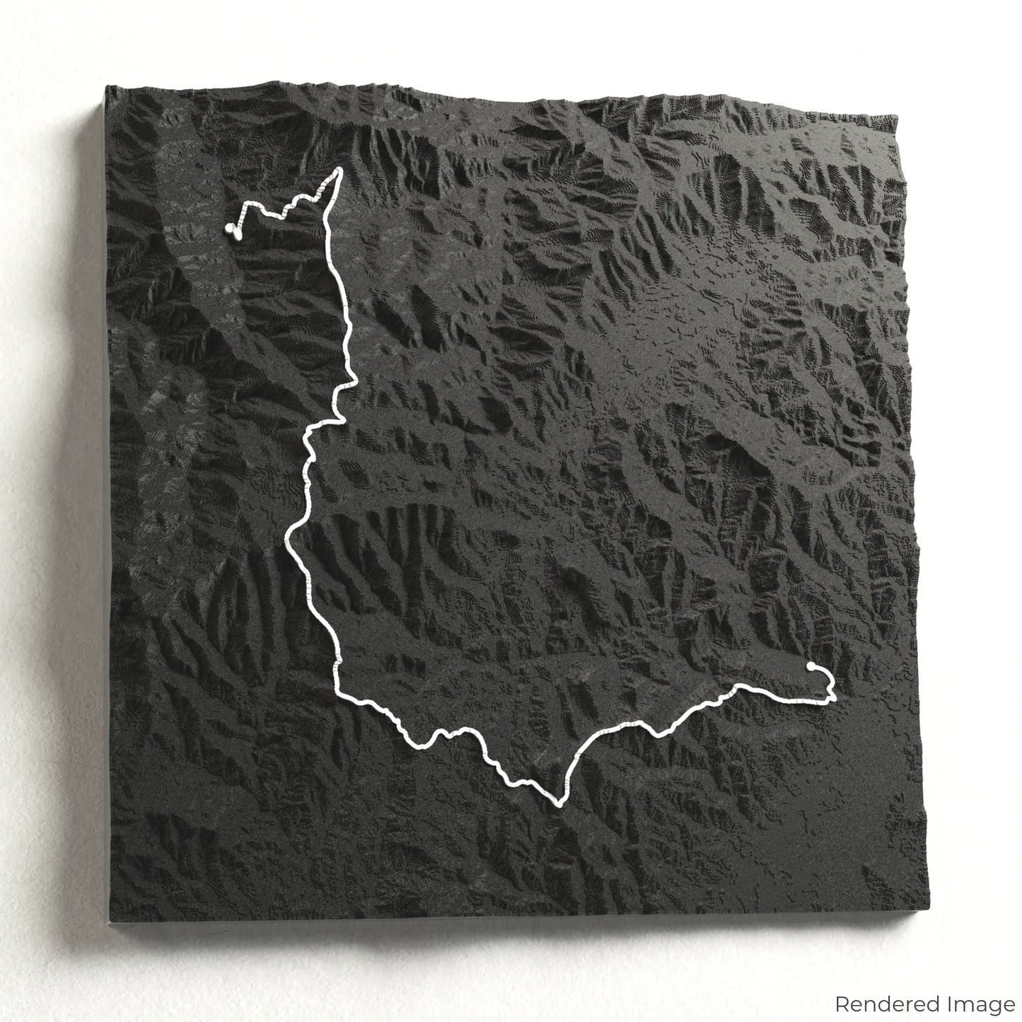
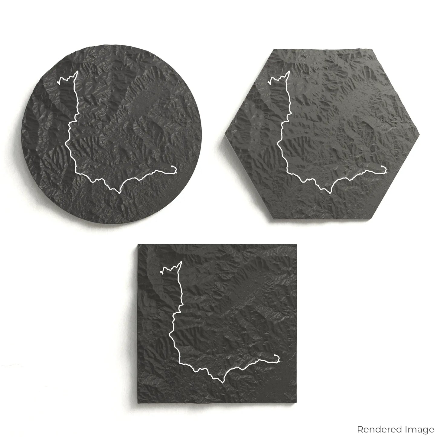
Choose from four striking colour themes and three unique shapes to create a stunning centrepiece for your wall or table. This handcrafted map is the perfect way to commemorate your Art Loeb Trail journey or as a thoughtful gift for fellow adventurers.
Pick the Perfect Fit for Your Space
Circle: 222 x 222 x 30 mm (8.7 x 8.7 x 1.2 inches)
Hexagon: 242 x 212 x 30 mm (9.5 x 8.3 x 1.2 inches)
Square: 198 x 198 x 30 mm (7.8 x 7.8 x 1.2 inches)
Designed with Precision and Detail
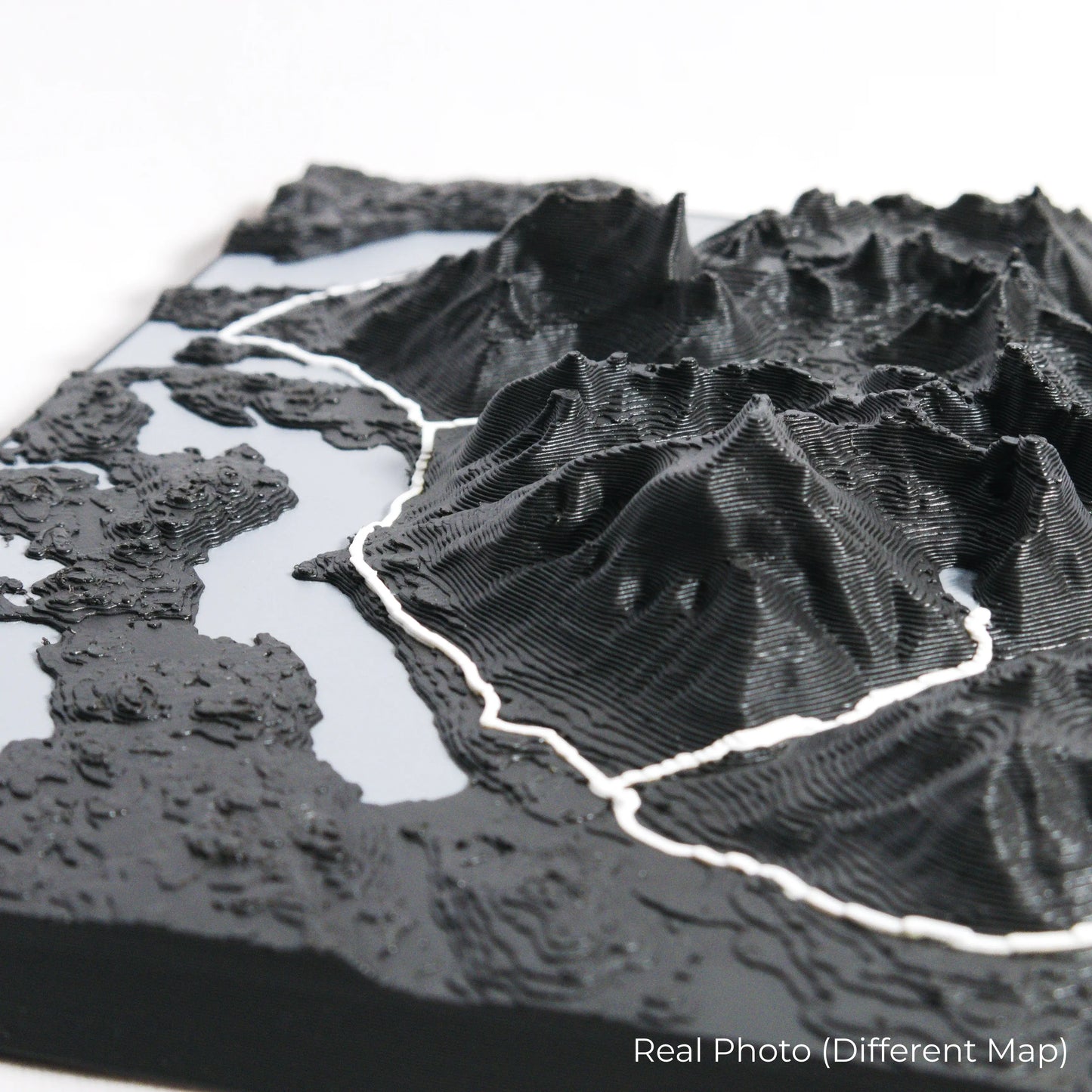
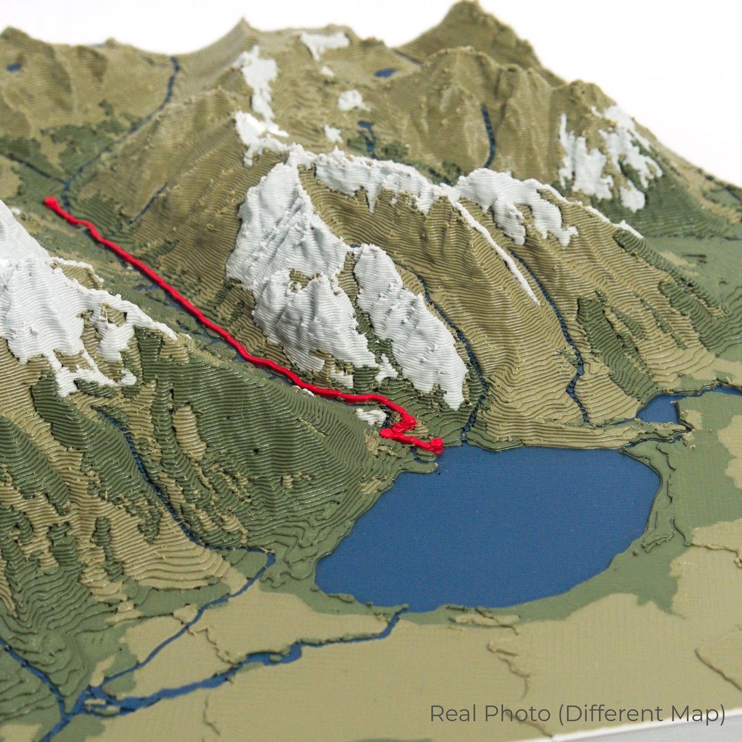
Our maps are meticulously crafted using advanced colour 3D printing technology and PLA, a durable and plant-based plastic.
Please Note: Some product photos are digitally rendered for illustrative purposes and are labelled as "Rendered Image" for clarity. The actual product may show slight variations and natural imperfections due to the 3D printing process and material properties.
Take the Blue Ridge Mountains Home
Celebrate your love for the Appalachian wilderness with this one-of-a-kind keepsake. Whether you're reminiscing about past treks or planning your next adventure, this 3D map is a tribute to the stunning beauty of the Art Loeb Trail.
Order now and let us create a memento as unforgettable as your journey!
Data Sources
Our maps are created using high-precision topographic data from the following sources:
OpenStreetMap: openstreetmap.org/copyright
Copernicus WorldDEM-30: Produced using Copernicus WorldDEM-30 © DLR e.V. 2010-2014 and © Airbus Defence and Space GmbH 2014-2018, provided under COPERNICUS by the European Union and ESA; all rights reserved.