Conquer the Arctic Circle Trail
Embark on an unforgettable adventure across Greenland’s remote wilderness with our 3D topographic map of the Arctic Circle Trail. This long-distance trek takes you through vast tundras, glacial rivers, and breathtaking Arctic landscapes.
A Journey Across Greenland’s Untamed Beauty
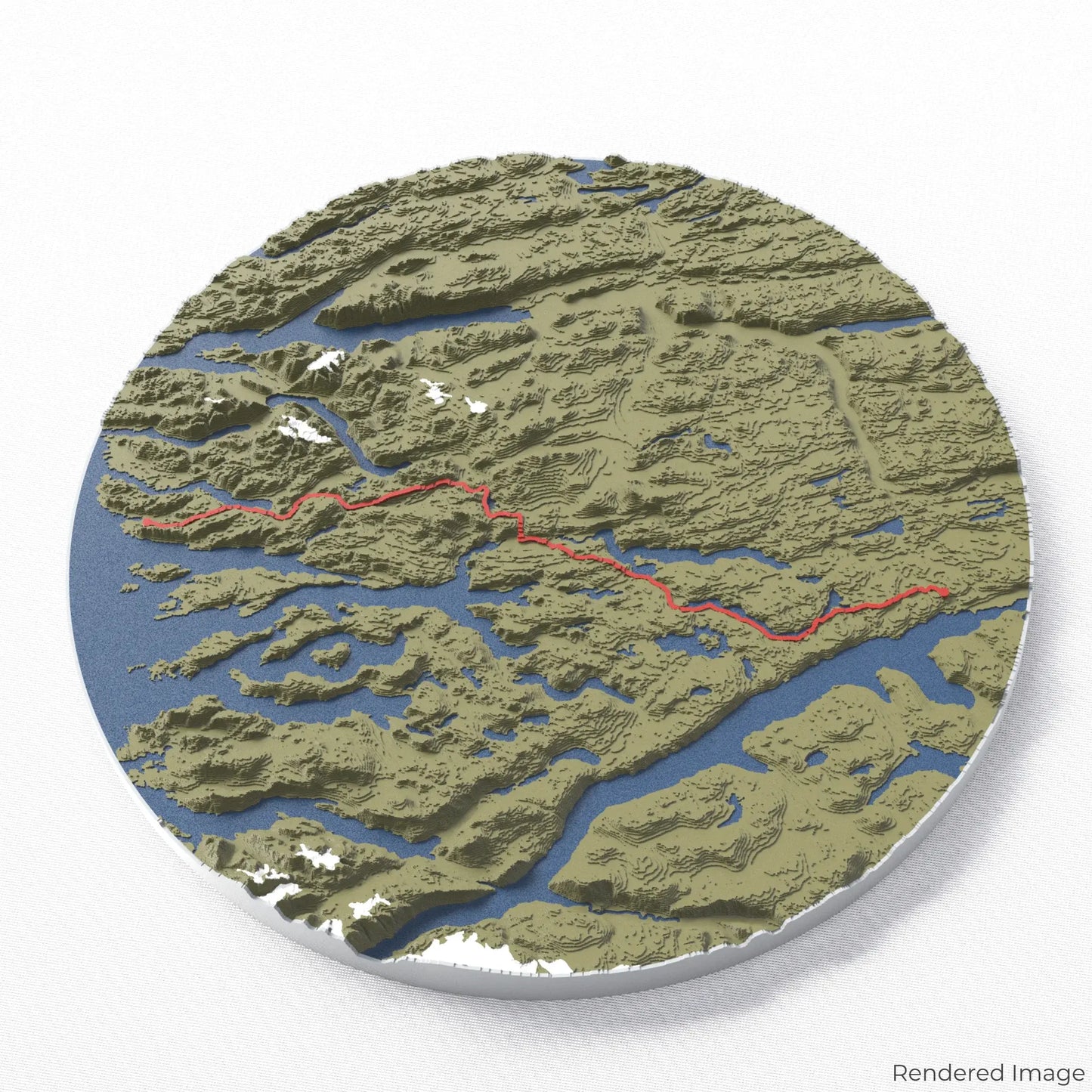
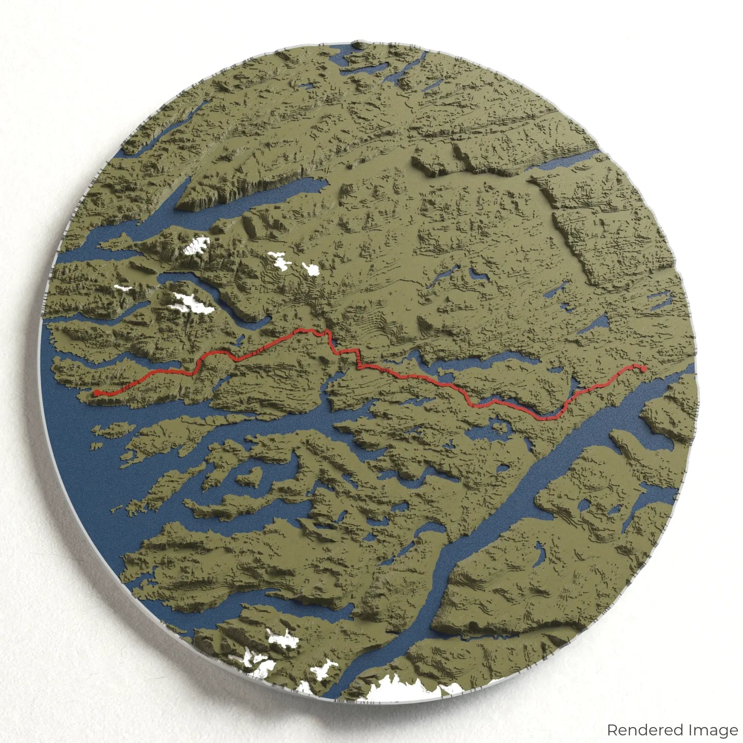
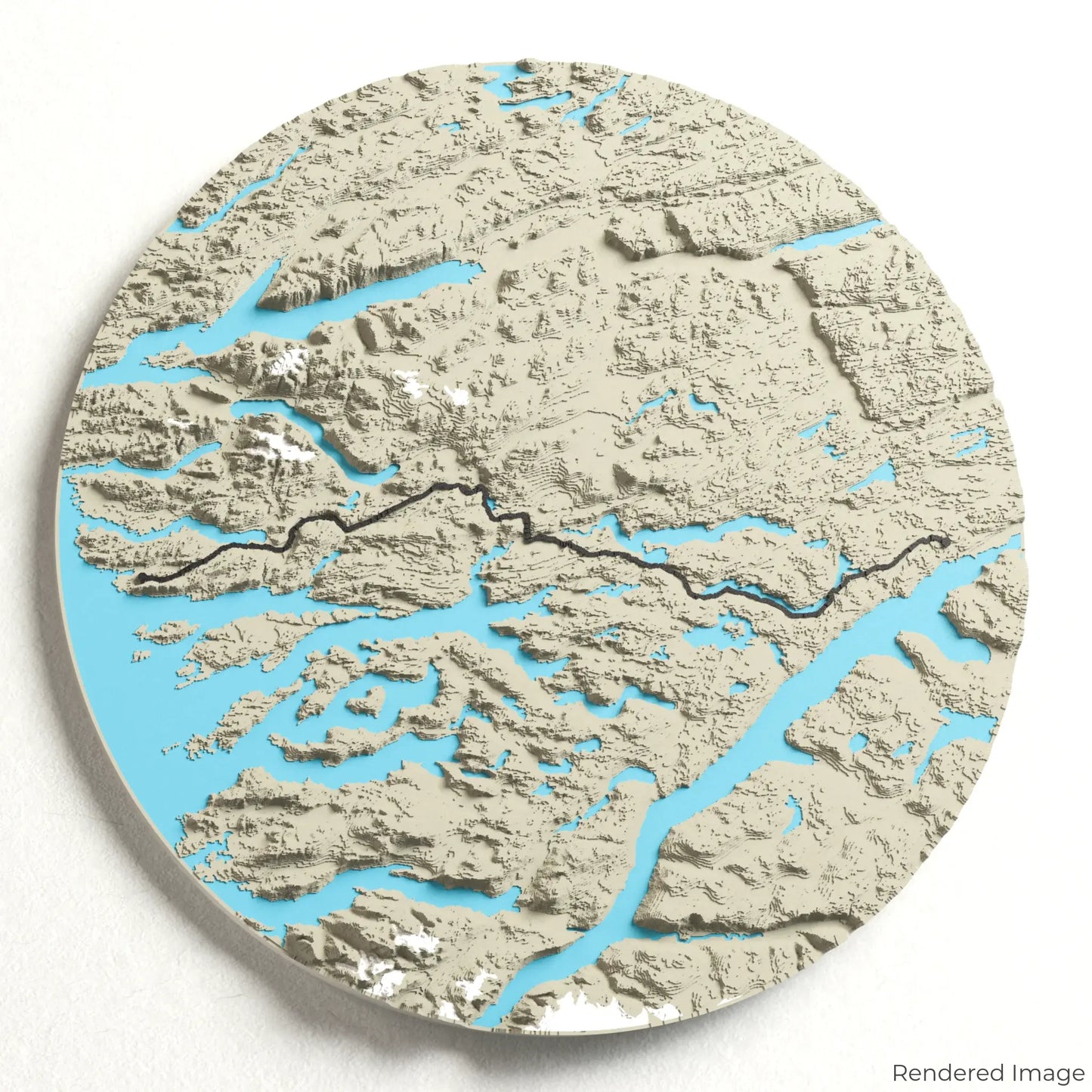
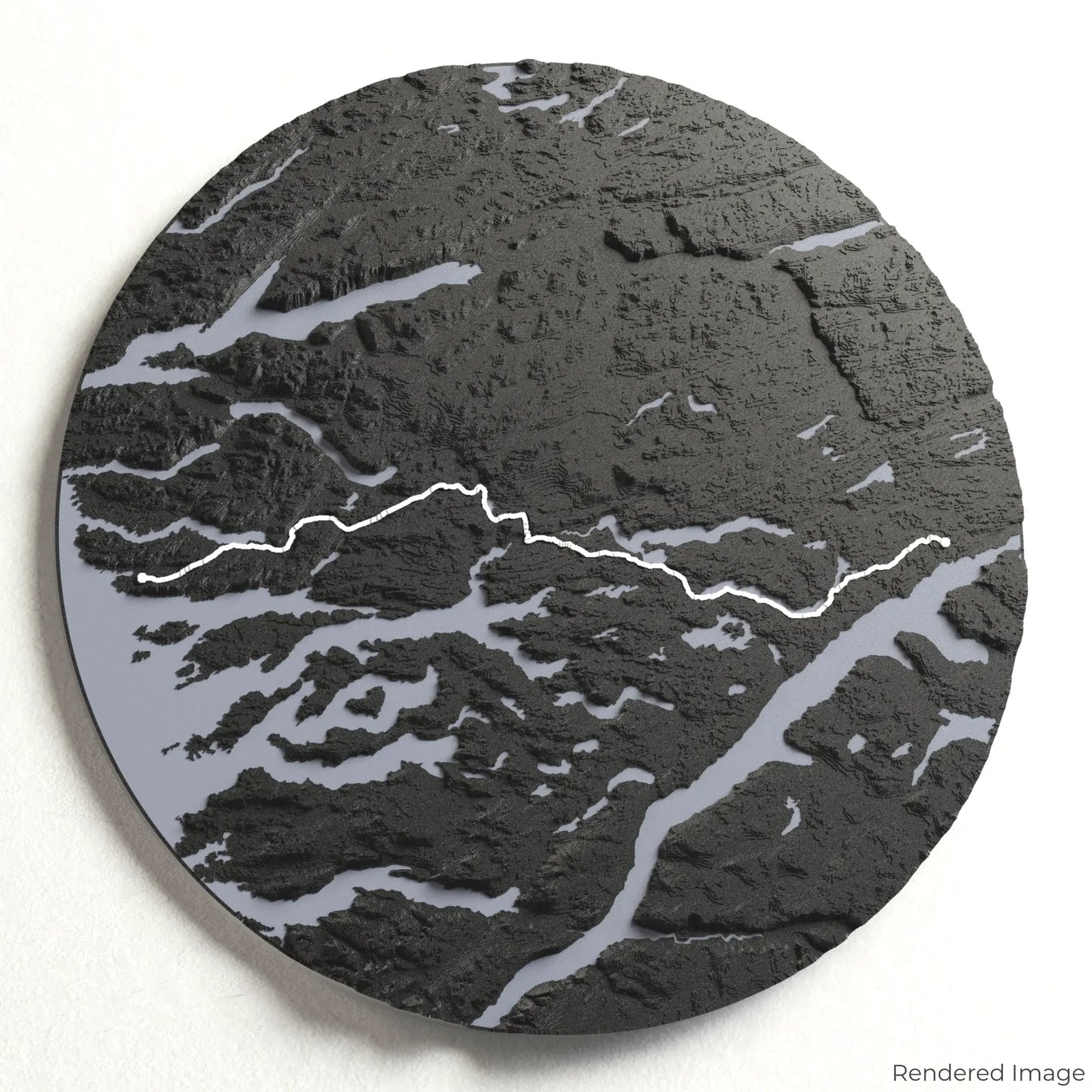
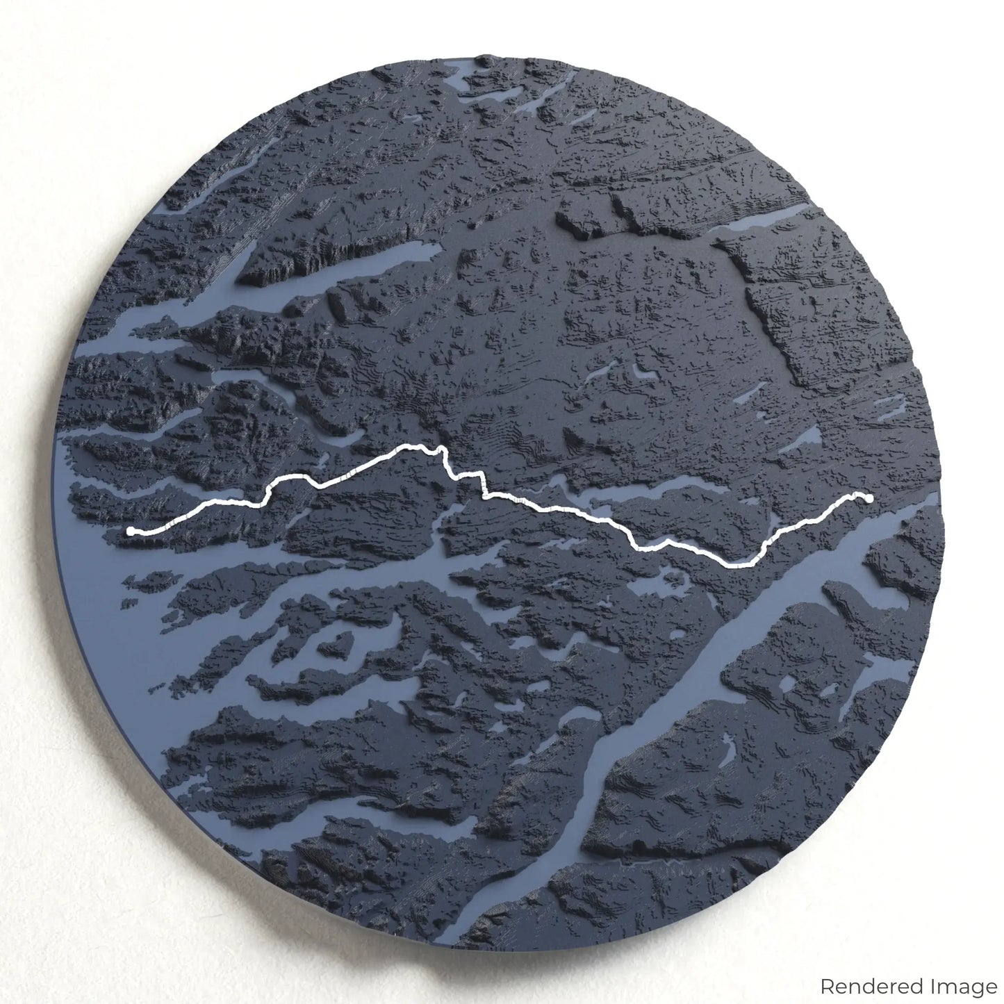
The Arctic Circle Trail spans approximately 165 kilometres (103 miles), winding through untouched valleys, shimmering lakes, and rolling hills. With highlights including the striking Sisimiut mountains and the endless Arctic horizon, this trek is a true test of endurance and a gateway to nature in its purest form. Whether you've completed this epic route or aspire to, our handcrafted map captures the essence of the Arctic Circle Trail.
Personalise Your Adventure Keepsake
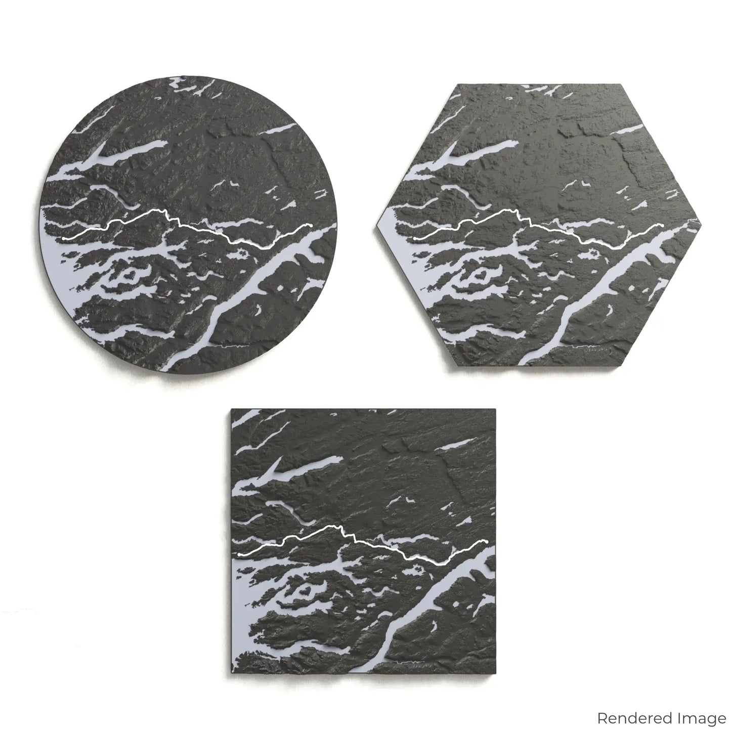
Choose from four striking colour themes and three unique shapes to create an eye-catching centrepiece for your wall or table. This handcrafted map is the perfect way to celebrate your Arctic Circle Trail journey or as a thoughtful gift for fellow explorers.
Choose the Ideal Size and Shape
Circle: 222 x 222 x 17 mm (8.7 x 8.7 x 0.65 inches)
Hexagon: 243 x 212 x 17 mm (9.6 x 8.3 x 0.65 inches)
Square: 198 x 198 x 17 mm (7.8 x 7.8 x 0.65 inches)
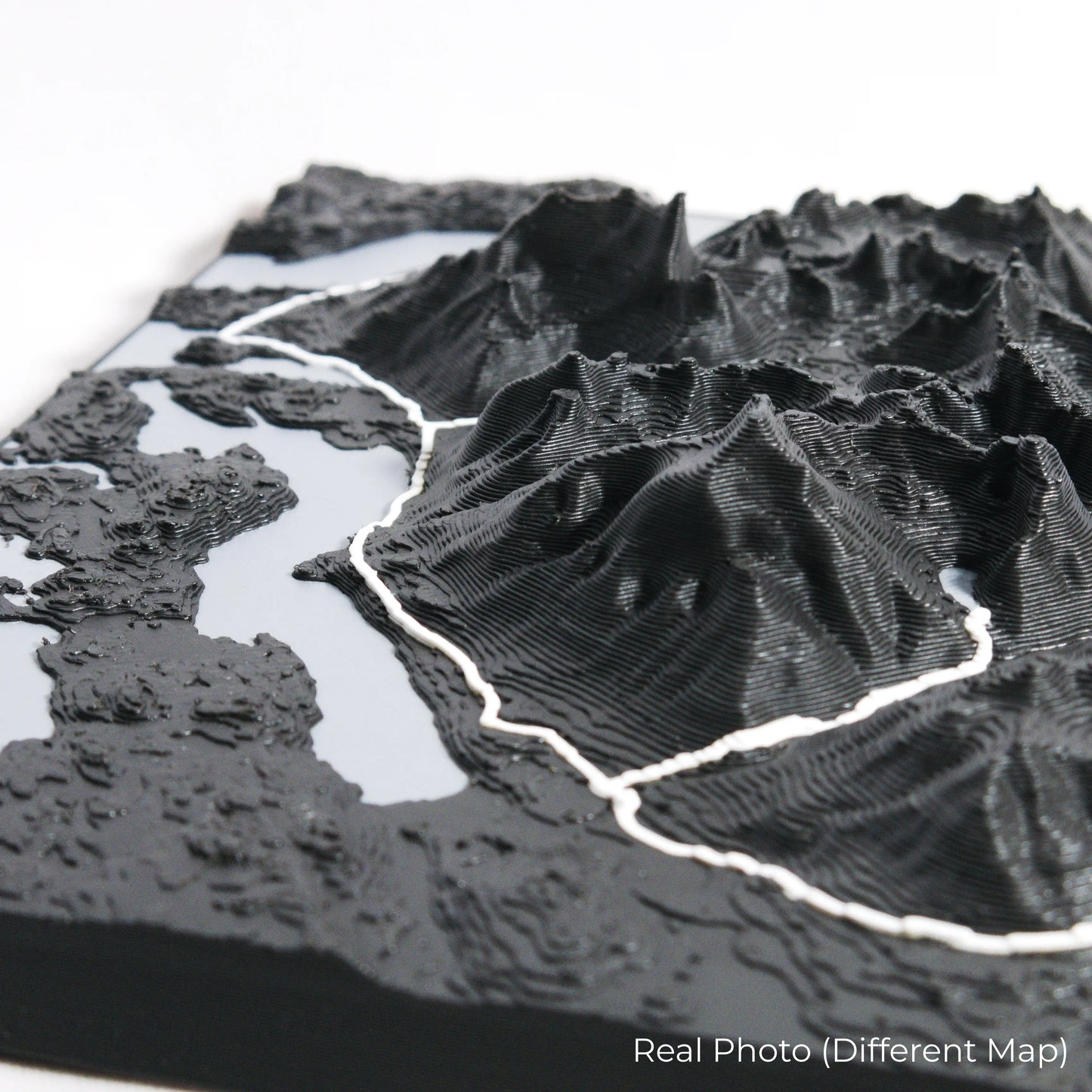
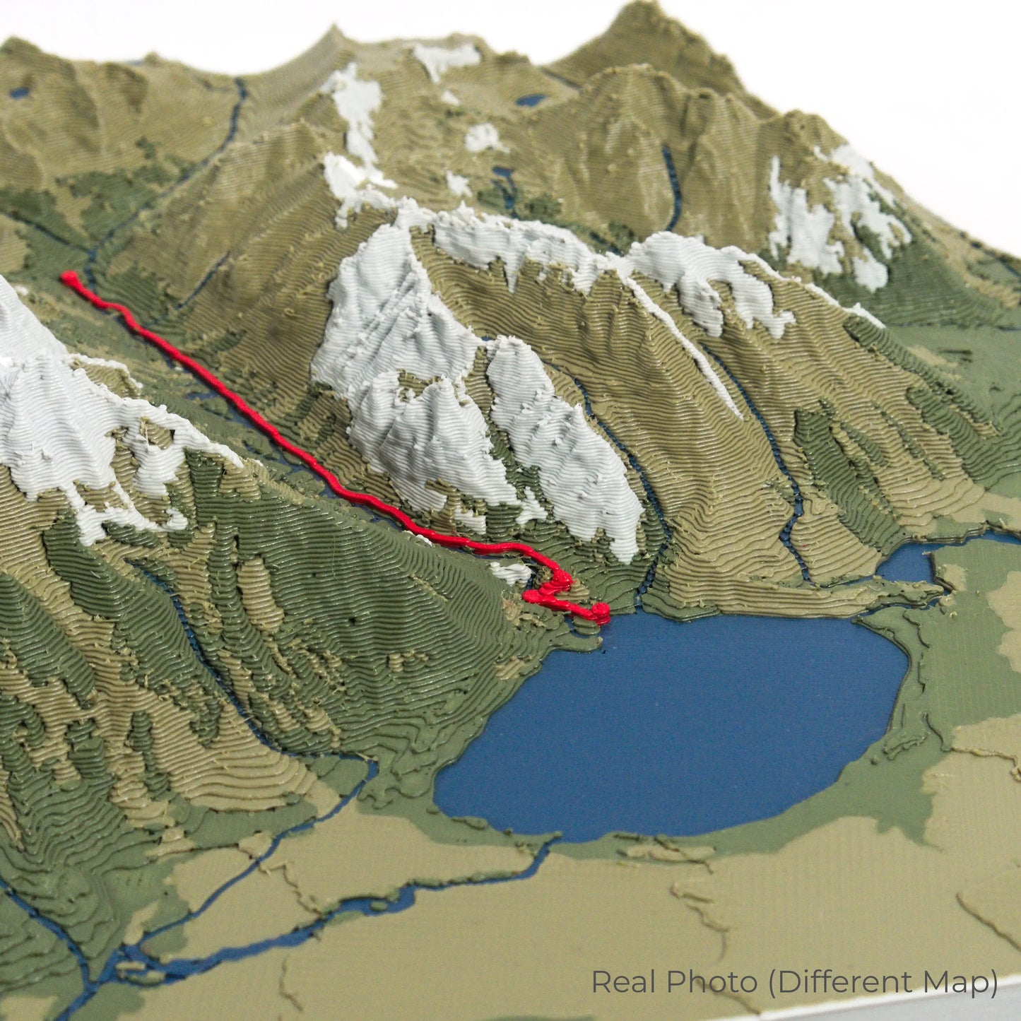
Expertly Designed for Lasting Detail
Our maps are meticulously created using advanced colour 3D printing technology and PLA, a durable and plant-based plastic.
Please Note: Some product photos are digitally rendered for illustrative purposes and are labelled as "Rendered Image" for clarity. The actual product may show slight variations and natural imperfections due to the 3D printing process and material properties.
Take the Arctic Wilderness Home
Celebrate your passion for remote adventure with this one-of-a-kind keepsake. Whether you're reminiscing about past treks or preparing for your next expedition, this 3D map is a tribute to the raw beauty of the Arctic Circle Trail.
Order now and let us create a memento as unforgettable as your journey!
Data Sources
Our maps are created using high-precision topographic data from the following sources:
OpenStreetMap: openstreetmap.org/copyright
Copernicus WorldDEM-30: Produced using Copernicus WorldDEM-30 © DLR e.V. 2010-2014 and © Airbus Defence and Space GmbH 2014-2018, provided under COPERNICUS by the European Union and ESA; all rights reserved.